2 trails found in Idaho
Which "teepee rocks" are you looking for?
We found 2 off-road trails in Idaho matching your search. Pick the one you're looking for below.
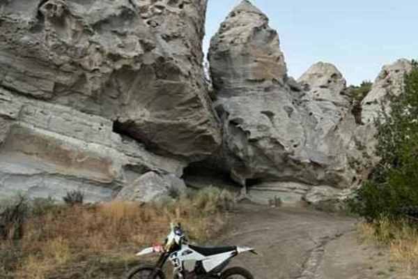
Teepee Rocks via Trapper Creek (7010) and Flatiron (70680)
Take a great piece of difficult single track to a fun, fast, overgrown ATV double track down to the locally famous "Teepee Rocks." While Teepee Rocks can be accessed by any size rig via the gravel road, this gives single-track fans a fun, challenging way to see the rocks and enjoy the ride.
Learn more about Teepee Rocks via Trapper Creek (7010) and Flatiron (70680)
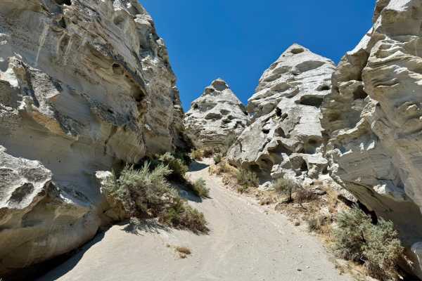
Teepee Rocks
This route follows the road past Oakley Reservoir. The gravel road around the reservoir is a little rough with many rocky spots as you follow the shelf road high above the reservoir. The final half mile of the trail is the most technical with some steep and very narrow sections around some juniper...
Learn more about Teepee Rocks