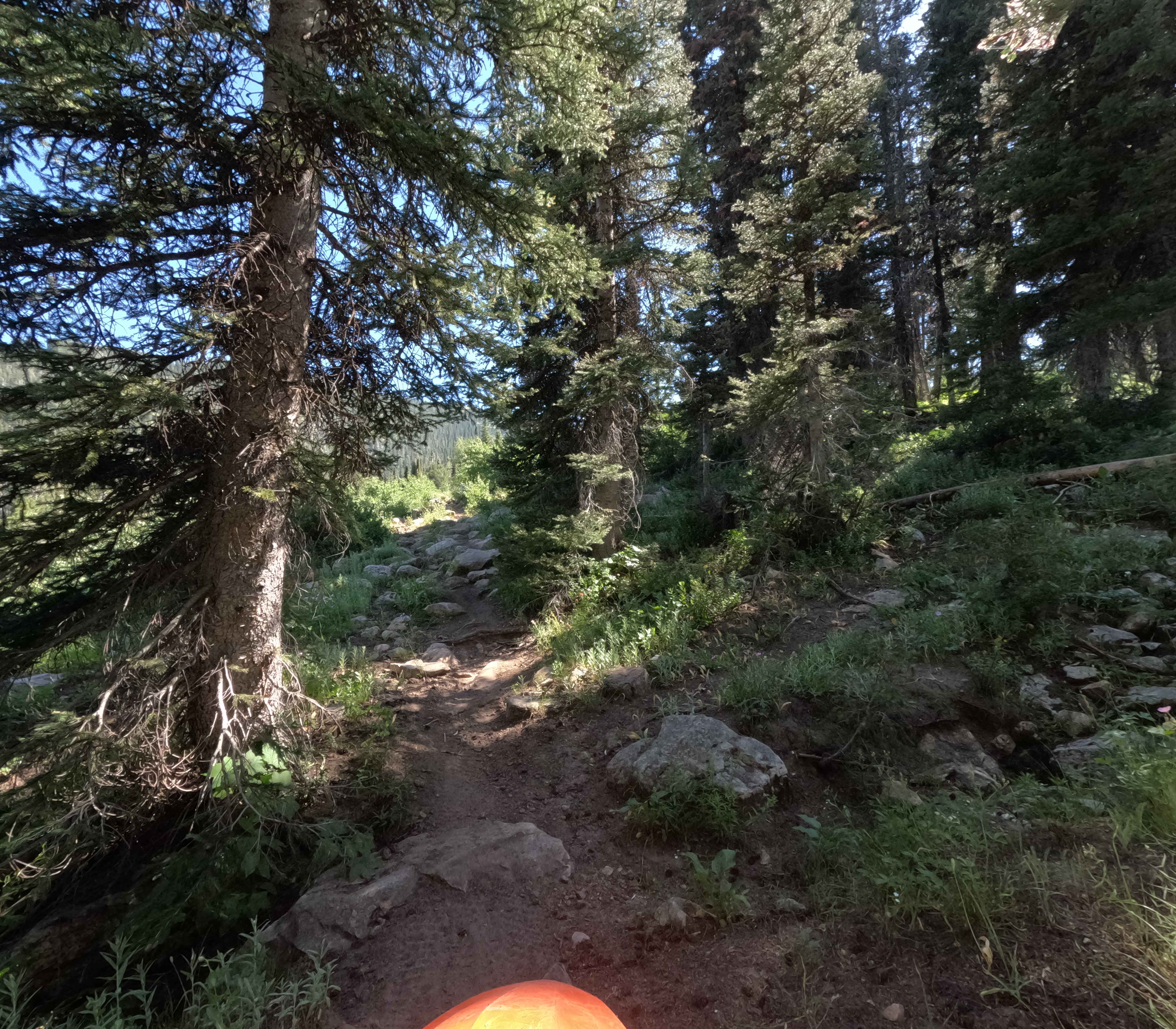
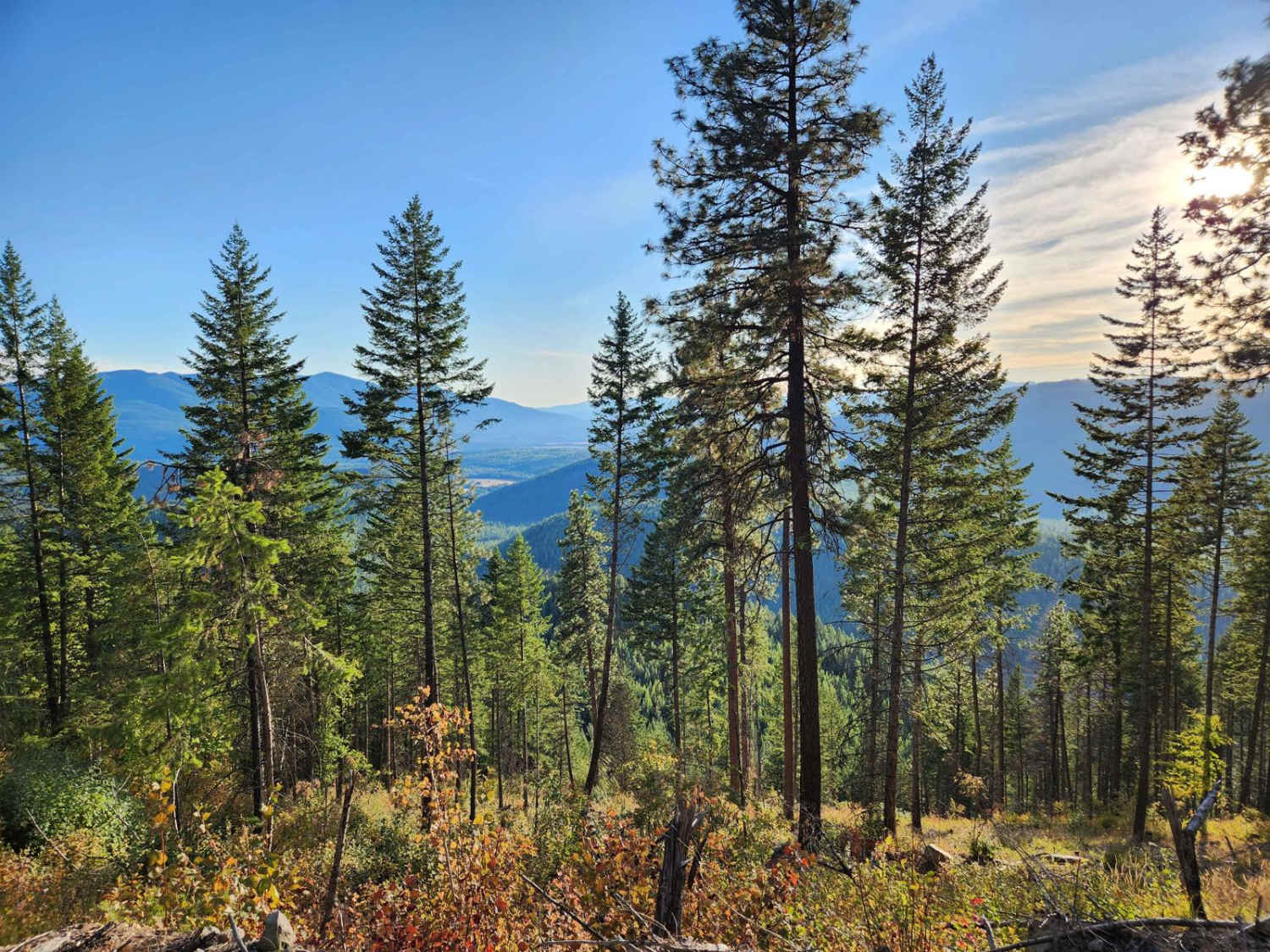
Off-Road Trails in Idaho
Discover off-road trails in Idaho
Learn more about Slate Trail #3119 
Slate Trail #3119
Total Miles
0.9
Tech Rating
Easy
Best Time
Summer, Fall
Learn more about Sly Gulch 
Sly Gulch
Total Miles
2.3
Tech Rating
Easy
Best Time
Fall, Summer, Spring, Winter
Learn more about Smiley Creek 
Smiley Creek
Total Miles
5.4
Tech Rating
Easy
Best Time
Spring, Summer, Fall
Learn more about Smith Creek of Boundary County
Smith Creek of Boundary County
Total Miles
12.0
Tech Rating
Easy
Best Time
Summer
Learn more about Smitty's Lower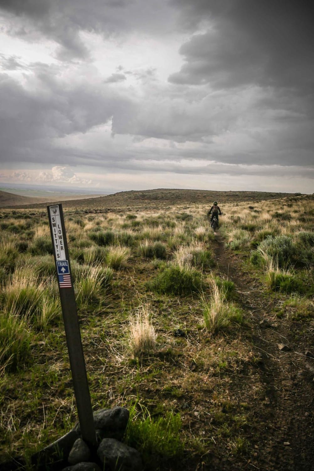
Smitty's Lower
Total Miles
0.9
Tech Rating
Easy
Best Time
Winter, Fall, Spring, Summer
Learn more about Smitty's Upper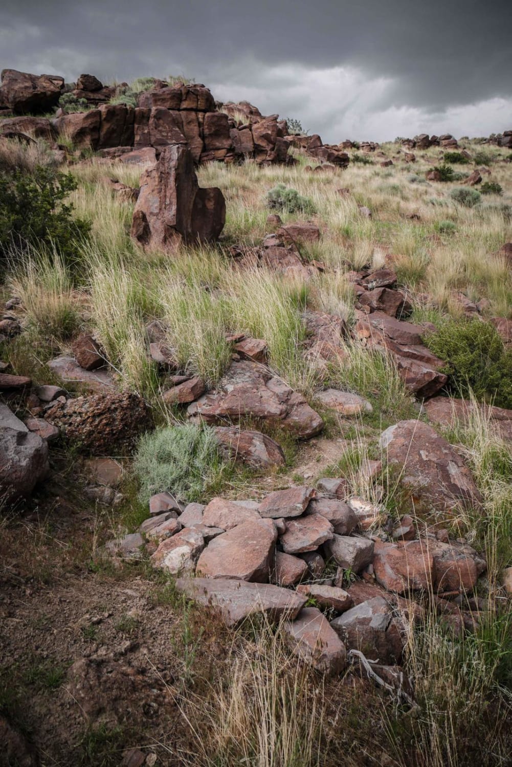
Smitty's Upper
Total Miles
4.9
Tech Rating
Moderate
Best Time
Winter, Fall, Summer, Spring
Learn more about Smokiest of Domes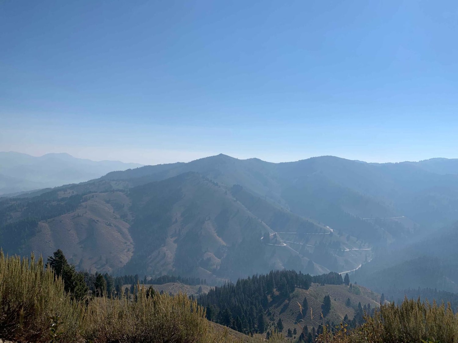
Smokiest of Domes
Total Miles
11.3
Tech Rating
Easy
Best Time
Spring, Summer, Fall
Learn more about Snake River Grassy Trail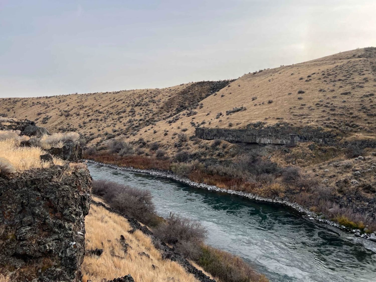
Snake River Grassy Trail
Total Miles
3.1
Tech Rating
Moderate
Best Time
Spring, Summer, Fall
Learn more about Snake River Overlooks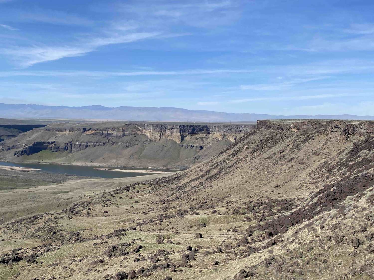
Snake River Overlooks
Total Miles
2.1
Tech Rating
Easy
Best Time
Spring, Summer, Fall
Learn more about Snake Skin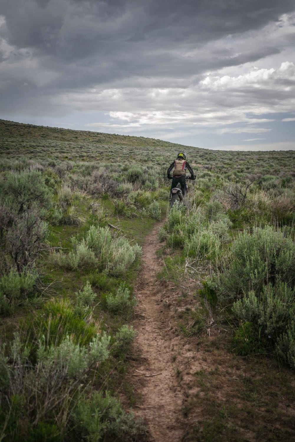
Snake Skin
Total Miles
1.4
Tech Rating
Easy
Best Time
Winter, Fall, Spring, Summer

Learn more about Solitaire Creek / Sob Creek 4WD
Solitaire Creek / Sob Creek 4WD
Total Miles
16.2
Tech Rating
Moderate
Best Time
Spring, Summer, Fall
ATV trails in Idaho
Learn more about Aspen Range - Middle Sulphur #5248 
Aspen Range - Middle Sulphur #5248
Total Miles
1.9
Tech Rating
Easy
Best Time
Summer, Fall
Learn more about Dry Fork - Meadow Springs #5226 
Dry Fork - Meadow Springs #5226
Total Miles
0.4
Tech Rating
Easy
Best Time
Summer, Fall
Learn more about South Foothill Road
South Foothill Road
Total Miles
8.2
Tech Rating
Moderate
Best Time
Summer, Fall

UTV/side-by-side trails in Idaho
Learn more about South Foothill Road
South Foothill Road
Total Miles
8.2
Tech Rating
Moderate
Best Time
Summer, Fall

Learn more about 21 To Nip & Tuck
21 To Nip & Tuck
Total Miles
1.4
Tech Rating
Easy
Best Time
Fall, Summer, Spring

The onX Offroad Difference
onX Offroad combines trail photos, descriptions, difficulty ratings, width restrictions, seasonality, and more in a user-friendly interface. Available on all devices, with offline access and full compatibility with CarPlay and Android Auto. Discover what you’re missing today!