Slate Rock
Total Miles
1.6
Technical Rating
Best Time
Summer, Fall
Trail Type
Single Track
Accessible By
Trail Overview
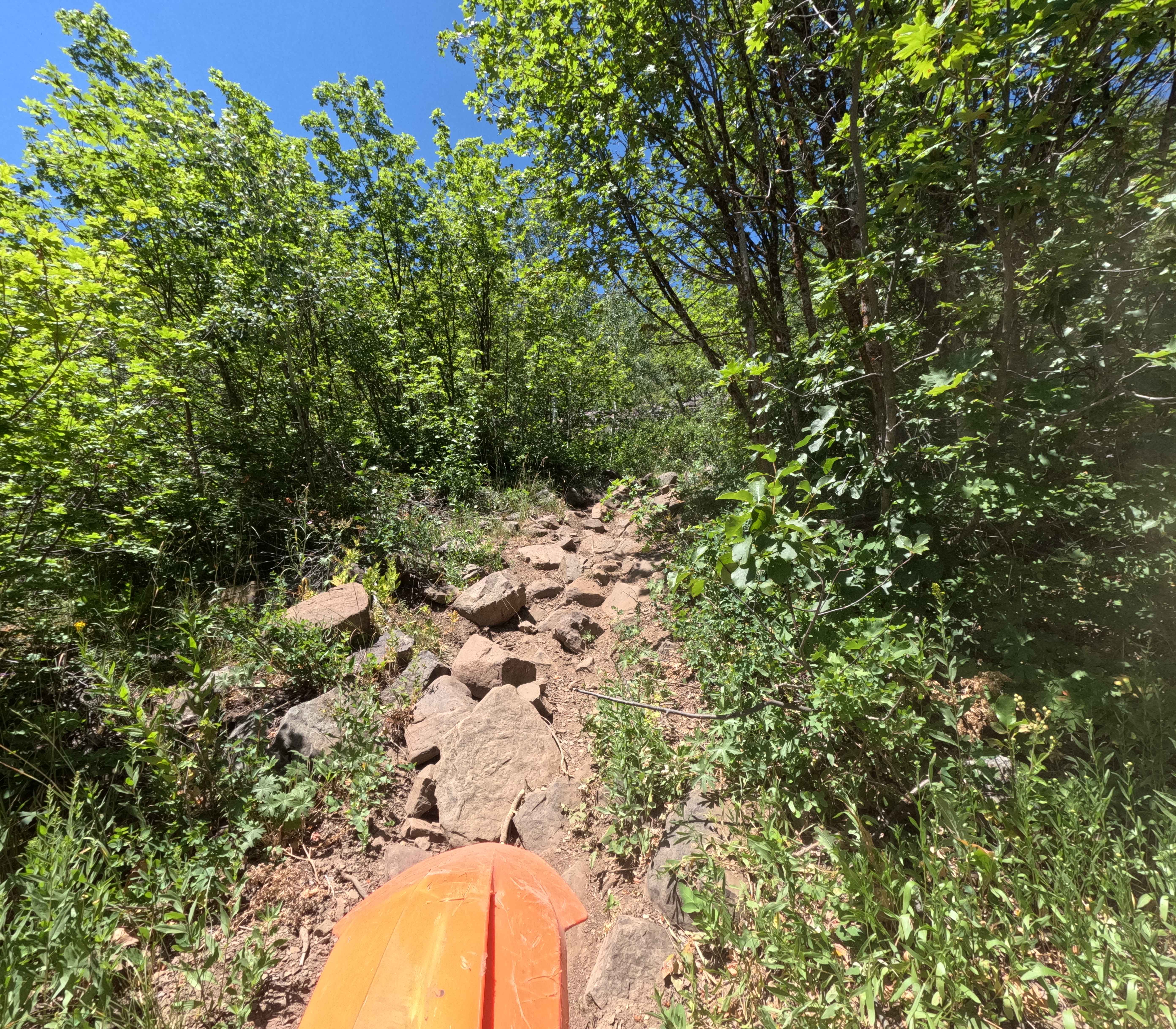
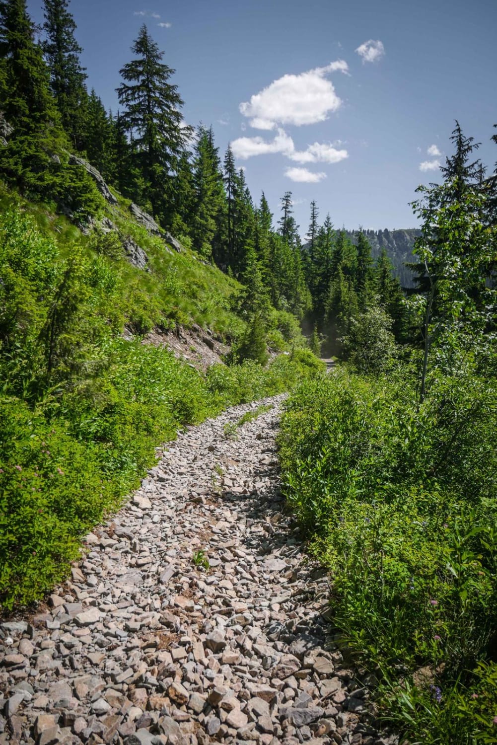
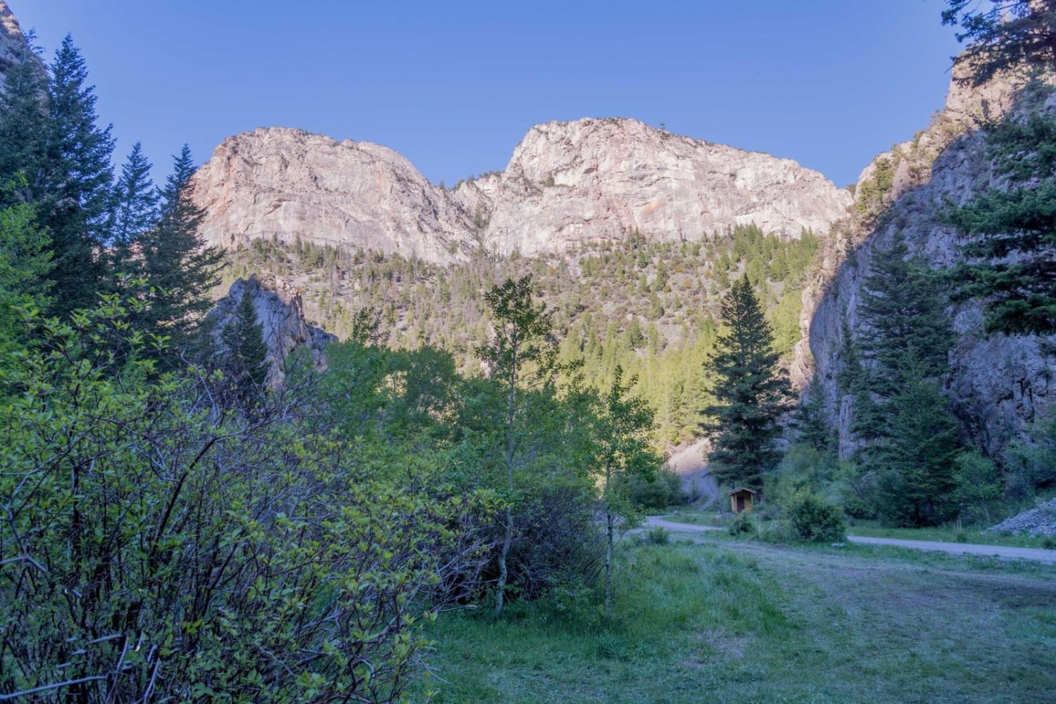
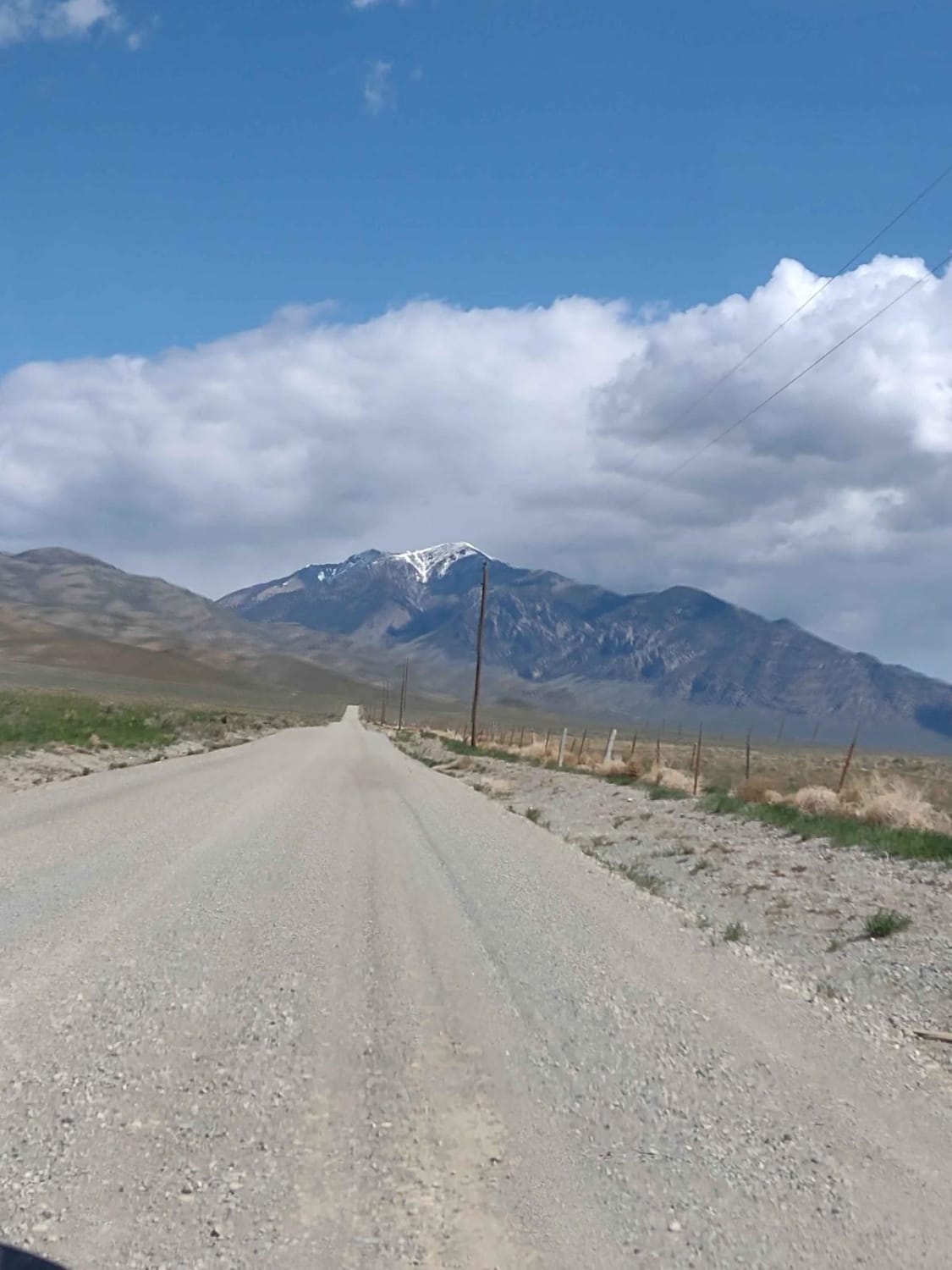
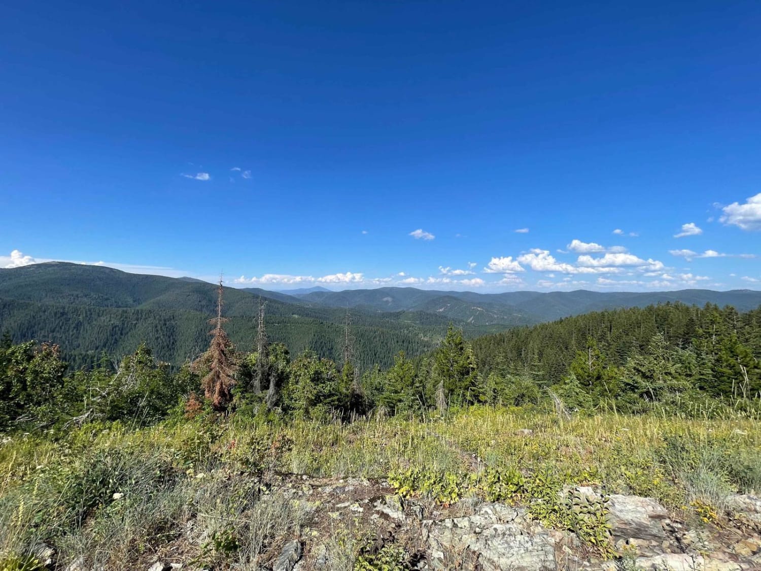
Slate Rock (Trail 3301) is a difficult trail that is isolated in the Idaho Bear River Range. It's 1.6 miles long and travels North West from Forest Service Road 30407 to 3323. The trail is steep in sections and gains 1,300 feet despite being shorter. It's 7.4 miles from the main single track system around Bloomington Lake and requires riding down Forest Service Road 30406 or 30407 to access. Slate Rock starts off of Forest Service Road 30407 in an overgrown area that can be hard to find. The lower section of the trail is easy through a combination of fields and woods. The trail turns into a trench and quickly becomes difficult with steep sections of boulders without bypasses. Near the top, there are sections of root ledges that can be slippery. This is a surprisingly challenging USFS trail.
Photos of Slate Rock

Difficulty
This trail is narrow, overgrown, and has multiple steep rock garden sections. It is very difficult for an established USFS single-track trail.
Status Reports
Slate Rock can be accessed by the following ride types:
- Dirt Bike
Slate Rock Map
Popular Trails
Striped Peak ATV
Arco Pass to Hurst Canyon
Badger Mountain
The onX Offroad Difference
onX Offroad combines trail photos, descriptions, difficulty ratings, width restrictions, seasonality, and more in a user-friendly interface. Available on all devices, with offline access and full compatibility with CarPlay and Android Auto. Discover what you’re missing today!