Snowslide
Total Miles
2.7
Technical Rating
Best Time
Fall, Summer
Trail Type
Single Track
Accessible By
Trail Overview
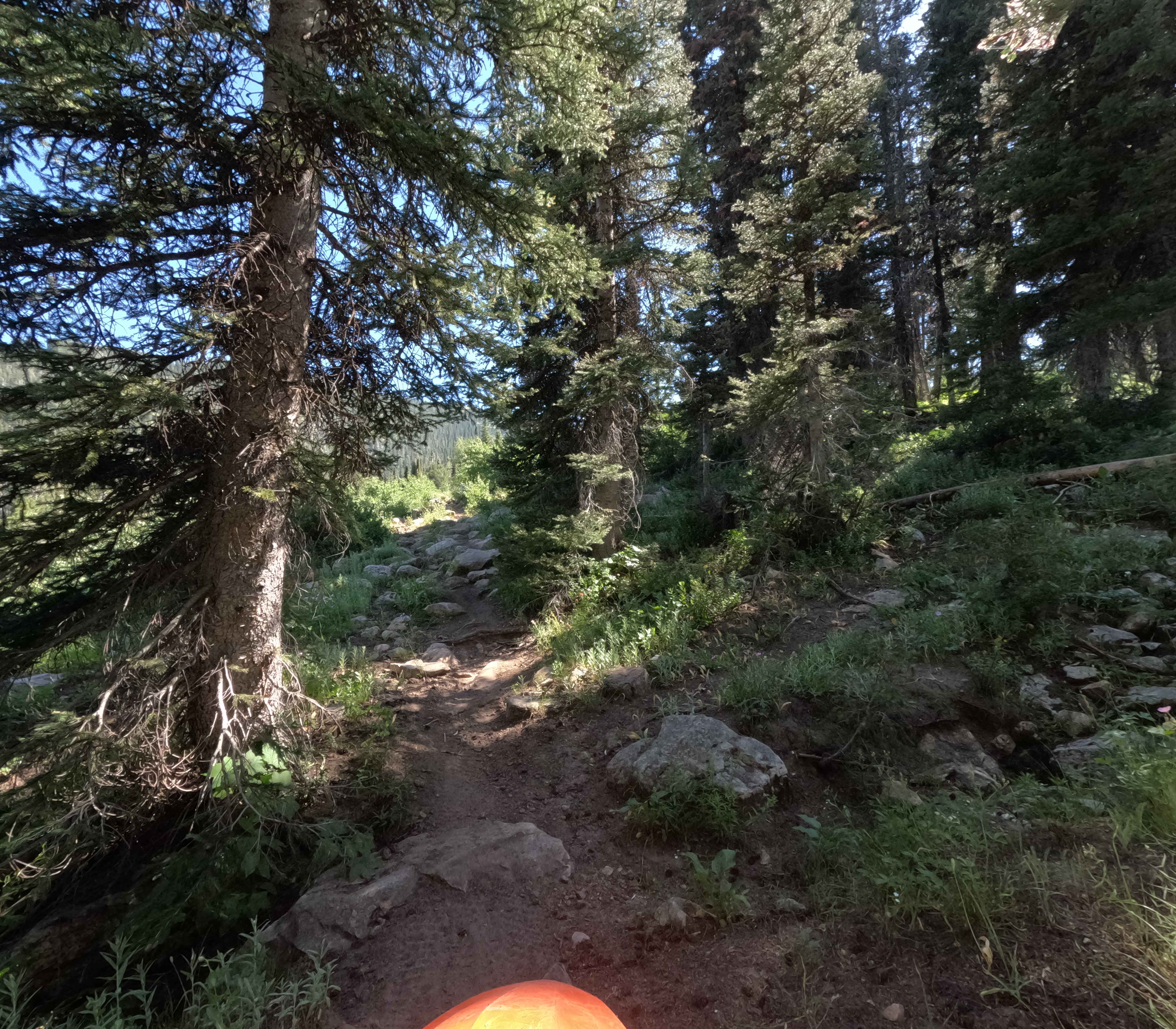
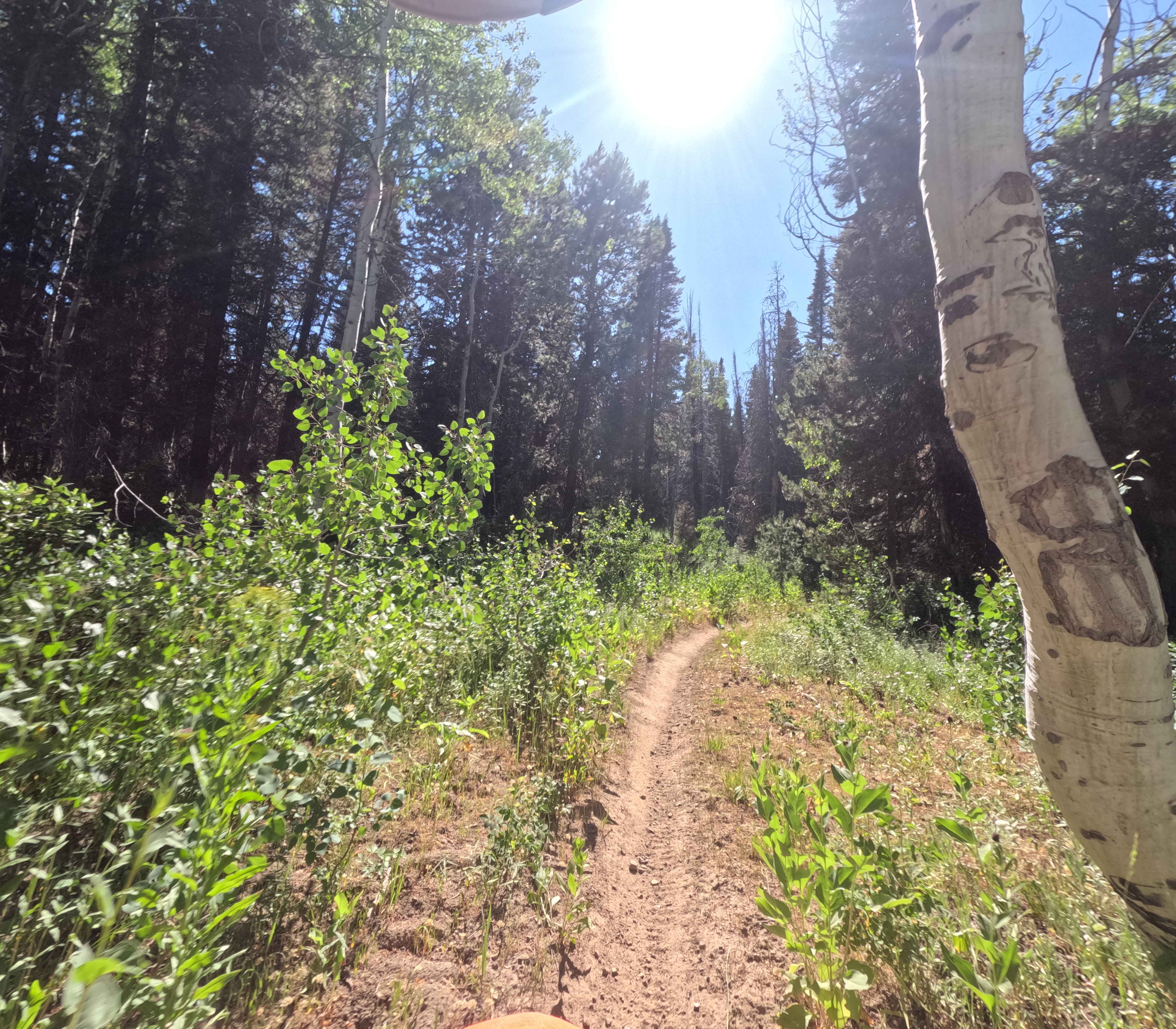
Snowslide (Trail Number 3319) is a rocky 2.6-mile-long single track in the Bear River Range. This trail travels South West from Noth Fork St. Charles to Highline. When ridden in this direction, you'll gain 1,400 feet of elevation. The beginning of this trail is a climb through embedded softball to basketball-sized rocks. Parts of the trail are eroded, and there aren't any bypasses. The remainder of the track alternates between open woods and rock gardens. There's a short creek crossing with larger boulders and some deep puddles. The end of this trail is a steep climb to Highline. This section of forest is open and features multiple lines that will get you to the top.
Photos of Snowslide
Difficulty
This is an extremely rocky trail. Dirt has eroded between many rocks, making it easy to get stuck in multiple areas. There are no bypasses around the rock gardens.
Status Reports
Snowslide can be accessed by the following ride types:
- Dirt Bike
Snowslide Map
Popular Trails

South Heglar Canyon

Connector Trail to 381
Ruben Hollow to Davis Basin 7441

Moose Creek Campground Cutoff
The onX Offroad Difference
onX Offroad combines trail photos, descriptions, difficulty ratings, width restrictions, seasonality, and more in a user-friendly interface. Available on all devices, with offline access and full compatibility with CarPlay and Android Auto. Discover what you’re missing today!