Smith Creek of Boundary County
Total Miles
12.0
Technical Rating
Best Time
Summer
Trail Type
Full-Width Road
Accessible By
Trail Overview
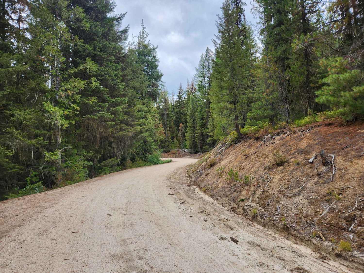
Smith Creek is a sparsely used gravel USFS road #2446 route into the Kaniksu National Forrest near the Canadian border in Northern Idaho. The road has a mild grade and is quite wide and well maintained aside from some corrugations for the first 7.7 miles. The road becomes narrower, and the grade increases until the terminus at the Smith Creek-Red Top trailhead. The area is heavily timbered in pine trees and has significant undergrowth, brush, and moss. There is significant moisture and snow throughout the year. Elk, Deer, Moose, Black Bear, and Grizzly Bear are common sights on this easy route. While the creek itself is rarely accessible due to the steep roadside, you will cross many tributary streams and creeks. Be aware there are many privately owned properties along this roadway and several roadway offshoots that are public and private. Trailheads in the area can take hikers to Hidden Lake, Joe Lake, Shorty Peak Lookout, and Red Top Peak among others. Cell phone service is non-existent, there are no outhouses or services along this route, though there are several dispersed camping pullouts. There are frequent logging operations in this area. Contact the Bonner's Ferry Ranger District for updates and conditions.
Photos of Smith Creek of Boundary County
Difficulty
The route is well maintained with a gravel bed, though some corrugation is present in areas. Recent trimming has reduced encroachment from the brush on the roadway.
Status Reports
Smith Creek of Boundary County can be accessed by the following ride types:
- High-Clearance 4x4
- SUV
- SxS (60")
- ATV (50")
- Dirt Bike
Smith Creek of Boundary County Map
Popular Trails

Jackalope Flats

Dutchler Mountain
The onX Offroad Difference
onX Offroad combines trail photos, descriptions, difficulty ratings, width restrictions, seasonality, and more in a user-friendly interface. Available on all devices, with offline access and full compatibility with CarPlay and Android Auto. Discover what you’re missing today!


