Trail Creek
Total Miles
3.9
Technical Rating
Best Time
Summer, Fall
Trail Type
Single Track
Accessible By
Trail Overview
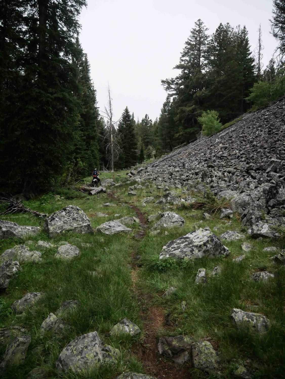
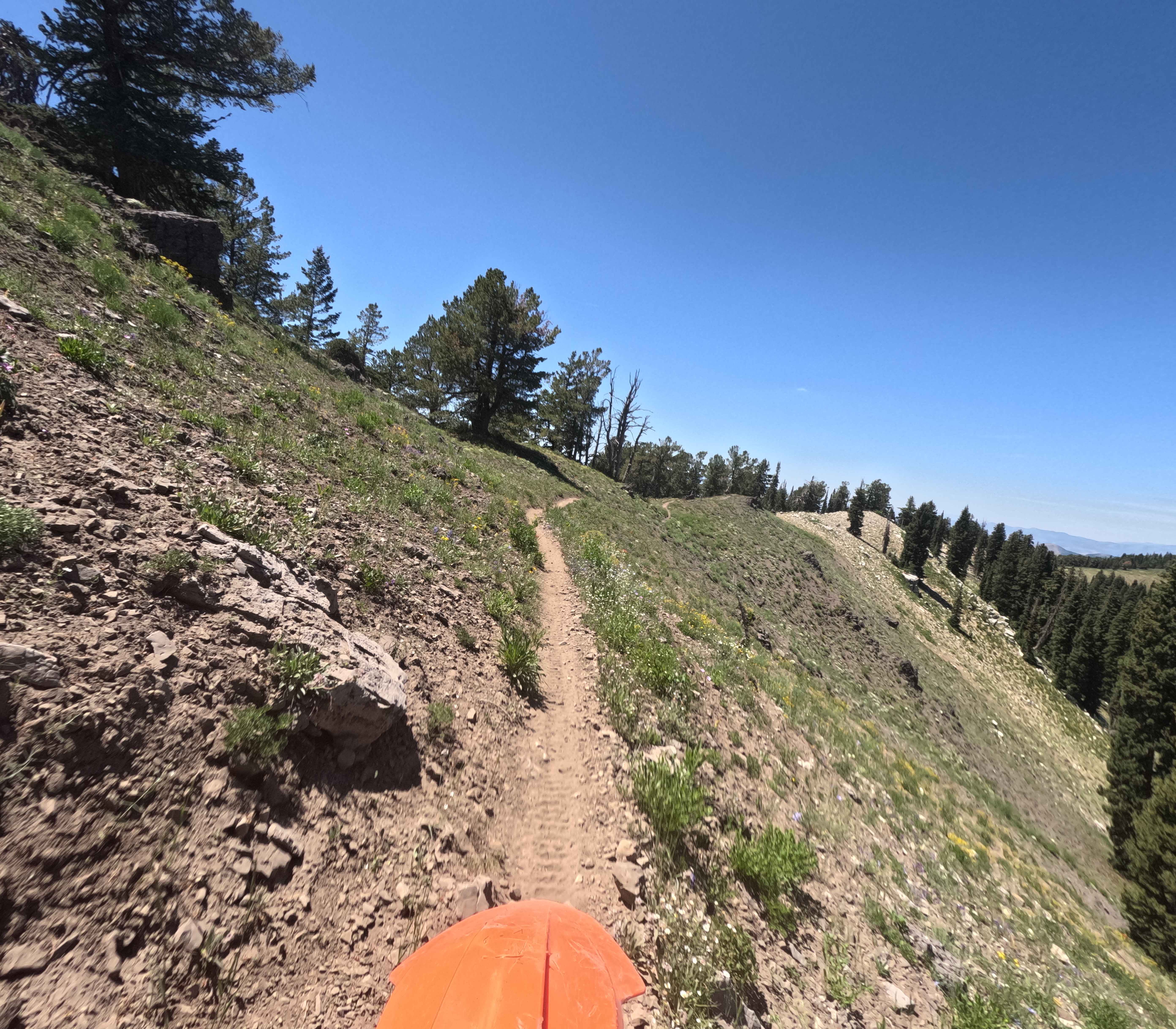
Trail Creek is accessed from the Big Timber Creek Trail on the north end. It starts with a couple of big water crossings that aren't too difficult, but with rocky bottoms and about a foot of water in the summertime. The trail then winds through big open meadows filled with sagebrush on a narrow, flowy, and fast singletrack. After that, it enters the trees where the terrain gets more technical, with big rocks, roots, ruts, mud, and holes throughout. At one point, the trail goes directly up a stream, riding over slick, rocky sections covered in water. There are several more easy water crossings throughout the rest of the route as well. It also crosses the base of a scree field where large boulders line the trail or spill over into the route. There's always potential for downed logs, but this is a fairly popular trail, so most of them get cut. There's a shelfy sidehill section above the creek with moderate exposure. In the middle of the trail are longer, easier meadow sections that give riders a break from the technical riding. Near the south end the trail has a long, steep climb that is a moderate challenge but can become more difficult when wet. The trail finishes with a climb up to a saddle at the intersection with Snow Bank Trail, with incredible views of the surrounding Lemhi Mountains.
Photos of Trail Creek

Difficulty
This is an intermediate trail due to the combination of water crossings, exposed side-hilling, and embedded technical features in the forest, such as rocks and roots. While not extreme, the water obstacles and changing terrain demand consistent attention and moderate skill, especially during wet conditions.
Status Reports
Trail Creek can be accessed by the following ride types:
- Dirt Bike
Trail Creek Map
Popular Trails

Solitaire Creek / Sob Creek 4WD

Stoddard Creek to Indian Creek Butte
Highline Singletrack
Pilot Peak/Summit Flat 380
The onX Offroad Difference
onX Offroad combines trail photos, descriptions, difficulty ratings, width restrictions, seasonality, and more in a user-friendly interface. Available on all devices, with offline access and full compatibility with CarPlay and Android Auto. Discover what you’re missing today!