South Sulphur Canyon #5238
Total Miles
1.5
Technical Rating
Best Time
Summer, Fall
Trail Type
50" Trail
Accessible By
Trail Overview
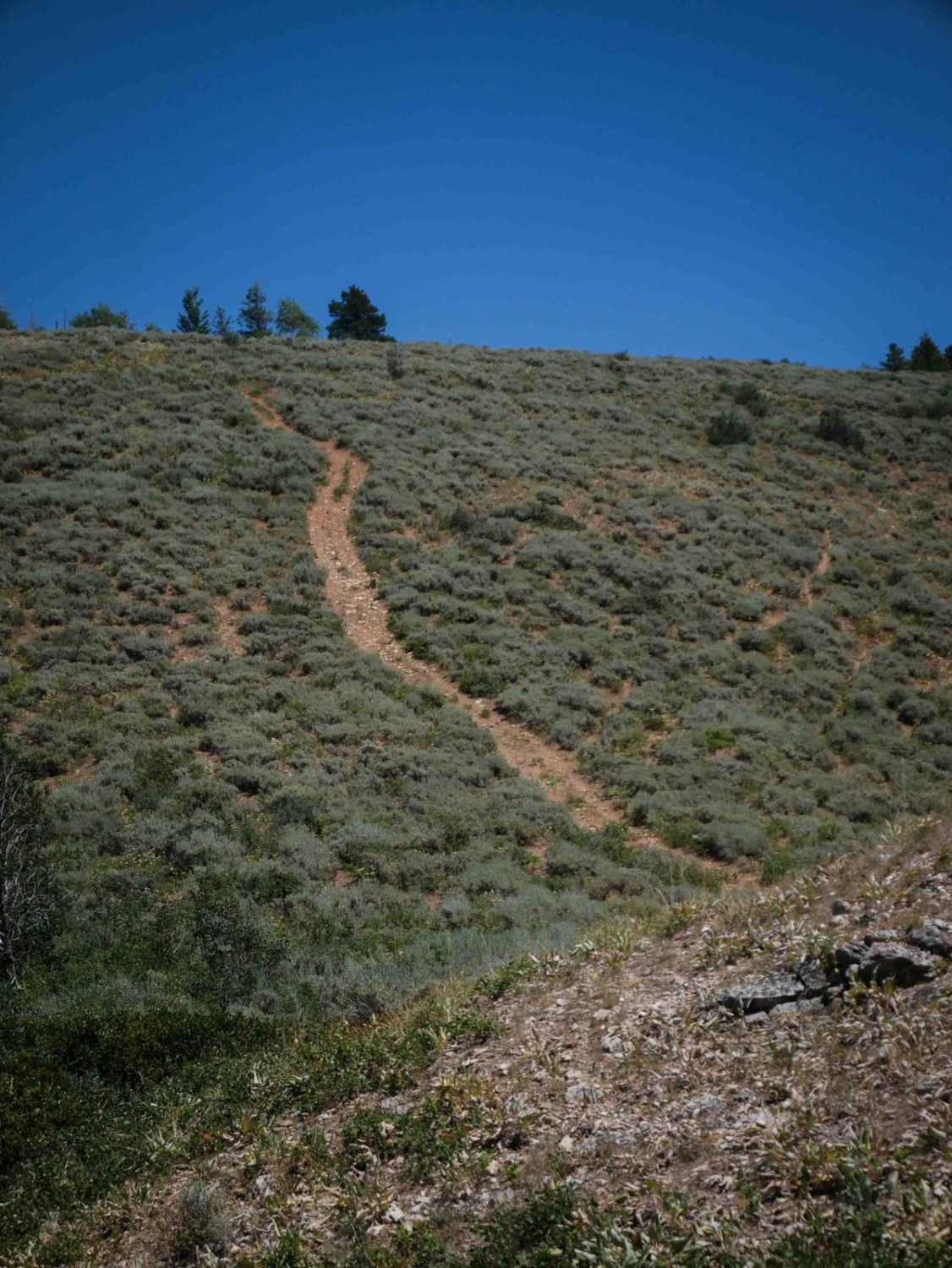
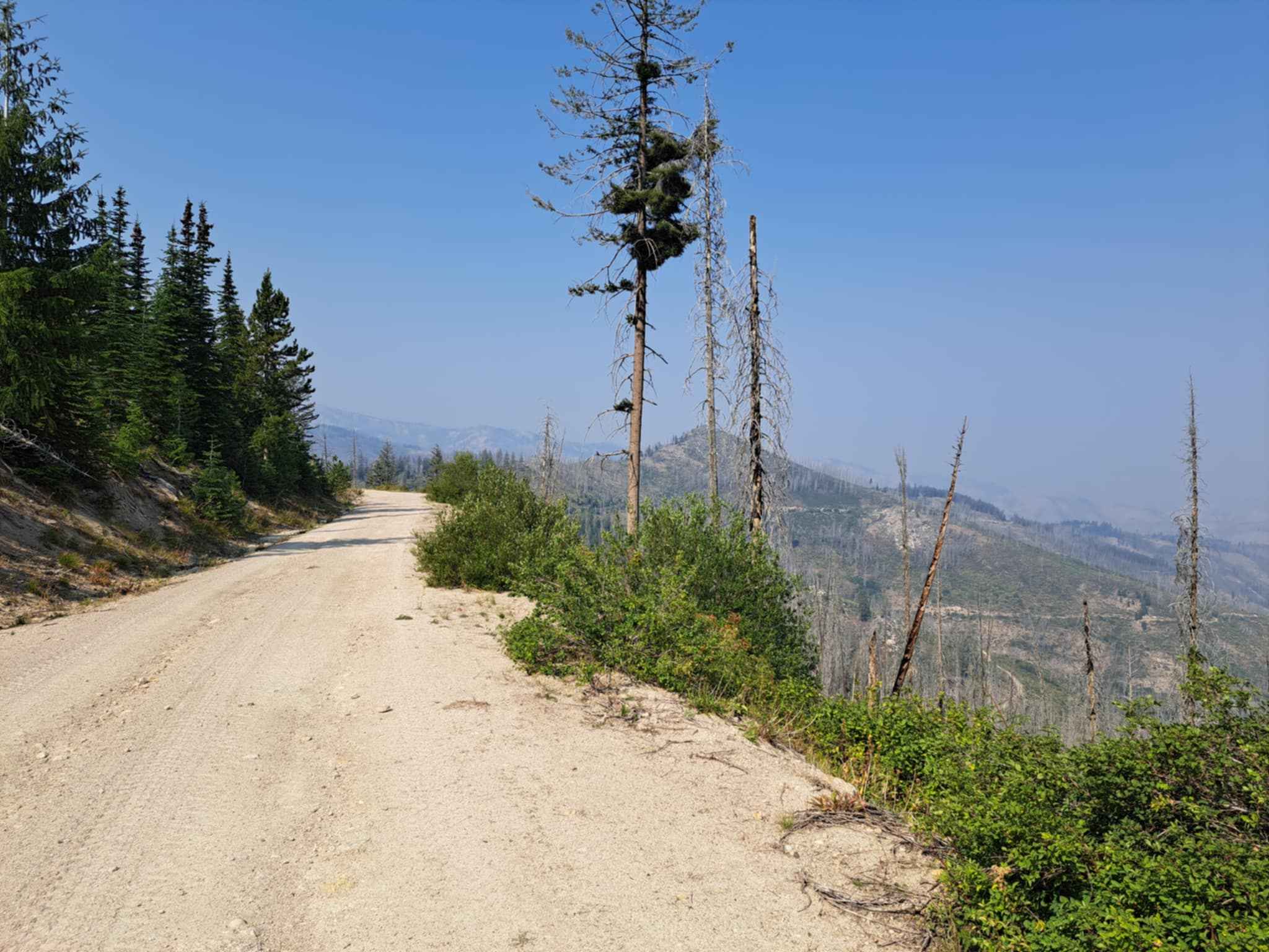
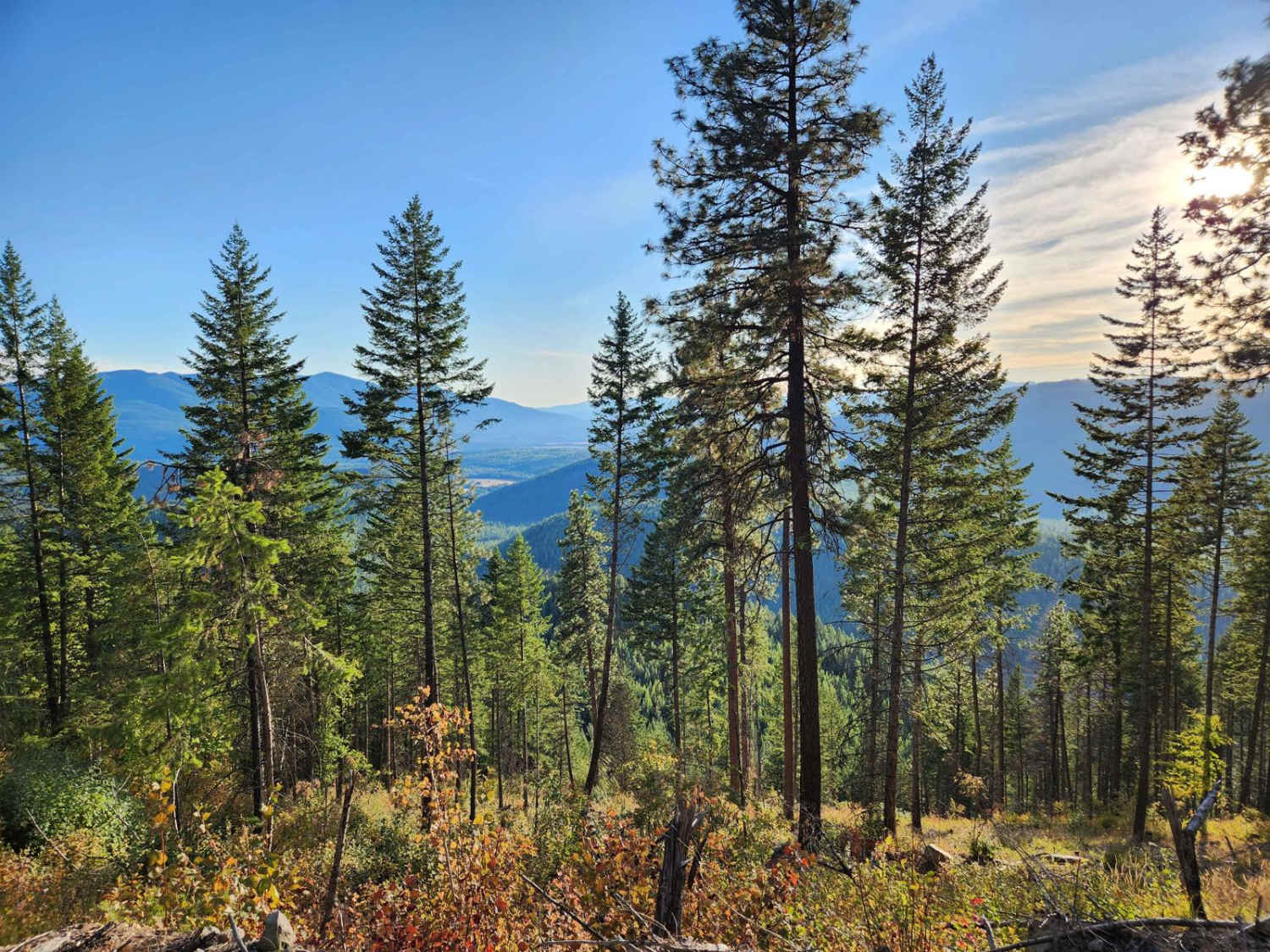
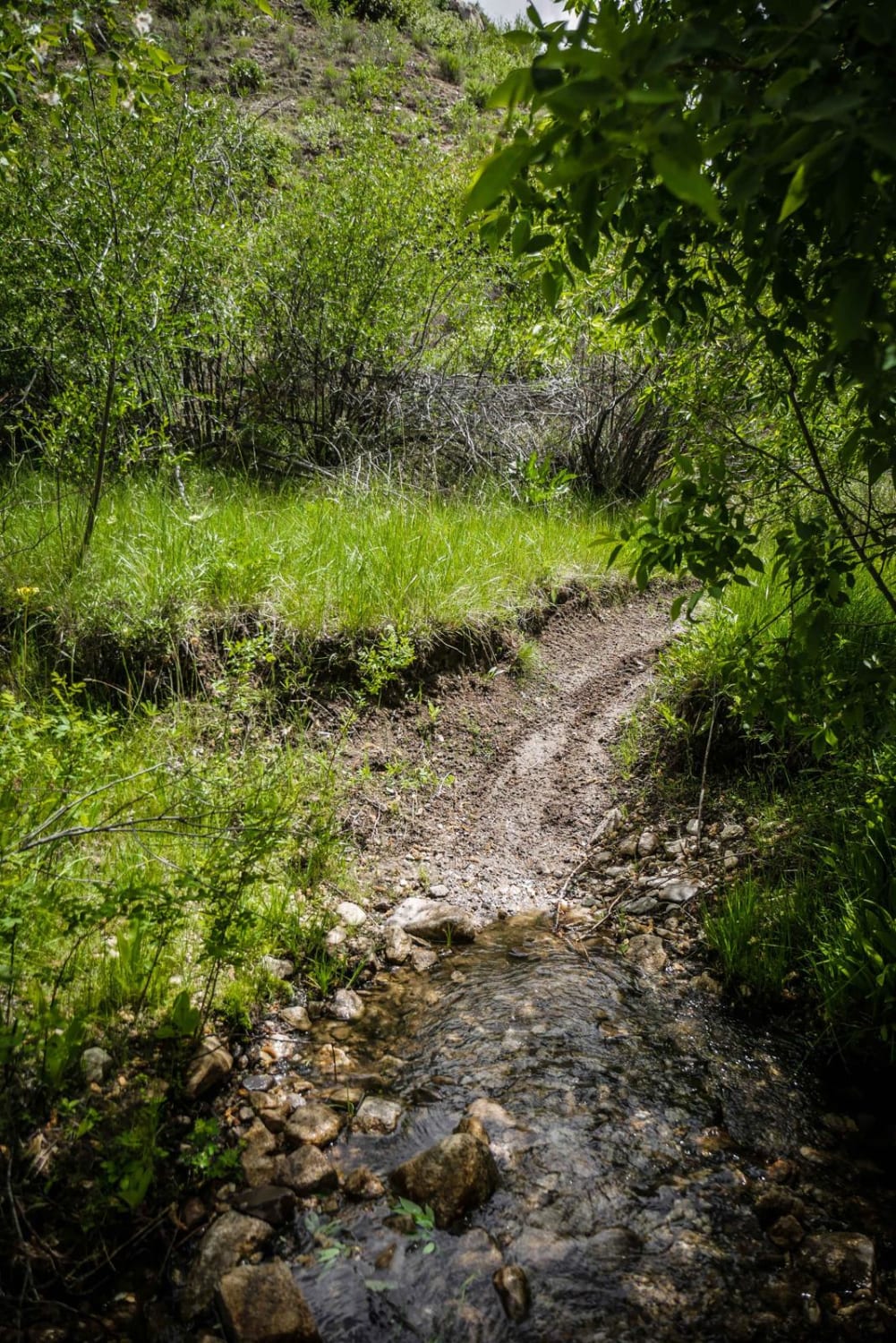
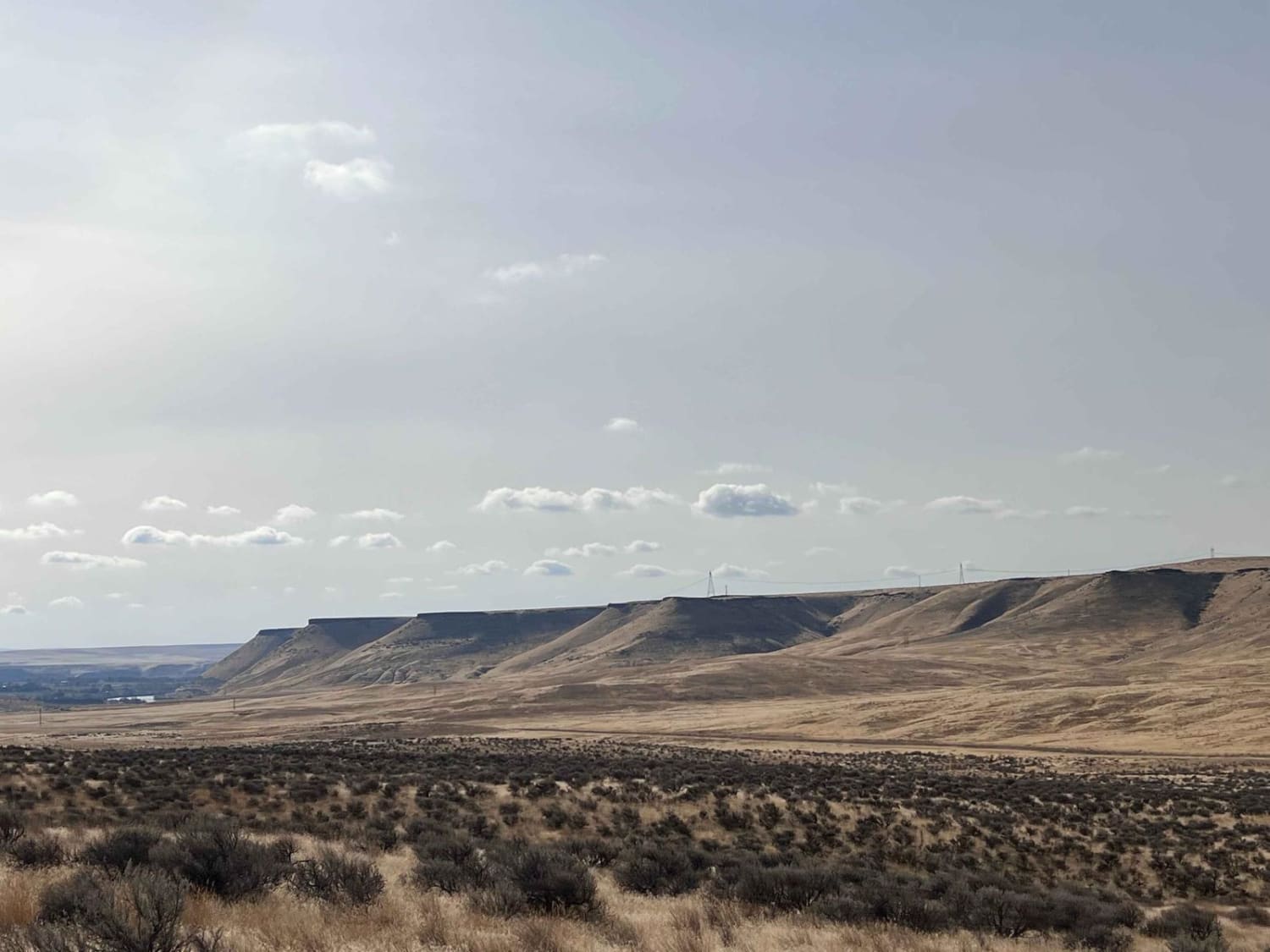
South Sulphur Canyon #5238 is an intermediate 1.5-mile-long ATV trail that begins just beyond a few dispersed campsites off of Sulphur Canyon Road #50126. Although lacking a trail sign at the beginning, the route is easy to follow, but has one unmarked intersection with the South Sulfur Spur, where it turns south, dips down into a ravine, and begins a steep ascent. The trail is narrow and overgrown in places, with bushy vegetation creating a tighter feel. Shallow ruts, small loose rocks, and cut logs with stick debris are scattered throughout the climb, along with some tight turns and a continuous uphill grade. About a mile in, the trail crests at a saddle with a sweeping view of the valley below. From there, it turns east and takes on a more technical character, with a very steep hill climb covered in loose rock, loose dirt, and embedded rock ledges. The key is to maintain momentum on this claim, or else you'll lose traction. The trail continues to a ridgeline still coated in loose rock and crosses sagebrush-covered hillsides that remain steep but are slightly less loose. The 50-inch ATV designation ends where the trail enters private property and transitions into a road that connects to South Sulphur Road #50177.
Photos of South Sulphur Canyon #5238

Difficulty
This is a more difficult trail due to its sustained steep climbs, loose surface, embedded ledges, and tighter overgrown sections. The final ascent in particular poses a significant challenge, especially where traction is limited.
Status Reports
South Sulphur Canyon #5238 can be accessed by the following ride types:
- ATV (50")
- Dirt Bike
South Sulphur Canyon #5238 Map
Popular Trails
Roaring River Road - FS 255
The onX Offroad Difference
onX Offroad combines trail photos, descriptions, difficulty ratings, width restrictions, seasonality, and more in a user-friendly interface. Available on all devices, with offline access and full compatibility with CarPlay and Android Auto. Discover what you’re missing today!