South Curlew Connector
Total Miles
3.0
Technical Rating
Best Time
Spring, Fall
Trail Type
Full-Width Road
Accessible By
Trail Overview
The Curlew Connector starts at the Canyon County entrance to the BLM Long-billed Curlew Habitat Area, leading 1.2 miles north into Gem County and continuing for another 1.8 miles until it connects into BLM #2333. This clearly established, winding road is perfect for beginners in any of the off-road vehicle types and offers terrain that is both challenging yet forgiving for the new enthusiast. The road begins as two parallel entrances that converge into a single-lane dirt road. The official road is on the right side of the BLM sign. The first 0.25 mile of the road contains deep ruts, which require careful attention and a 4x4, SxS, ATV, or dirt bike to traverse. Once past the rutted section, the road turns into a nicely packed, high-desert, single-lane dirt road that winds through the low hills. There are small hills, 12 to 18-inch deep holes, slight off-camber sections, and long ruts that must be navigated along the route. Soil: The soil in this area can be dusty in the dry summer and very slippery when wet. When wet, the road is easily damaged, creating deep ruts. Please allow the road to dry out after a heavy rain. Stay on the road as high-desert sagebrush and grasslands take many years to establish and can be damaged by driving off established roads. Wildlife: The Long-billed Curlew is considered the largest shorebird in North America and nests in Idaho from March through August. Nests are camouflaged in the grass, so remain on the established roads. If you do see a curlew, consider yourself very lucky and do not disturb it or its nesting area. Other wildlife in the area includes rabbits, foxes, owls, deer, badgers, groundhogs, and coyotes. Multi-Use Area: This BLM area is a multi-use zone. Hunting and target-shooting activities may be in progress along the route, so pay attention and don't ride or drive downrange of a target-shooting activity.
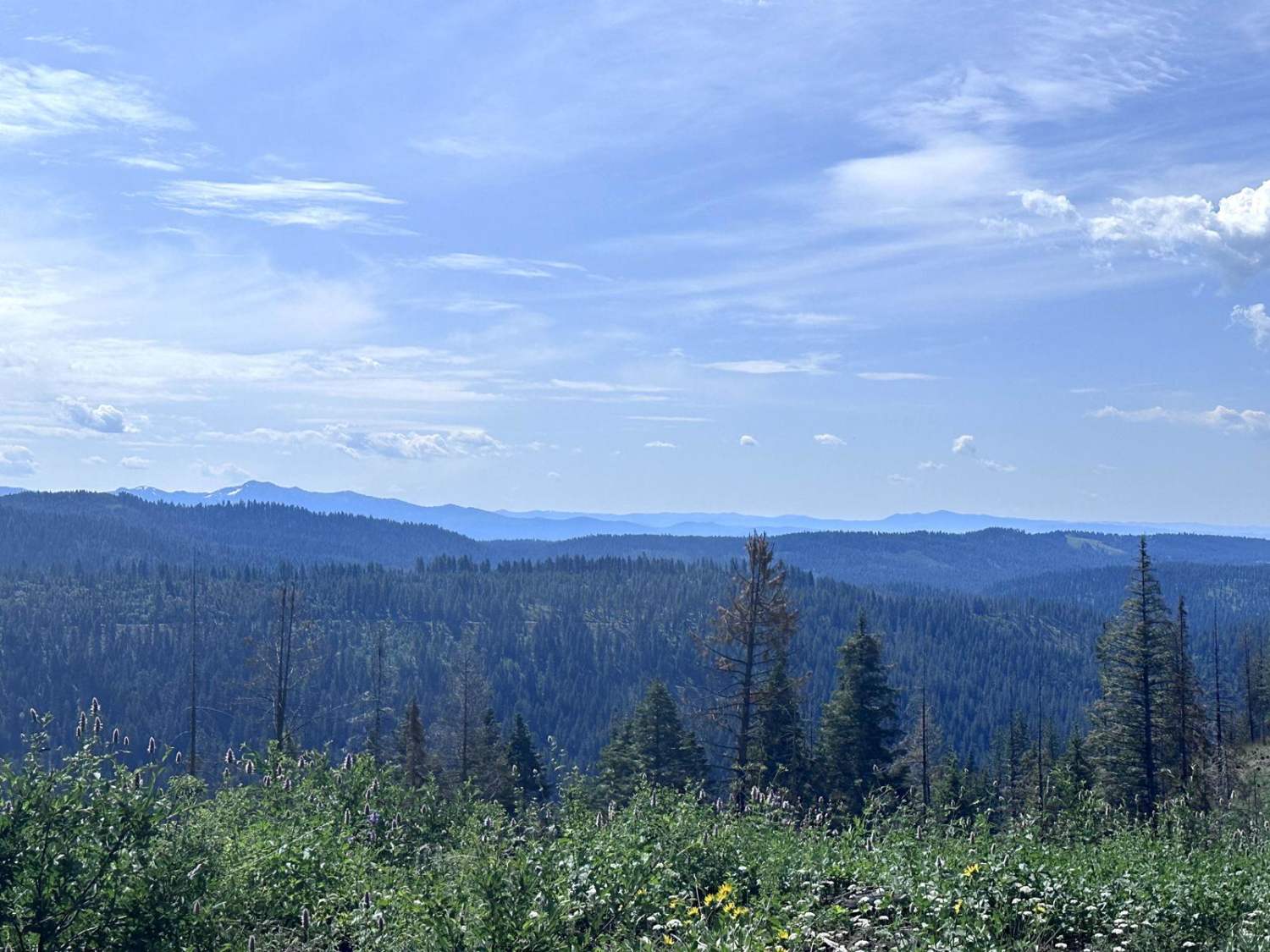
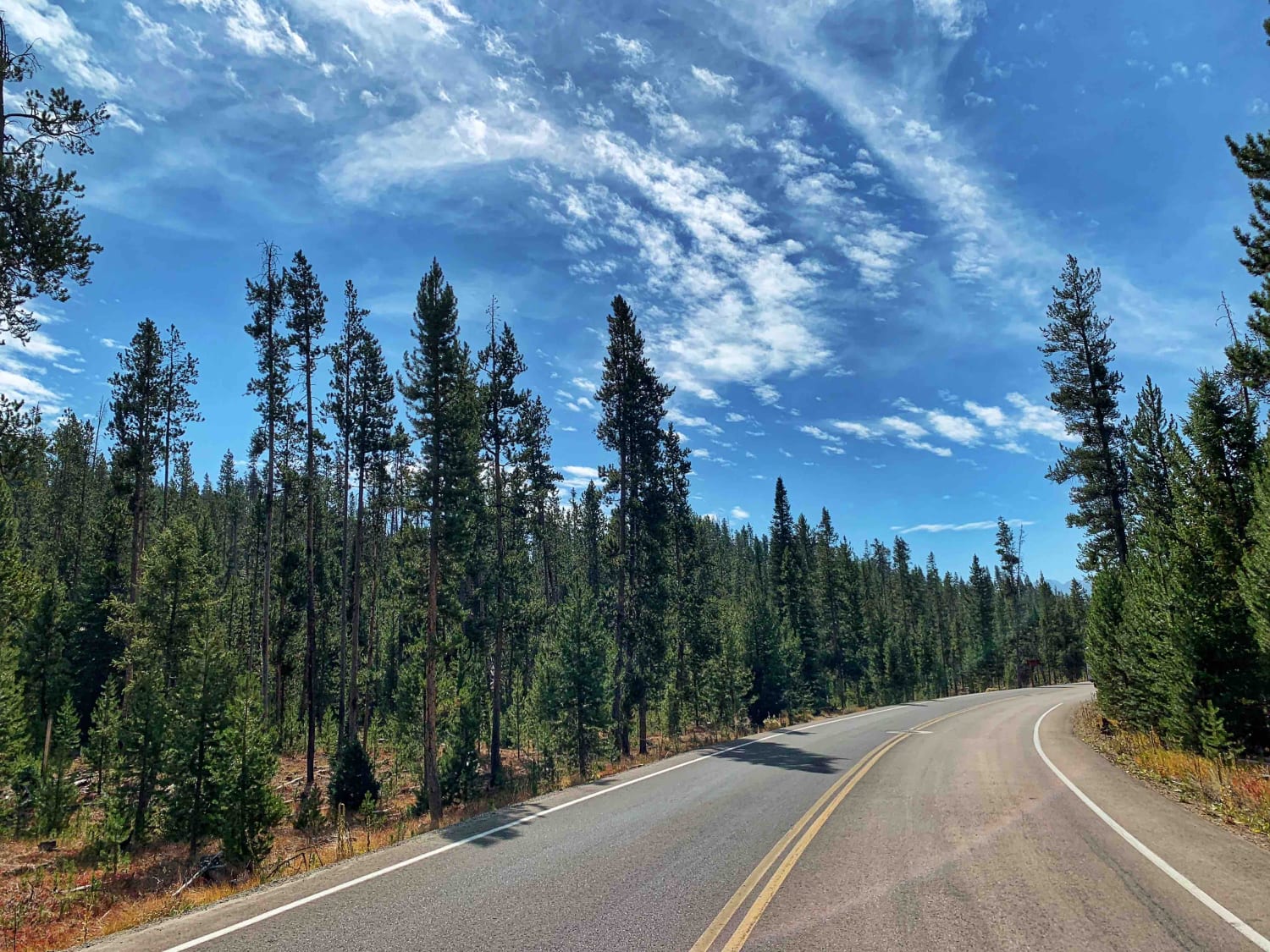
Photos of South Curlew Connector


Difficulty
This is a classic high-desert, single-lane dirt road with long ruts, 12 to 18-inch deep holes, low hills, and wide curves. You may encounter ruts or holes that are dry, muddy, or filled with water. During the dry season, significant dust can be expected if you or another adventurer is driving too fast.
Status Reports
South Curlew Connector can be accessed by the following ride types:
- High-Clearance 4x4
- SUV
- SxS (60")
- ATV (50")
- Dirt Bike
South Curlew Connector Map
Popular Trails
Meadows Goose Lake
Redfish and Little Redfish Lakes

Twin Peaks Lookout Tower

Reese Creek Road
The onX Offroad Difference
onX Offroad combines trail photos, descriptions, difficulty ratings, width restrictions, seasonality, and more in a user-friendly interface. Available on all devices, with offline access and full compatibility with CarPlay and Android Auto. Discover what you’re missing today!