South Fork River Road
Total Miles
30.1
Technical Rating
Best Time
Spring, Summer, Fall
Trail Type
Full-Width Road
Accessible By
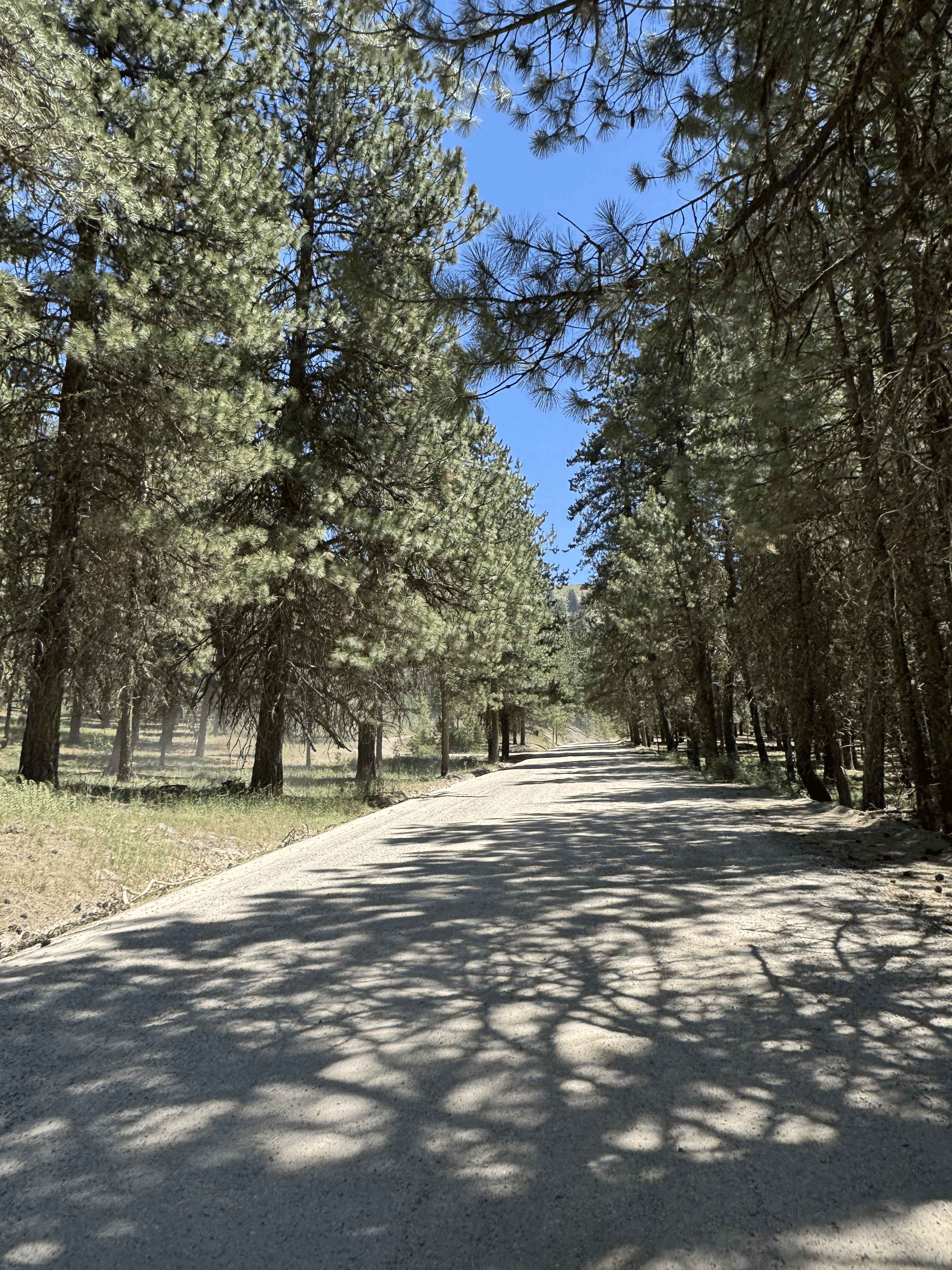
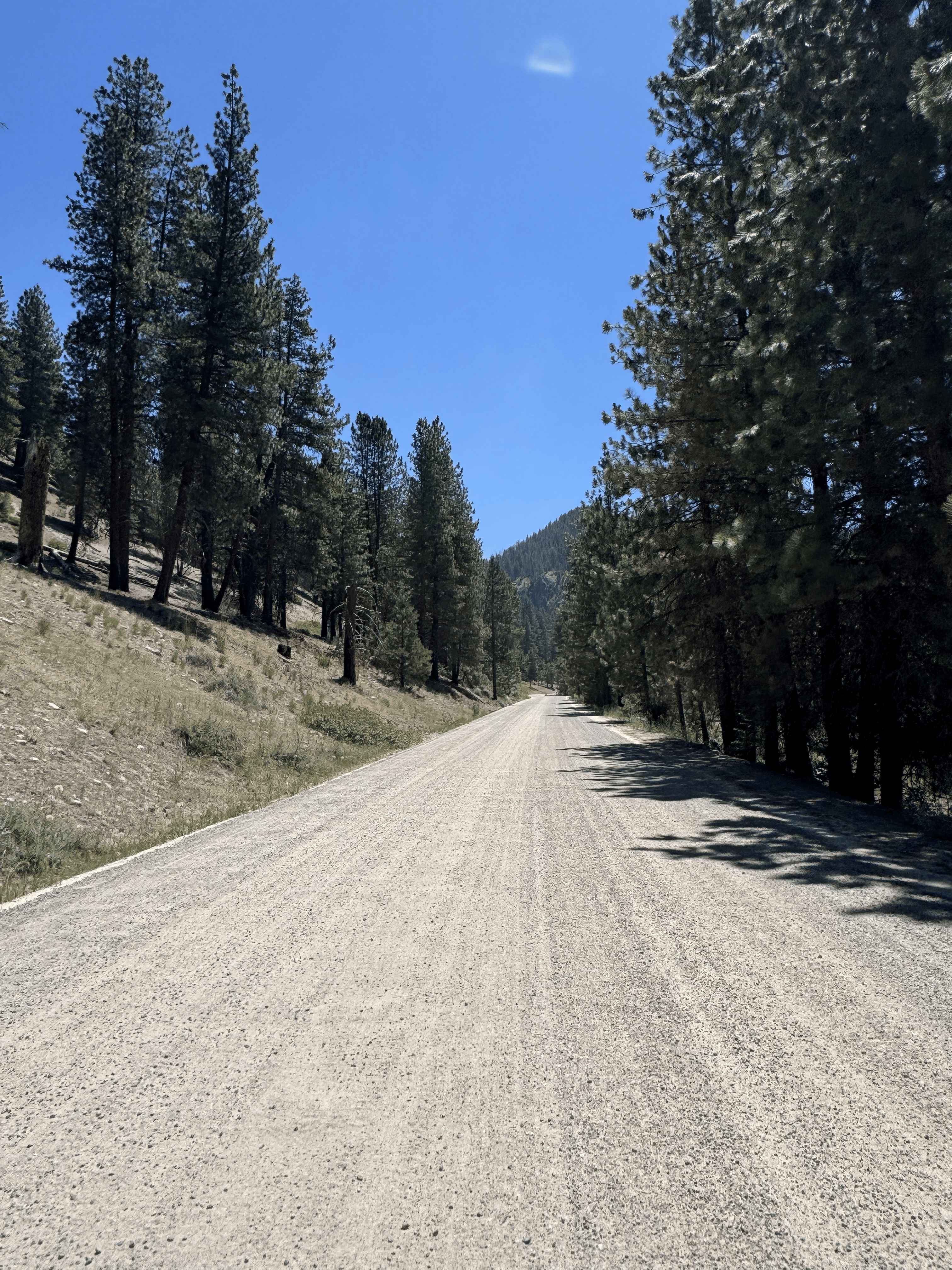
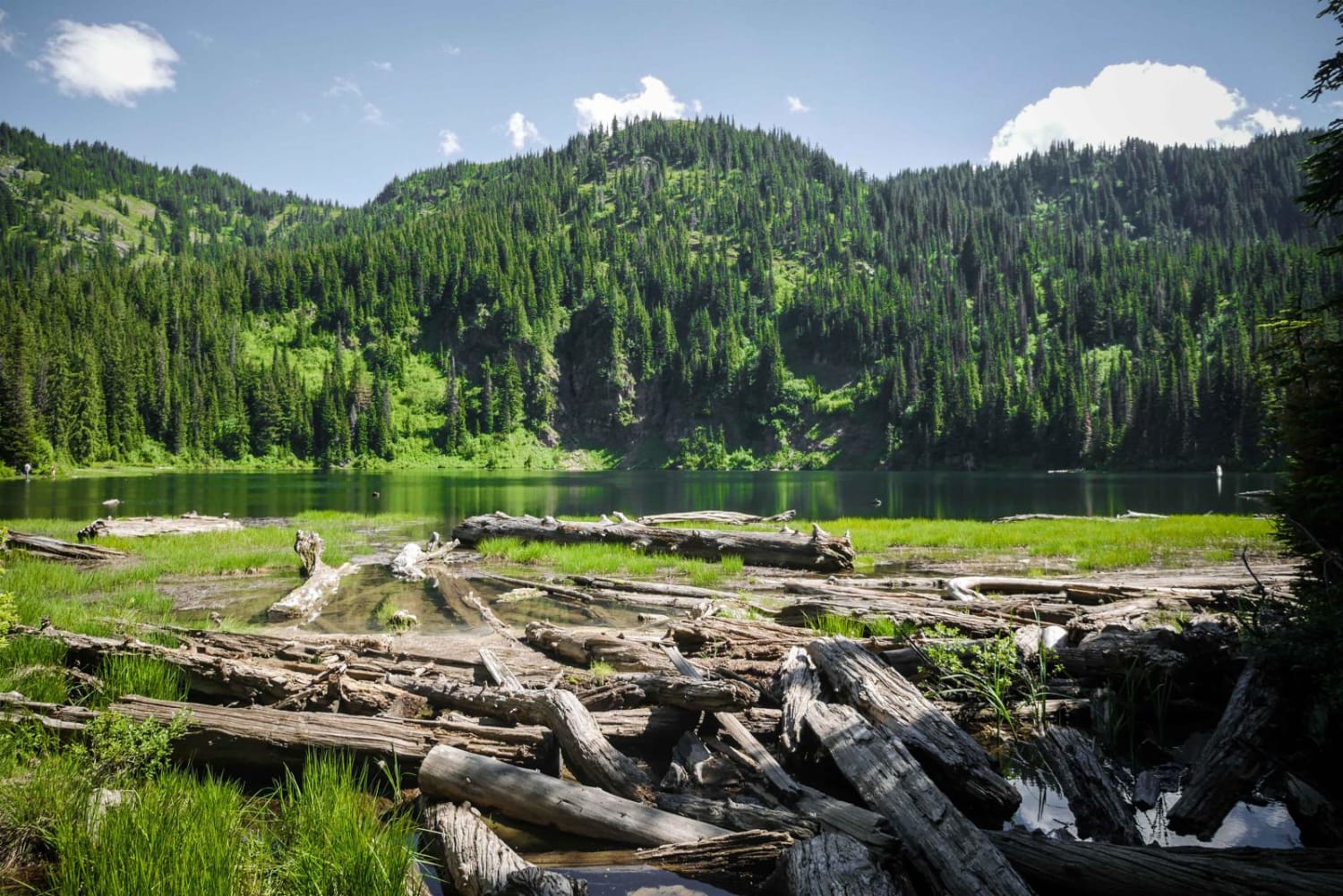
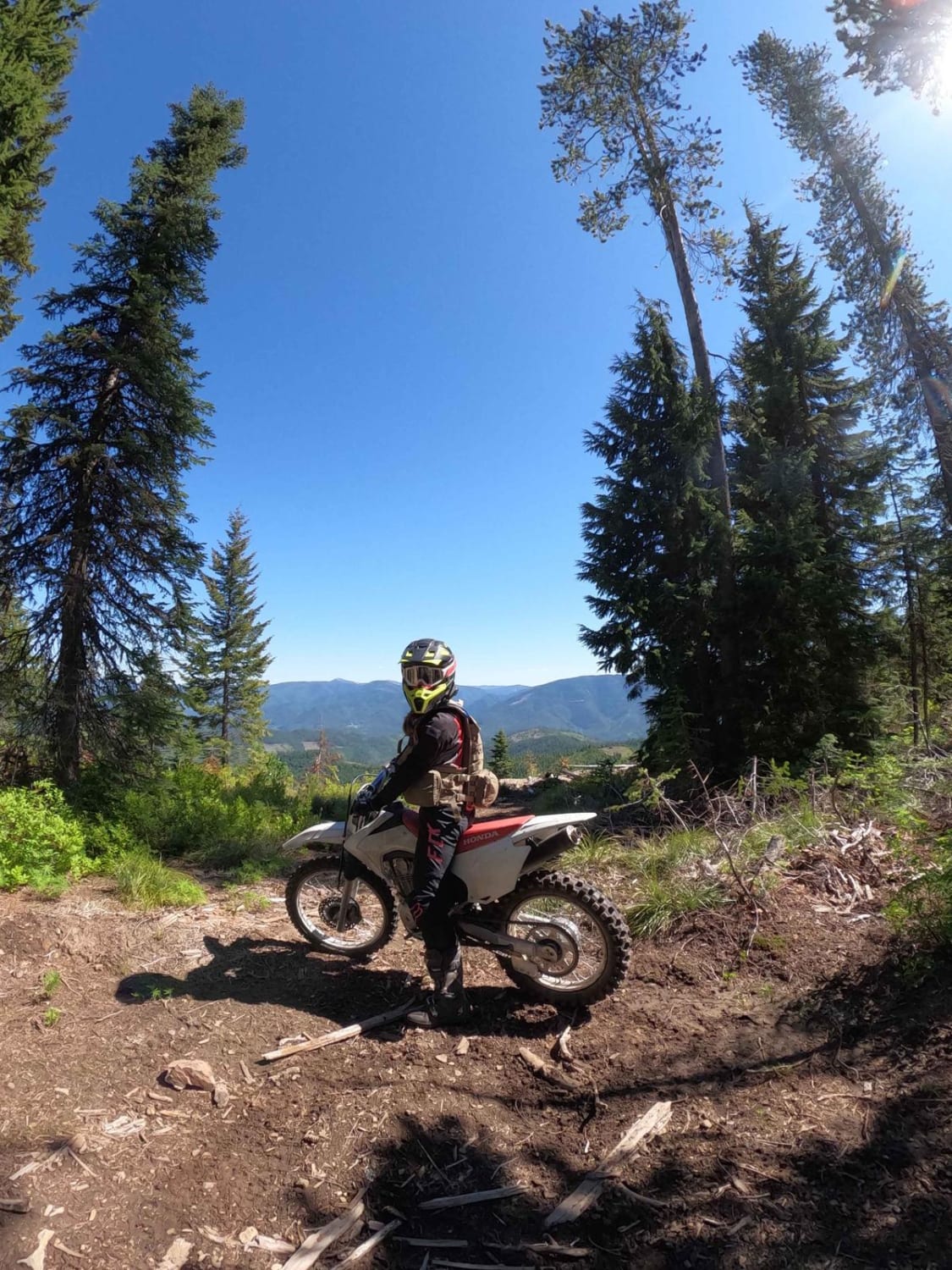
Trail Overview
Enjoy an easy, scenic drive along the South Fork of the Boise River. Dart in and out of shaded pine groves, narrow rocky sections right next to the flowing river, and even pass some hot springs. Views are everywhere, wildlife is plentiful, trails are around almost every corner, and many dispersed and established campgrounds to relax and enjoy. Stop by the Smoky Bar store for some supplies, good food, and ice cream bars on a hot summer day.
Photos of South Fork River Road
Difficulty
This is a very well-maintained road that is wide and graded through most sections. Some areas narrow slightly and contain small protruding rocks on the surface. It can become washboarded toward the end of the summer camping season, with a few one-lane bridges and blind corners along the way. Overall, it is easy to navigate and suitable for most vehicles, with minimal challenges.
Status Reports
South Fork River Road can be accessed by the following ride types:
- High-Clearance 4x4
- SUV
- SxS (60")
- ATV (50")
- Dirt Bike
South Fork River Road Map
Popular Trails
Lake Elsie Ridge ATV

North Sulphur Canyon #5245

East Fork Rd - Perkins-Morris Grove
The onX Offroad Difference
onX Offroad combines trail photos, descriptions, difficulty ratings, width restrictions, seasonality, and more in a user-friendly interface. Available on all devices, with offline access and full compatibility with CarPlay and Android Auto. Discover what you’re missing today!