Off-Road Trails in California
Discover off-road trails in California
Learn more about Pettit - FS 26S37
Pettit - FS 26S37
Total Miles
6.1
Tech Rating
Easy
Best Time
Fall, Summer, Spring
Learn more about Phillips Loop
Phillips Loop
Total Miles
4.6
Tech Rating
Moderate
Best Time
Winter, Spring, Summer, Fall
Learn more about Picacho State Park Trail
Picacho State Park Trail
Total Miles
14.7
Tech Rating
Easy
Best Time
Spring, Summer, Fall, Winter
Learn more about Pichacho Peak Circle
Pichacho Peak Circle
Total Miles
12.9
Tech Rating
Moderate
Best Time
Spring, Summer, Fall, Winter
Learn more about Pickett Peak Road 31053
Pickett Peak Road 31053
Total Miles
5.5
Tech Rating
Moderate
Best Time
Summer, Fall
Learn more about Picnic Grounds Road
Picnic Grounds Road
Total Miles
4.2
Tech Rating
Moderate
Best Time
Summer, Fall
Learn more about Pierce Mill - FS 7S68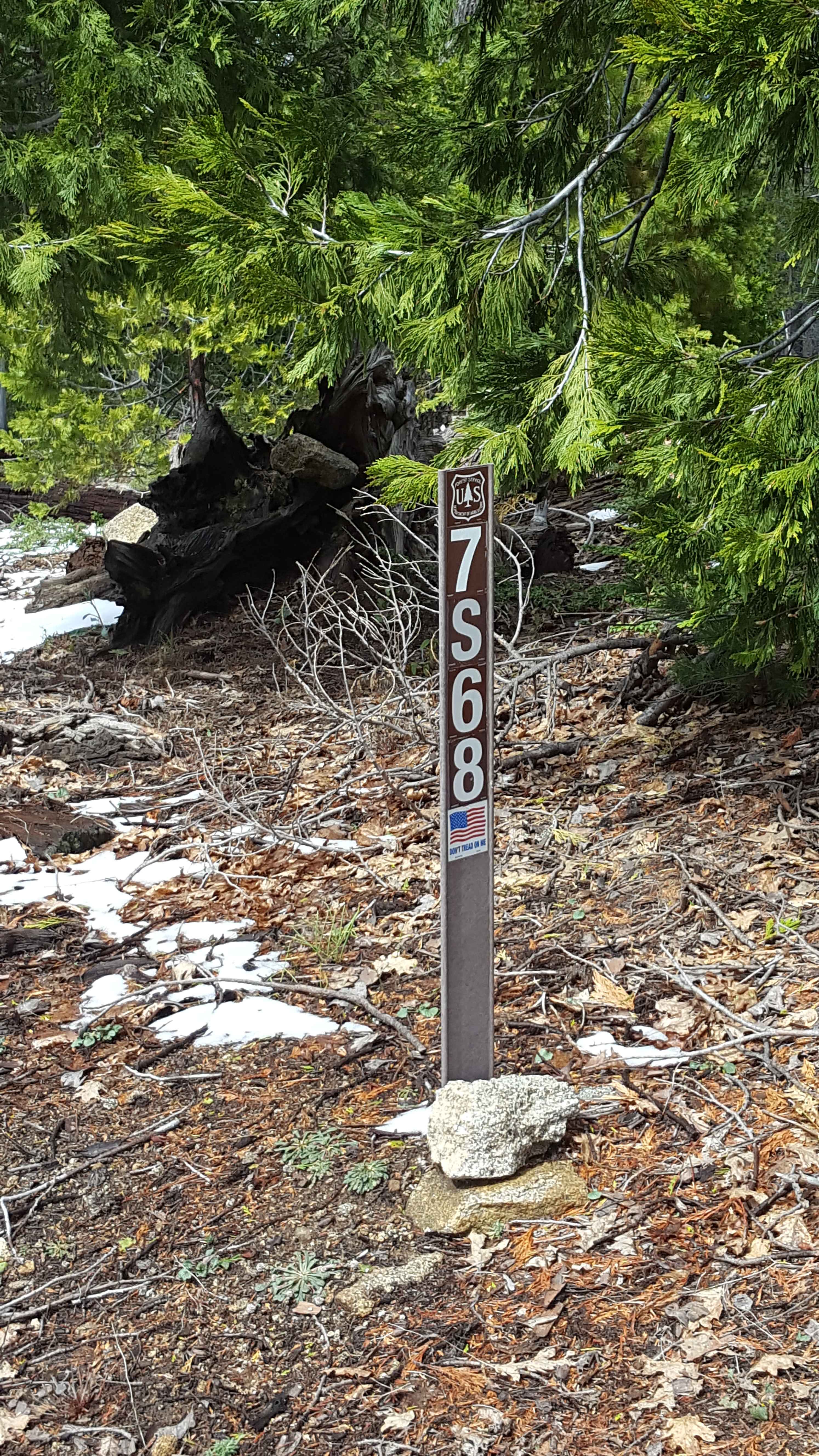
Pierce Mill - FS 7S68
Total Miles
3.1
Tech Rating
Easy
Best Time
Spring, Summer, Fall
Learn more about Pile Up Trail
Pile Up Trail
Total Miles
0.6
Tech Rating
Easy
Best Time
Spring, Summer, Fall, Winter
Learn more about Pillsbury-Indian Dick Road
Pillsbury-Indian Dick Road
Total Miles
50.5
Tech Rating
Easy
Best Time
Spring, Summer, Fall
Learn more about Pilot Cutoff - FS 6S063A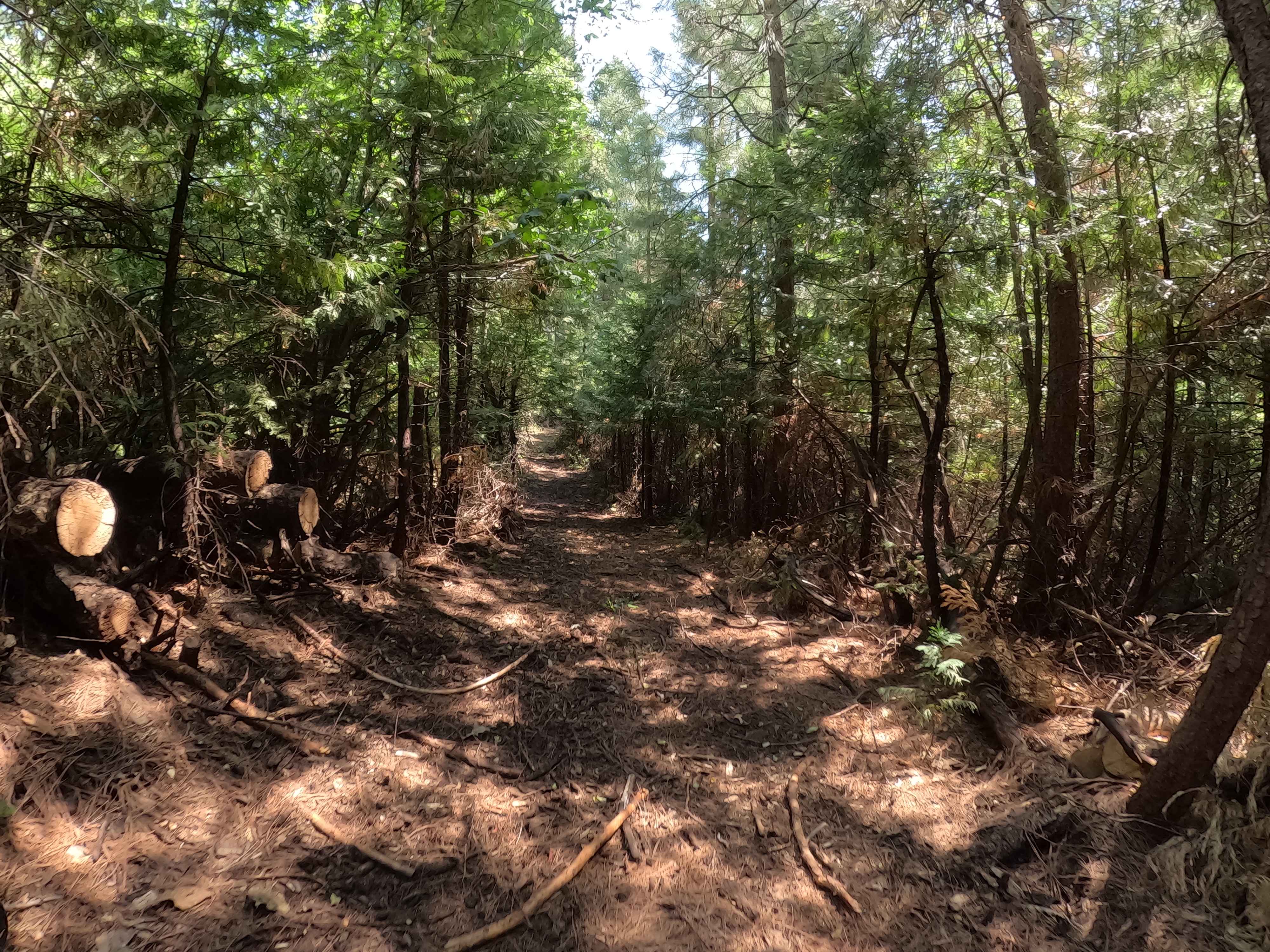
Pilot Cutoff - FS 6S063A
Total Miles
0.2
Tech Rating
Easy
Best Time
Spring, Summer, Fall
Learn more about Pilot Fuelbreak OHV to Pilot Rock Trail
Pilot Fuelbreak OHV to Pilot Rock Trail
Total Miles
3.3
Tech Rating
Difficult
Best Time
Spring, Fall, Winter
Learn more about Pilot Grove - FS 16N01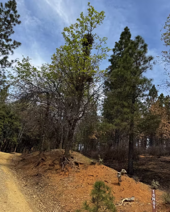
Pilot Grove - FS 16N01
Total Miles
3.7
Tech Rating
Easy
Best Time
Spring, Summer, Fall
Learn more about Pilot Peak - Lower - FS 5S012
Pilot Peak - Lower - FS 5S012
Total Miles
2.2
Tech Rating
Easy
Best Time
Summer, Fall
Learn more about Pilot Ridge - FS 1S14
Pilot Ridge - FS 1S14
Total Miles
5.8
Tech Rating
Easy
Best Time
Fall, Summer, Spring
Learn more about Pilot Rock OHV
Pilot Rock OHV
Total Miles
6.1
Tech Rating
Easy
Best Time
Spring, Summer, Fall, Winter
Learn more about Pilot Rock Road
Pilot Rock Road
Total Miles
8.8
Tech Rating
Easy
Best Time
Winter, Spring, Summer, Fall
ATV trails in California


UTV/side-by-side trails in California


Learn more about 3N267 Fenner Saddle (4N12)
3N267 Fenner Saddle (4N12)
Total Miles
3.8
Tech Rating
Difficult
Best Time
Spring, Summer, Fall, Winter

The onX Offroad Difference
onX Offroad combines trail photos, descriptions, difficulty ratings, width restrictions, seasonality, and more in a user-friendly interface. Available on all devices, with offline access and full compatibility with CarPlay and Android Auto. Discover what you’re missing today!