Off-Road Trails in California
Discover off-road trails in California
Learn more about Panum Crater Pit - FS 1N30
Panum Crater Pit - FS 1N30
Total Miles
1.7
Tech Rating
Easy
Best Time
Summer, Fall, Spring
Learn more about Panum Crater Road - FS 1S28
Panum Crater Road - FS 1S28
Total Miles
1.0
Tech Rating
Easy
Best Time
Summer, Fall, Spring
Learn more about Paper Cabin Ridge Trail
Paper Cabin Ridge Trail
Total Miles
15.7
Tech Rating
Moderate
Best Time
Spring, Winter, Summer
Learn more about Parachute Landing
Parachute Landing
Total Miles
4.7
Tech Rating
Easy
Best Time
Spring, Fall, Winter
Learn more about Pardoe Cutoff
Pardoe Cutoff
Total Miles
1.7
Tech Rating
Easy
Best Time
Spring, Summer, Fall
Learn more about Parker Forks - FS 22S18
Parker Forks - FS 22S18
Total Miles
1.1
Tech Rating
Easy
Best Time
Fall, Summer, Spring
Learn more about Parker Lake Bench
Parker Lake Bench
Total Miles
0.7
Tech Rating
Moderate
Best Time
Fall, Summer, Spring
Learn more about Parker Lake Road - NF1S25
Parker Lake Road - NF1S25
Total Miles
3.1
Tech Rating
Easy
Best Time
Summer, Fall
Learn more about Pasadena Mountain Express - Single Track
Pasadena Mountain Express - Single Track
Total Miles
4.3
Tech Rating
Difficult
Best Time
Spring, Summer, Fall, Winter
Learn more about Pass Spur Road - FS 3108B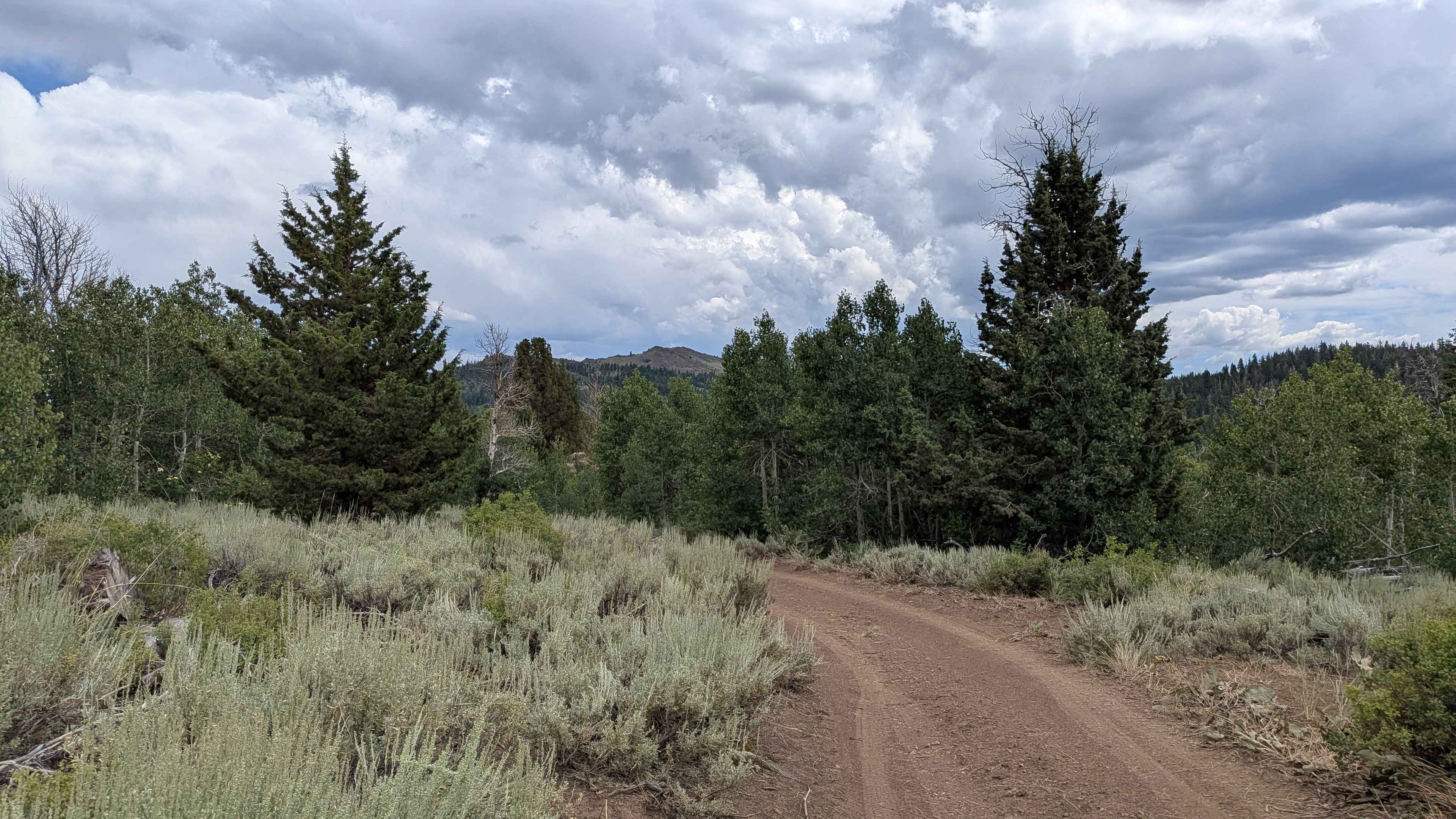
Pass Spur Road - FS 3108B
Total Miles
1.2
Tech Rating
Easy
Best Time
Summer, Fall
Learn more about Patriarch Grove
Patriarch Grove
Total Miles
1.0
Tech Rating
Easy
Best Time
Summer, Spring, Fall
Learn more about Patterson Lane - FS 26S34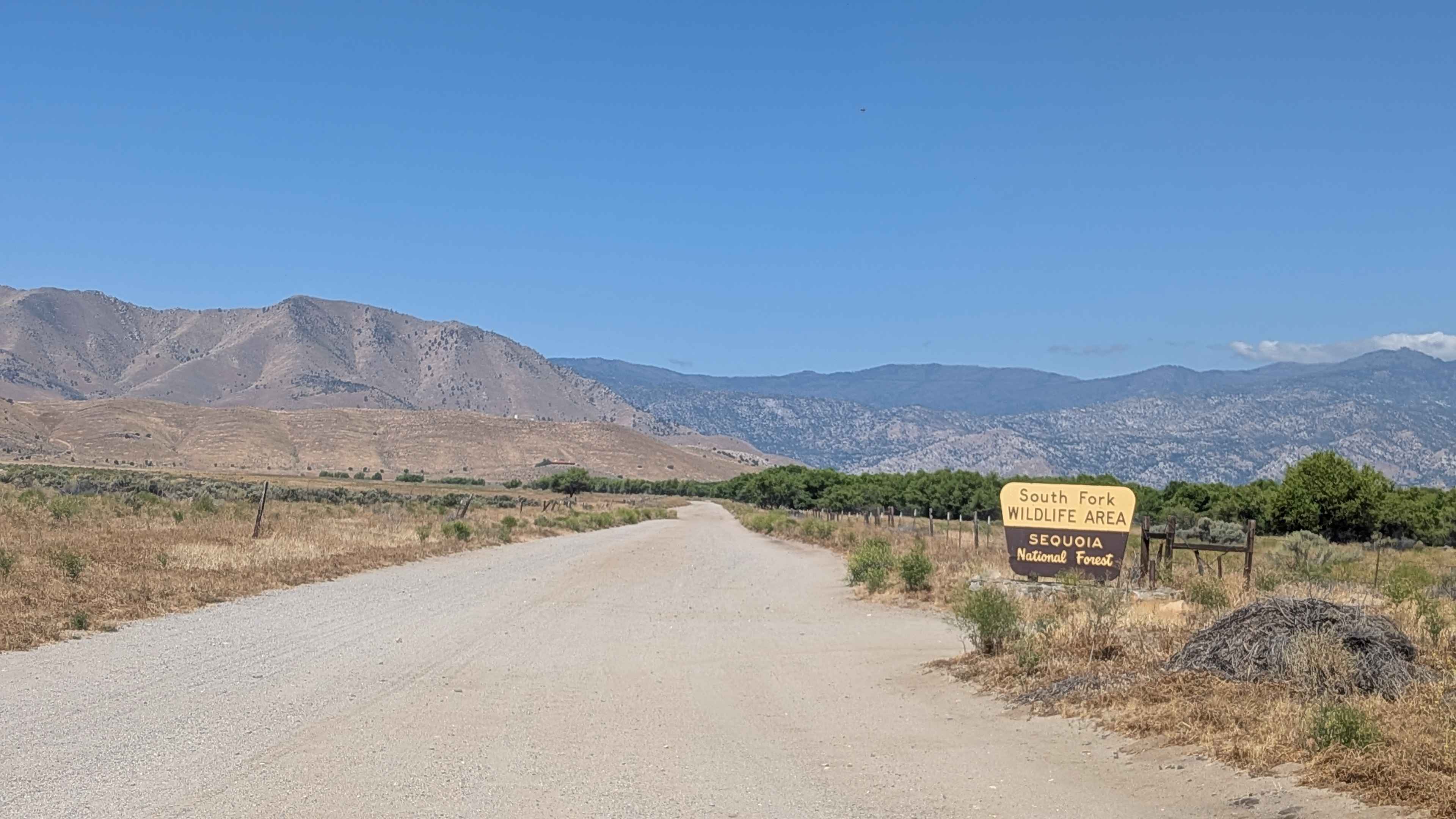
Patterson Lane - FS 26S34
Total Miles
0.8
Tech Rating
Easy
Best Time
Fall, Summer, Spring
Learn more about Patton Lode Mine
Patton Lode Mine
Total Miles
0.9
Tech Rating
Moderate
Best Time
Winter, Fall, Spring
Learn more about Patton's Cabin Road
Patton's Cabin Road
Total Miles
6.6
Tech Rating
Easy
Best Time
Winter, Fall, Spring
Learn more about Pauley Creek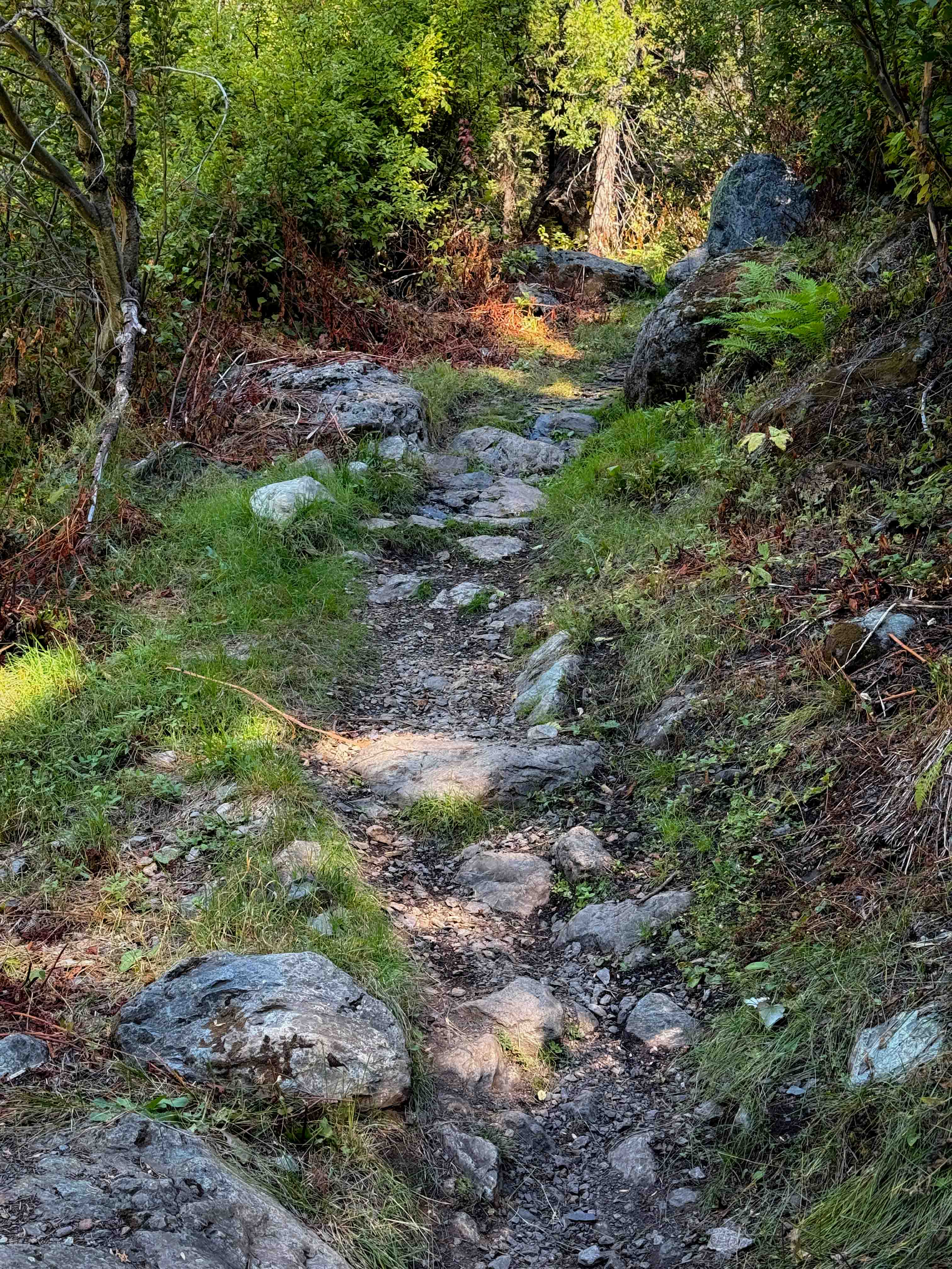
Pauley Creek
Total Miles
1.8
Tech Rating
Moderate
Best Time
Spring, Fall, Summer
Learn more about Peacemaker
Peacemaker
Total Miles
0.6
Tech Rating
Moderate
Best Time
Summer, Spring, Fall, Winter
Learn more about Peavine - FS 33
Peavine - FS 33
Total Miles
9.6
Tech Rating
Easy
Best Time
Spring, Summer, Fall, Winter
Learn more about Peckin - FS 23E232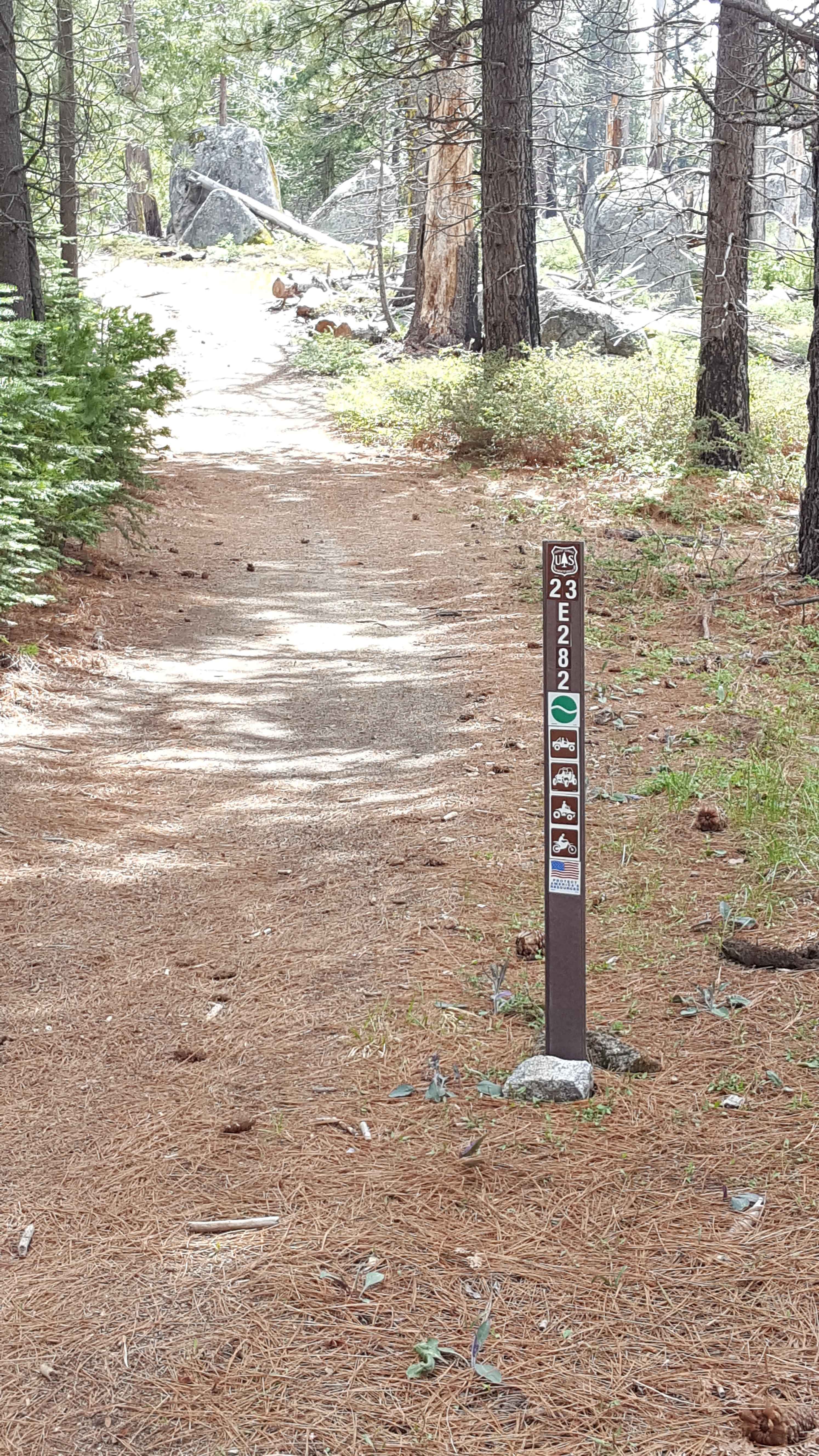
Peckin - FS 23E232
Total Miles
0.7
Tech Rating
Easy
Best Time
Spring, Summer, Fall
Learn more about Peckinpah Meadow - FS 8S26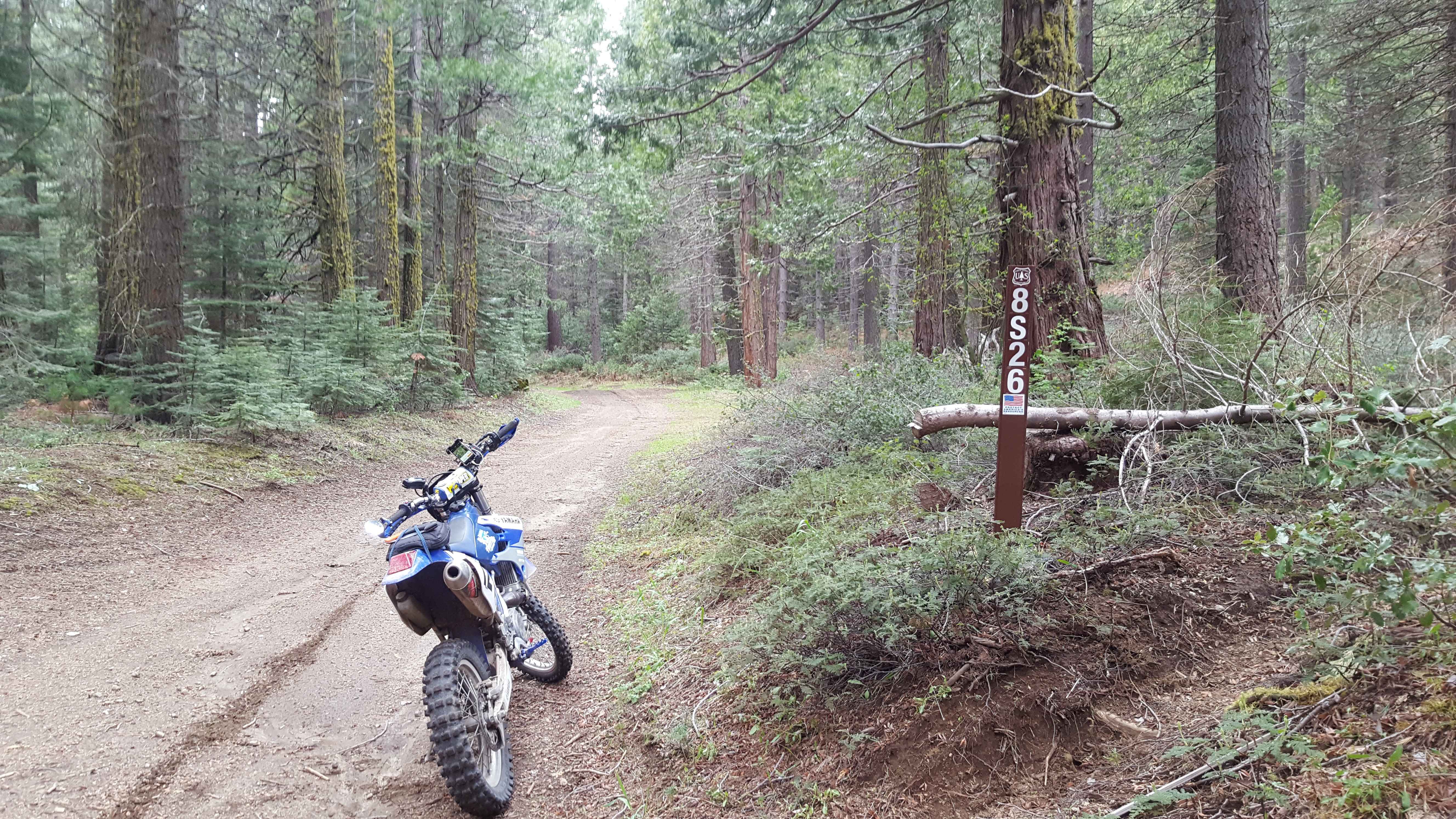
Peckinpah Meadow - FS 8S26
Total Miles
2.5
Tech Rating
Easy
Best Time
Spring, Summer, Fall
ATV trails in California


UTV/side-by-side trails in California


Learn more about 3N267 Fenner Saddle (4N12)
3N267 Fenner Saddle (4N12)
Total Miles
3.8
Tech Rating
Difficult
Best Time
Spring, Summer, Fall, Winter

The onX Offroad Difference
onX Offroad combines trail photos, descriptions, difficulty ratings, width restrictions, seasonality, and more in a user-friendly interface. Available on all devices, with offline access and full compatibility with CarPlay and Android Auto. Discover what you’re missing today!