Off-Road Trails in California
Discover off-road trails in California
Learn more about Quarry Road 6N19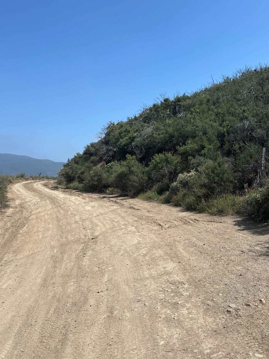
Quarry Road 6N19
Total Miles
2.3
Tech Rating
Moderate
Best Time
Spring, Summer, Fall
Learn more about Quartz Mountain - FS 5S040Y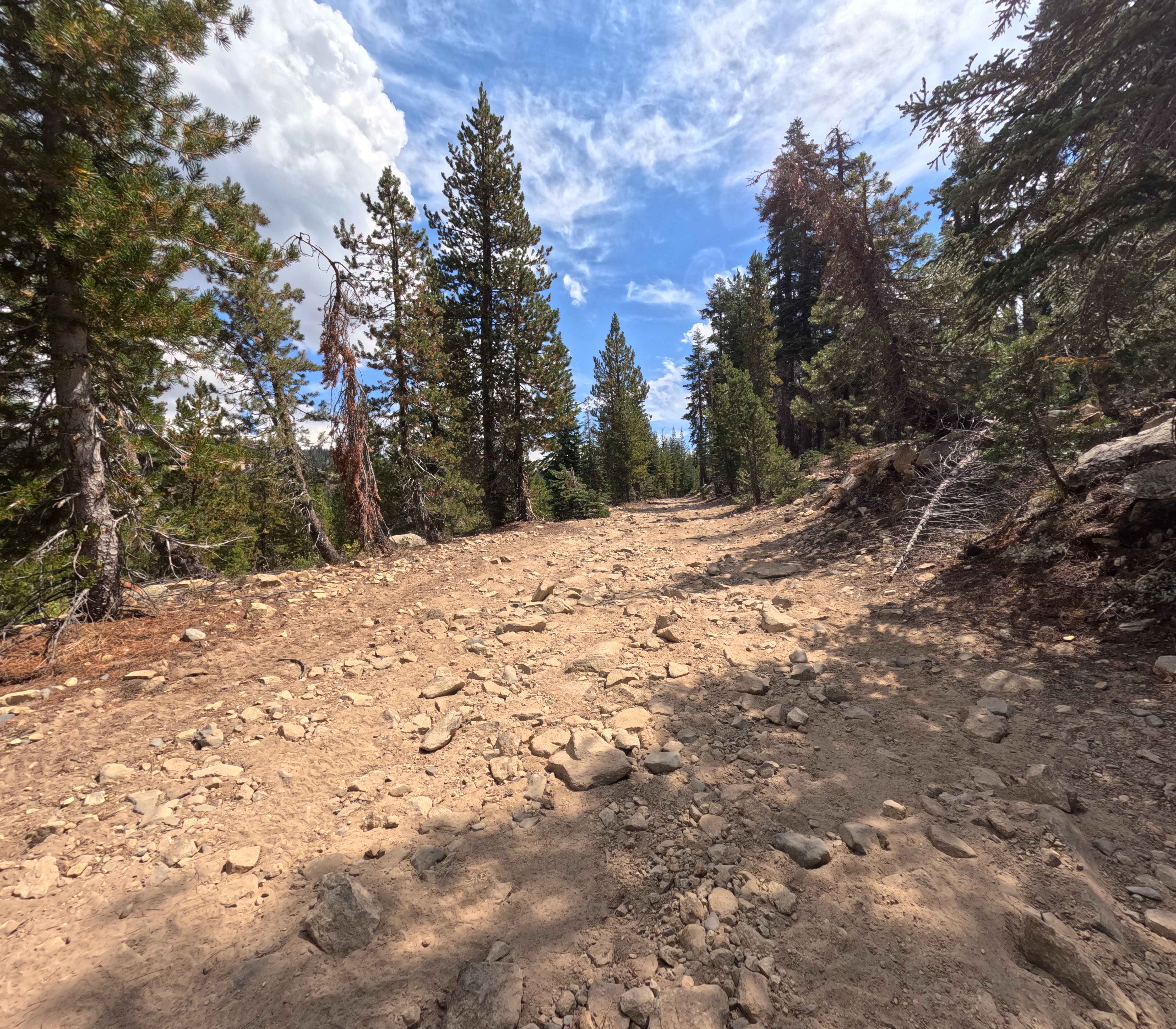
Quartz Mountain - FS 5S040Y
Total Miles
5.5
Tech Rating
Easy
Best Time
Summer, Fall
Learn more about Quatal Canyon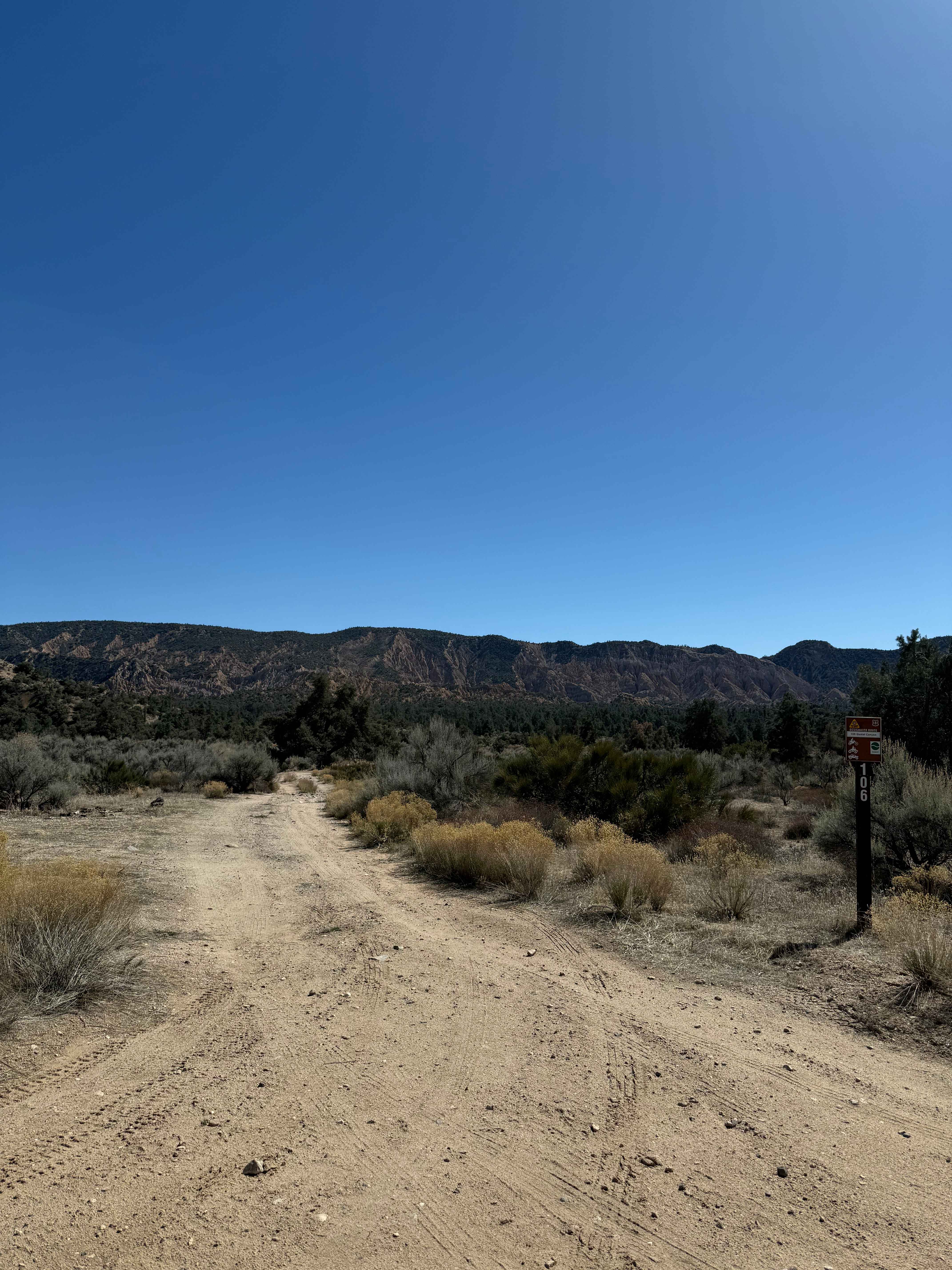
Quatal Canyon
Total Miles
14.7
Tech Rating
Easy
Best Time
Spring, Summer, Fall
Learn more about Queen Ester Road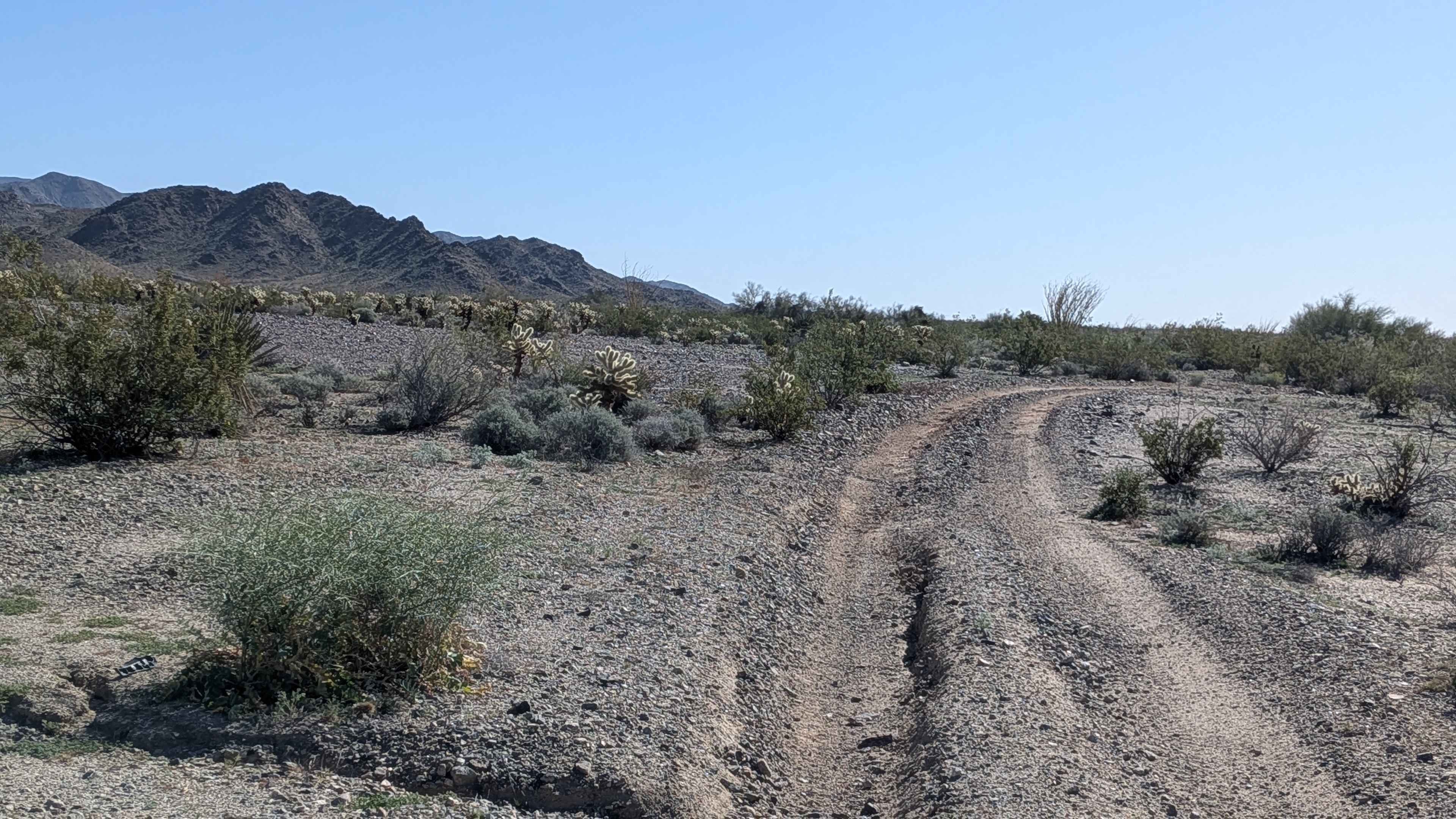
Queen Ester Road
Total Miles
7.9
Tech Rating
Easy
Best Time
Fall, Winter, Spring
Learn more about Queen of Sheba Mine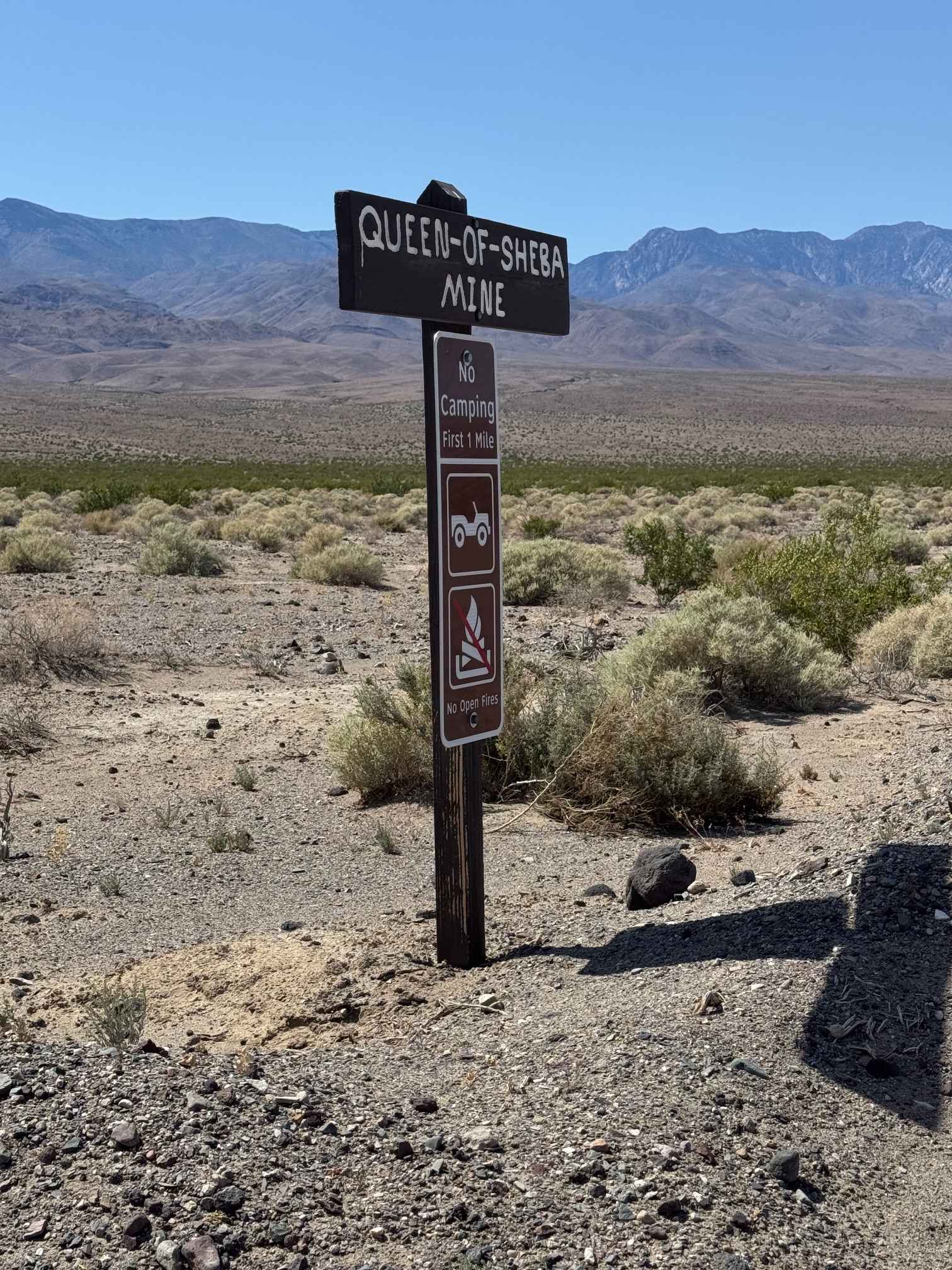
Queen of Sheba Mine
Total Miles
3.8
Tech Rating
Easy
Best Time
Spring, Summer, Fall
Learn more about R1 Clear Creek Road
R1 Clear Creek Road
Total Miles
9.6
Tech Rating
Easy
Best Time
Summer, Spring, Fall
Learn more about R43 Willis Well Road
R43 Willis Well Road
Total Miles
9.9
Tech Rating
Moderate
Best Time
Winter
Learn more about Raccoon - FS 26E336
Raccoon - FS 26E336
Total Miles
0.4
Tech Rating
Easy
Best Time
Summer, Fall
Learn more about Racetrack Valley Road North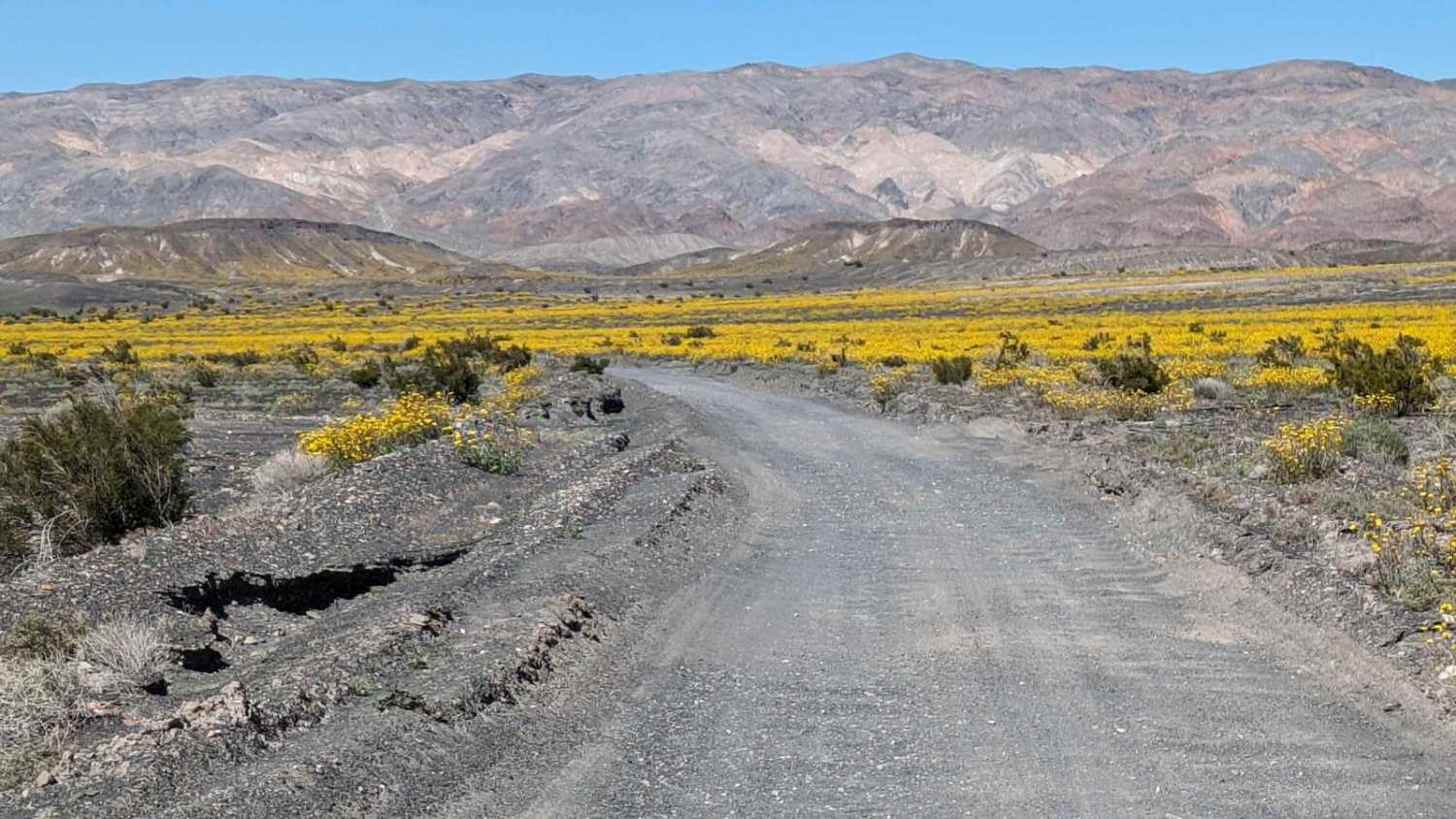
Racetrack Valley Road North
Total Miles
27.6
Tech Rating
Easy
Best Time
Winter, Fall, Summer, Spring
Learn more about Racetrack via Hunter Mountain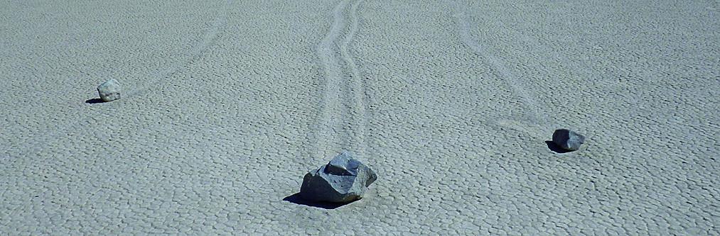
Racetrack via Hunter Mountain
Total Miles
50.1
Tech Rating
Moderate
Best Time
Fall, Winter, Spring
Learn more about Radford Frontline Road - FS 104
Radford Frontline Road - FS 104
Total Miles
10.5
Tech Rating
Easy
Best Time
Spring, Summer, Fall
Learn more about Radford Truck Trail - FS 2N06
Radford Truck Trail - FS 2N06
Total Miles
5.8
Tech Rating
Easy
Best Time
Spring, Summer, Fall
Learn more about Radio Summit
Radio Summit
Total Miles
0.7
Tech Rating
Easy
Best Time
Spring, Summer, Fall, Winter
Learn more about Rainbow Basin Loop 
Rainbow Basin Loop
Total Miles
7.3
Tech Rating
Easy
Best Time
Spring, Fall, Winter
Learn more about Rainbow Trail - FS 2N59
Rainbow Trail - FS 2N59
Total Miles
4.1
Tech Rating
Easy
Best Time
Spring, Summer, Fall
Learn more about Rainbow Wash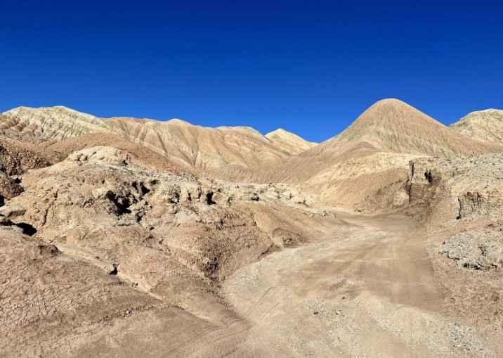
Rainbow Wash
Total Miles
2.7
Tech Rating
Easy
Best Time
Spring, Summer, Fall, Winter
Learn more about Rainier Creek - FS 5S037
Rainier Creek - FS 5S037
Total Miles
2.8
Tech Rating
Easy
Best Time
Spring, Summer, Fall
ATV trails in California


UTV/side-by-side trails in California


Learn more about 3N267 Fenner Saddle (4N12)
3N267 Fenner Saddle (4N12)
Total Miles
3.8
Tech Rating
Difficult
Best Time
Spring, Summer, Fall, Winter

The onX Offroad Difference
onX Offroad combines trail photos, descriptions, difficulty ratings, width restrictions, seasonality, and more in a user-friendly interface. Available on all devices, with offline access and full compatibility with CarPlay and Android Auto. Discover what you’re missing today!