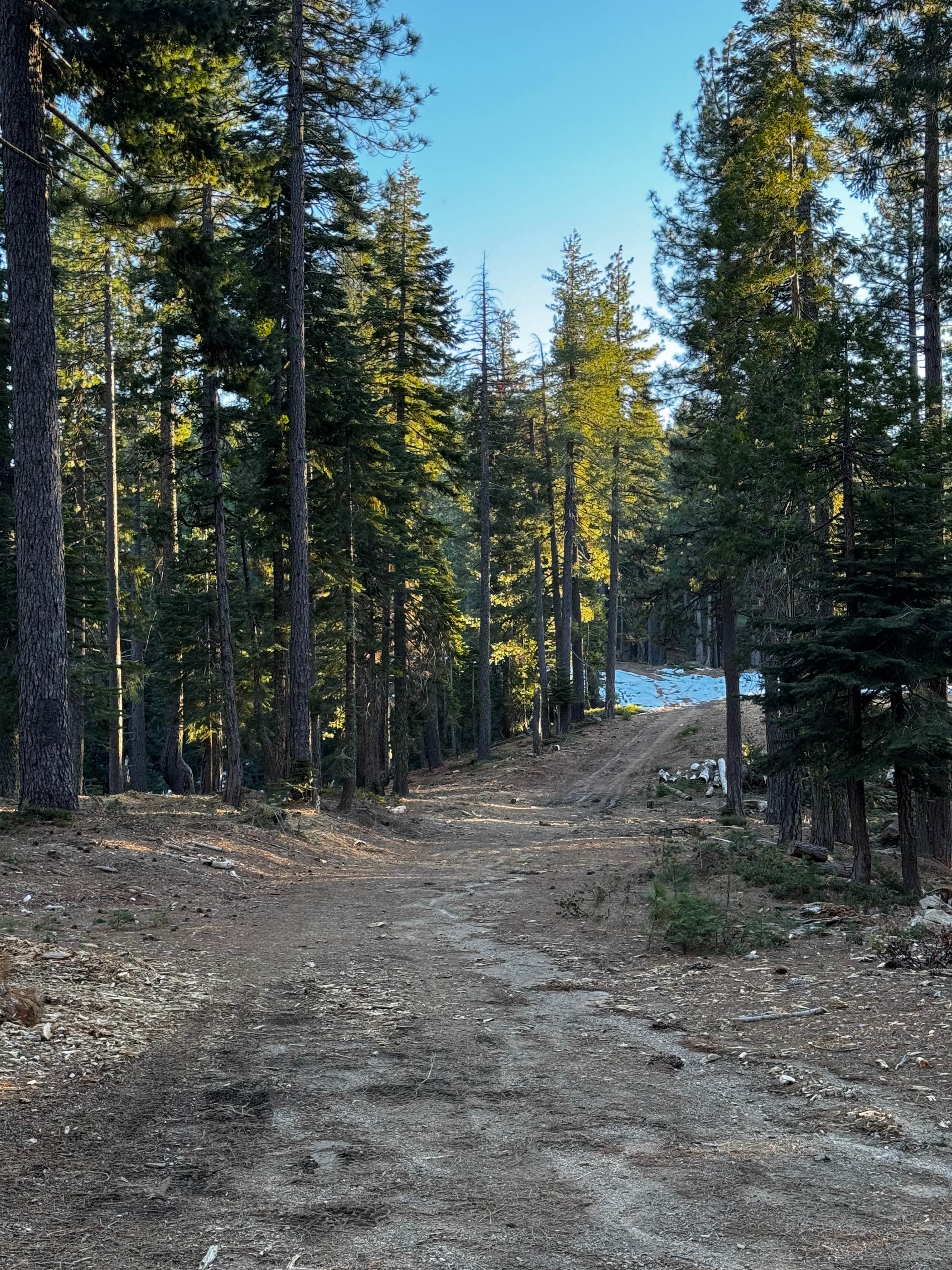
Off-Road Trails in California
Discover off-road trails in California
Learn more about Rancheria Road North - FS 25S15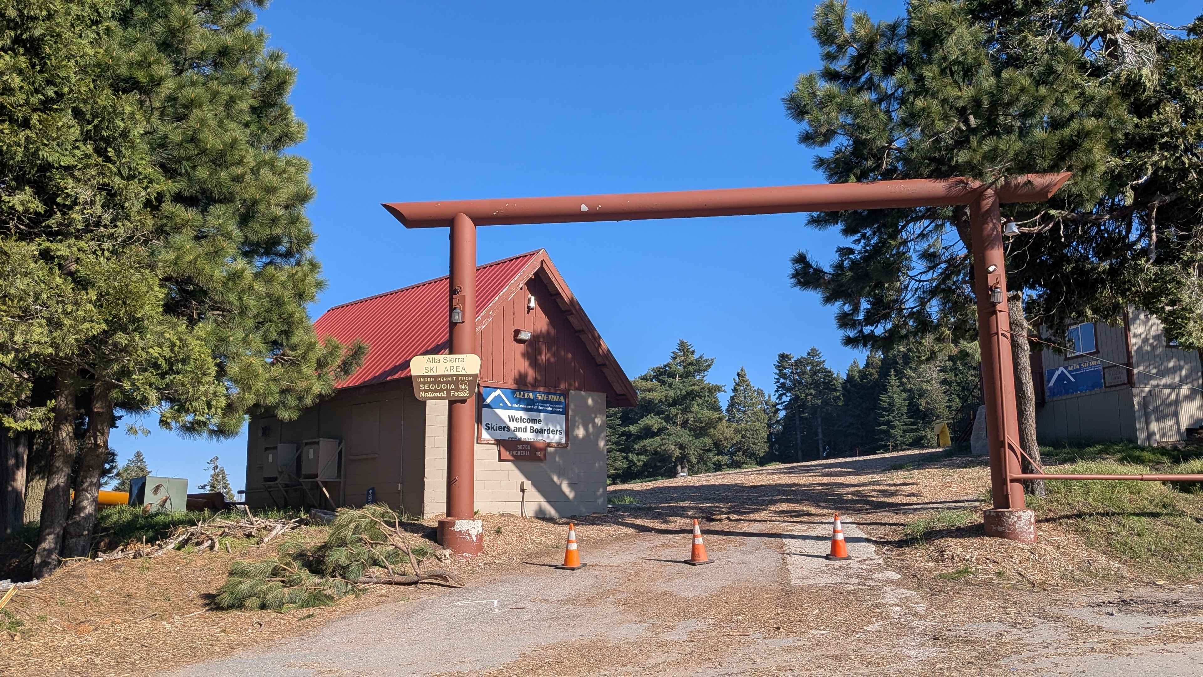
Rancheria Road North - FS 25S15
Total Miles
5.8
Tech Rating
Easy
Best Time
Fall, Summer, Spring
Learn more about Rancheria Road South - FS 25S15
Rancheria Road South - FS 25S15
Total Miles
6.9
Tech Rating
Easy
Best Time
Fall, Summer, Spring
Learn more about Rancheria Spur - FS 25S15C
Rancheria Spur - FS 25S15C
Total Miles
2.2
Tech Rating
Easy
Best Time
Fall, Summer, Spring
Learn more about Ranger - Trail 12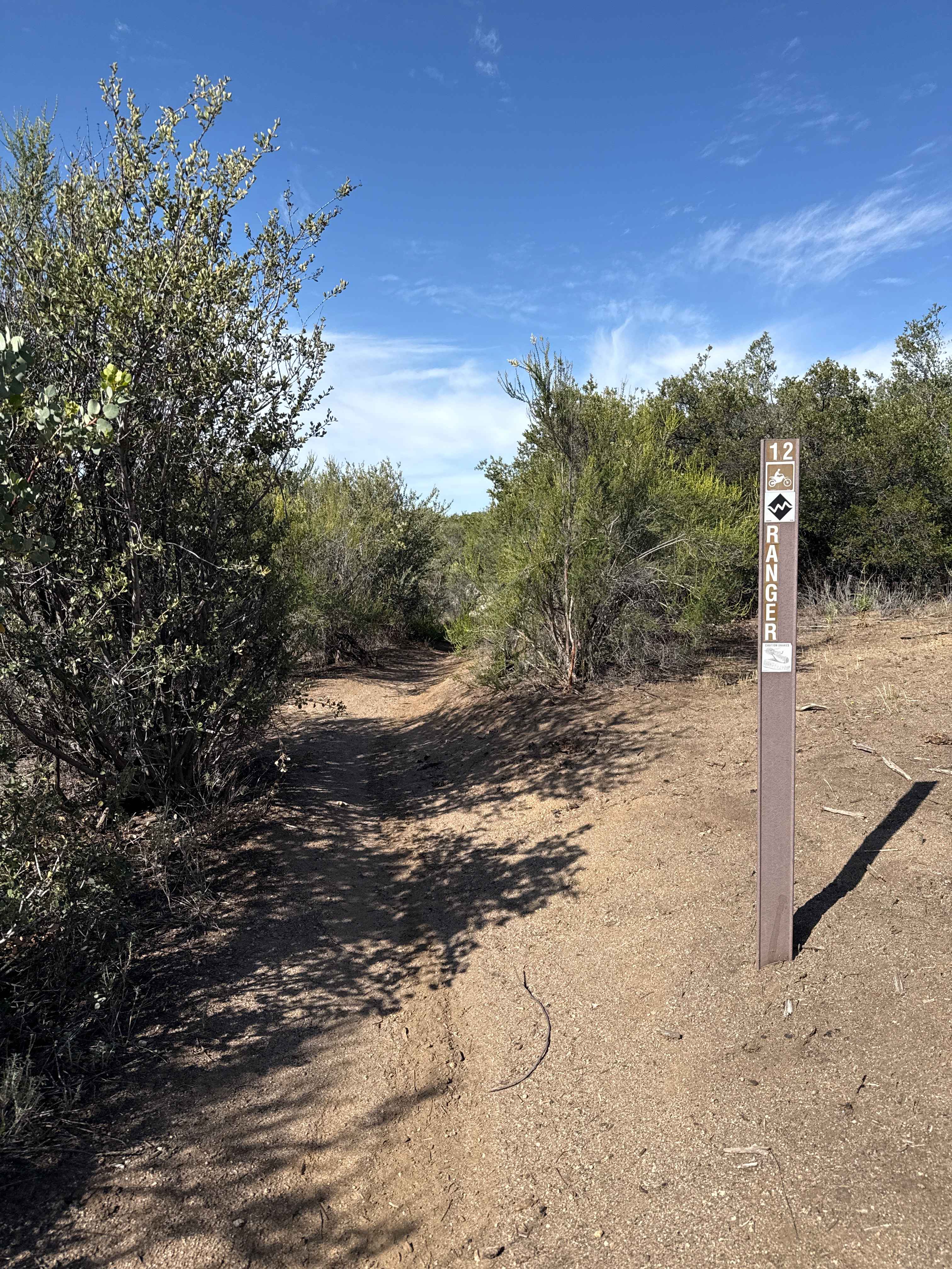
Ranger - Trail 12
Total Miles
4.5
Tech Rating
Difficult
Best Time
Spring, Summer, Fall, Winter
Learn more about Rattler Trail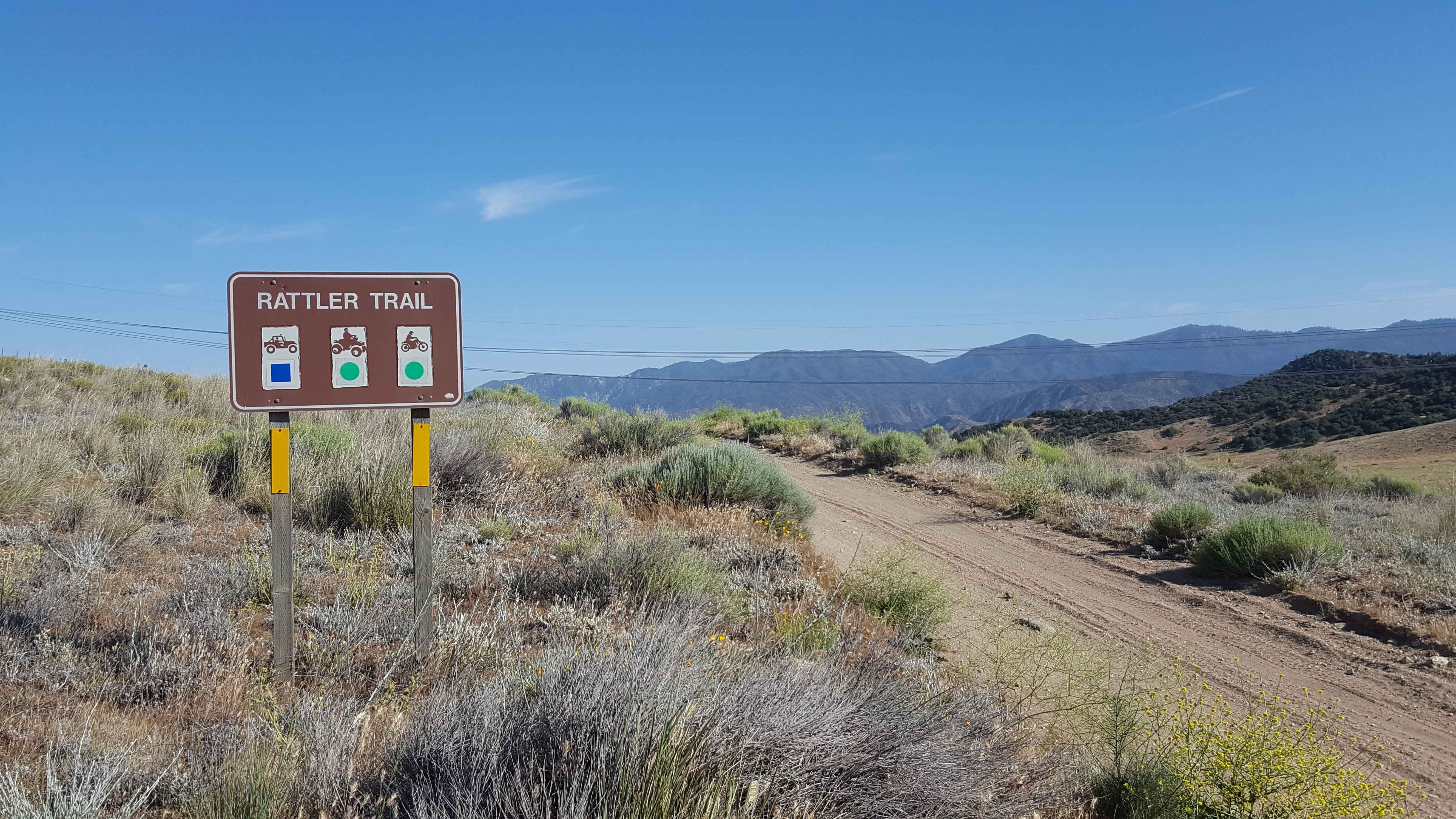
Rattler Trail
Total Miles
4.5
Tech Rating
Easy
Best Time
Spring, Summer, Fall, Winter
Learn more about Rattlesnake - FS 26S34B
Rattlesnake - FS 26S34B
Total Miles
1.7
Tech Rating
Easy
Best Time
Fall, Summer, Spring
Learn more about Rattlesnake 4x4 85467
Rattlesnake 4x4 85467
Total Miles
2.6
Tech Rating
Easy
Best Time
Spring, Summer, Fall

Learn more about Rattlesnake Loop
Rattlesnake Loop
Total Miles
2.3
Tech Rating
Easy
Best Time
Spring, Summer, Winter, Fall
Learn more about RC3331 Rattlesnake Canyon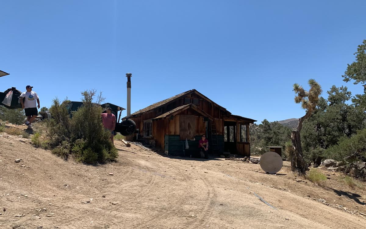
RC3331 Rattlesnake Canyon
Total Miles
15.9
Tech Rating
Moderate
Best Time
Spring, Summer, Fall
Learn more about Rector Line 9S006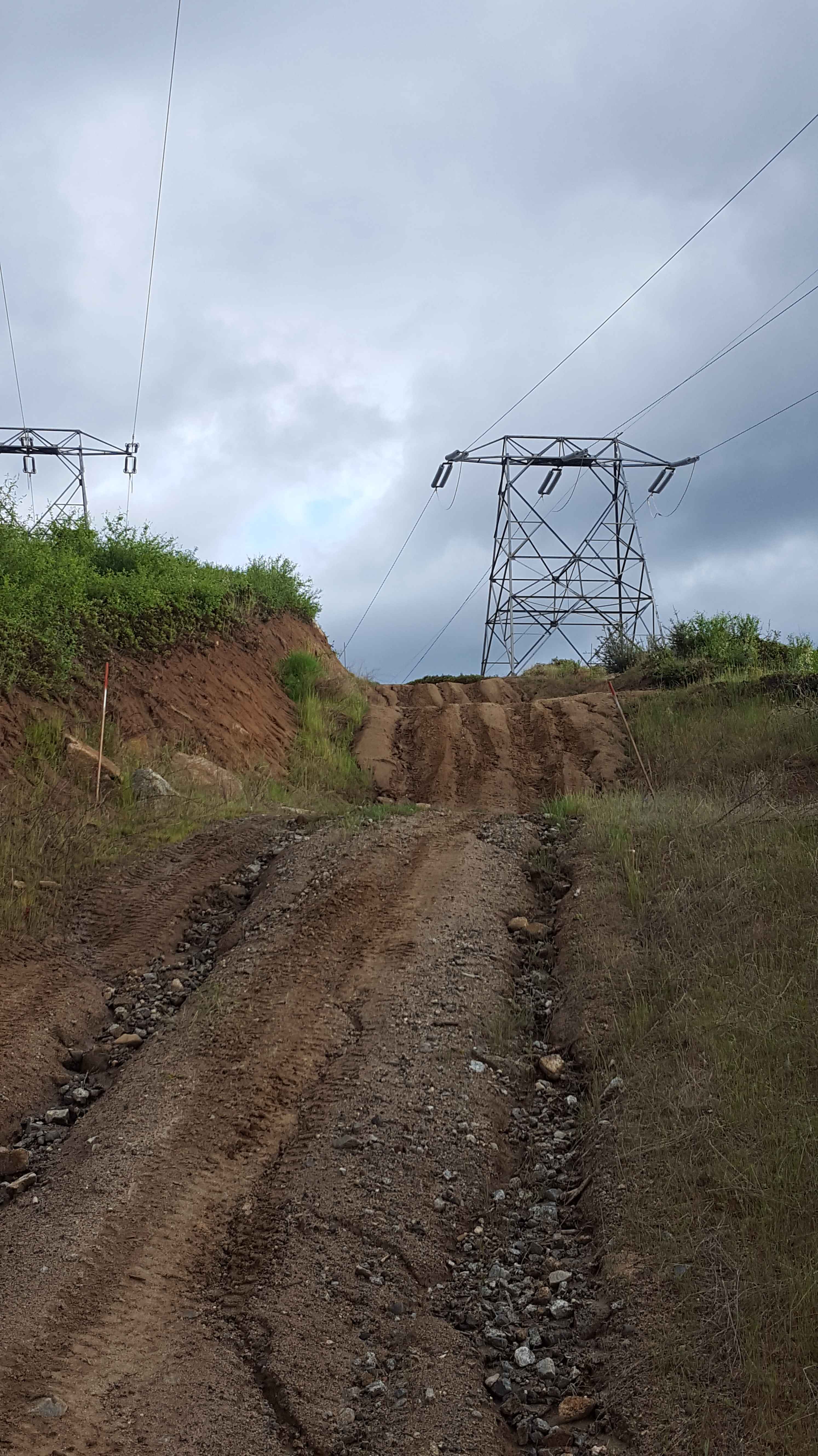
Rector Line 9S006
Total Miles
5.7
Tech Rating
Easy
Best Time
Spring, Summer, Fall
Learn more about Red Cloud Mine
Red Cloud Mine
Total Miles
12.4
Tech Rating
Easy
Best Time
Spring, Summer, Fall, Winter
Learn more about Red Fir Road - FS3S24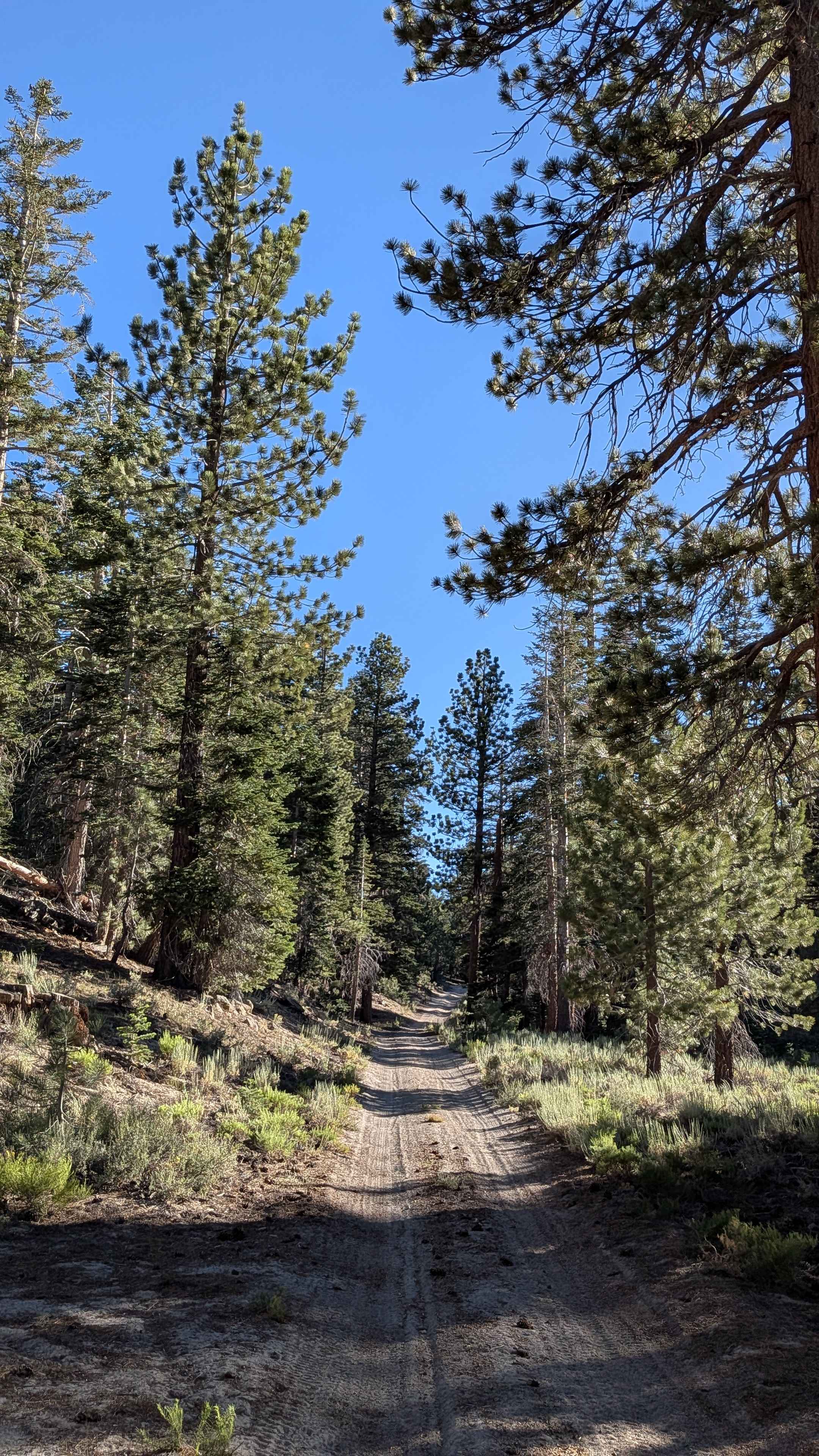
Red Fir Road - FS3S24
Total Miles
3.7
Tech Rating
Easy
Best Time
Fall, Summer
Learn more about Red Hills Road/Serpentine loop 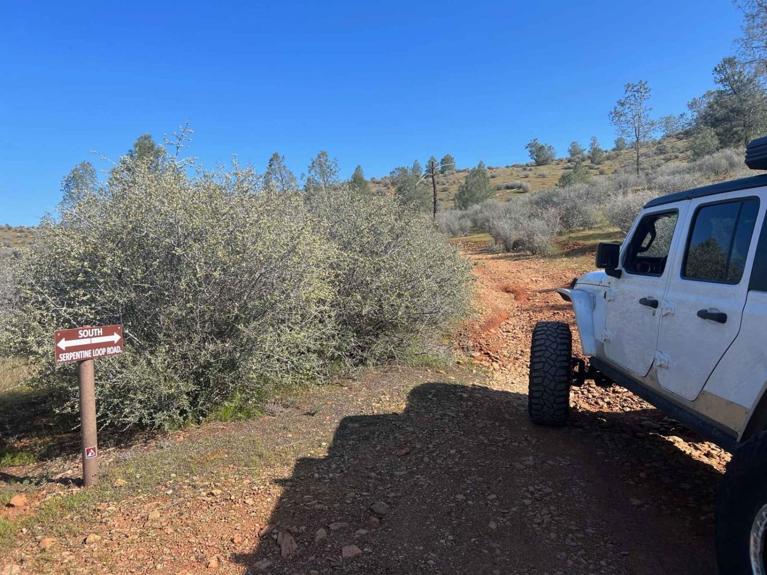
Red Hills Road/Serpentine loop
Total Miles
2.9
Tech Rating
Easy
Best Time
Spring, Fall, Summer
Learn more about Red Lakes Road - FS 8S042
Red Lakes Road - FS 8S042
Total Miles
3.3
Tech Rating
Easy
Best Time
Summer, Fall
Learn more about Red Leg - FS 26E333
Red Leg - FS 26E333
Total Miles
0.9
Tech Rating
Easy
Best Time
Fall, Summer
Learn more about Red Mountain - FS 8S010
Red Mountain - FS 8S010
Total Miles
6.2
Tech Rating
Easy
Best Time
Summer, Fall
Learn more about Red Mountain OHV Trail
Red Mountain OHV Trail
Total Miles
4.0
Tech Rating
Easy
Best Time
Spring, Summer, Fall, Winter
Learn more about Red Mountain Road
Red Mountain Road
Total Miles
1.8
Tech Rating
Easy
Best Time
Summer, Fall
ATV trails in California


UTV/side-by-side trails in California


Learn more about 3N267 Fenner Saddle (4N12)
3N267 Fenner Saddle (4N12)
Total Miles
3.8
Tech Rating
Difficult
Best Time
Spring, Summer, Fall, Winter

The onX Offroad Difference
onX Offroad combines trail photos, descriptions, difficulty ratings, width restrictions, seasonality, and more in a user-friendly interface. Available on all devices, with offline access and full compatibility with CarPlay and Android Auto. Discover what you’re missing today!