Off-Road Trails in California
Discover off-road trails in California
Learn more about Ride to the Fish Pond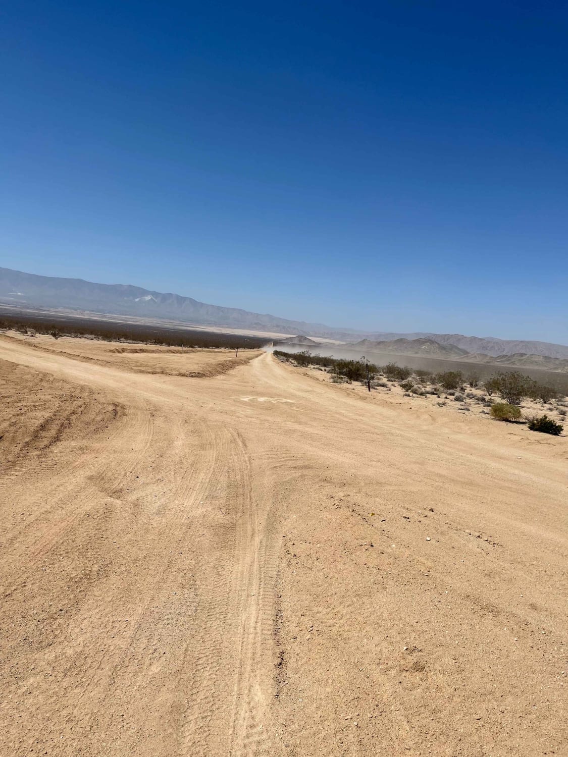
Ride to the Fish Pond
Total Miles
9.3
Tech Rating
Easy
Best Time
Fall, Winter, Spring
Learn more about Ridge Trail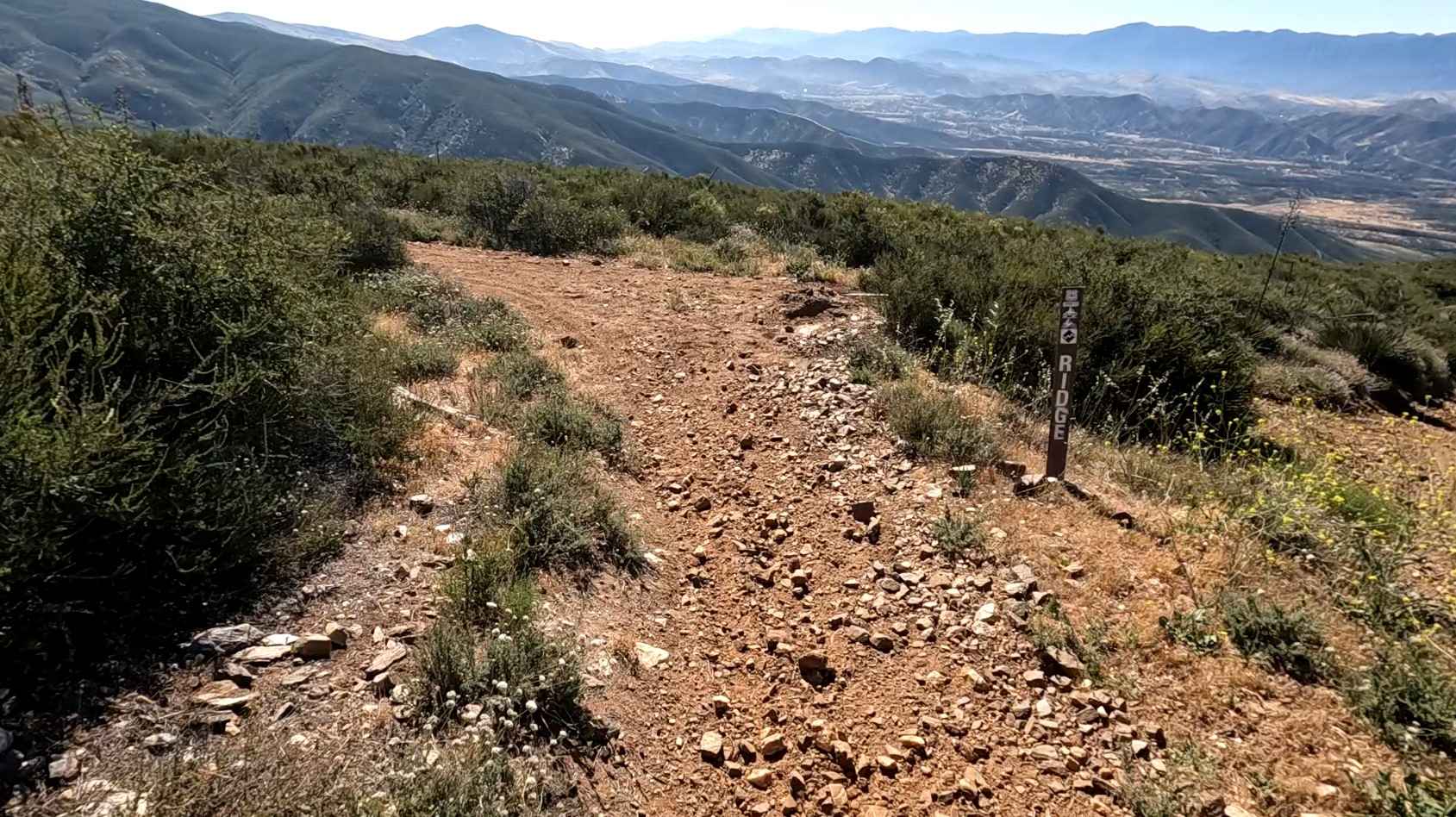
Ridge Trail
Total Miles
1.2
Tech Rating
Moderate
Best Time
Spring, Fall, Winter
Learn more about Riffel Canyon
Riffel Canyon
Total Miles
0.8
Tech Rating
Extreme
Best Time
Spring, Summer, Fall, Winter
Learn more about Rimrock Trail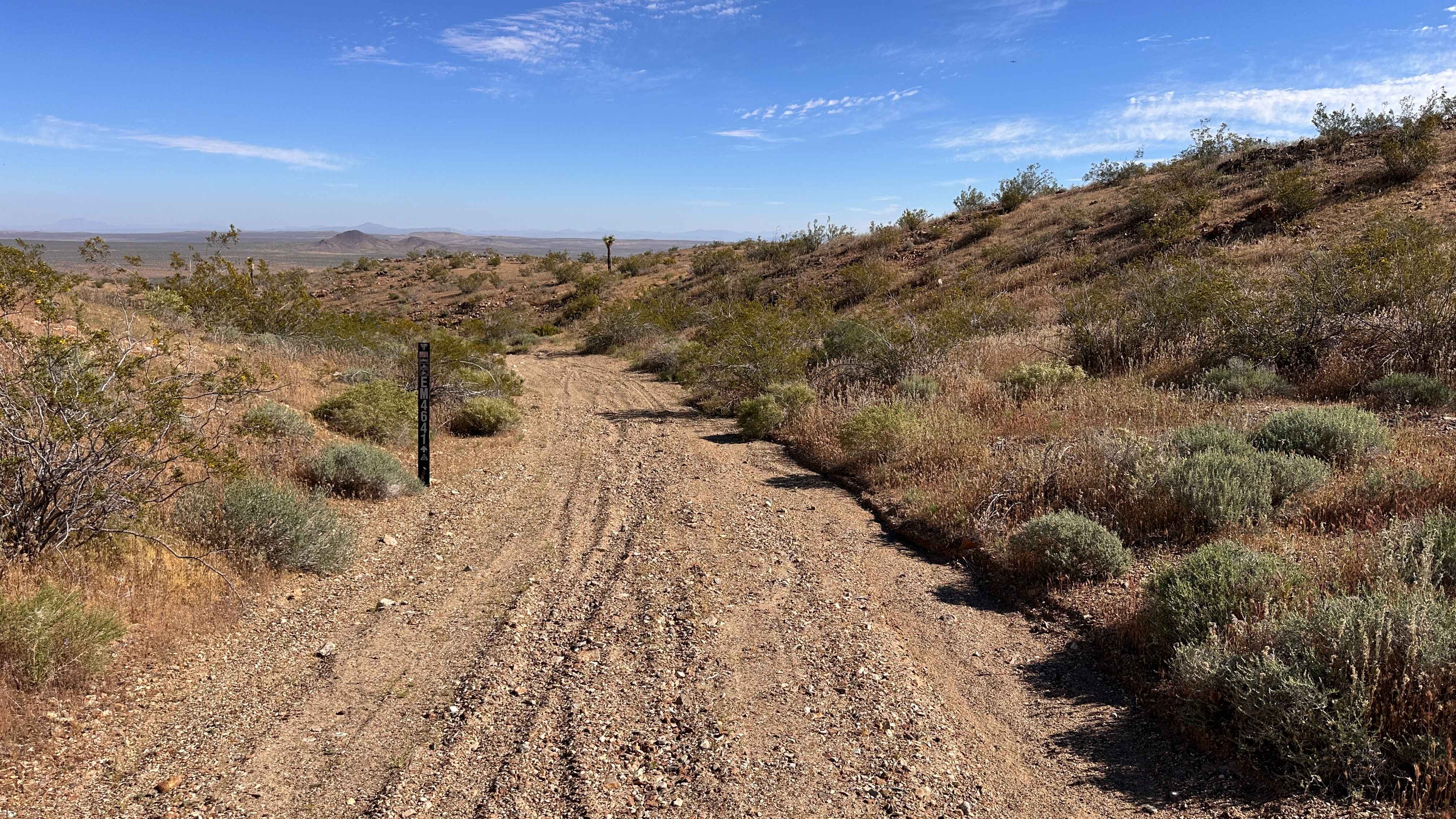
Rimrock Trail
Total Miles
1.0
Tech Rating
Moderate
Best Time
Spring, Summer, Winter, Fall
Learn more about Rincon - FS 22S51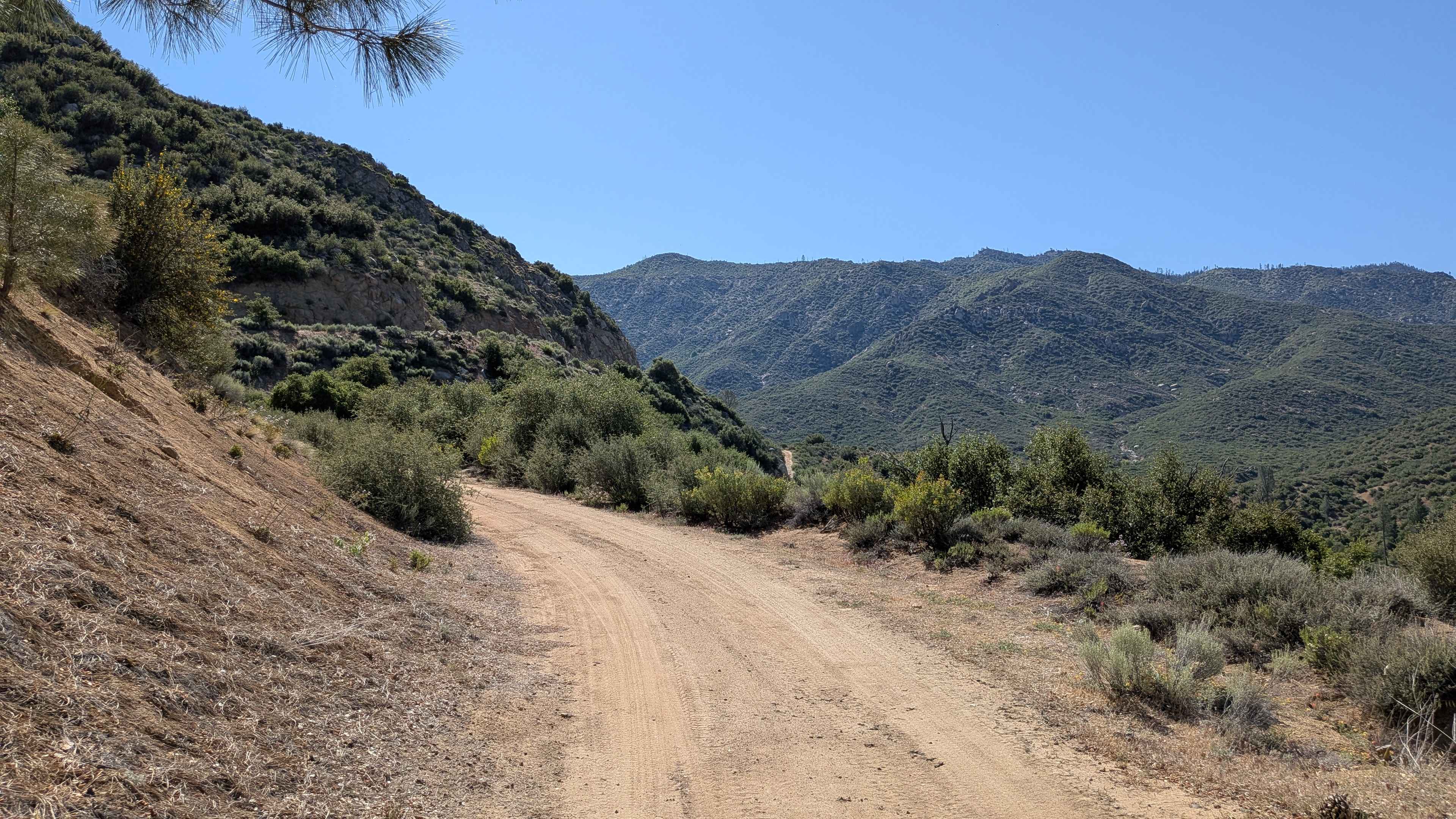
Rincon - FS 22S51
Total Miles
0.7
Tech Rating
Easy
Best Time
Fall, Summer, Spring
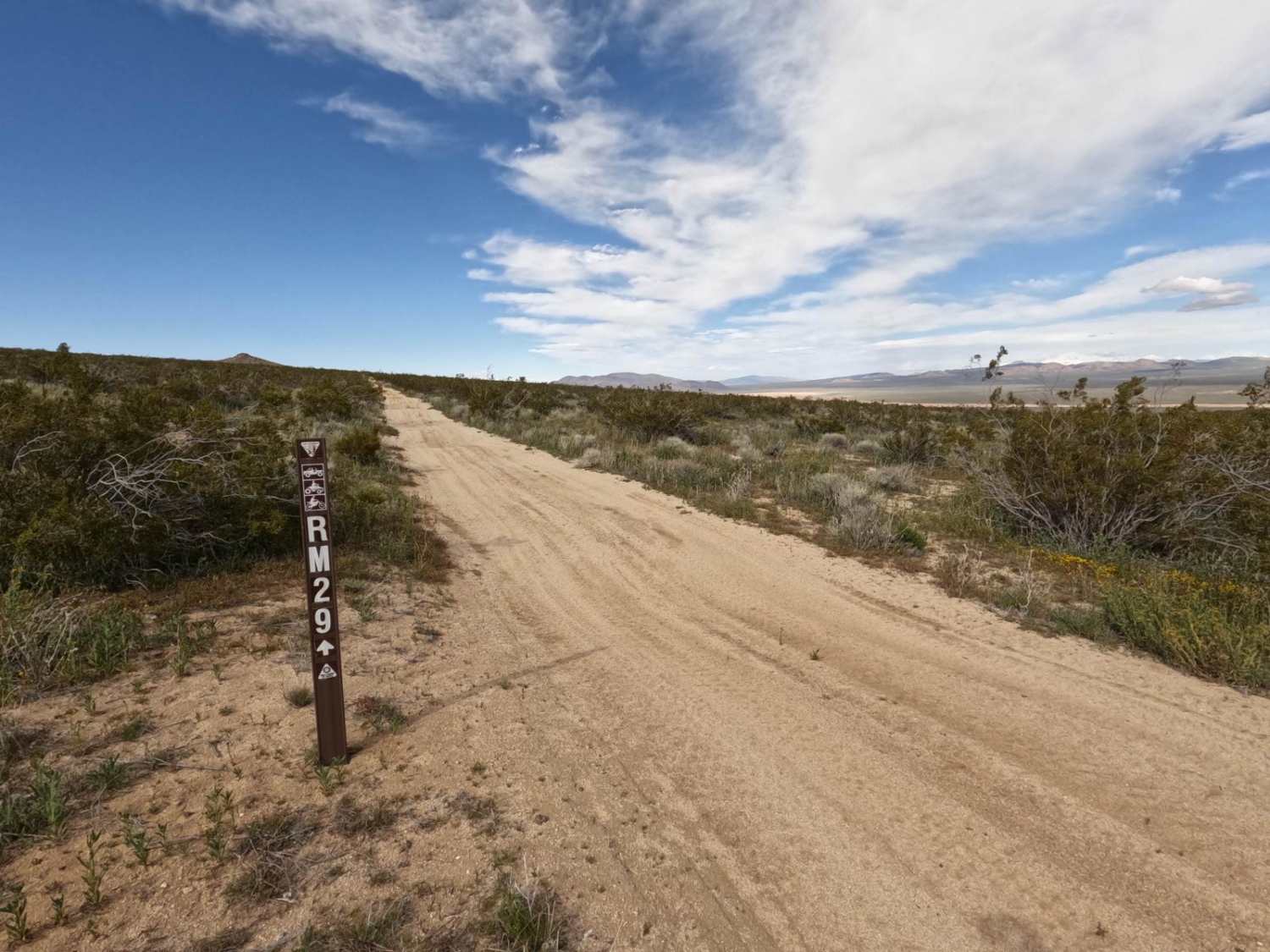
Learn more about Roadrunner Rut - BLM S1421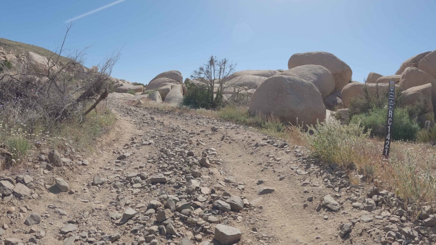
Roadrunner Rut - BLM S1421
Total Miles
4.1
Tech Rating
Easy
Best Time
Spring, Fall, Winter
Learn more about Roaring Ridge Cut Off
Roaring Ridge Cut Off
Total Miles
2.3
Tech Rating
Easy
Best Time
Spring, Fall, Summer
Learn more about Roaring Ridge Road
Roaring Ridge Road
Total Miles
2.4
Tech Rating
Easy
Best Time
Fall, Summer, Spring
Learn more about Robinson Flat FS 43
Robinson Flat FS 43
Total Miles
5.6
Tech Rating
Easy
Best Time
Spring, Summer, Fall
Learn more about Rock Creek Road - FS 9S090
Rock Creek Road - FS 9S090
Total Miles
12.6
Tech Rating
Easy
Best Time
Summer, Fall
Learn more about Rock Formations Loop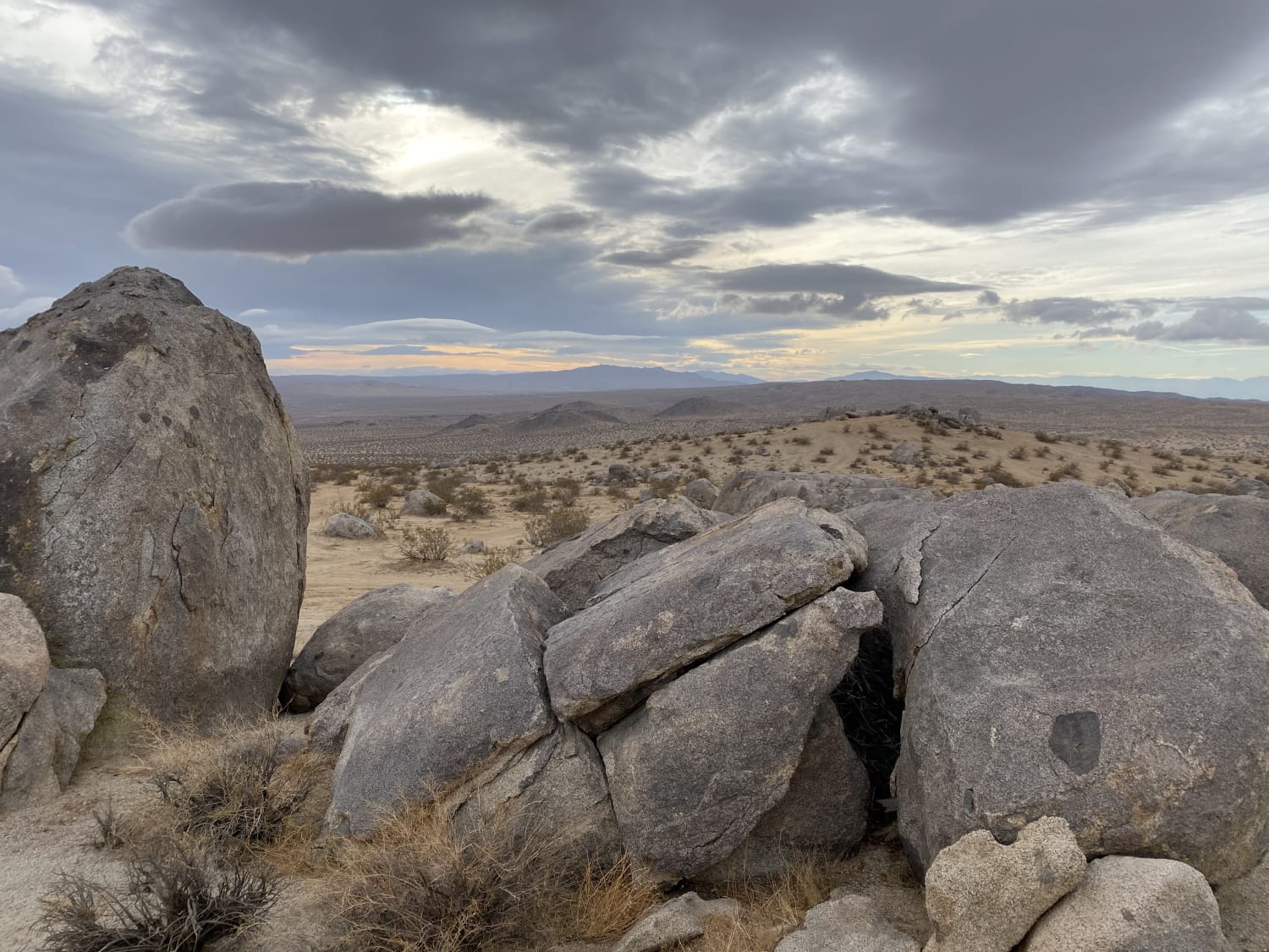
Rock Formations Loop
Total Miles
3.2
Tech Rating
Moderate
Best Time
Spring, Fall, Winter
Learn more about Rock Traverse
Rock Traverse
Total Miles
0.5
Tech Rating
Moderate
Best Time
Spring, Summer, Fall, Winter
Learn more about Rockhouse Canyon Road
Rockhouse Canyon Road
Total Miles
9.9
Tech Rating
Easy
Best Time
Spring, Summer, Fall, Winter
Learn more about Rocky Little Wilderness Border Loop
Rocky Little Wilderness Border Loop
Total Miles
2.0
Tech Rating
Easy
Best Time
Winter, Fall, Spring
Learn more about Rocky Ridge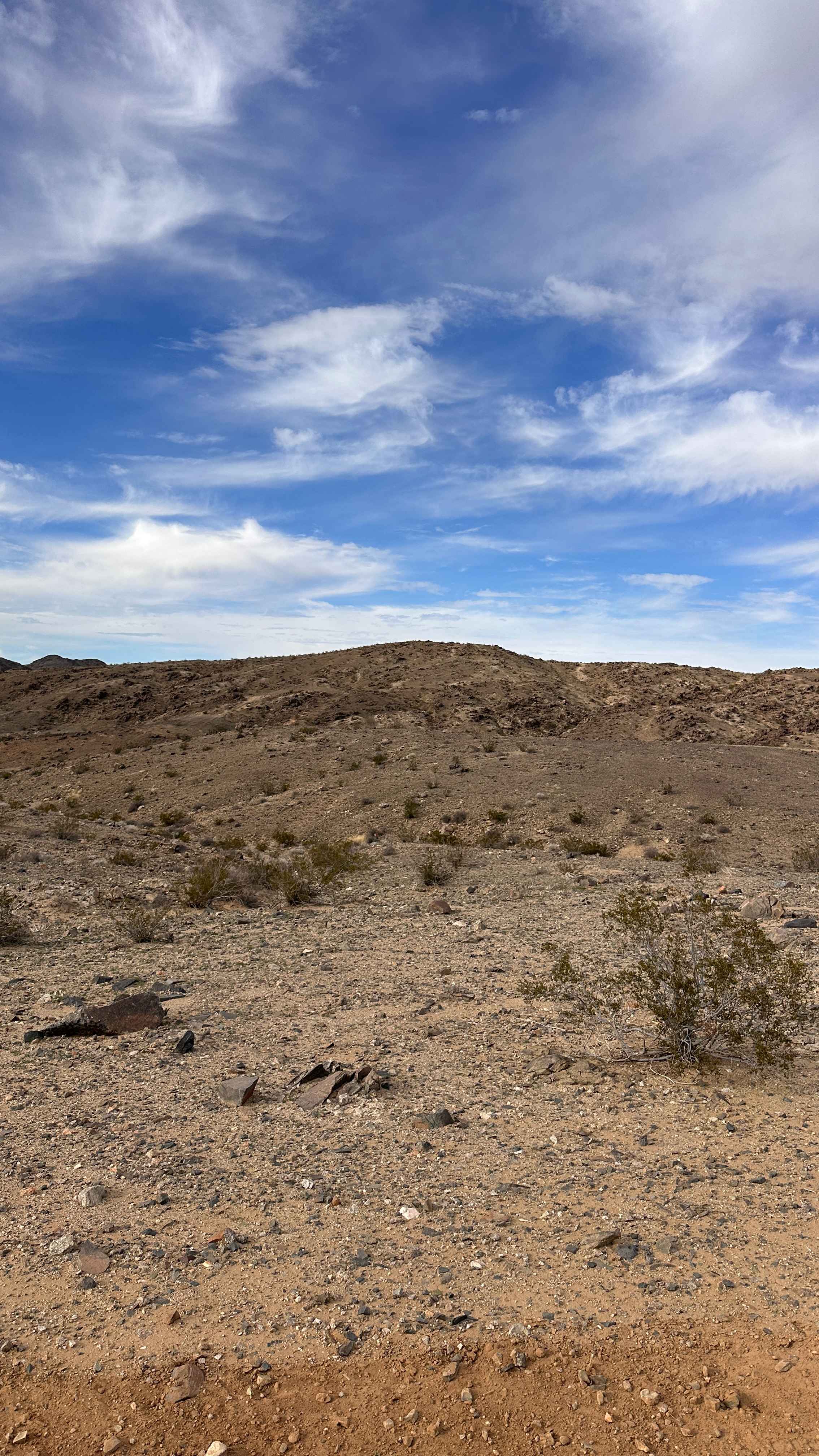
Rocky Ridge
Total Miles
0.9
Tech Rating
Moderate
Best Time
Spring, Summer, Fall, Winter
ATV trails in California


UTV/side-by-side trails in California


Learn more about 3N267 Fenner Saddle (4N12)
3N267 Fenner Saddle (4N12)
Total Miles
3.8
Tech Rating
Difficult
Best Time
Spring, Summer, Fall, Winter

The onX Offroad Difference
onX Offroad combines trail photos, descriptions, difficulty ratings, width restrictions, seasonality, and more in a user-friendly interface. Available on all devices, with offline access and full compatibility with CarPlay and Android Auto. Discover what you’re missing today!