Rockhouse Canyon Road
Total Miles
9.9
Technical Rating
Best Time
Spring, Summer, Fall, Winter
Trail Type
Full-Width Road
Accessible By
Trail Overview
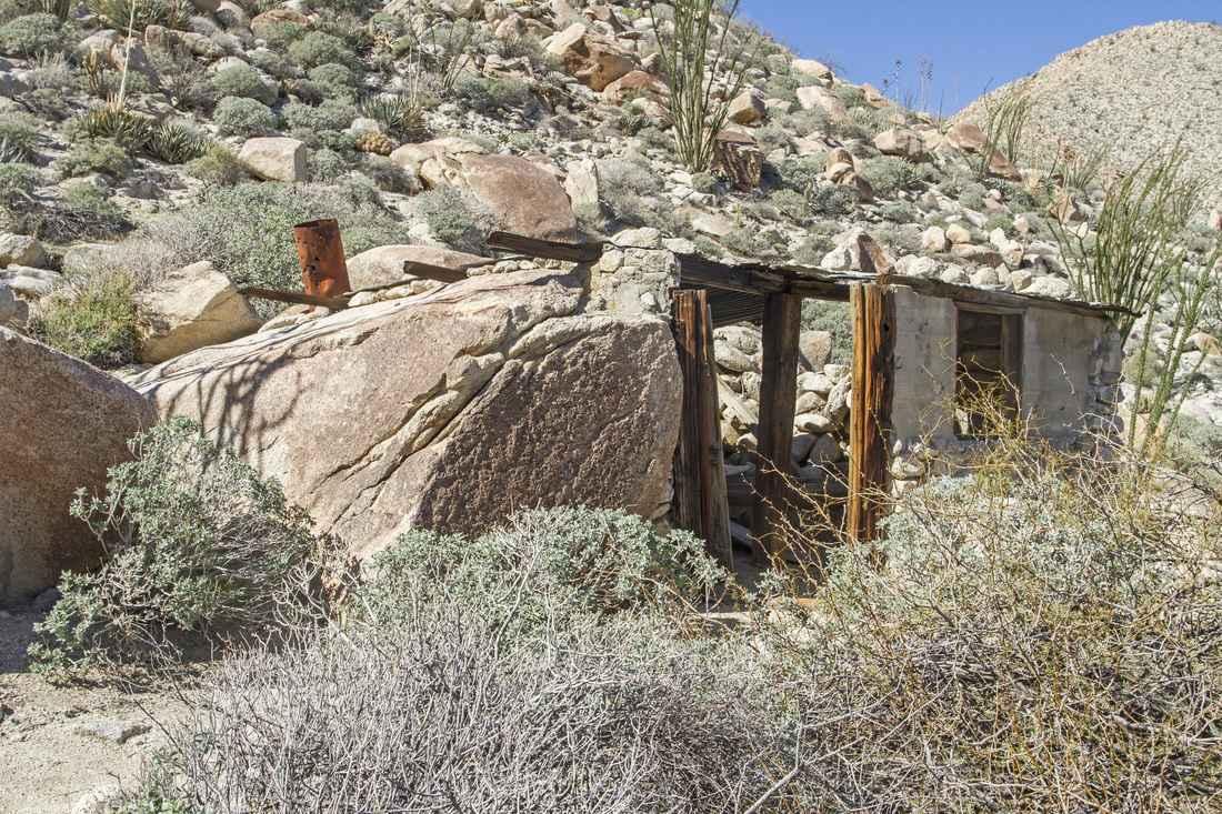
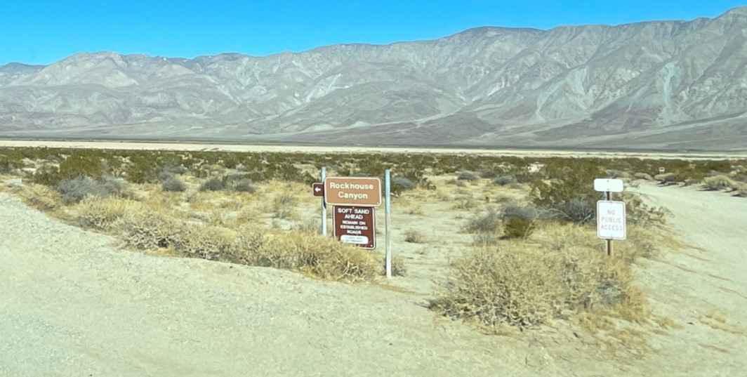
Rockhouse Canyon Road is a 19.8-mile out-and-back trail rated 3 of 10 within the California Anza-Borrego Desert State Park. The trail is restricted to street-legal vehicles. The trail starts at the end of the Clark Dry Lake featured trail and continues for 9.9 miles, at which point the motorized trail ends, and only hikers are allowed to travel out to the actual Rock Houses. The trail consists of hard-packed dirt, embedded rocks, and sandy washes. In dry weather, 2 or 4WD high-clearance vehicles can generally make it to Butler Canyon, but 4WD is recommended beyond that point. The trail crossing the Clark Dry Lake is off-limits to vehicle traffic. If you intend to hike to the Rock Houses (there are 3 distinct) be prepared for a long hike. Distance from the end of the trail to the houses is about 5 miles with a 1000-foot increase in elevation. The general location of the houses is 33deg27'24.77"N, 116deg22'20.68"W. Although old maps show a road going through this area, it was closed off years ago when the wilderness area was designated. There is no phone service in the very remote area. The nearest services are located in Borrego Springs to the west or Salton City to the east, both along S22.
Photos of Rockhouse Canyon Road
Difficulty
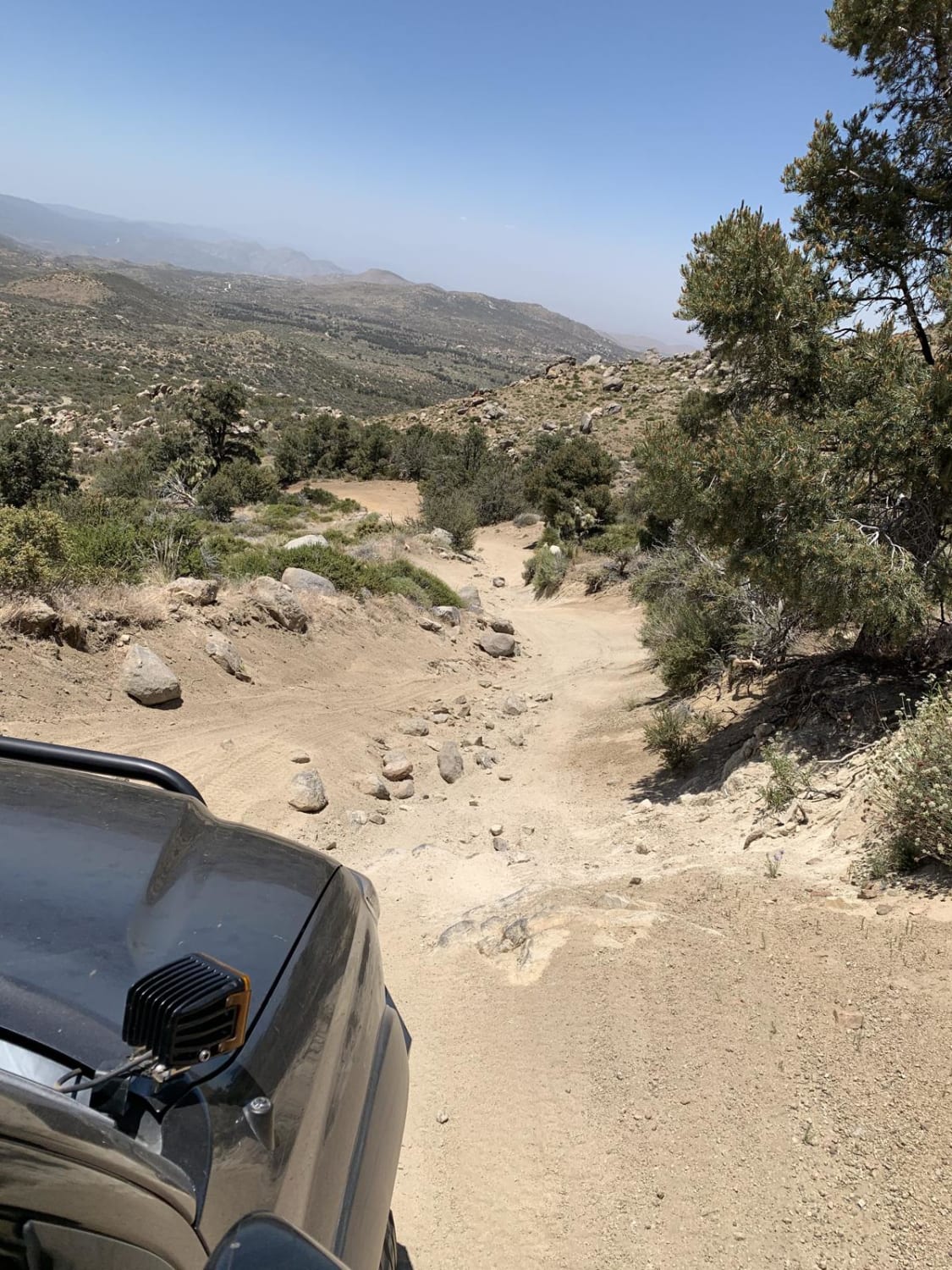
The trail consists of loose rocks, dirt, and sand with some slick rock surfaces and mud holes possible. No steps are higher than 12 inches. 4WD may be required, and aggressive tires are a plus.
Status Reports
Rockhouse Canyon Road can be accessed by the following ride types:
- High-Clearance 4x4
- SUV
Rockhouse Canyon Road Map
Popular Trails
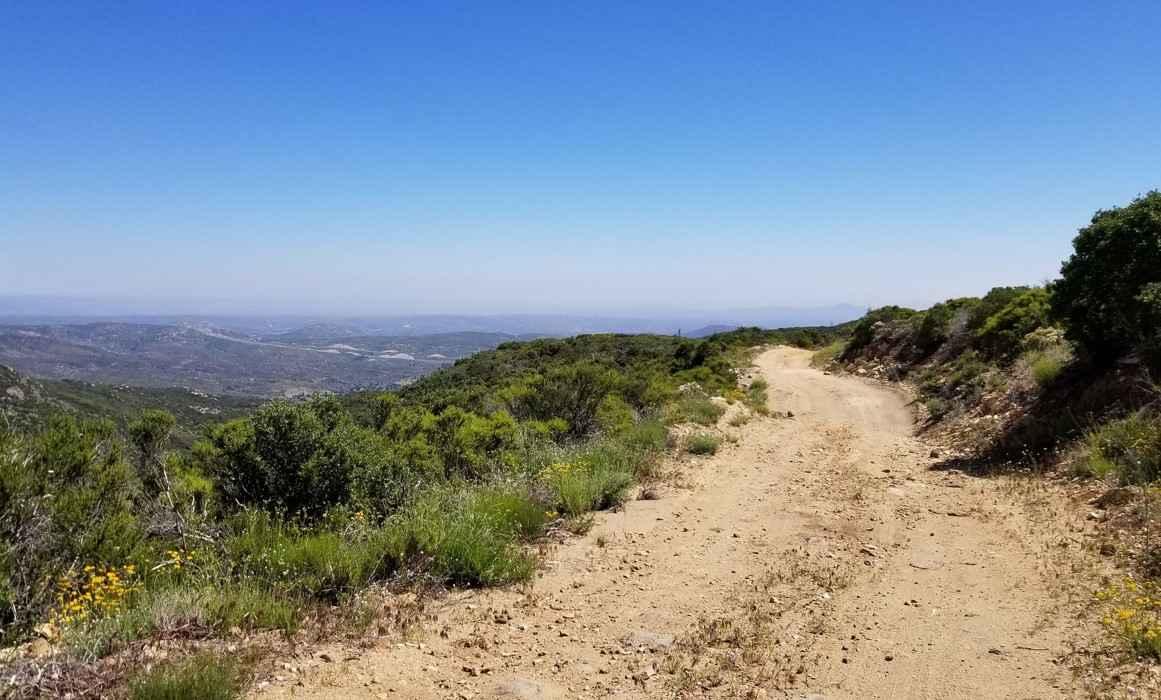
16S08 Fred Canyon Road
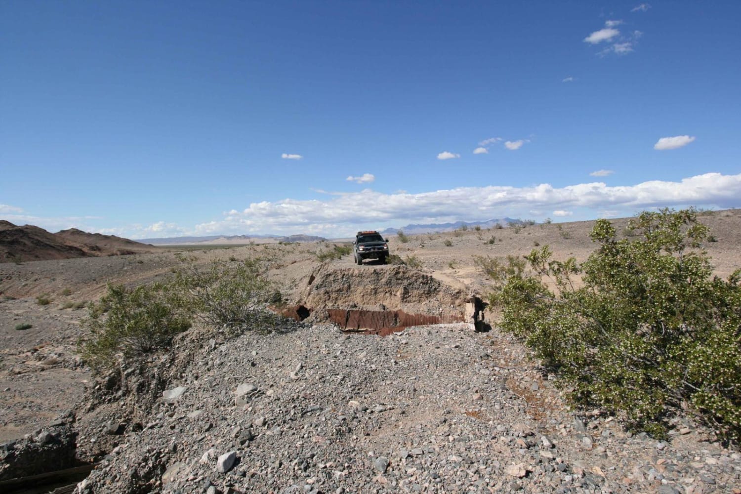
EMHT Segment 2: Ivanpah to Rocky Ridge
The onX Offroad Difference
onX Offroad combines trail photos, descriptions, difficulty ratings, width restrictions, seasonality, and more in a user-friendly interface. Available on all devices, with offline access and full compatibility with CarPlay and Android Auto. Discover what you’re missing today!
