Off-Road Trails in California
Discover off-road trails in California
Learn more about Sand Highway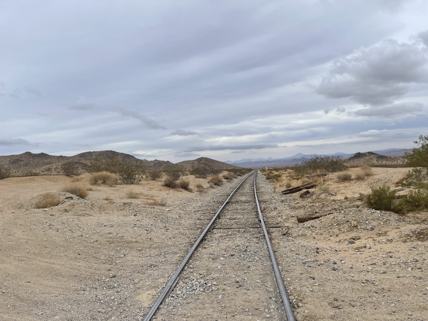
Sand Highway
Total Miles
7.2
Tech Rating
Moderate
Best Time
Winter, Summer, Spring
Learn more about Sand Pits Motocross Track
Sand Pits Motocross Track
Total Miles
0.6
Tech Rating
Moderate
Best Time
Spring, Summer, Fall
Learn more about Sand Rail Wash
Sand Rail Wash
Total Miles
4.7
Tech Rating
Easy
Best Time
Winter, Fall, Spring
Learn more about Sand Rip Loop
Sand Rip Loop
Total Miles
1.3
Tech Rating
Moderate
Best Time
Spring, Summer, Fall, Winter
Learn more about Sand to Stars
Sand to Stars
Total Miles
0.4
Tech Rating
Difficult
Best Time
Spring, Summer, Fall, Winter
Learn more about Sandstone Canyon Trail
Sandstone Canyon Trail
Total Miles
1.7
Tech Rating
Easy
Best Time
Spring, Summer, Fall, Winter
Learn more about Sandstone Cut-Off
Sandstone Cut-Off
Total Miles
0.8
Tech Rating
Moderate
Best Time
Spring, Fall, Winter, Summer
Learn more about Sandy Hill Camp Overlook
Sandy Hill Camp Overlook
Total Miles
2.0
Tech Rating
Moderate
Best Time
Winter, Fall, Spring
Learn more about Santa Ana Divide - FS 2N11
Santa Ana Divide - FS 2N11
Total Miles
1.4
Tech Rating
Easy
Best Time
Spring, Summer, Fall
Learn more about Santa Rosa Truck Trail 7S02
Santa Rosa Truck Trail 7S02
Total Miles
13.2
Tech Rating
Easy
Best Time
Spring, Fall
Learn more about Santa Ysabel Truck Trail
Santa Ysabel Truck Trail
Total Miles
5.0
Tech Rating
Easy
Best Time
Fall, Spring, Summer
Learn more about Saratoga Springs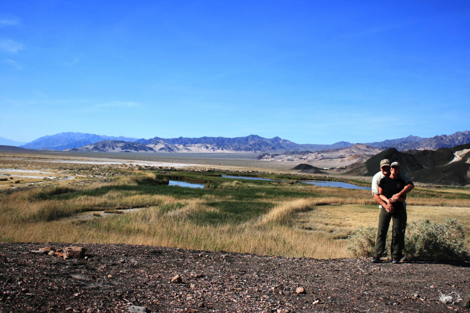
Saratoga Springs
Total Miles
4.0
Tech Rating
Easy
Best Time
Spring, Fall, Winter
Learn more about Sardine Lakes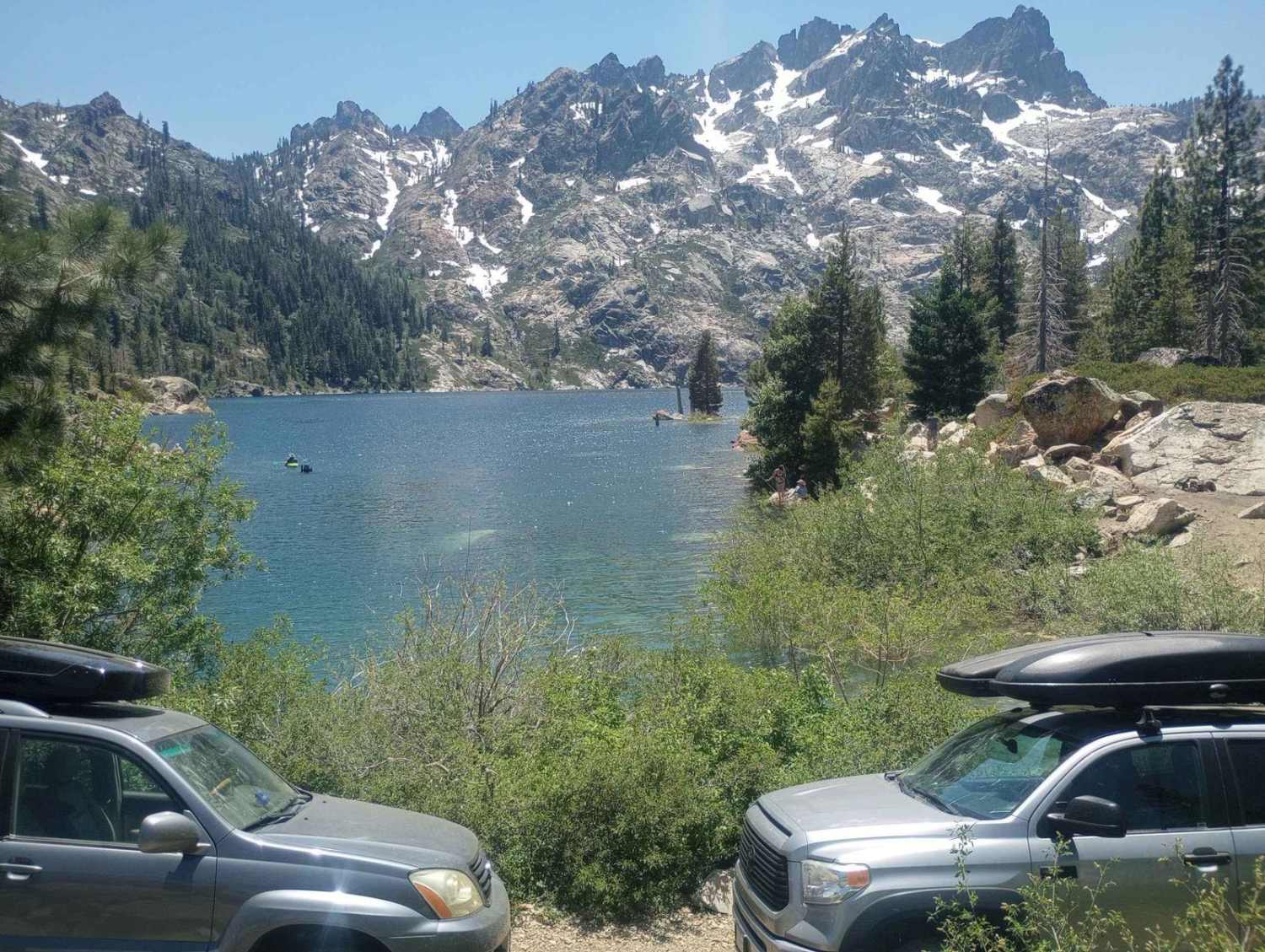
Sardine Lakes
Total Miles
0.7
Tech Rating
Moderate
Best Time
Spring, Summer, Fall
Learn more about Savahia Peak Mines
Savahia Peak Mines
Total Miles
19.3
Tech Rating
Moderate
Best Time
Spring, Fall, Winter
Learn more about Save the Rock - FS 5S039
Save the Rock - FS 5S039
Total Miles
3.1
Tech Rating
Easy
Best Time
Summer, Fall
Learn more about Savoy's Bumpy Return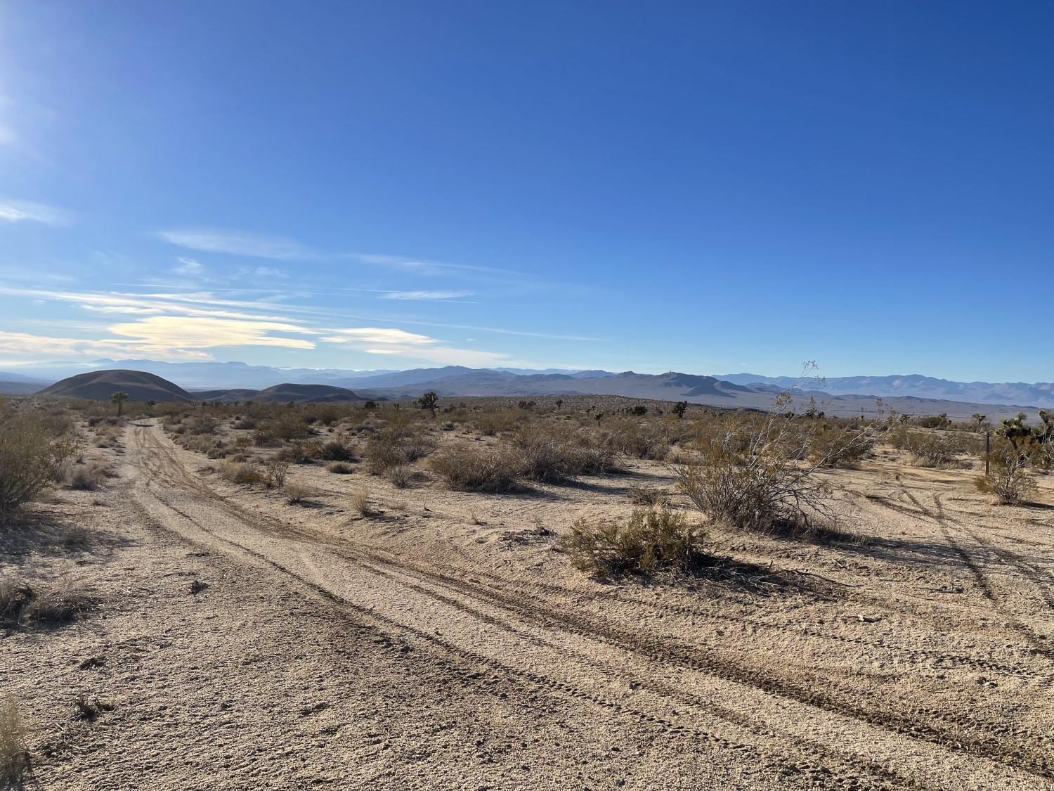
Savoy's Bumpy Return
Total Miles
1.8
Tech Rating
Moderate
Best Time
Winter, Fall, Spring
Learn more about Sawmill Connector
Sawmill Connector
Total Miles
1.4
Tech Rating
Easy
Best Time
Summer, Fall
ATV trails in California


UTV/side-by-side trails in California


Learn more about 3N267 Fenner Saddle (4N12)
3N267 Fenner Saddle (4N12)
Total Miles
3.8
Tech Rating
Difficult
Best Time
Spring, Summer, Fall, Winter

The onX Offroad Difference
onX Offroad combines trail photos, descriptions, difficulty ratings, width restrictions, seasonality, and more in a user-friendly interface. Available on all devices, with offline access and full compatibility with CarPlay and Android Auto. Discover what you’re missing today!