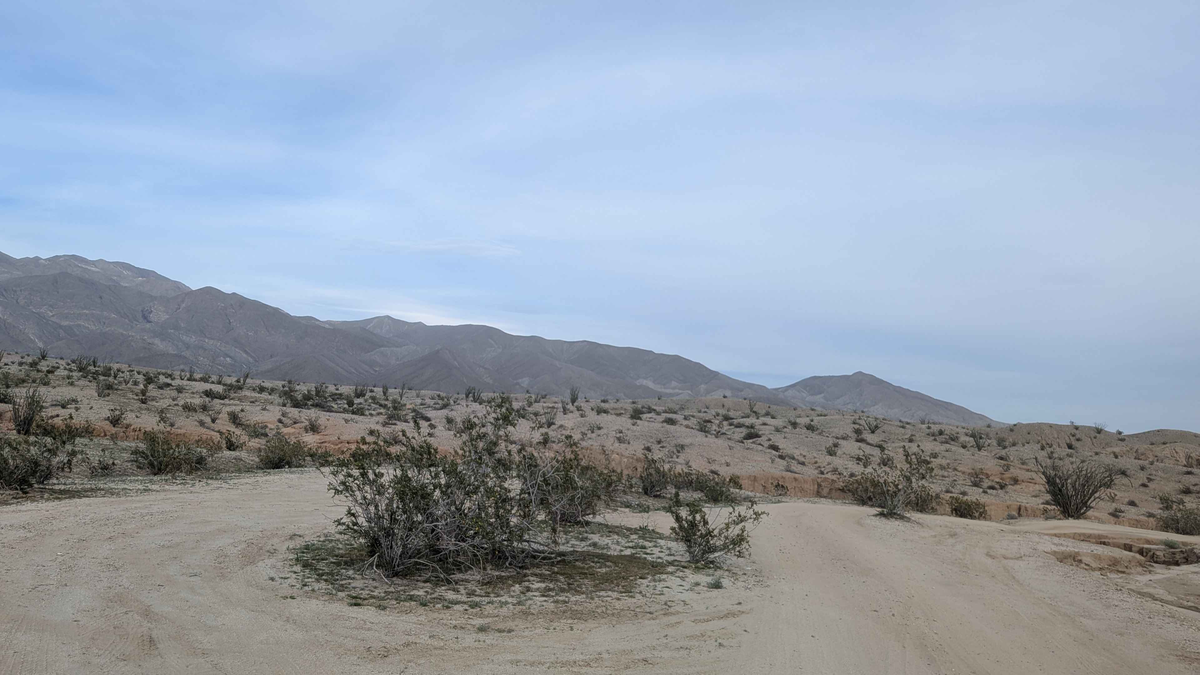
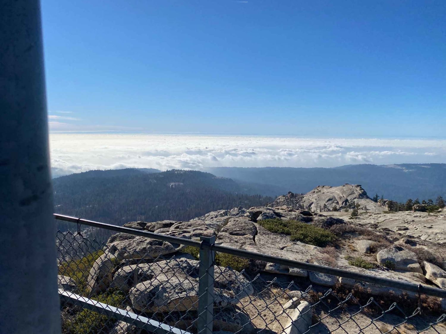
Off-Road Trails in California
Discover off-road trails in California
Learn more about Sherwood Road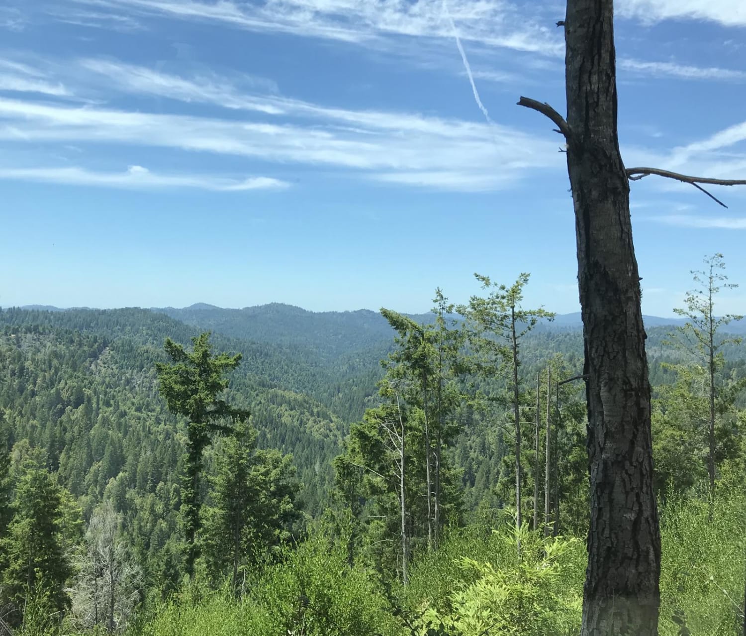
Sherwood Road
Total Miles
41.1
Tech Rating
Easy
Best Time
Spring, Summer, Fall, Winter
Learn more about Shirley Meadows - FS 25S31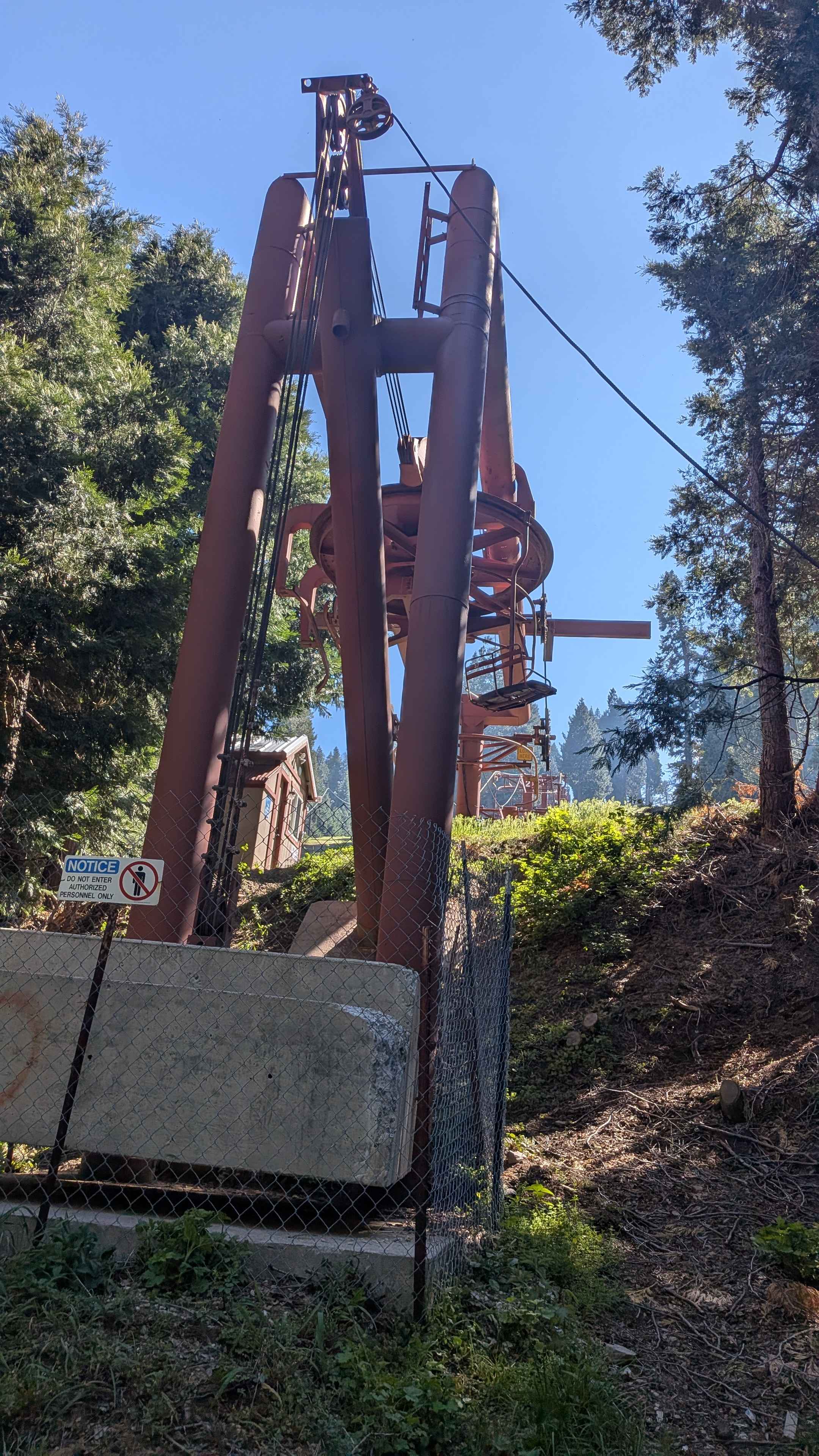
Shirley Meadows - FS 25S31
Total Miles
0.9
Tech Rating
Easy
Best Time
Fall, Summer, Spring
Learn more about Short Canyon Road - BLM SE138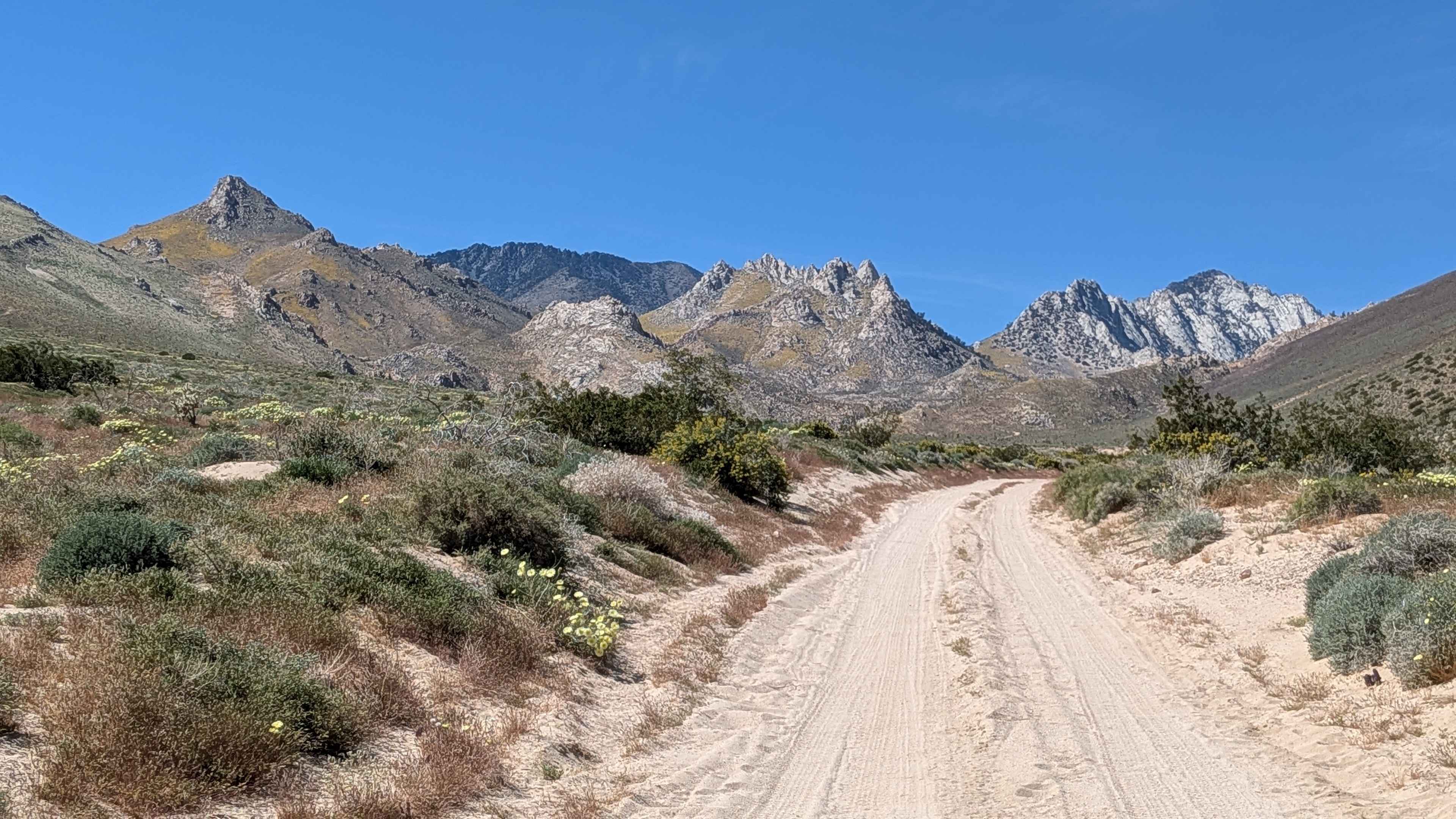
Short Canyon Road - BLM SE138
Total Miles
1.6
Tech Rating
Easy
Best Time
Summer, Fall, Spring
Learn more about Short Canyon Trailhead - BLM SE139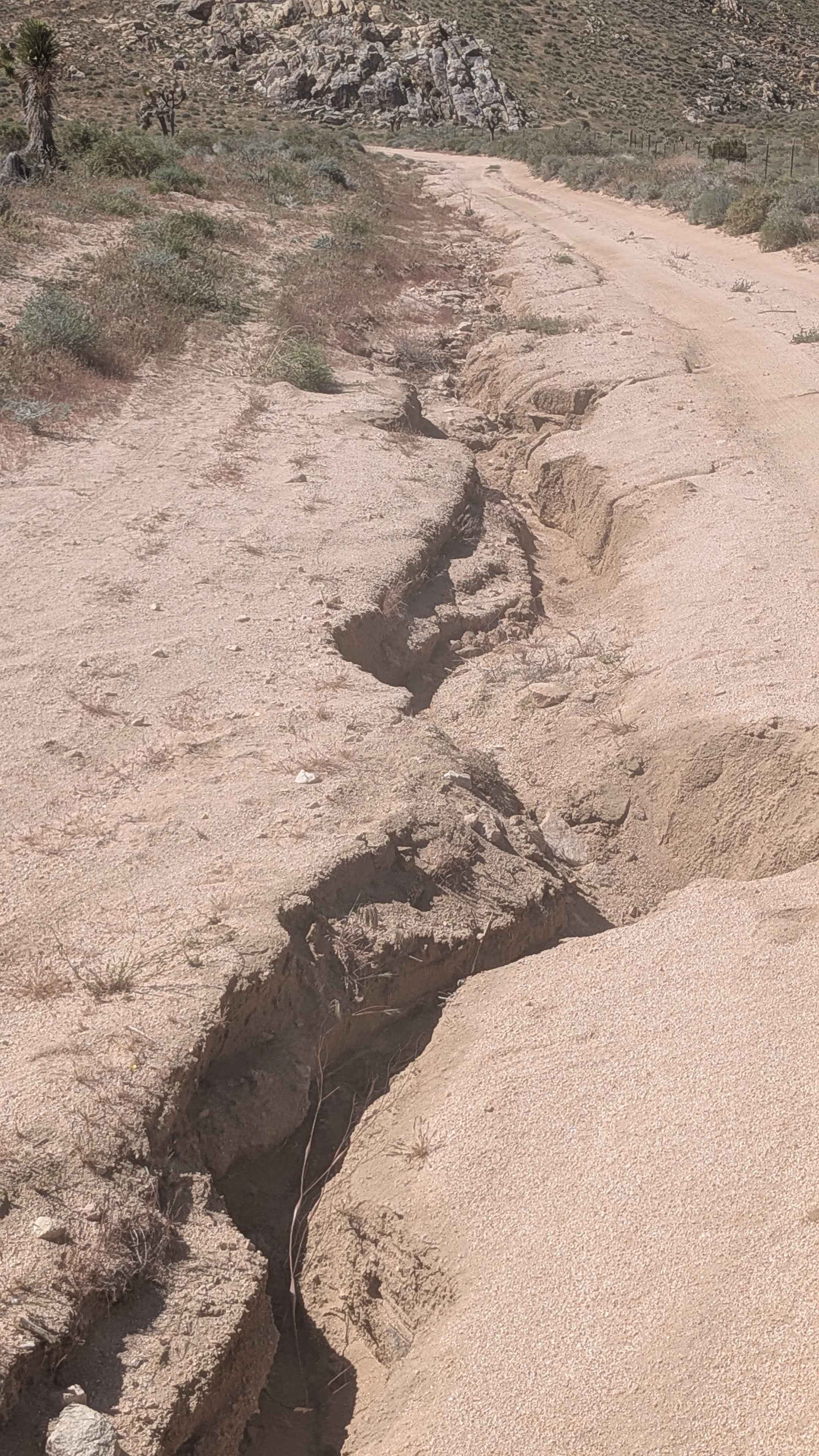
Short Canyon Trailhead - BLM SE139
Total Miles
1.3
Tech Rating
Easy
Best Time
Fall, Summer, Spring
Learn more about Short Wheelbase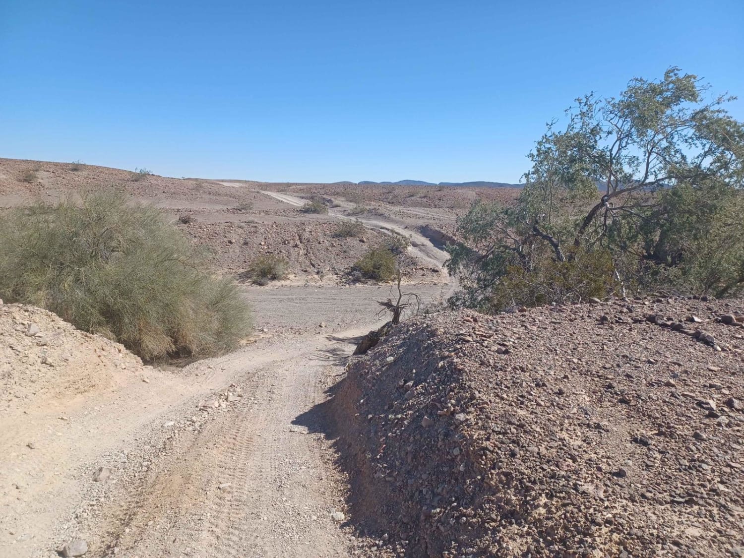
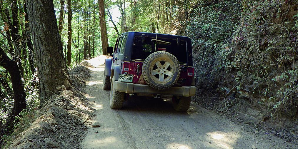
Short Wheelbase
Total Miles
4.2
Tech Rating
Easy
Best Time
Spring, Summer, Fall
Learn more about Shortcut - FS 96-034
Shortcut - FS 96-034
Total Miles
1.5
Tech Rating
Easy
Best Time
Spring, Summer, Fall
Learn more about Siberia Creek - FS 2N97
Siberia Creek - FS 2N97
Total Miles
0.9
Tech Rating
Easy
Best Time
Spring, Summer, Fall
Learn more about Sidewinder OHV Trail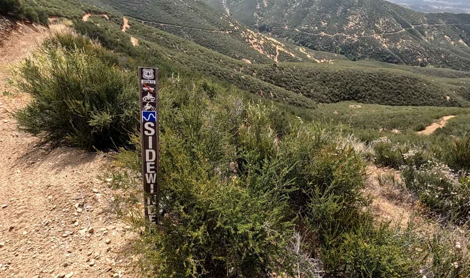
Sidewinder OHV Trail
Total Miles
1.3
Tech Rating
Moderate
Best Time
Spring, Fall, Winter
Learn more about Sidewinder Road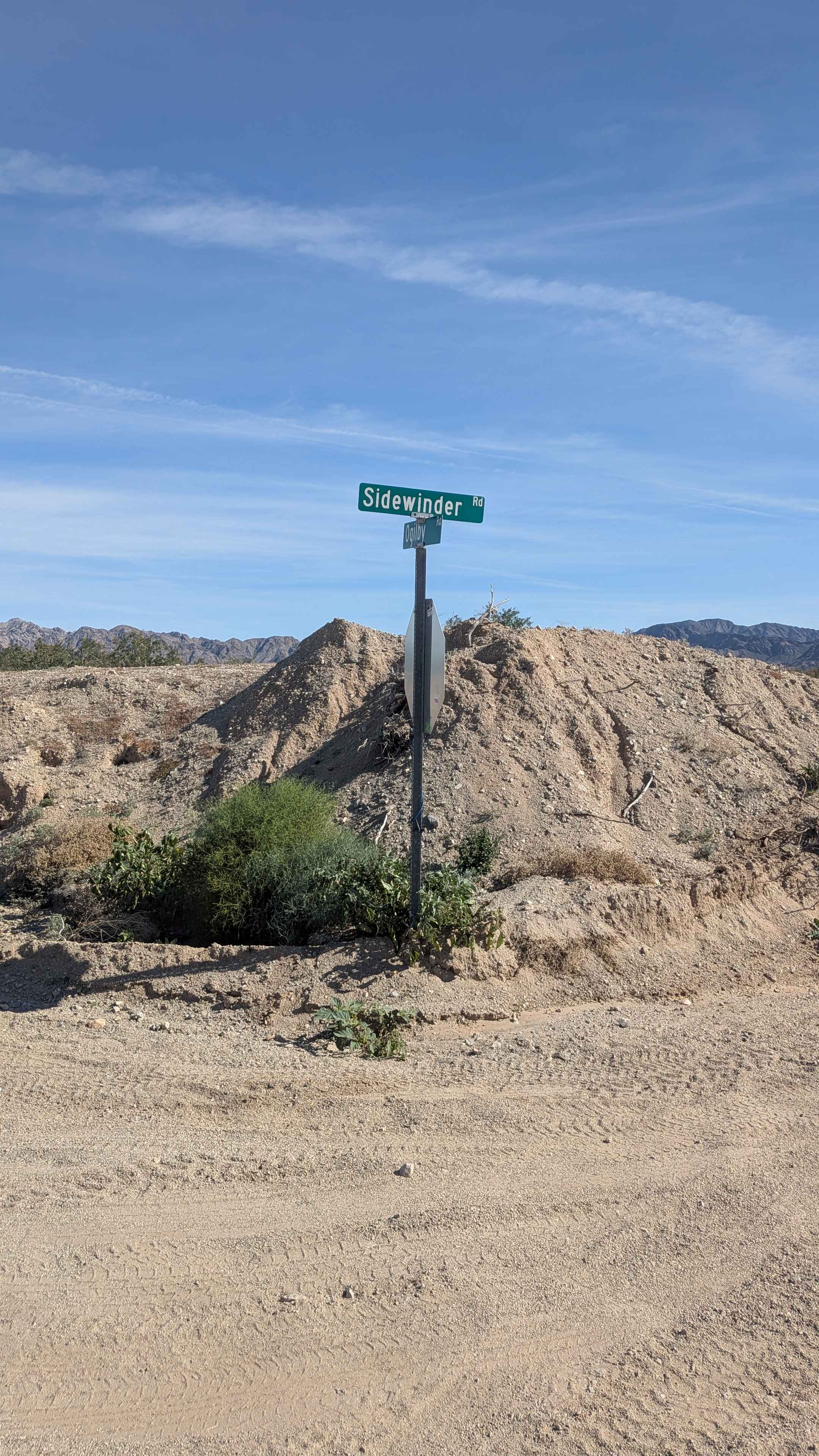
Sidewinder Road
Total Miles
2.4
Tech Rating
Easy
Best Time
Winter, Fall, Spring
Learn more about Sidewinder Road to Picacho Wash
Sidewinder Road to Picacho Wash
Total Miles
16.7
Tech Rating
Moderate
Best Time
Spring, Fall, Winter
Learn more about Sidewinder Trail
Sidewinder Trail
Total Miles
0.7
Tech Rating
Difficult
Best Time
Spring, Summer, Fall, Winter
Learn more about Sierra OHV Trail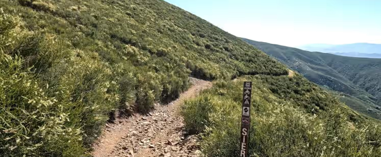
Sierra OHV Trail
Total Miles
2.4
Tech Rating
Moderate
Best Time
Spring, Fall, Winter
Learn more about Sierra Pelona Ridge/Rowher OHV
Sierra Pelona Ridge/Rowher OHV
Total Miles
14.4
Tech Rating
Easy
Best Time
Winter, Spring, Summer, Fall
Learn more about Sierra Sidewinder Trail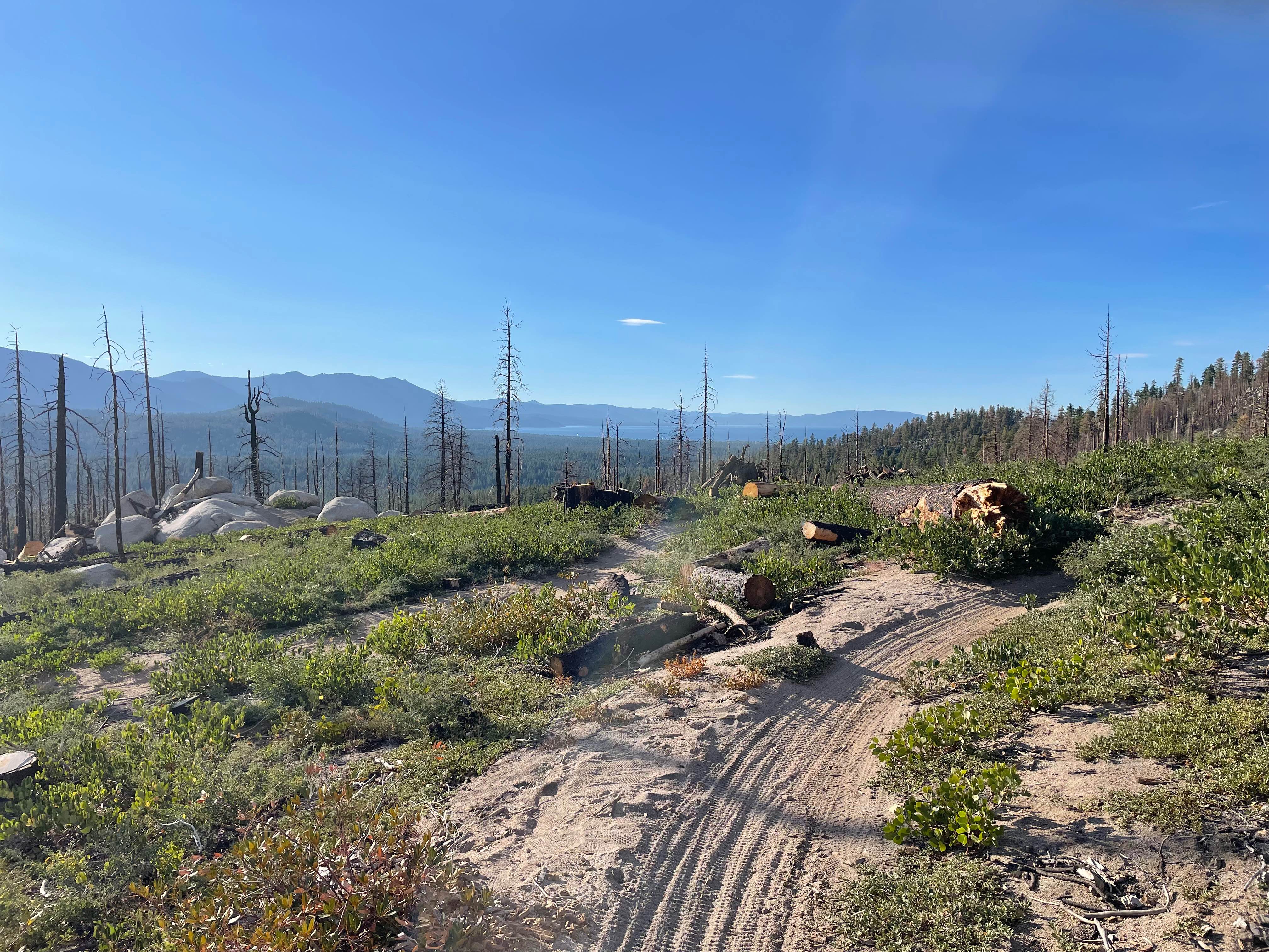
Sierra Sidewinder Trail
Total Miles
1.2
Tech Rating
Moderate
Best Time
Spring, Summer, Fall
Learn more about Sierra View Road
Sierra View Road
Total Miles
5.5
Tech Rating
Moderate
Best Time
Fall, Summer, Spring
ATV trails in California


UTV/side-by-side trails in California


Learn more about 3N267 Fenner Saddle (4N12)
3N267 Fenner Saddle (4N12)
Total Miles
3.8
Tech Rating
Difficult
Best Time
Spring, Summer, Fall, Winter

The onX Offroad Difference
onX Offroad combines trail photos, descriptions, difficulty ratings, width restrictions, seasonality, and more in a user-friendly interface. Available on all devices, with offline access and full compatibility with CarPlay and Android Auto. Discover what you’re missing today!