2 trails found in California
Which "signal peak" are you looking for?
We found 2 off-road trails in California matching your search. Pick the one you're looking for below.
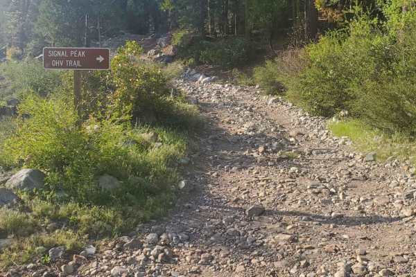
Signal Peak
Signal Peak is neither "easy" nor "beginner", despite being deemed so by many locals in comparison to the Fordyce trail - which also begins from the Pierce Meadow Staging Area. It is recommended to have experience, equipment, and a vehicle capable of handling multiple surface types. While the terrai...
Learn more about Signal Peak
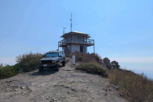
Signal Peak - FS 4S031A
This 1.2-mile spur is a short, intense climb that dramatically departs from the easier roads below to reach a great viewpoint of the surrounding Sierra and the valley below. Branching off Dobler Meadow, the trail immediately tilts upward, becoming a steep, loose, and rocky two-track that winds throu...
Learn more about Signal Peak - FS 4S031A