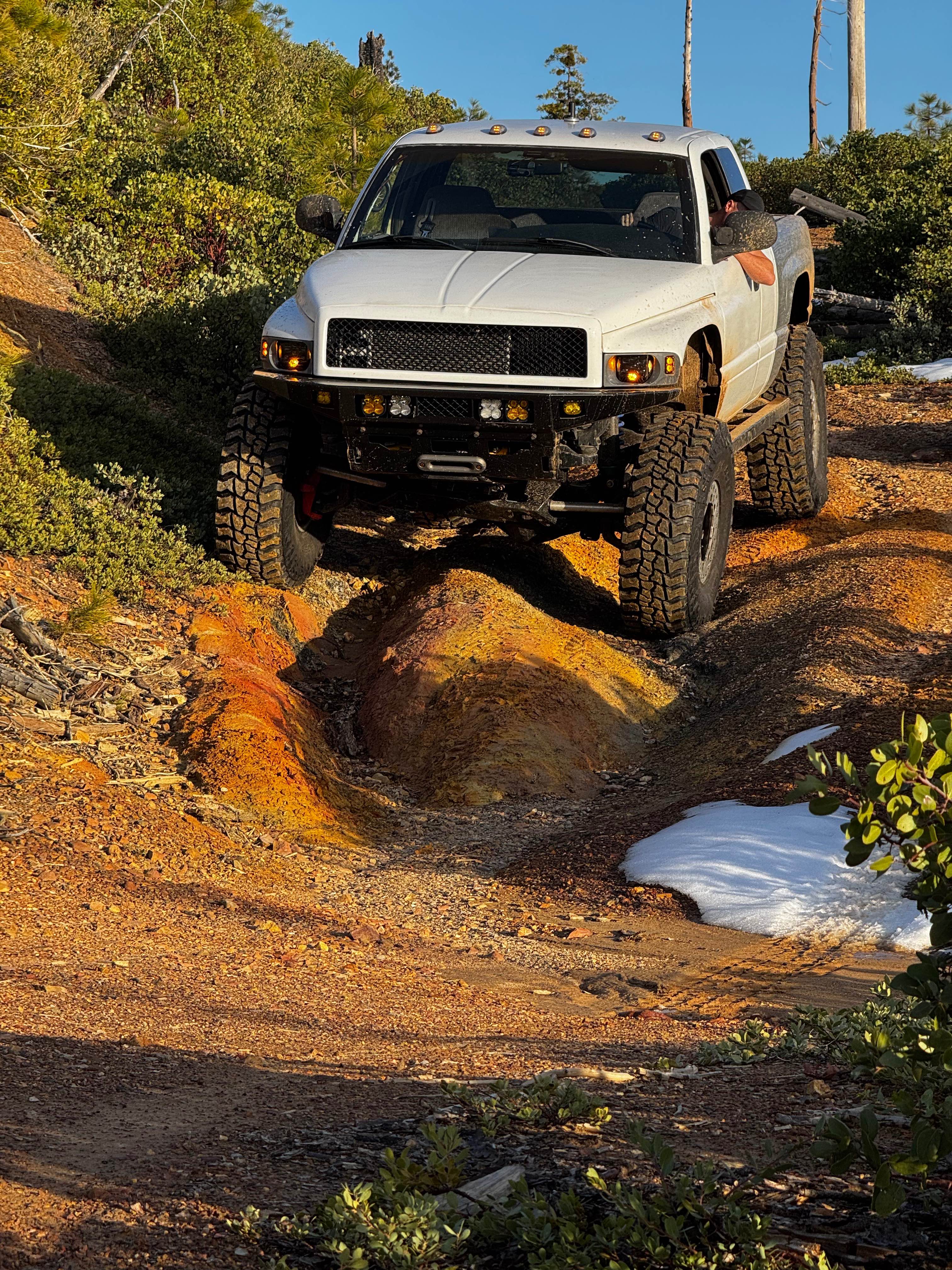
Off-Road Trails in California
Discover off-road trails in California
Learn more about Secret Ridge Route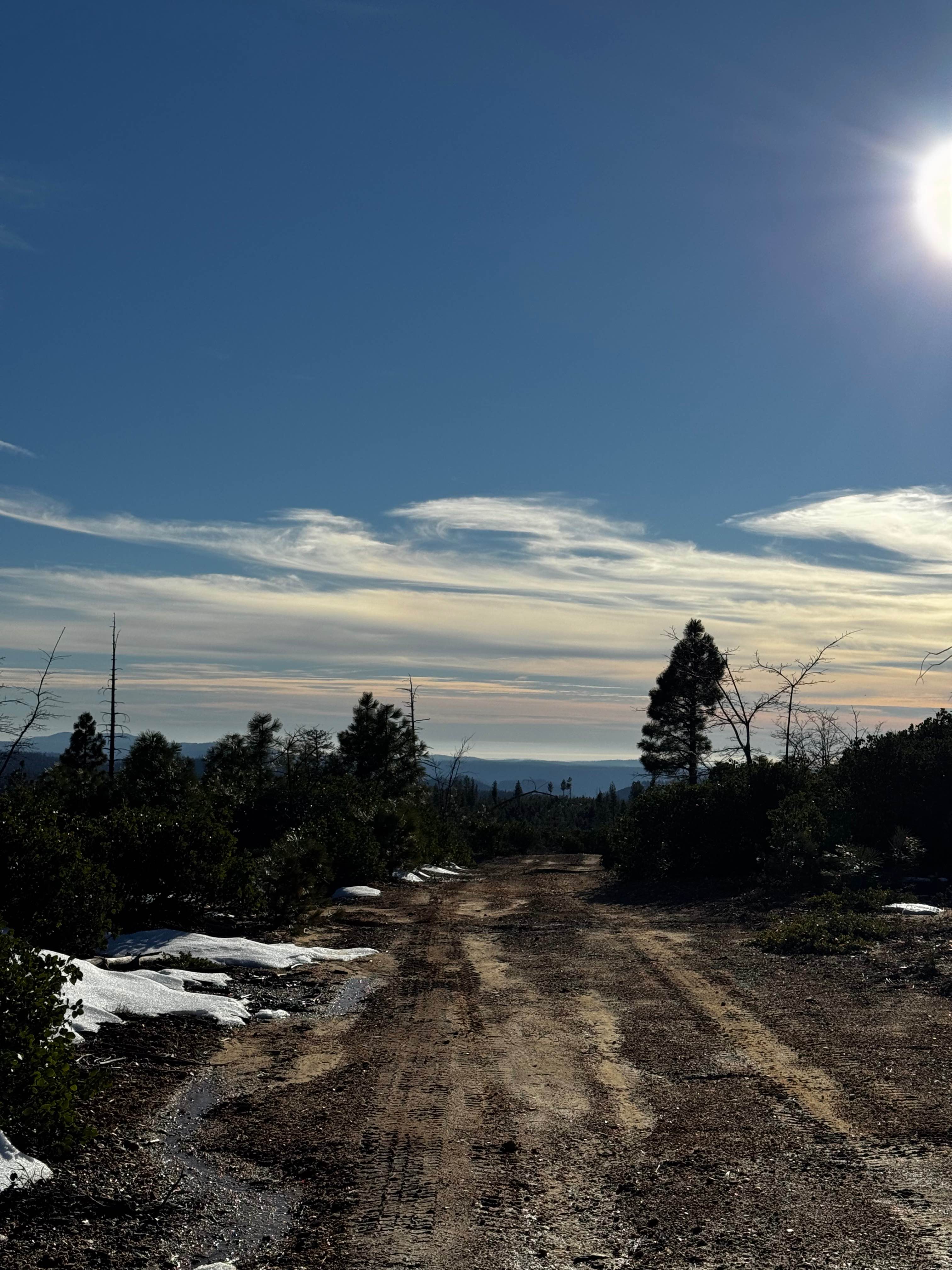
Secret Ridge Route
Total Miles
2.6
Tech Rating
Easy
Best Time
Spring, Summer, Fall
Learn more about Section 36 - FS 6S026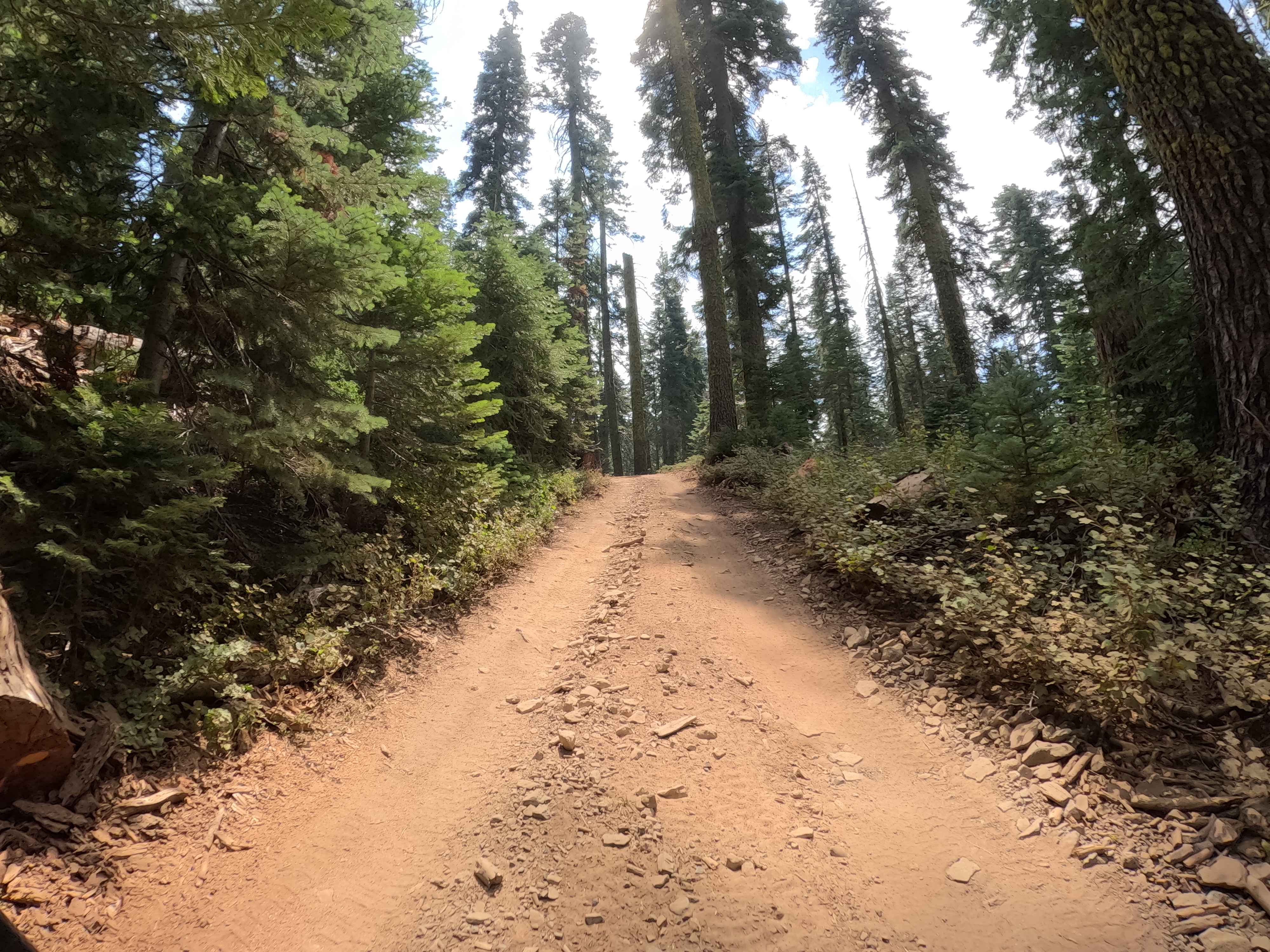
Section 36 - FS 6S026
Total Miles
2.5
Tech Rating
Easy
Best Time
Summer, Fall
Learn more about Senator Wash/Cistern Road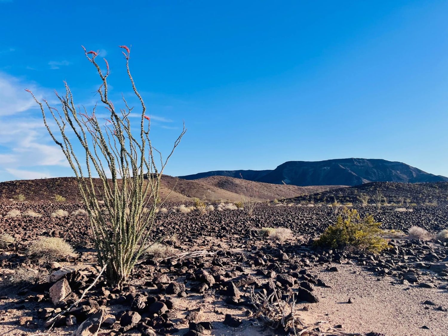
Senator Wash/Cistern Road
Total Miles
3.7
Tech Rating
Moderate
Best Time
Spring, Fall
Learn more about Seven Rocks - FS 7S94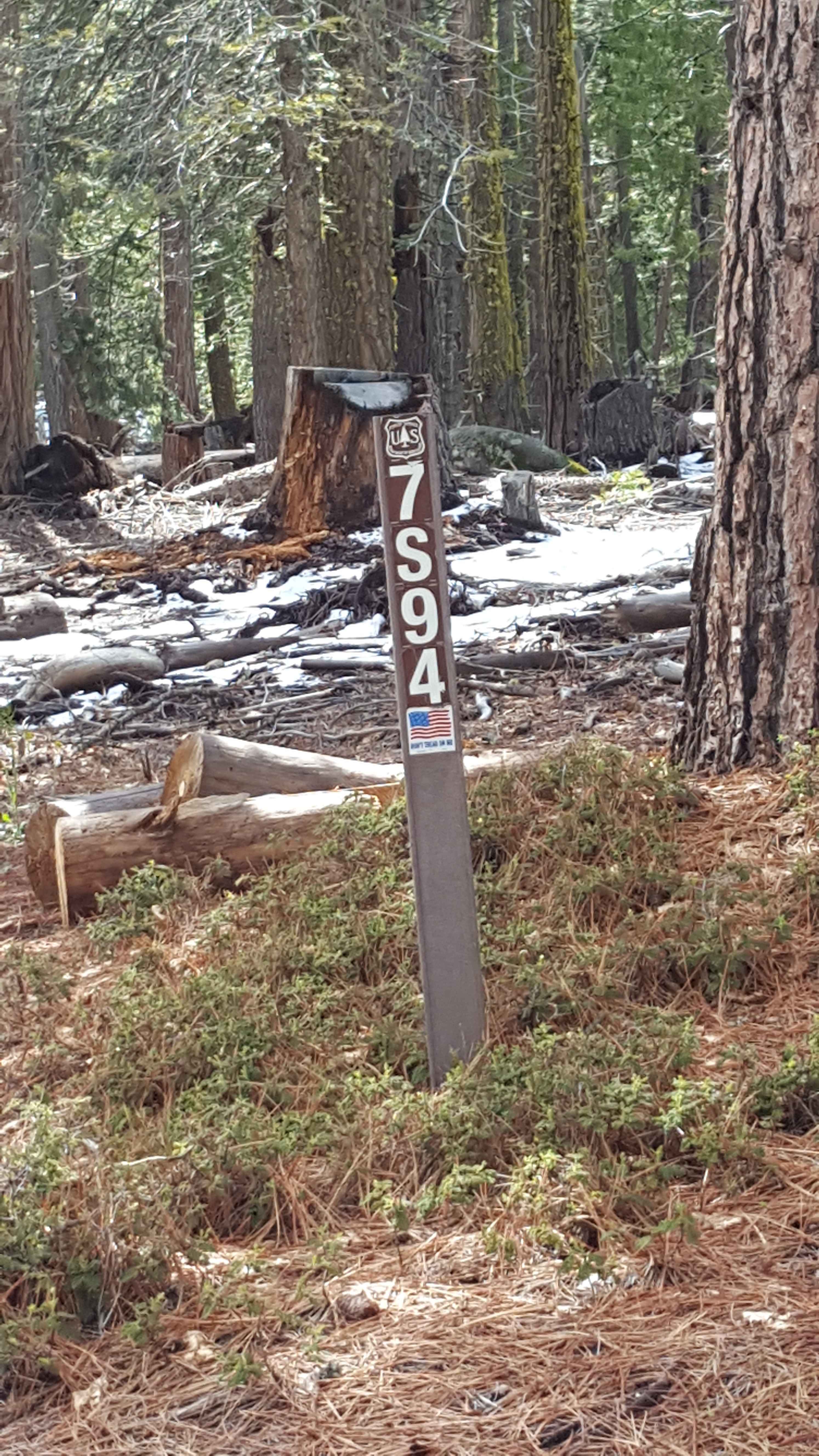
Seven Rocks - FS 7S94
Total Miles
4.5
Tech Rating
Easy
Best Time
Spring, Summer, Fall
Learn more about Seymour Creek - FS 8N05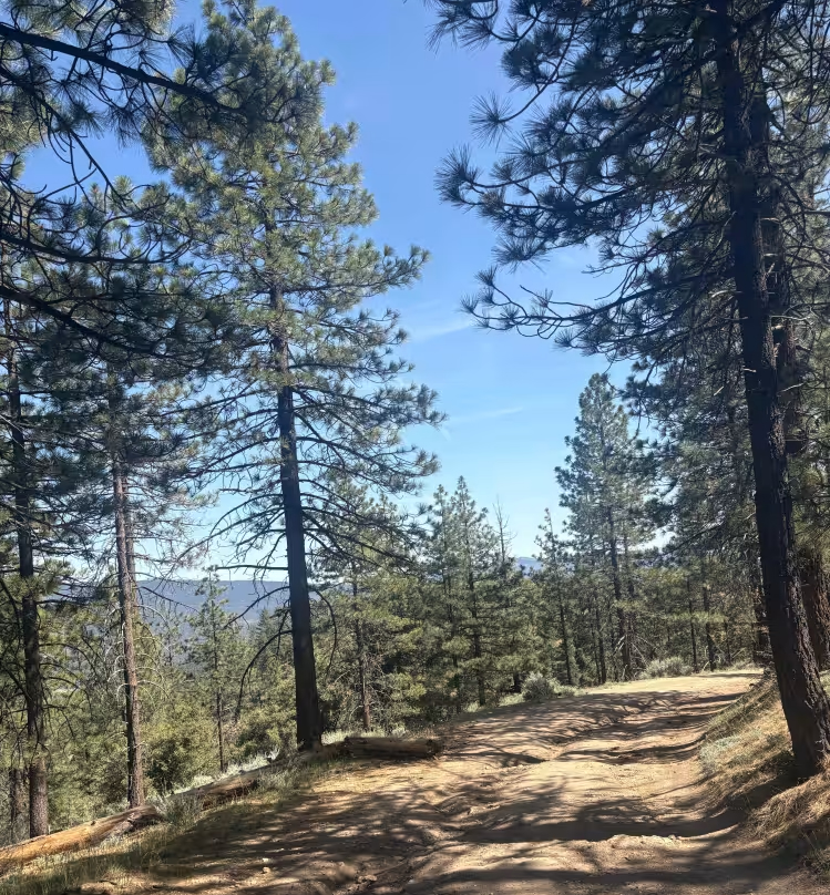
Seymour Creek - FS 8N05
Total Miles
11.5
Tech Rating
Easy
Best Time
Spring, Summer, Fall
Learn more about Shady Rest Park Overlook
Shady Rest Park Overlook
Total Miles
1.0
Tech Rating
Easy
Best Time
Fall, Summer, Spring
Learn more about Shale Ridge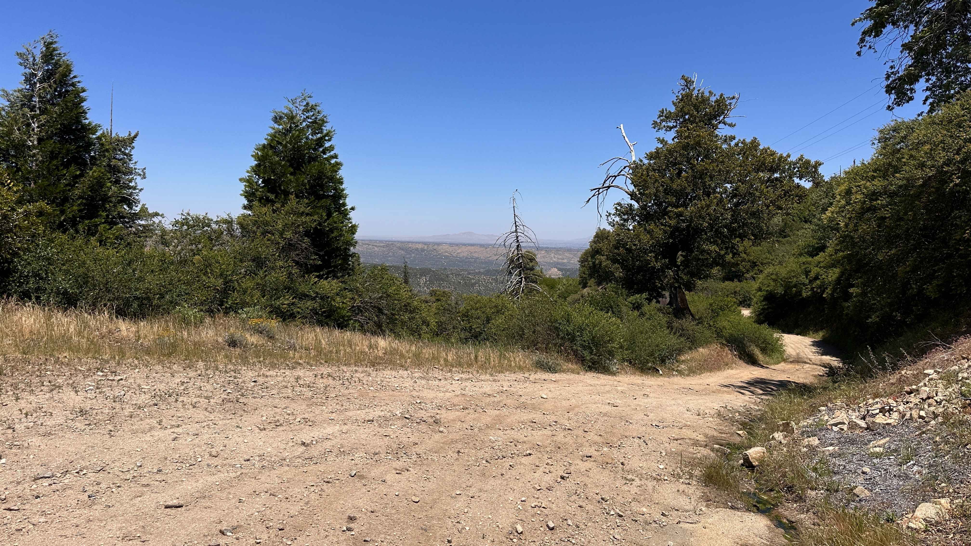
Shale Ridge
Total Miles
0.9
Tech Rating
Moderate
Best Time
Spring, Summer, Fall
Learn more about Sharks - FS 5S057
Sharks - FS 5S057
Total Miles
1.1
Tech Rating
Easy
Best Time
Summer, Fall
Learn more about Sharpless Ranch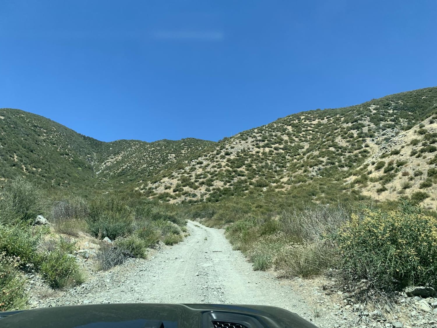
Sharpless Ranch
Total Miles
2.3
Tech Rating
Easy
Best Time
Spring, Summer, Fall
Learn more about Sheep Camp Road - FS4S03
Sheep Camp Road - FS4S03
Total Miles
8.1
Tech Rating
Easy
Best Time
Summer, Spring, Fall
Learn more about Sheep Canyon
Sheep Canyon
Total Miles
2.2
Tech Rating
Easy
Best Time
Spring, Summer, Fall, Winter

Learn more about Sheep Tank - FS 1S95
Sheep Tank - FS 1S95
Total Miles
2.2
Tech Rating
Easy
Best Time
Summer, Fall
Learn more about Shell Reef Expressway
Shell Reef Expressway
Total Miles
7.4
Tech Rating
Easy
Best Time
Spring, Summer, Fall, Winter
Learn more about Shepherd Road - FS 31354
Shepherd Road - FS 31354
Total Miles
0.7
Tech Rating
Easy
Best Time
Fall, Summer
Learn more about Sherman Pass 4x4 Jeep Trail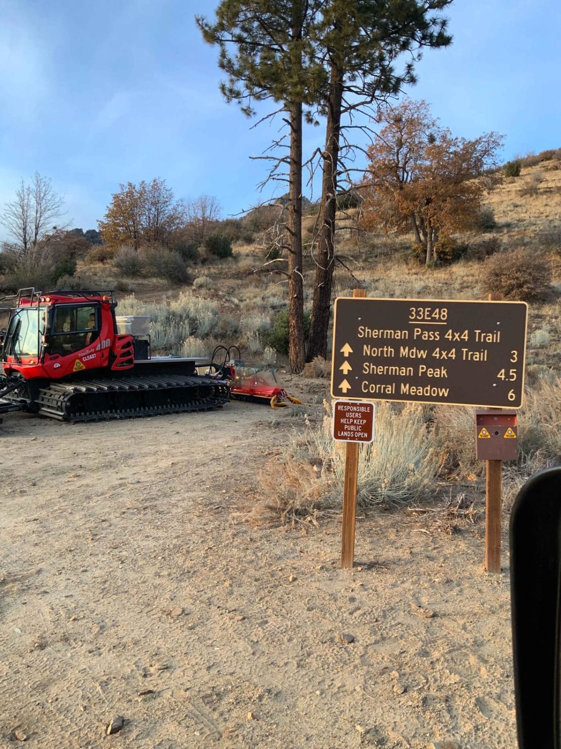
Sherman Pass 4x4 Jeep Trail
Total Miles
7.1
Tech Rating
Moderate
Best Time
Spring, Summer, Fall, Winter
Learn more about Sherwin Creek Cutoff FS 4S31
Sherwin Creek Cutoff FS 4S31
Total Miles
3.3
Tech Rating
Easy
Best Time
Fall, Summer, Spring
Learn more about Sherwin Creek Road - FS 4S08
Sherwin Creek Road - FS 4S08
Total Miles
3.8
Tech Rating
Easy
Best Time
Fall, Summer
ATV trails in California


UTV/side-by-side trails in California


Learn more about 3N267 Fenner Saddle (4N12)
3N267 Fenner Saddle (4N12)
Total Miles
3.8
Tech Rating
Difficult
Best Time
Spring, Summer, Fall, Winter

The onX Offroad Difference
onX Offroad combines trail photos, descriptions, difficulty ratings, width restrictions, seasonality, and more in a user-friendly interface. Available on all devices, with offline access and full compatibility with CarPlay and Android Auto. Discover what you’re missing today!