Sharpless Ranch
Total Miles
2.3
Technical Rating
Best Time
Spring, Summer, Fall
Trail Type
Full-Width Road
Accessible By
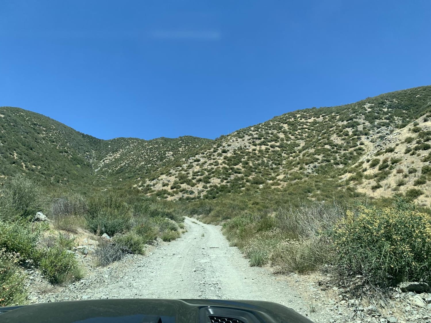
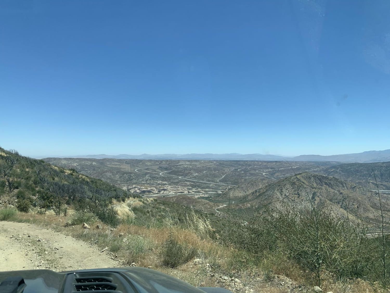
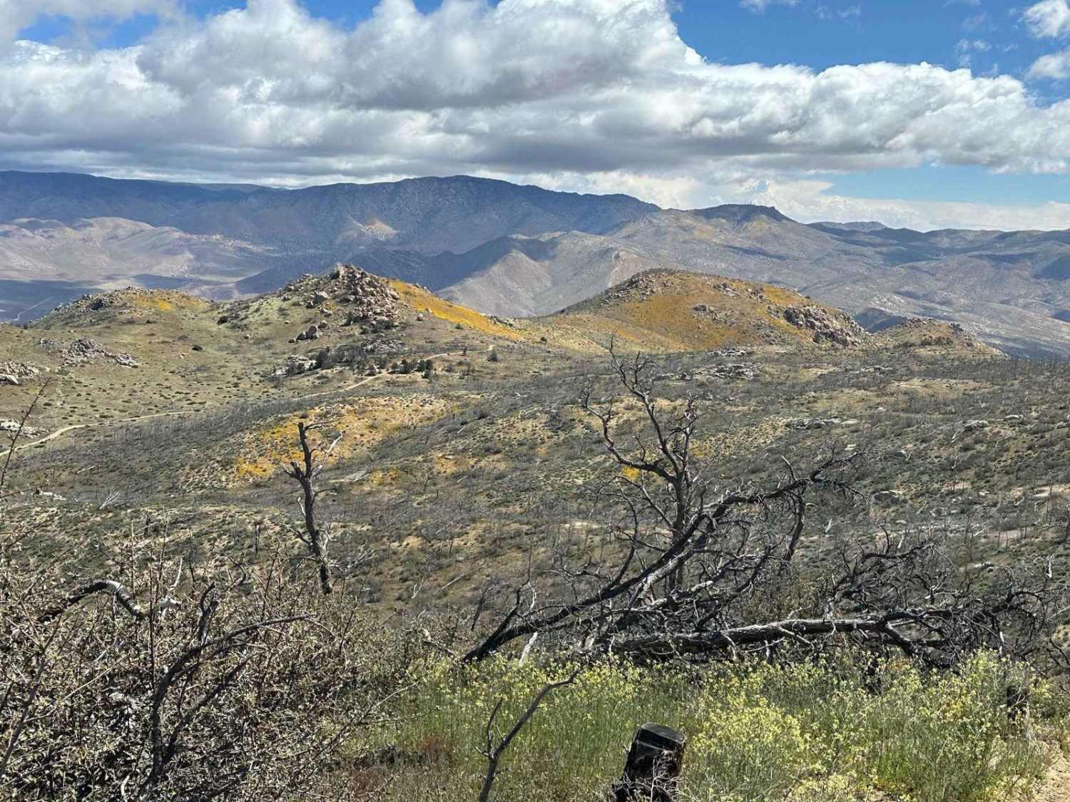
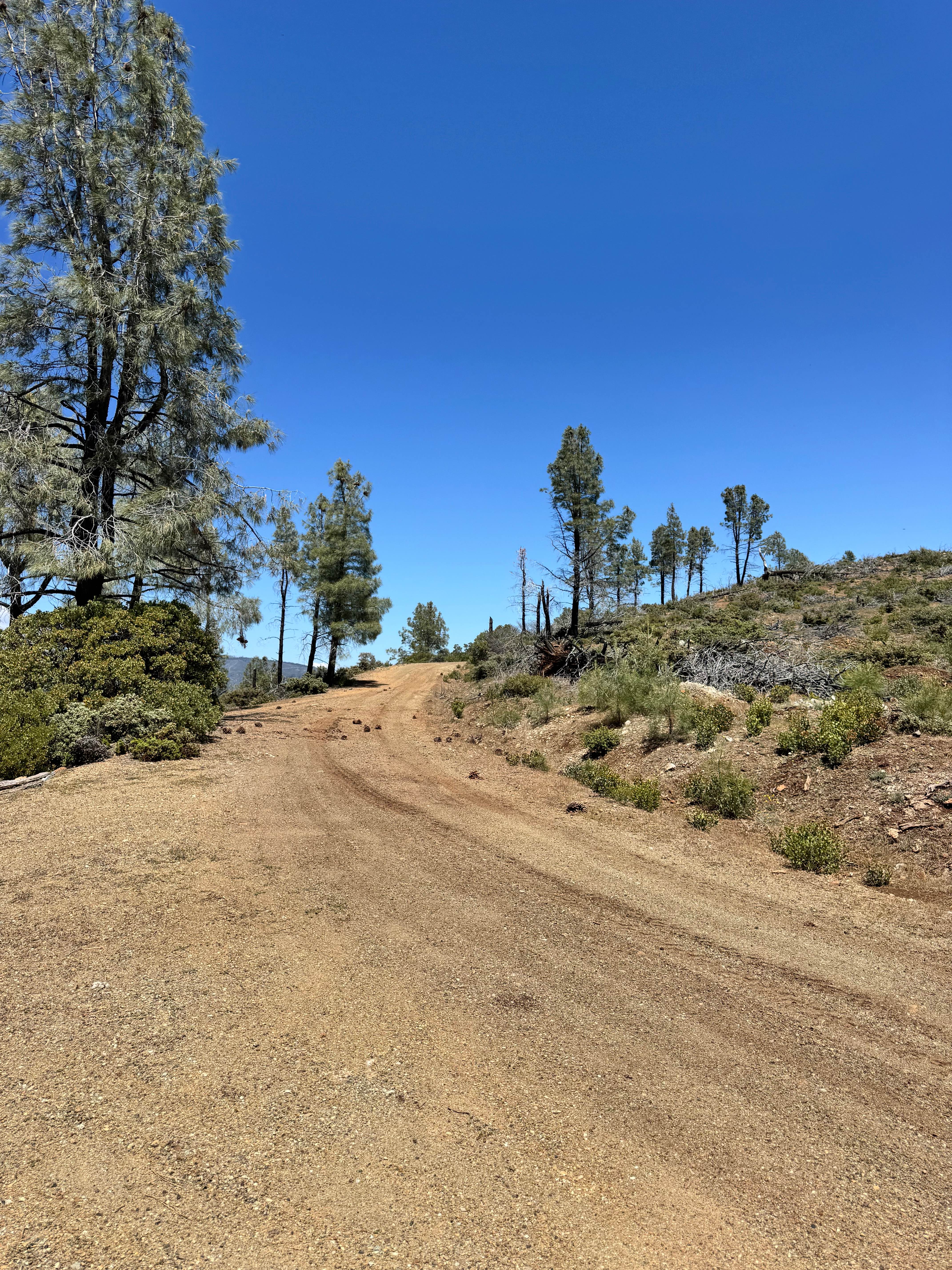
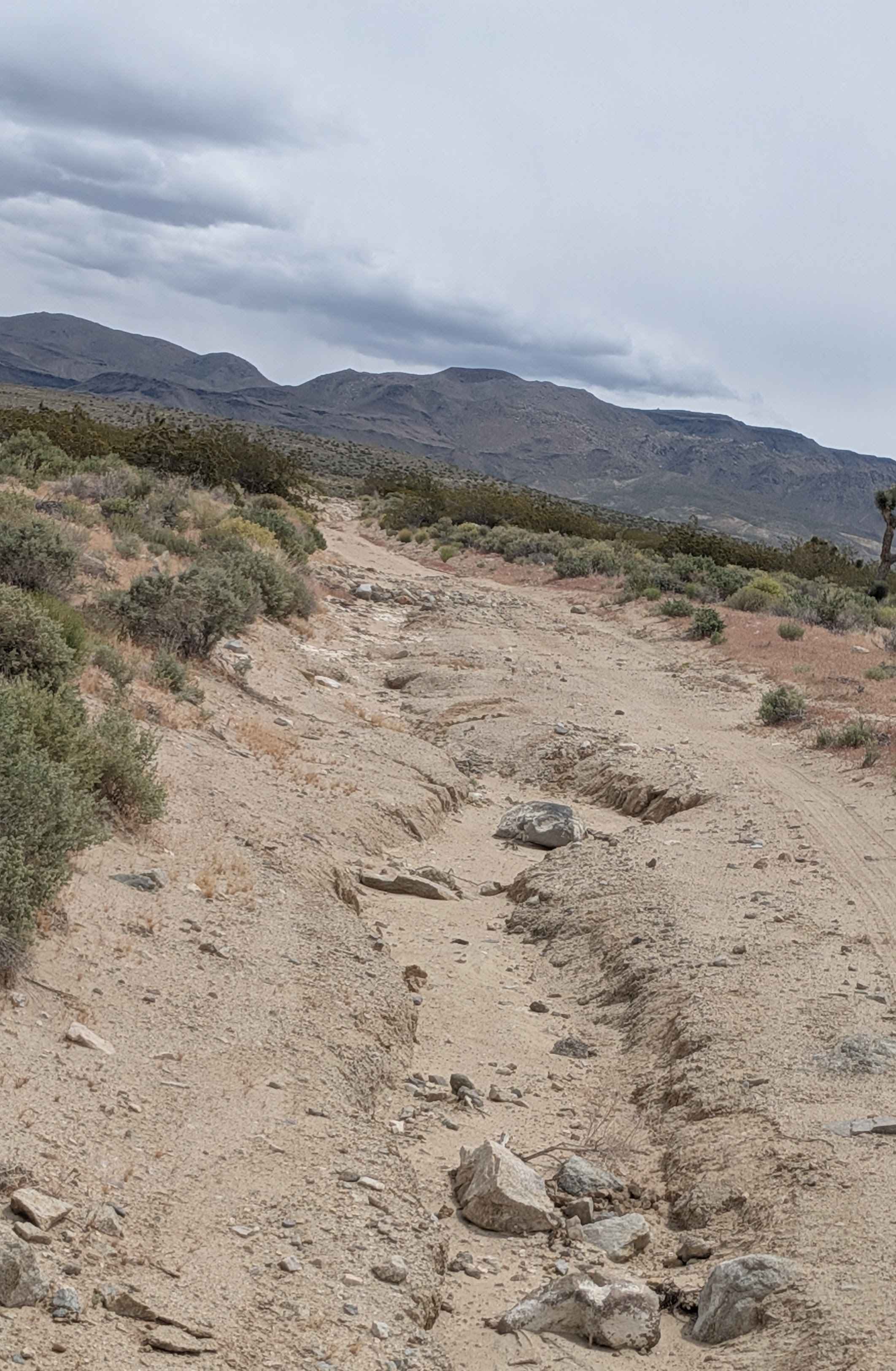
Trail Overview
This is a simple trail that leads from Lone Pine Canyon Road to Upper Lytle Creek Divide. It is an easy trail that is just a fun little uphill or downhill trail depending on direction that has some rocks and tight turns. The brush can get very overgrown on the trail and can cause some pinstriping on your vehicle. Street legal vehicles only.
Photos of Sharpless Ranch
Difficulty
While this is one vehicle wide, it is fairly easy and does have turnouts for passing.
Status Reports
Sharpless Ranch can be accessed by the following ride types:
- High-Clearance 4x4
- SUV
- Dirt Bike
Sharpless Ranch Map
Popular Trails

Superstition Mountain South
Woolstalf Meadow 34E42
Open Ridge Black Diamond West - FS 18N02
Fall Road North
The onX Offroad Difference
onX Offroad combines trail photos, descriptions, difficulty ratings, width restrictions, seasonality, and more in a user-friendly interface. Available on all devices, with offline access and full compatibility with CarPlay and Android Auto. Discover what you’re missing today!