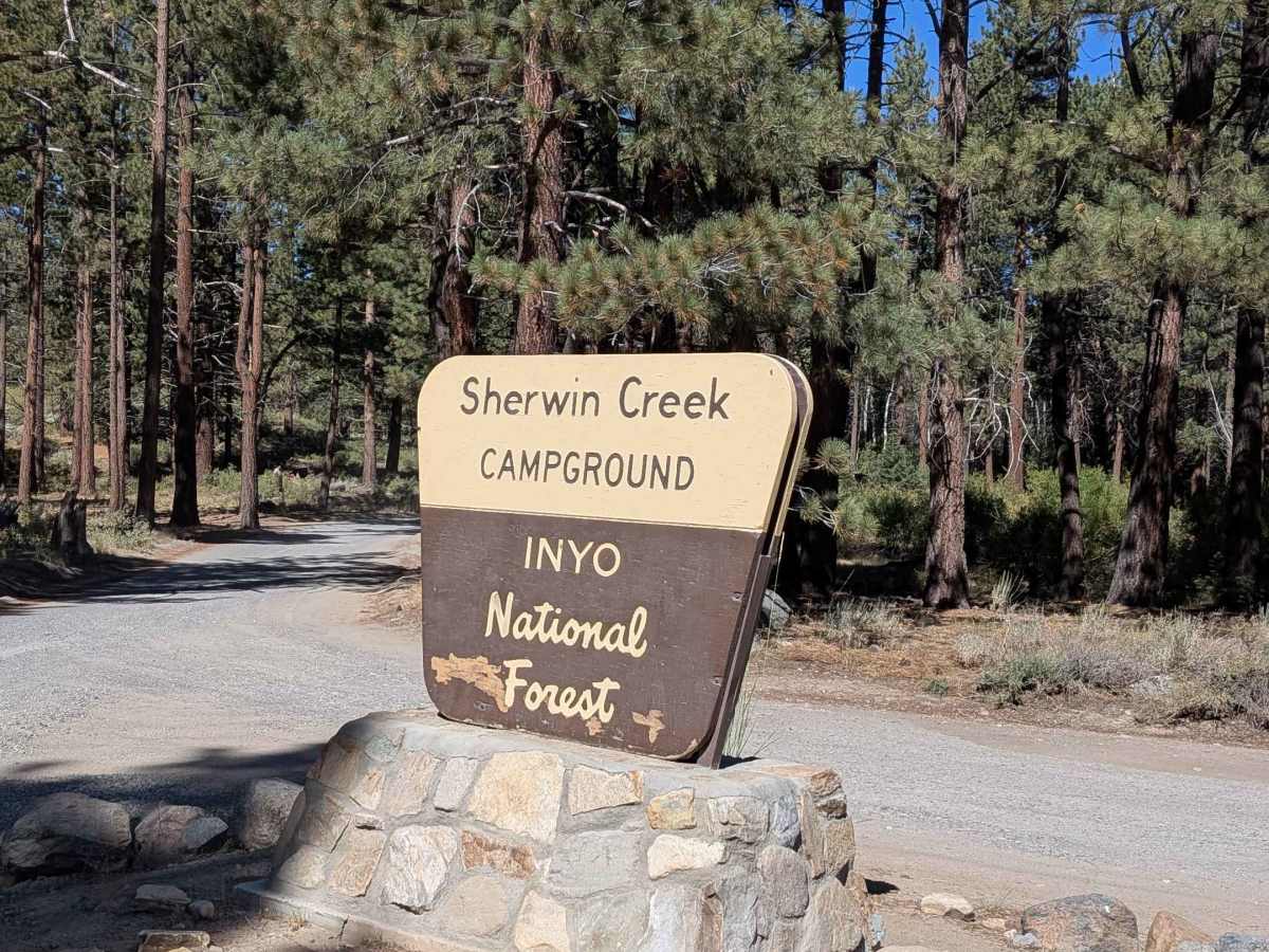
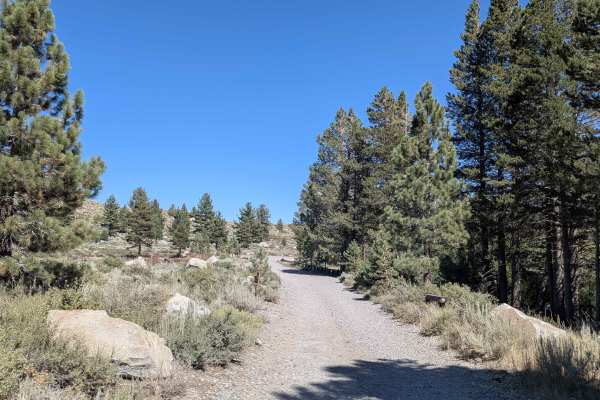
Trail Overview
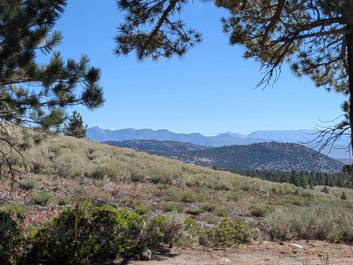
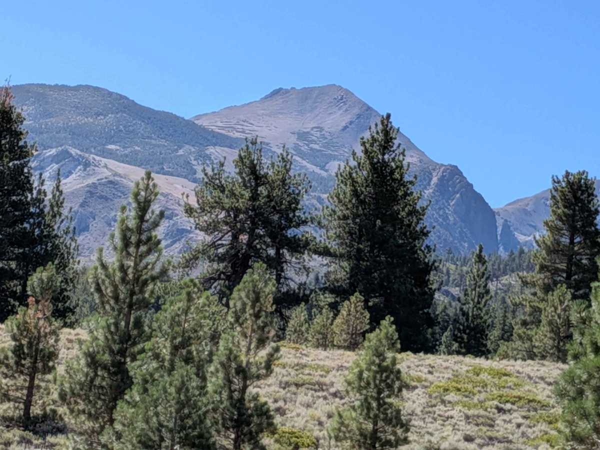
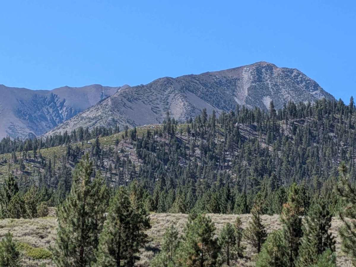
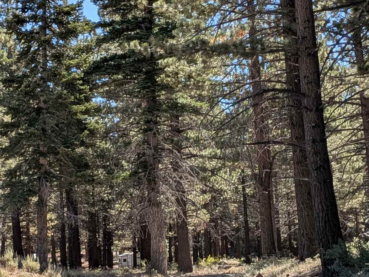
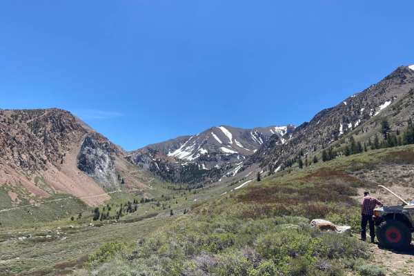
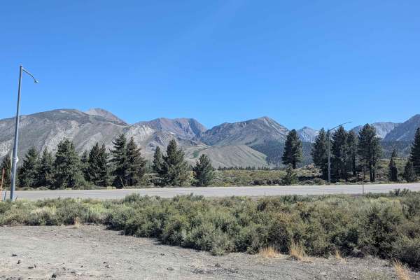
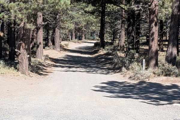
This hard-packed dirt and gravel road begins just outside Sherwin Creek Campground. The first part is surrounded by towering pine trees, offering a scenic drive through the forested lower elevations of the Eastern Sierra. The trail is fairly wide—about 2.5 vehicles across—and generally well-graded, though mud holes and ruts can form in the early spring or late fall after storms or heavy use. At approximately mile 1.75, the trail emerges from the forest into a large open meadow, and by mile two, you’re treated to sweeping views of the White Mountains, Glass Mountains, and the Eastern Sierra skyline, including Mammoth Mountain, The Minarets, Banner Peak, and Mount Ritter—especially stunning when snowcapped. A few spur trails break off the main road, including access to the Laurel Lakes Trail, a popular off-road destination. Note that dispersed camping is now closed in many forested areas. The YMCA High Sierra Camp is also located nearby (private access only).
Seasonal Note: This trail may close during winter due to snow, and fire bans are common starting in early summer—check local regulations before heading out.
Difficulty
This is a beginner-friendly trail ideal for stock SUVs, trucks, and crossovers with decent ground clearance. The road is typically graded a few times per year, making for a smooth ride, but potholes and muddy patches are common in spring. While not technical, drivers should still be cautious of standing water and potholes after storms. The trail is passable in dry conditions with 2WD, though 4WD is helpful during wet seasons.