Off-Road Trails in California
Discover off-road trails in California

Learn more about Rubicon Trail Foundation Access Road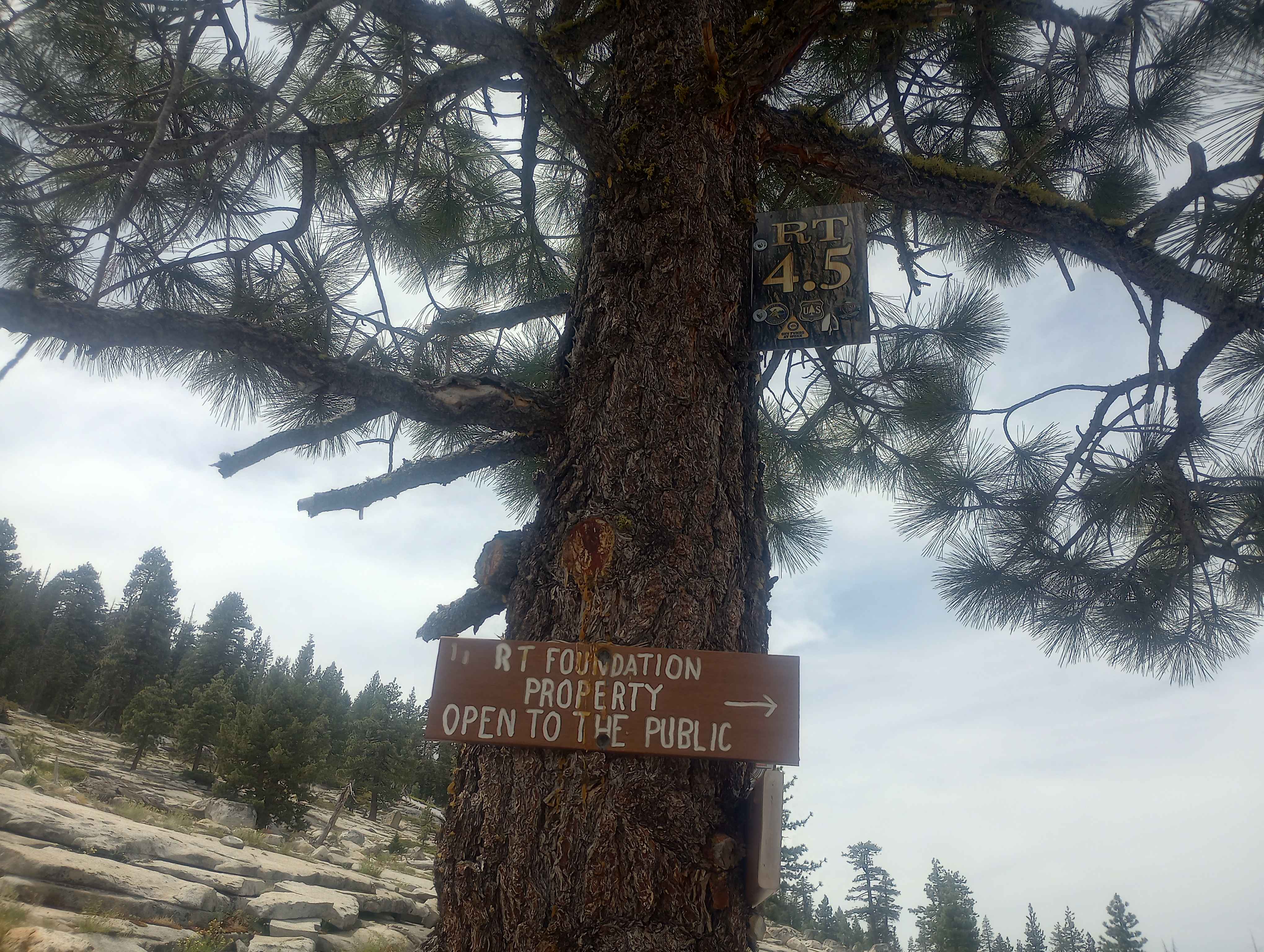
Rubicon Trail Foundation Access Road
Total Miles
0.8
Tech Rating
Difficult
Best Time
Summer, Fall
Learn more about Rubicon, East Side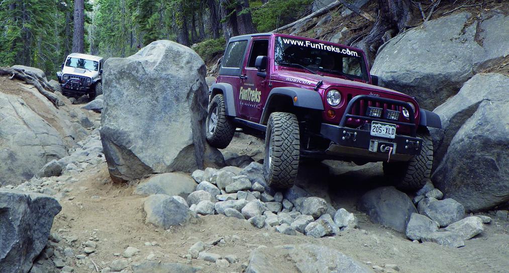
Rubicon, East Side
Total Miles
9.9
Tech Rating
Difficult
Best Time
Summer
Learn more about Rubicon, West Side
Rubicon, West Side
Total Miles
5.4
Tech Rating
Difficult
Best Time
Summer
Learn more about Runners Row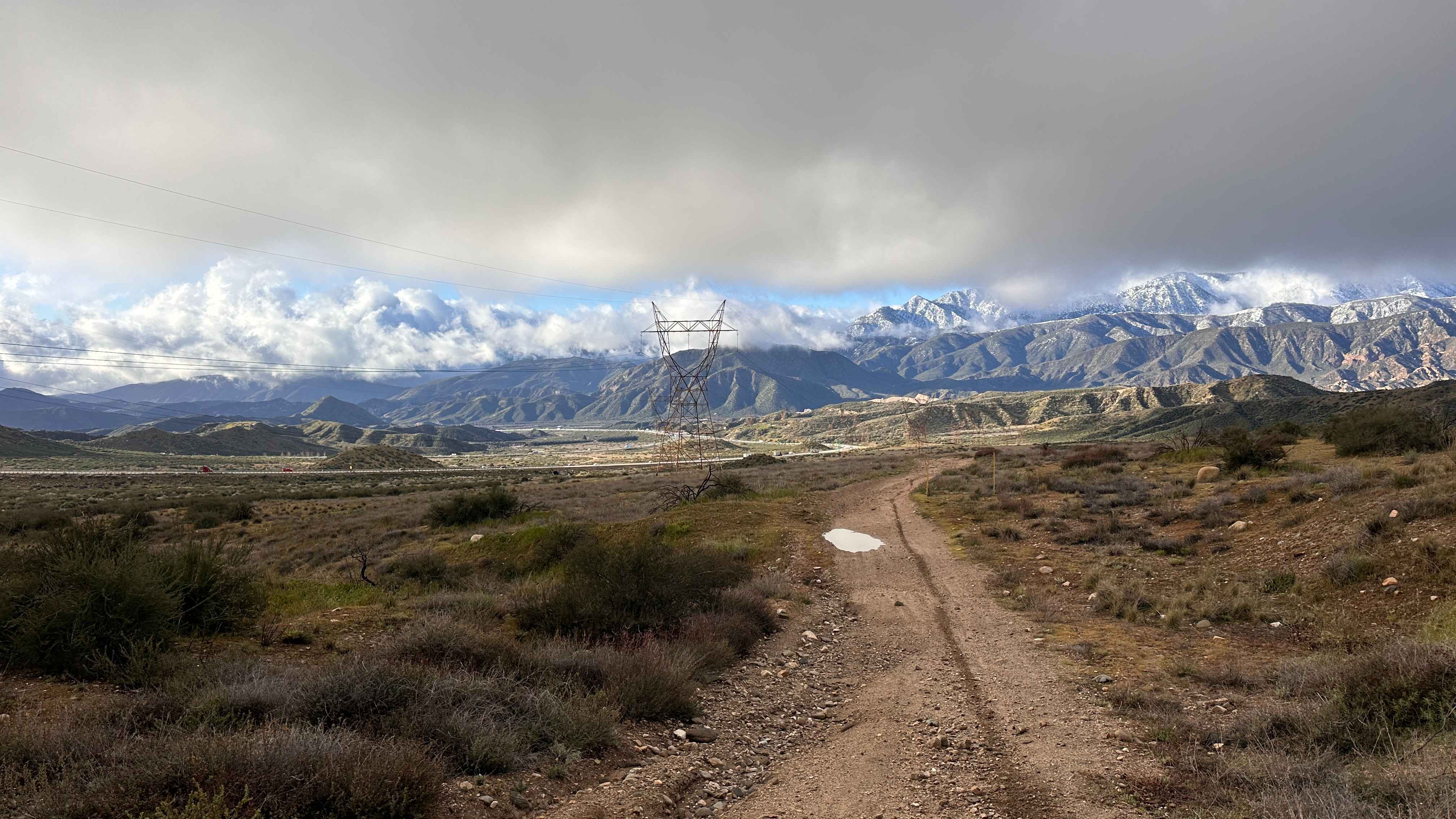
Runners Row
Total Miles
0.8
Tech Rating
Easy
Best Time
Spring, Fall, Summer, Winter
Learn more about Rush Canyon Road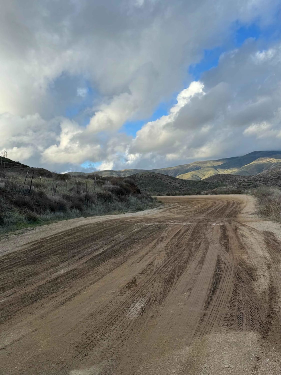
Rush Canyon Road
Total Miles
2.1
Tech Rating
Easy
Best Time
Spring, Summer, Fall, Winter
Learn more about Rush Creek Road
Rush Creek Road
Total Miles
2.5
Tech Rating
Moderate
Best Time
Summer, Fall
Learn more about Russel Camp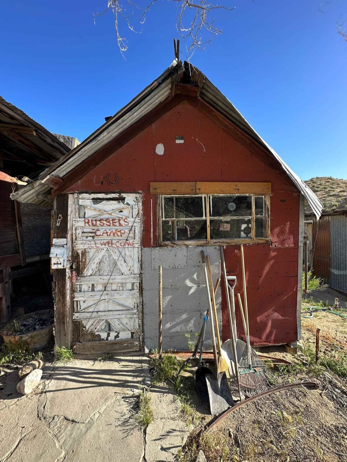
Russel Camp
Total Miles
0.8
Tech Rating
Easy
Best Time
Spring, Summer, Fall, Winter
Learn more about Ruts & Roots
Ruts & Roots
Total Miles
1.8
Tech Rating
Moderate
Best Time
Spring, Summer, Fall, Winter
Learn more about Sacotone Shootover
Sacotone Shootover
Total Miles
1.4
Tech Rating
Easy
Best Time
Fall, Winter, Spring
Learn more about Saddleback Mountain Loop
Saddleback Mountain Loop
Total Miles
15.1
Tech Rating
Easy
Best Time
Spring, Summer, Fall, Winter
Learn more about Sage Canyon Road BLM SC56
Sage Canyon Road BLM SC56
Total Miles
5.8
Tech Rating
Moderate
Best Time
Summer, Fall, Spring
Learn more about Sage Hen Meadows Road
Sage Hen Meadows Road
Total Miles
4.5
Tech Rating
Easy
Best Time
Summer, Fall, Spring
Learn more about Sage Road East - FS 32066E
Sage Road East - FS 32066E
Total Miles
1.2
Tech Rating
Easy
Best Time
Summer, Fall, Spring
Learn more about Sagebrush Run
Sagebrush Run
Total Miles
0.9
Tech Rating
Moderate
Best Time
Spring, Summer, Winter, Fall
Learn more about Saint John - FS 18N06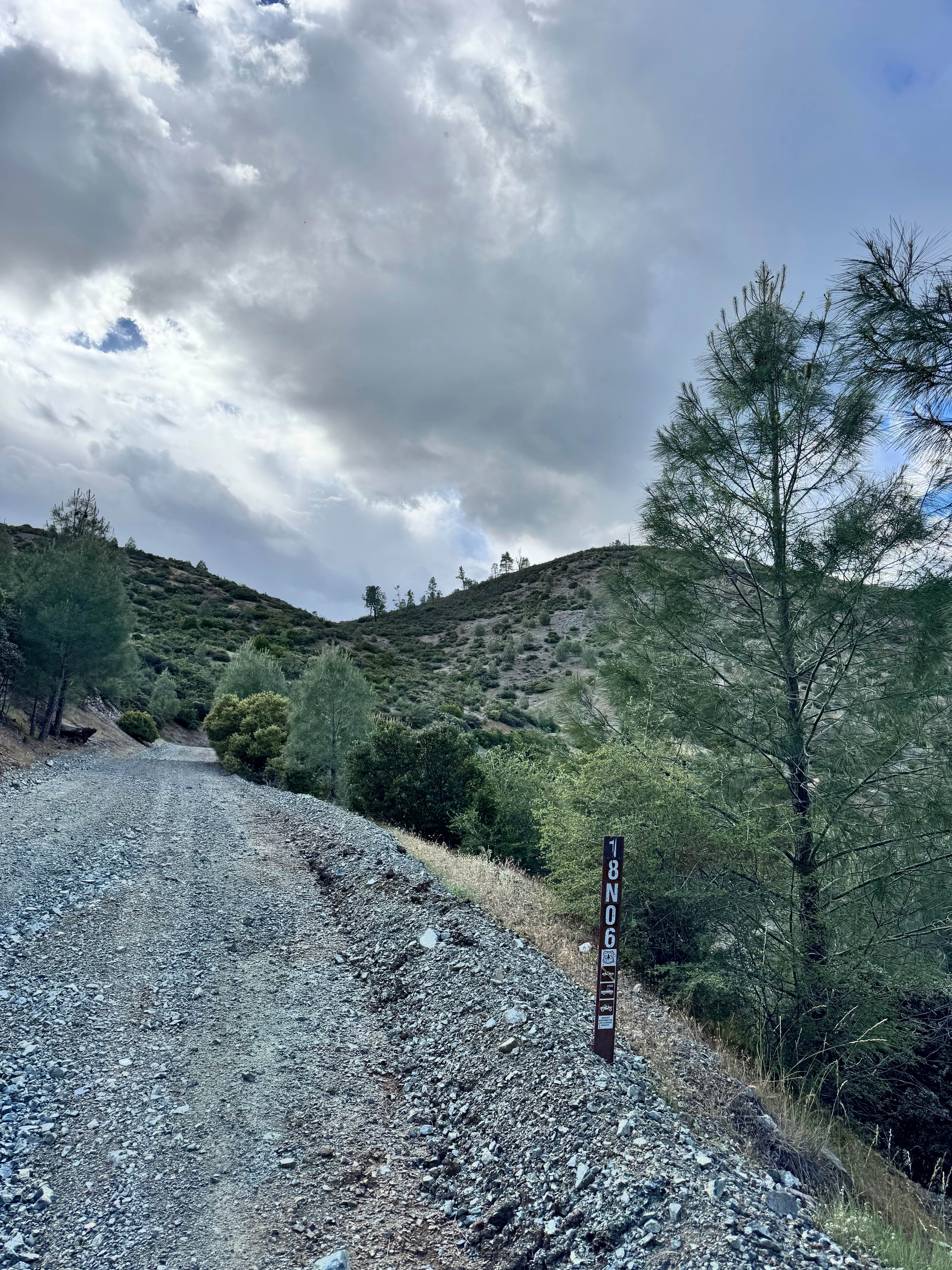
Saint John - FS 18N06
Total Miles
9.3
Tech Rating
Easy
Best Time
Spring, Summer, Fall
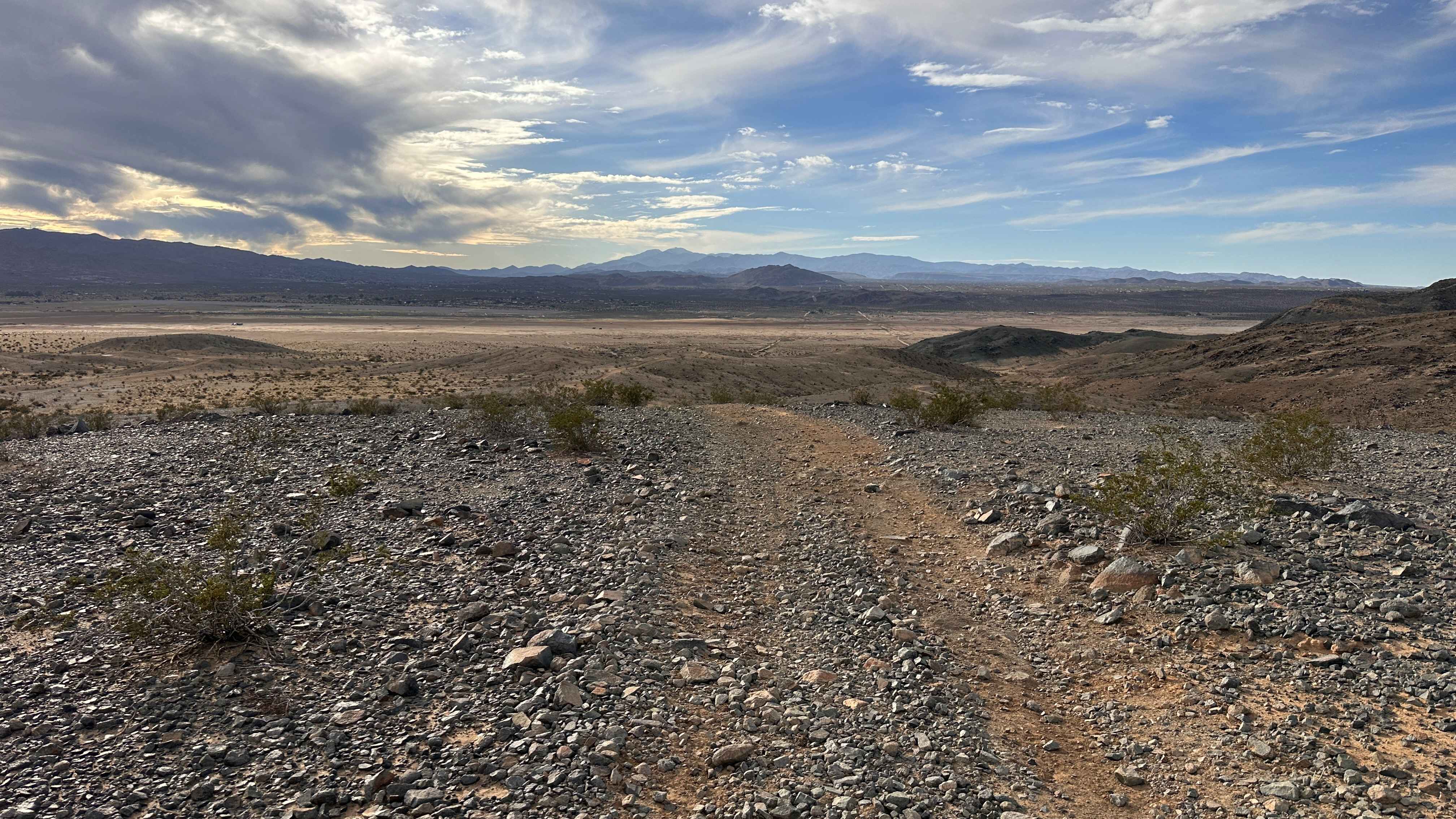
Learn more about Saline Valley Road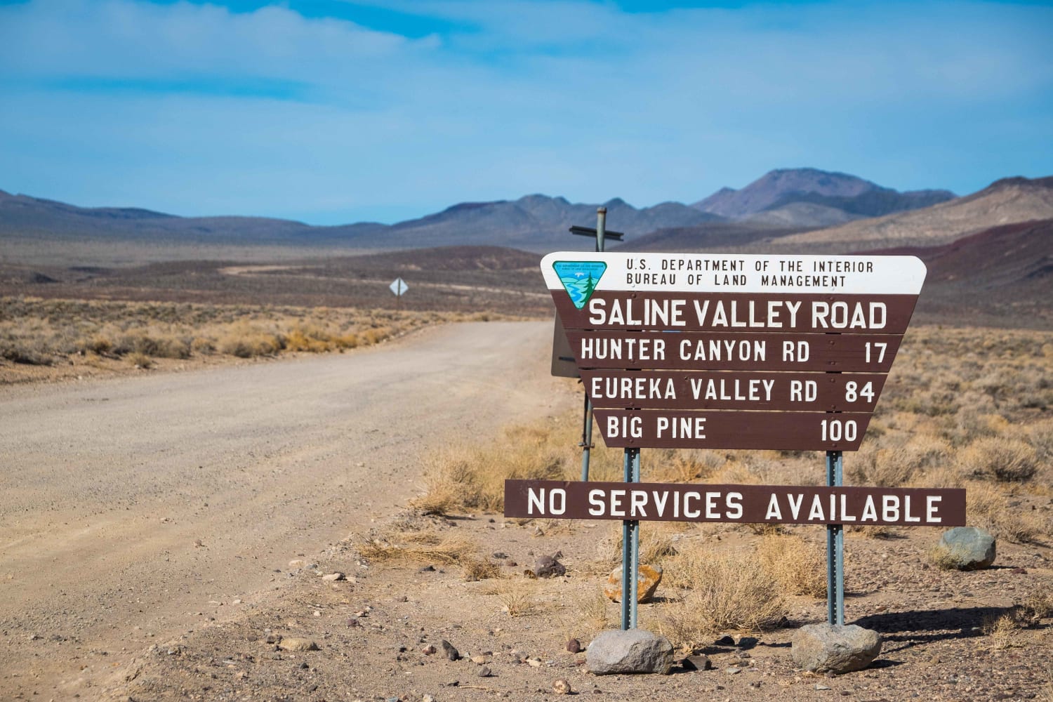
Saline Valley Road
Total Miles
78.3
Tech Rating
Easy
Best Time
Spring, Fall, Winter
Learn more about Salmon Creek FS 23S08
Salmon Creek FS 23S08
Total Miles
4.0
Tech Rating
Easy
Best Time
Fall, Summer, Spring
ATV trails in California


UTV/side-by-side trails in California


Learn more about 3N267 Fenner Saddle (4N12)
3N267 Fenner Saddle (4N12)
Total Miles
3.8
Tech Rating
Difficult
Best Time
Spring, Summer, Fall, Winter

The onX Offroad Difference
onX Offroad combines trail photos, descriptions, difficulty ratings, width restrictions, seasonality, and more in a user-friendly interface. Available on all devices, with offline access and full compatibility with CarPlay and Android Auto. Discover what you’re missing today!