Sage Road East - FS 32066E
Total Miles
1.2
Technical Rating
Best Time
Summer, Fall, Spring
Trail Type
Full-Width Road
Accessible By
Trail Overview
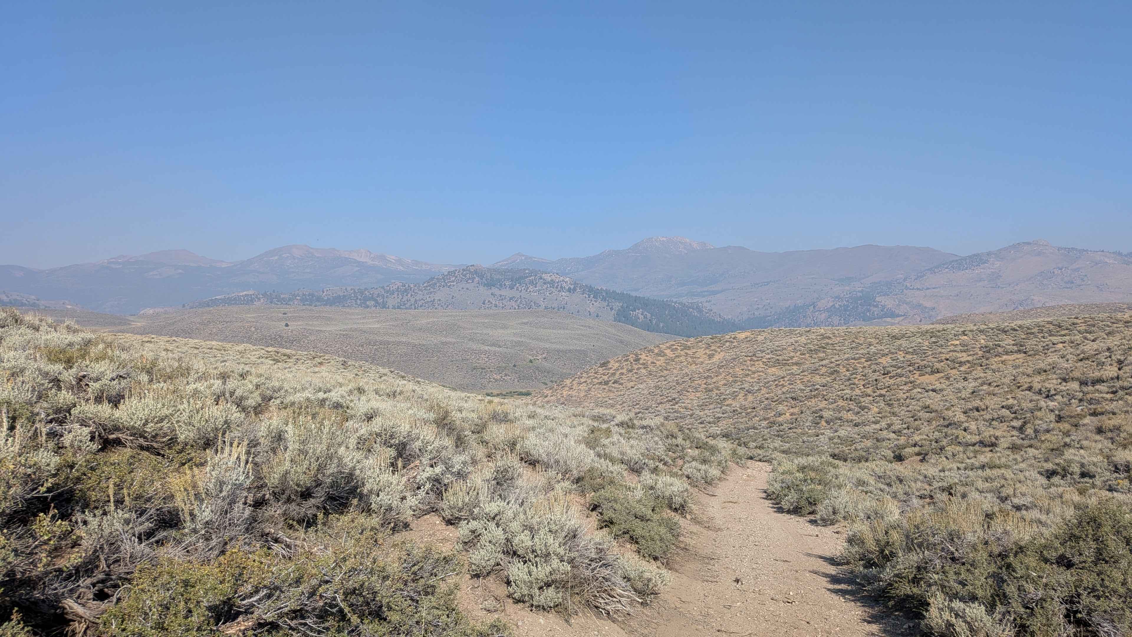
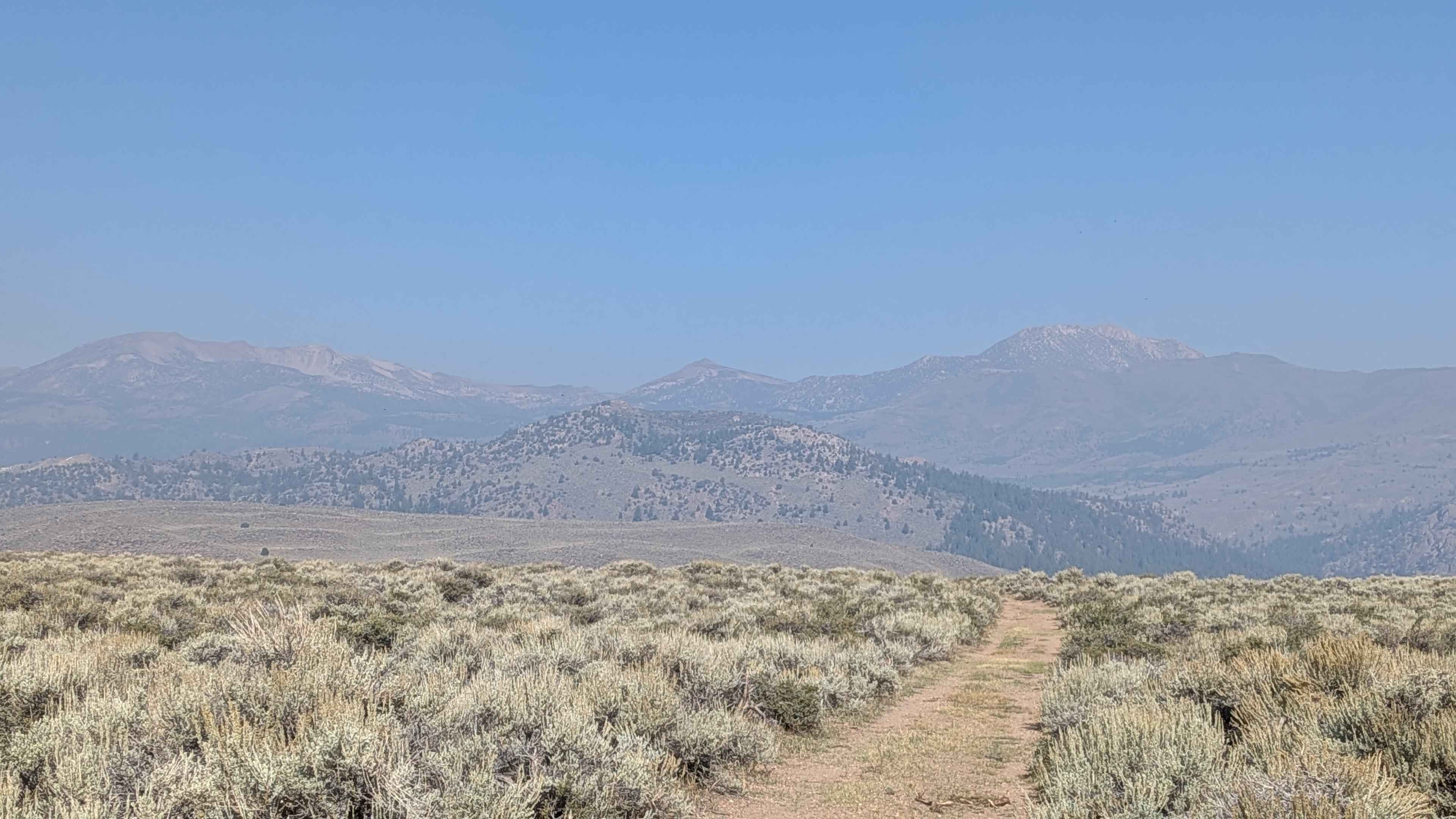
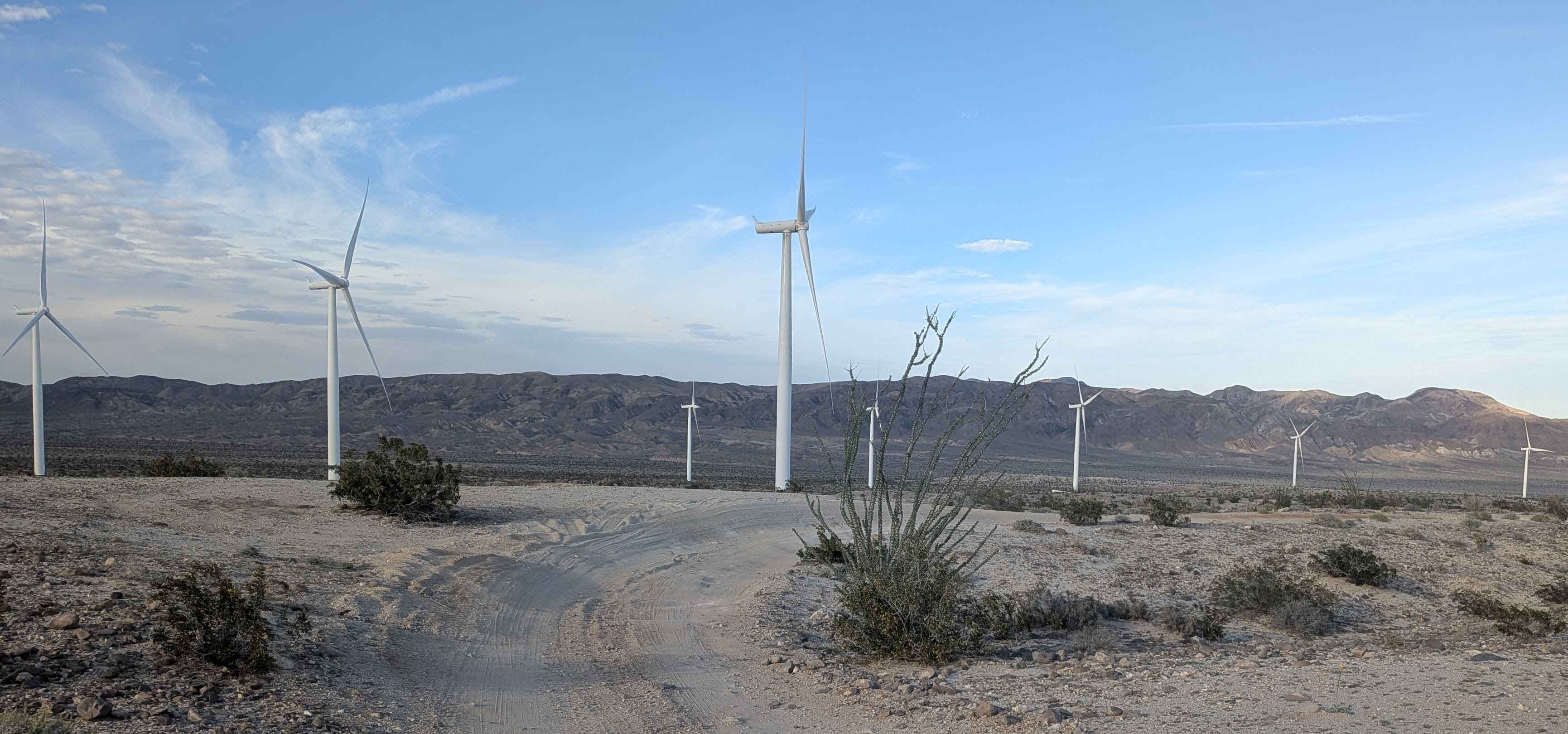
Starting just 0.75 miles up Little Walker Road from Highway 395, this narrow sand and gravel track lives up to its namesake with sagebrush lining much of the route. The trail climbs nearly 400 feet in just over 1.25 miles and is one vehicle wide with several slightly off-camber sections. It is an out-and-back trail. Early on, drivers will encounter large ruts about a quarter mile up, though bypasses exist. A short shelf section is tucked into the climb, so use caution. After this, the road flattens quickly and opens to sweeping 360-degree views of the surrounding mountains. The trail then dips into meadows, still dotted with sage, where a small creek runs parallel to the road before crossing it. Be respectful of grazing cattle in the area and remember to close any cattle gates behind you. The last quarter mile climbs a hill to a spring-fed creek that feeds the meadow below. Space at the top is limited, with room for only one vehicle to turn around, so plan accordingly. From here, you're rewarded with views of the valley below and into the crest of another valley beyond. Trail passes through multiple jurisdictions, beginning in the Humboldt-Toiyabe National Forest and ending in California Department of Fish and Wildlife land.
Photos of Sage Road East - FS 32066E
Difficulty
Most of the trail drives like an easy Rating 1, but the creek crossings, early ruts, water crossings, and final hill climb push the rating slightly higher.
Status Reports
Sage Road East - FS 32066E can be accessed by the following ride types:
- High-Clearance 4x4
- SUV
- SxS (60")
- ATV (50")
- Dirt Bike
Sage Road East - FS 32066E Map
Popular Trails

Arcularious Old - FS 2S85
Off Your Rocker
The onX Offroad Difference
onX Offroad combines trail photos, descriptions, difficulty ratings, width restrictions, seasonality, and more in a user-friendly interface. Available on all devices, with offline access and full compatibility with CarPlay and Android Auto. Discover what you’re missing today!