Off-Road Trails in California
Discover off-road trails in California
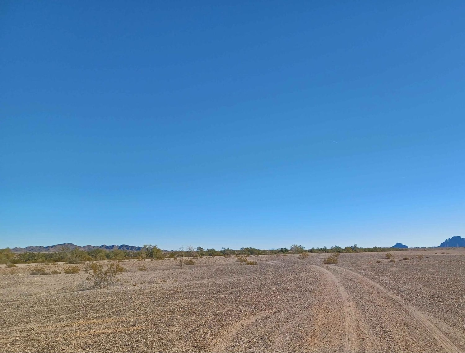
Learn more about Red Point - (5001K-002)
Red Point - (5001K-002)
Total Miles
1.1
Tech Rating
Moderate
Best Time
Summer, Fall

Learn more about Red Rock InyoKern North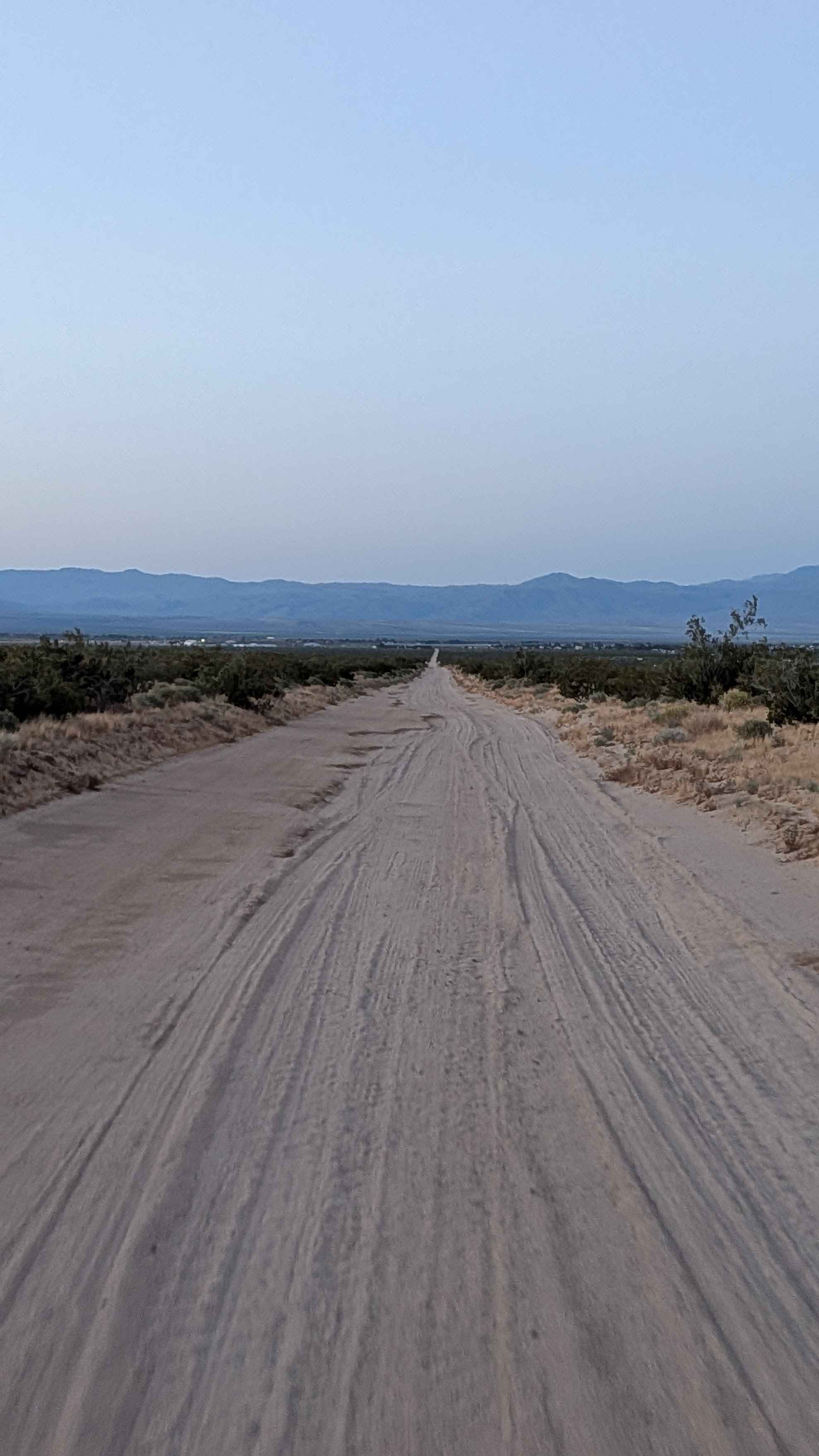
Red Rock InyoKern North
Total Miles
13.2
Tech Rating
Easy
Best Time
Fall, Summer, Spring
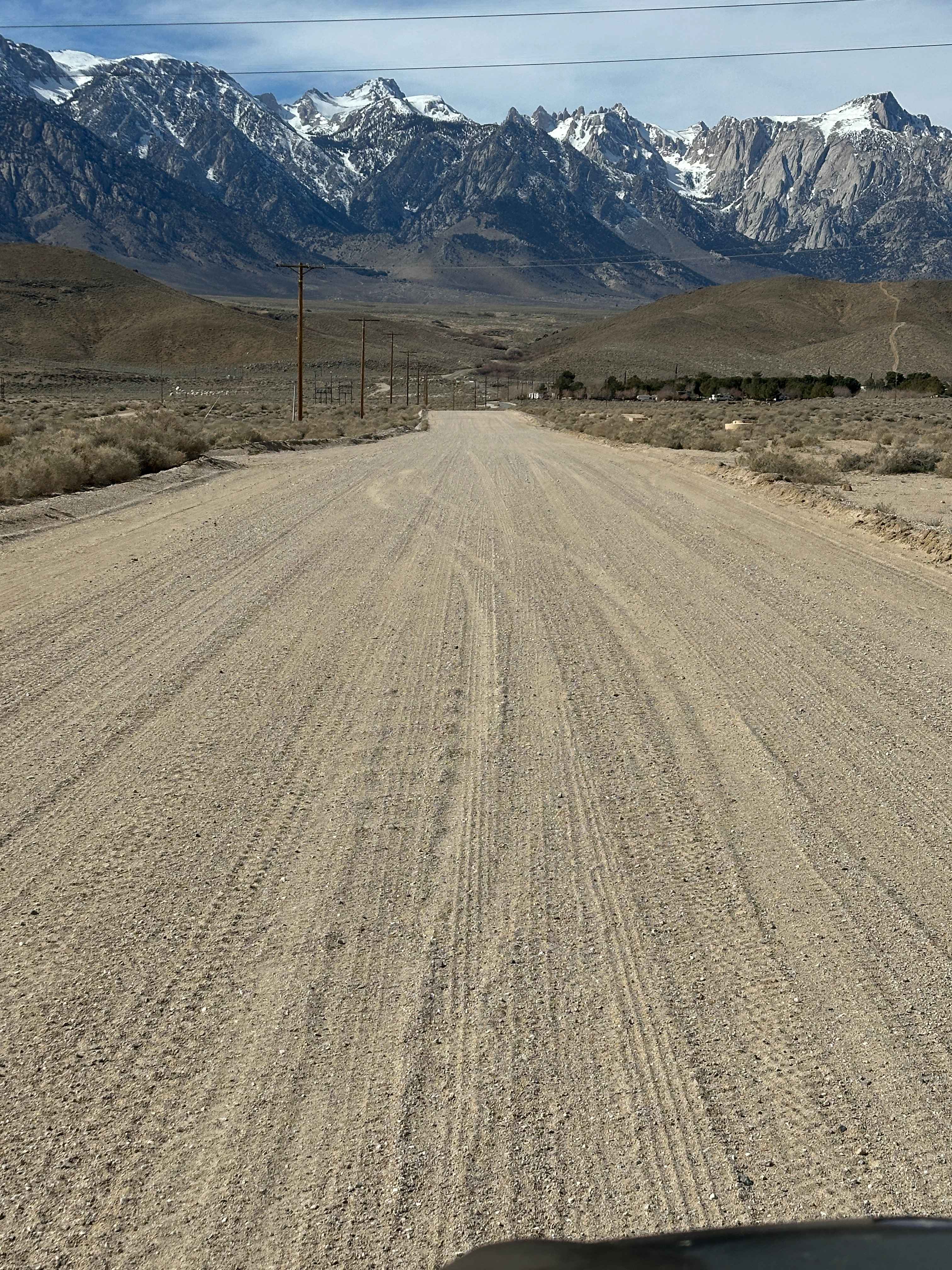
Learn more about Red Rock Inyokern South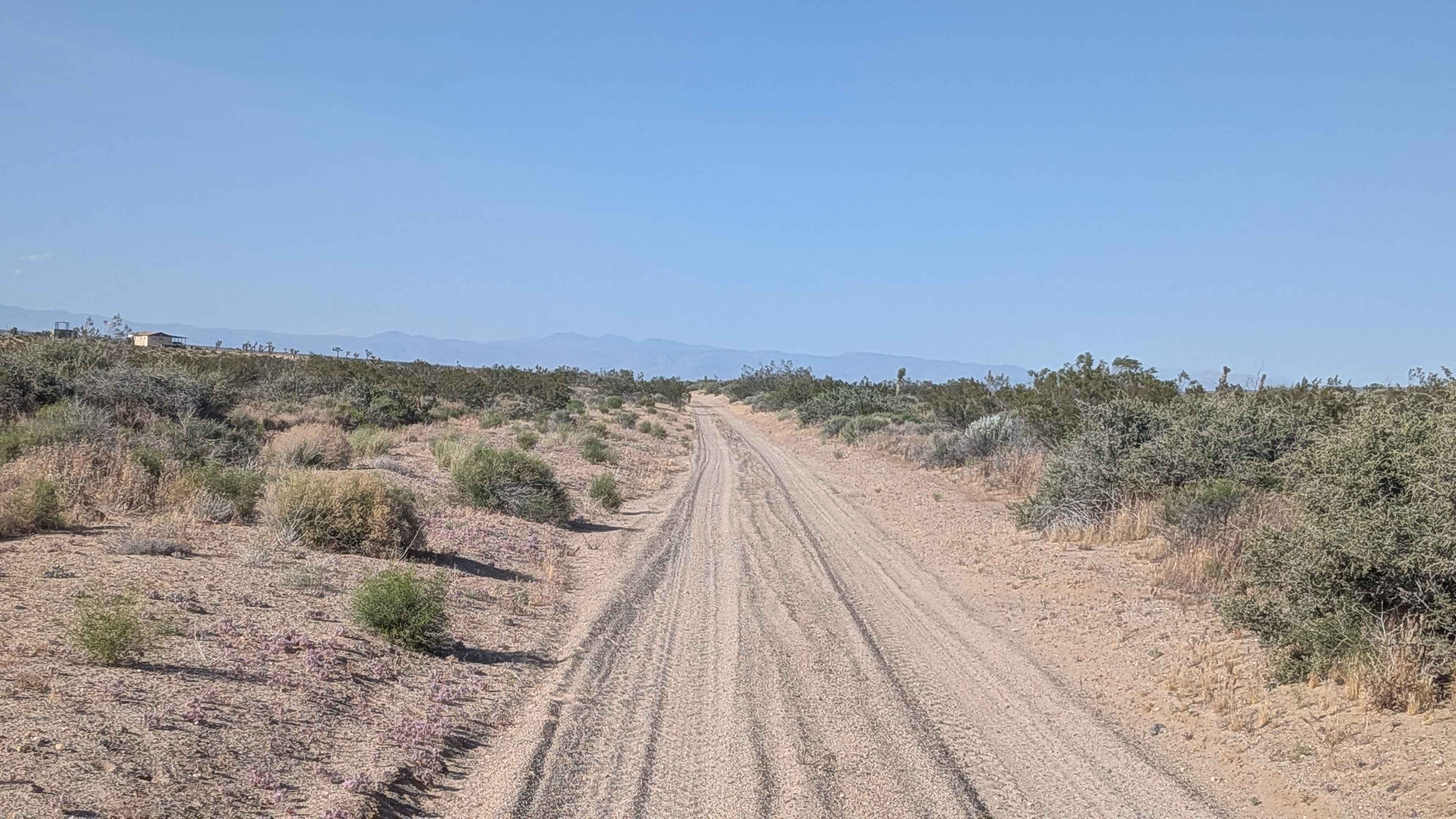
Red Rock Inyokern South
Total Miles
4.5
Tech Rating
Easy
Best Time
Summer, Fall, Spring
Learn more about Redonda Ridge - FS 1W17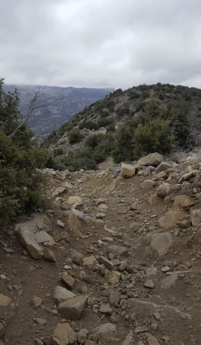
Redonda Ridge - FS 1W17
Total Miles
9.4
Tech Rating
Difficult
Best Time
Spring, Summer, Fall
Learn more about Redpole Loop - FS 26E334
Redpole Loop - FS 26E334
Total Miles
0.6
Tech Rating
Easy
Best Time
Summer, Fall
Learn more about Redpole Spur - FS 8S042A
Redpole Spur - FS 8S042A
Total Miles
1.5
Tech Rating
Easy
Best Time
Summer, Fall
Learn more about Redwood Meadow - FS 22S13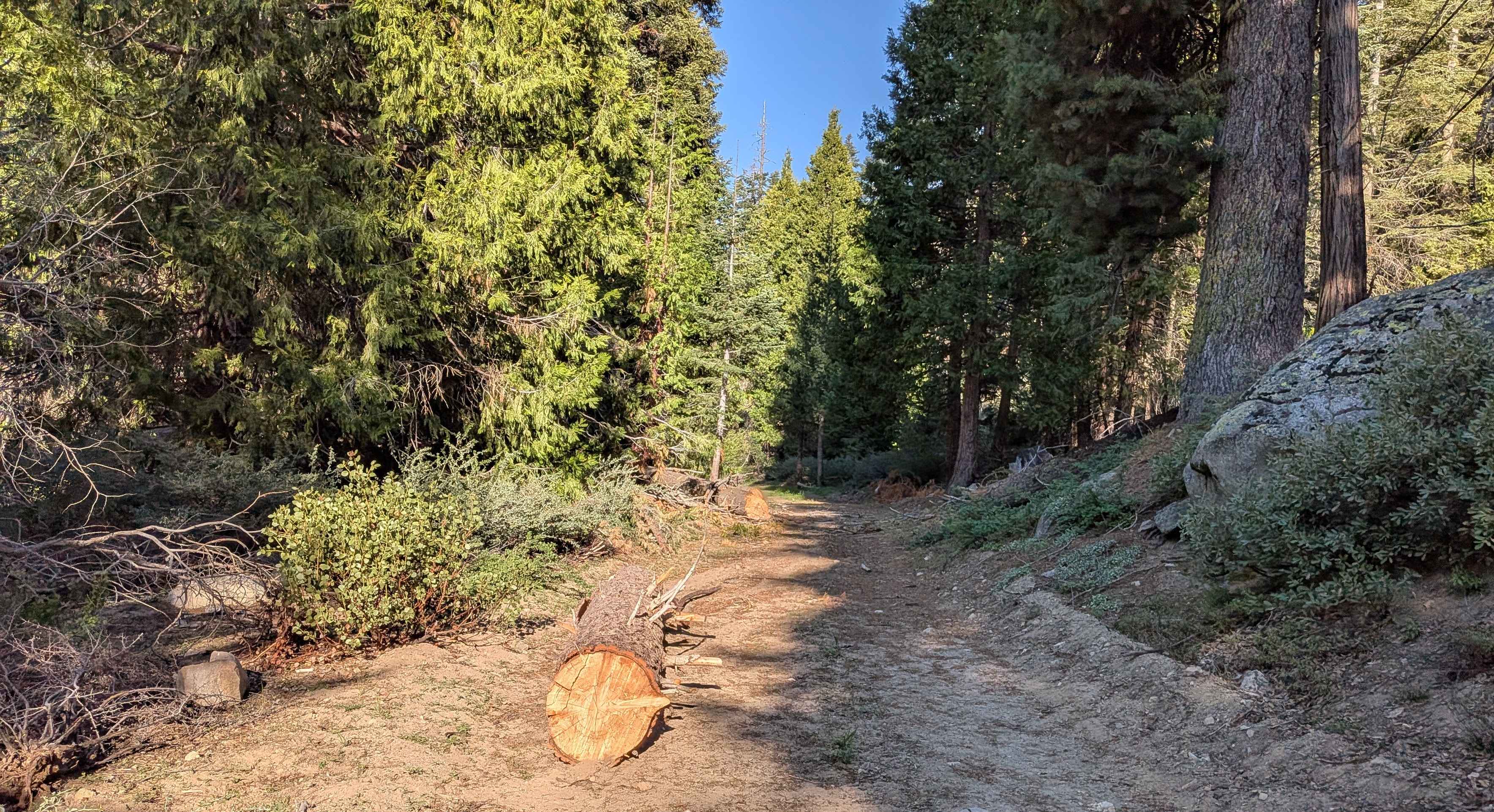
Redwood Meadow - FS 22S13
Total Miles
1.0
Tech Rating
Moderate
Best Time
Fall, Summer, Spring
Learn more about Reflector Road
Reflector Road
Total Miles
1.2
Tech Rating
Easy
Best Time
Spring, Summer, Fall
Learn more about Renstock Ridge - 2N79
Renstock Ridge - 2N79
Total Miles
2.9
Tech Rating
Easy
Best Time
Spring, Fall, Winter
Learn more about Renstock Ridge Spur A - 2N79A
Renstock Ridge Spur A - 2N79A
Total Miles
1.5
Tech Rating
Easy
Best Time
Spring, Fall, Winter
Learn more about Resolution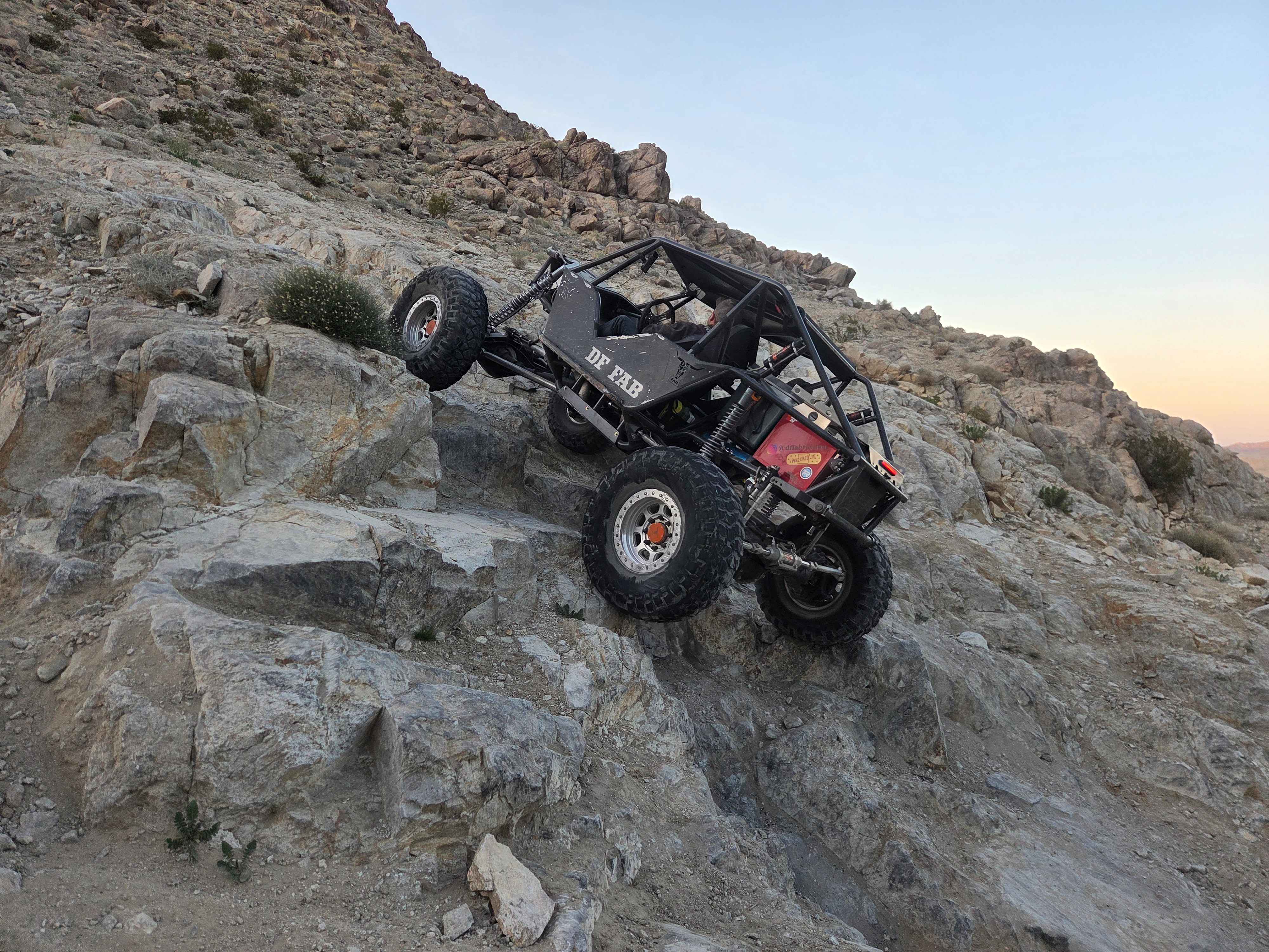
Resolution
Total Miles
0.3
Tech Rating
Difficult
Best Time
Spring, Fall, Winter
Learn more about Return to the Windmills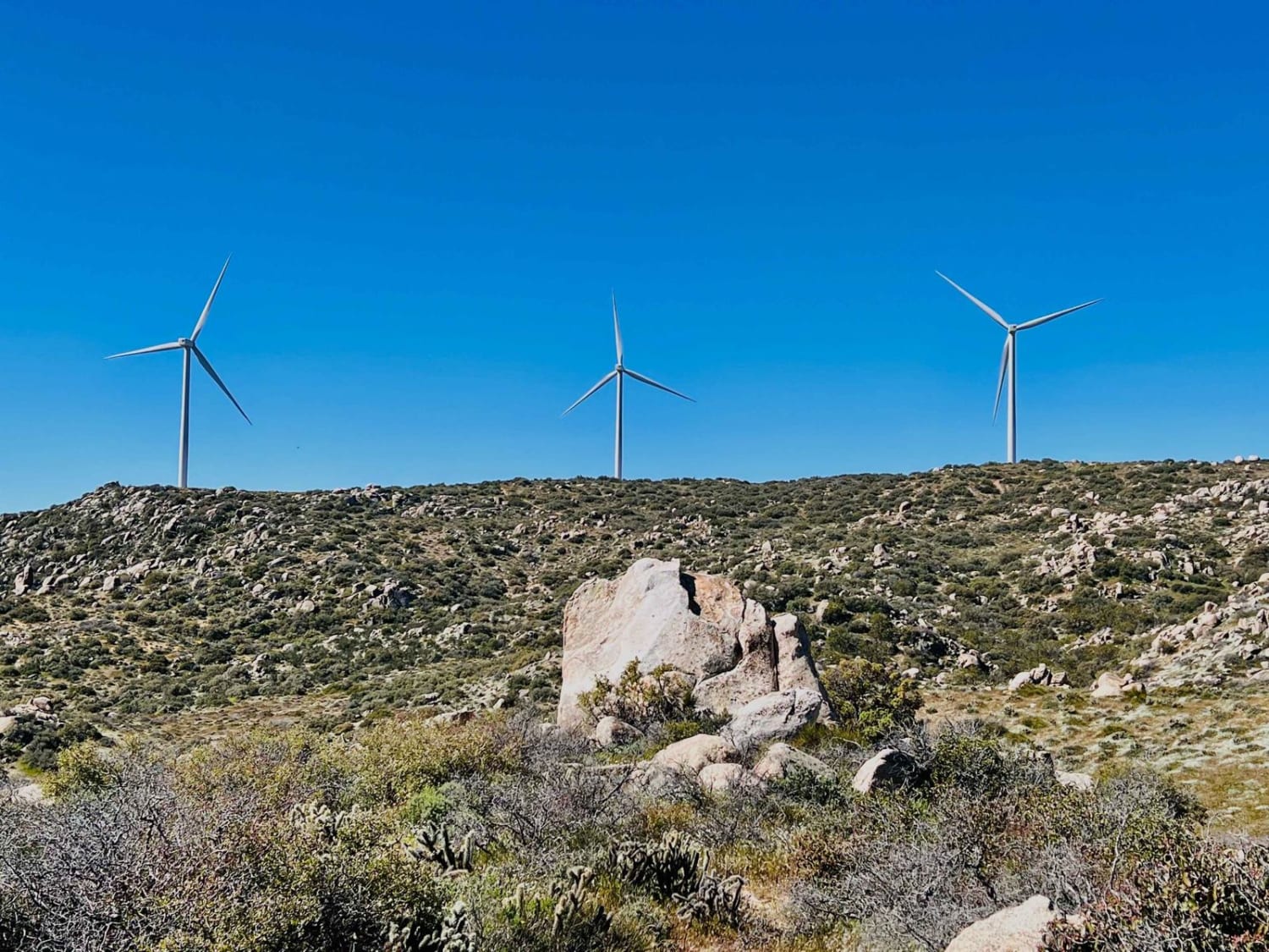
Return to the Windmills
Total Miles
1.1
Tech Rating
Moderate
Best Time
Fall, Winter, Spring
Learn more about Reversed Peak - FS 1S31
Reversed Peak - FS 1S31
Total Miles
3.9
Tech Rating
Easy
Best Time
Fall, Summer
Learn more about Rhymes - FS 26S19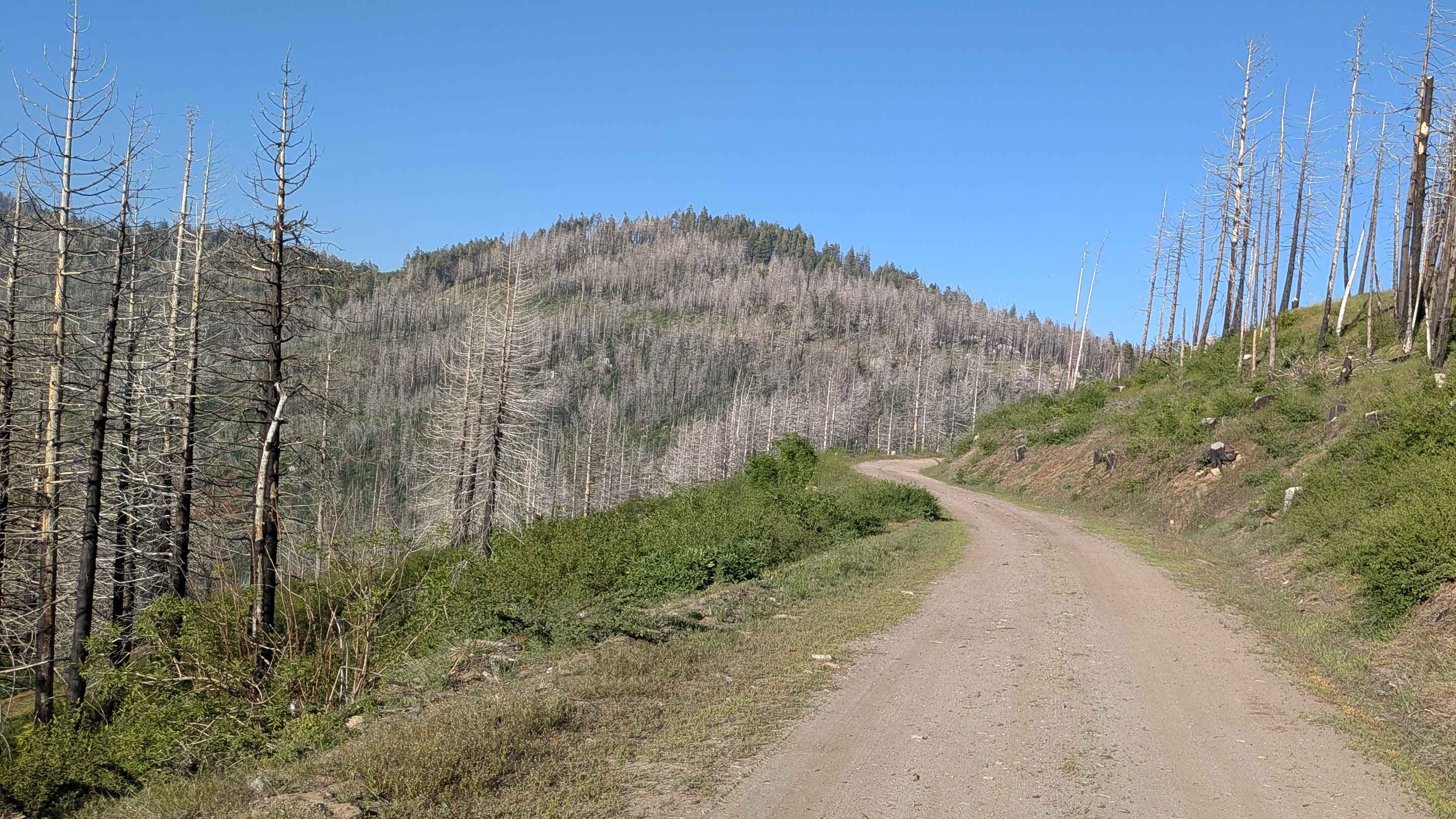
Rhymes - FS 26S19
Total Miles
1.3
Tech Rating
Easy
Best Time
Fall, Summer, Spring
Learn more about Richardson Glade - FS 17N26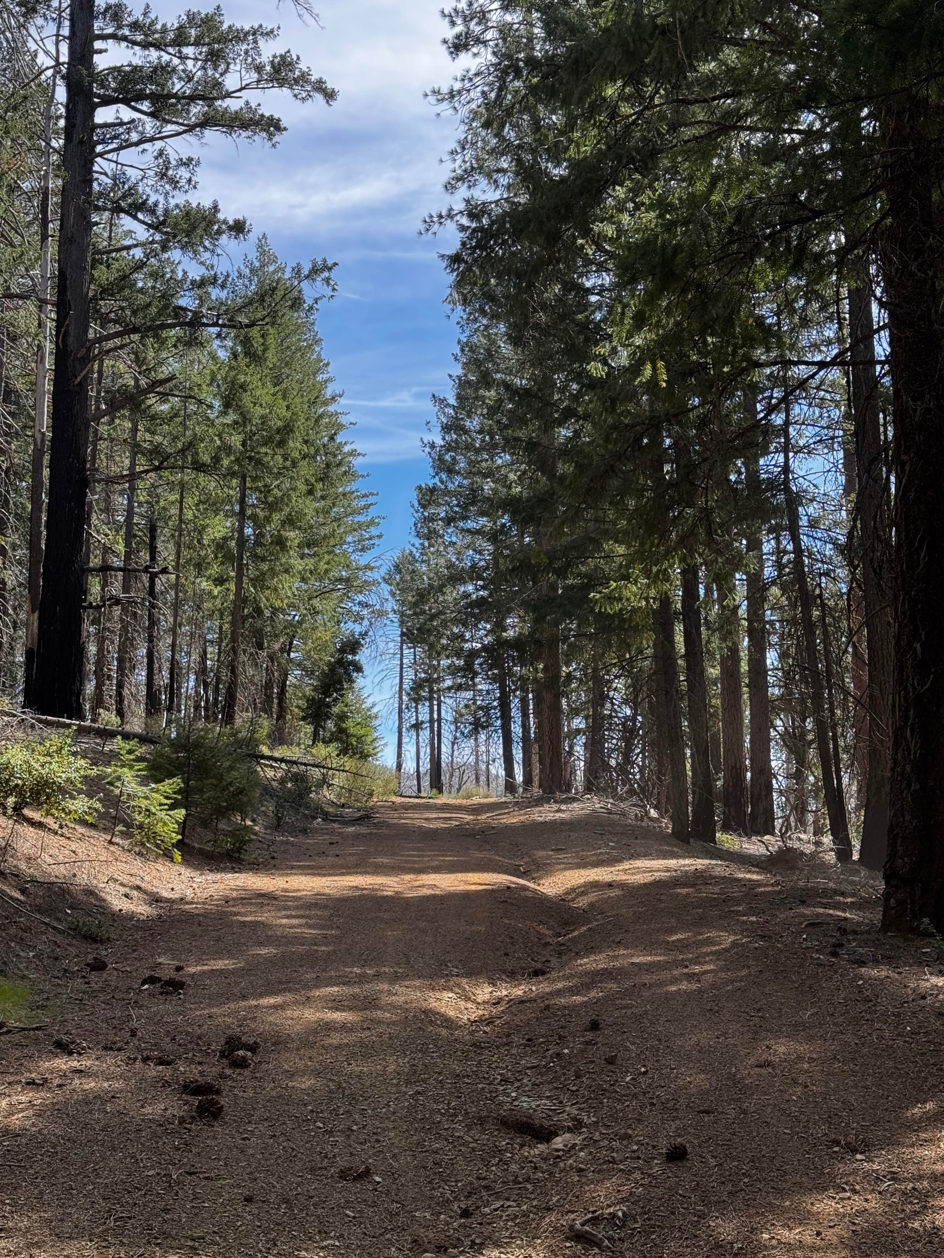
Richardson Glade - FS 17N26
Total Miles
4.9
Tech Rating
Easy
Best Time
Spring, Summer, Fall
Learn more about Richardson Lake 4WD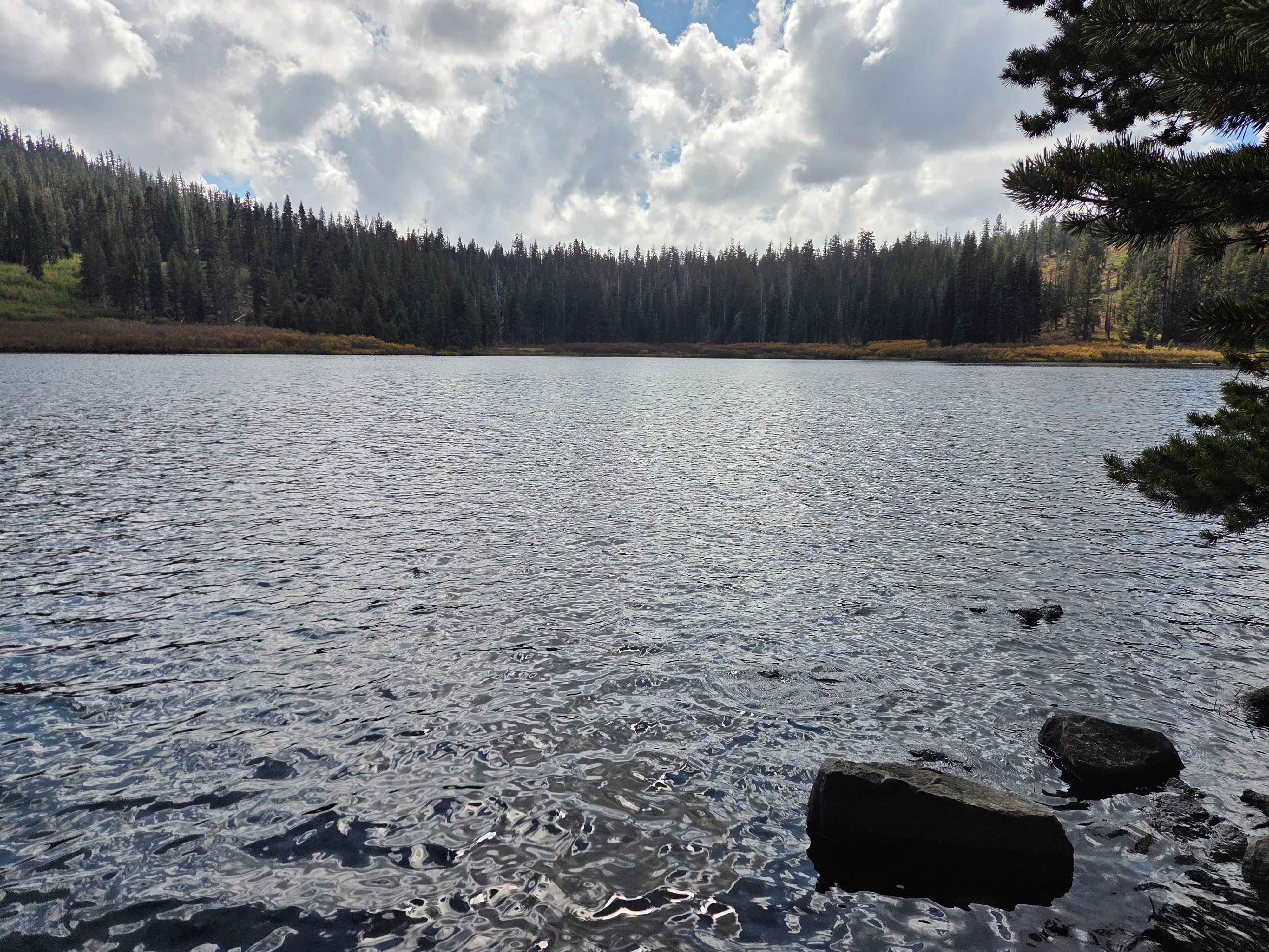
Richardson Lake 4WD
Total Miles
3.0
Tech Rating
Easy
Best Time
Summer, Fall
Learn more about Ride around Rockfront
Ride around Rockfront
Total Miles
13.2
Tech Rating
Easy
Best Time
Spring, Summer, Winter, Fall
ATV trails in California


UTV/side-by-side trails in California


Learn more about 3N267 Fenner Saddle (4N12)
3N267 Fenner Saddle (4N12)
Total Miles
3.8
Tech Rating
Difficult
Best Time
Spring, Summer, Fall, Winter

The onX Offroad Difference
onX Offroad combines trail photos, descriptions, difficulty ratings, width restrictions, seasonality, and more in a user-friendly interface. Available on all devices, with offline access and full compatibility with CarPlay and Android Auto. Discover what you’re missing today!