Red Rock Inyokern South
Total Miles
4.5
Technical Rating
Best Time
Summer, Fall, Spring
Trail Type
Full-Width Road
Accessible By
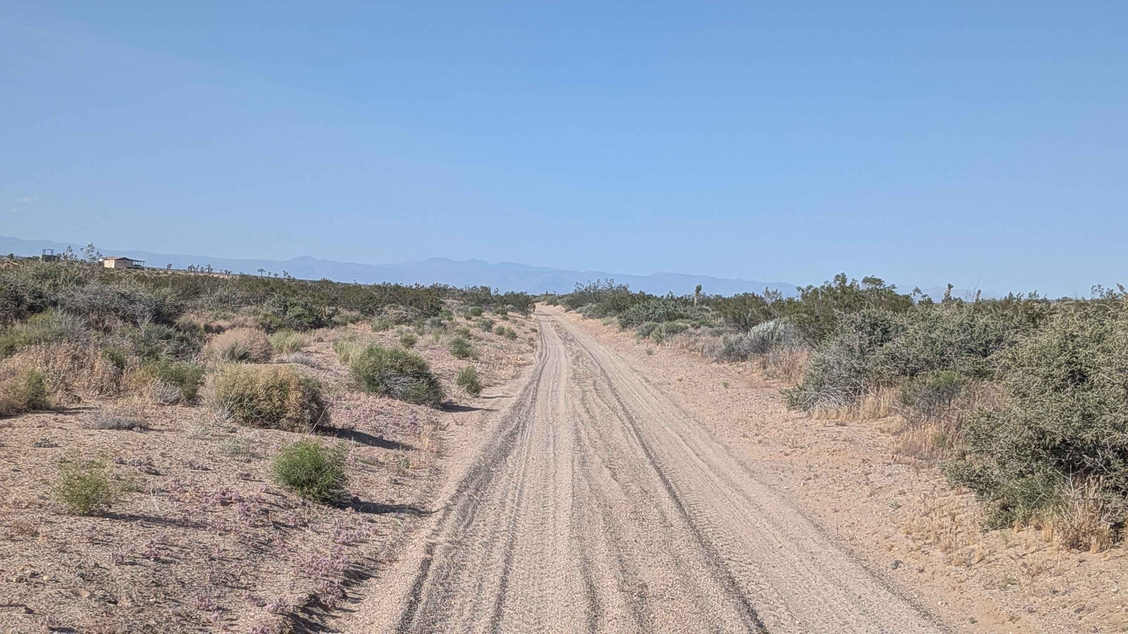
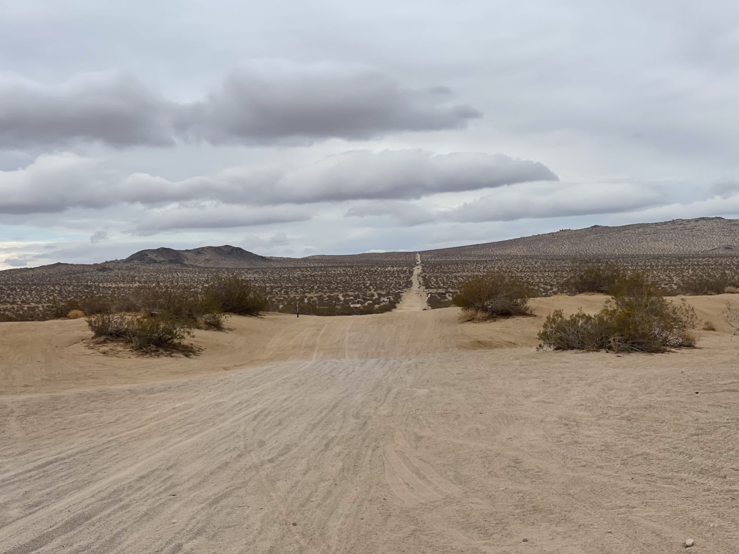
Trail Overview
Red Rock Inyokern Road South trail is a major north-to-south route that offers an unpaved alternative to Highway 14. It runs parallel to Highway 14 and traverses both BLM land and Red Rock Canyon State Park. The trail is lined with various desert brush and provides excellent views of the Eastern Sierra mountains. The surface is described as a mix of loose sand and hard-packed sand with some embedded rocks, and it is approximately 1 and 1/2 vehicles wide. Within the state park boundaries, camping is prohibited.
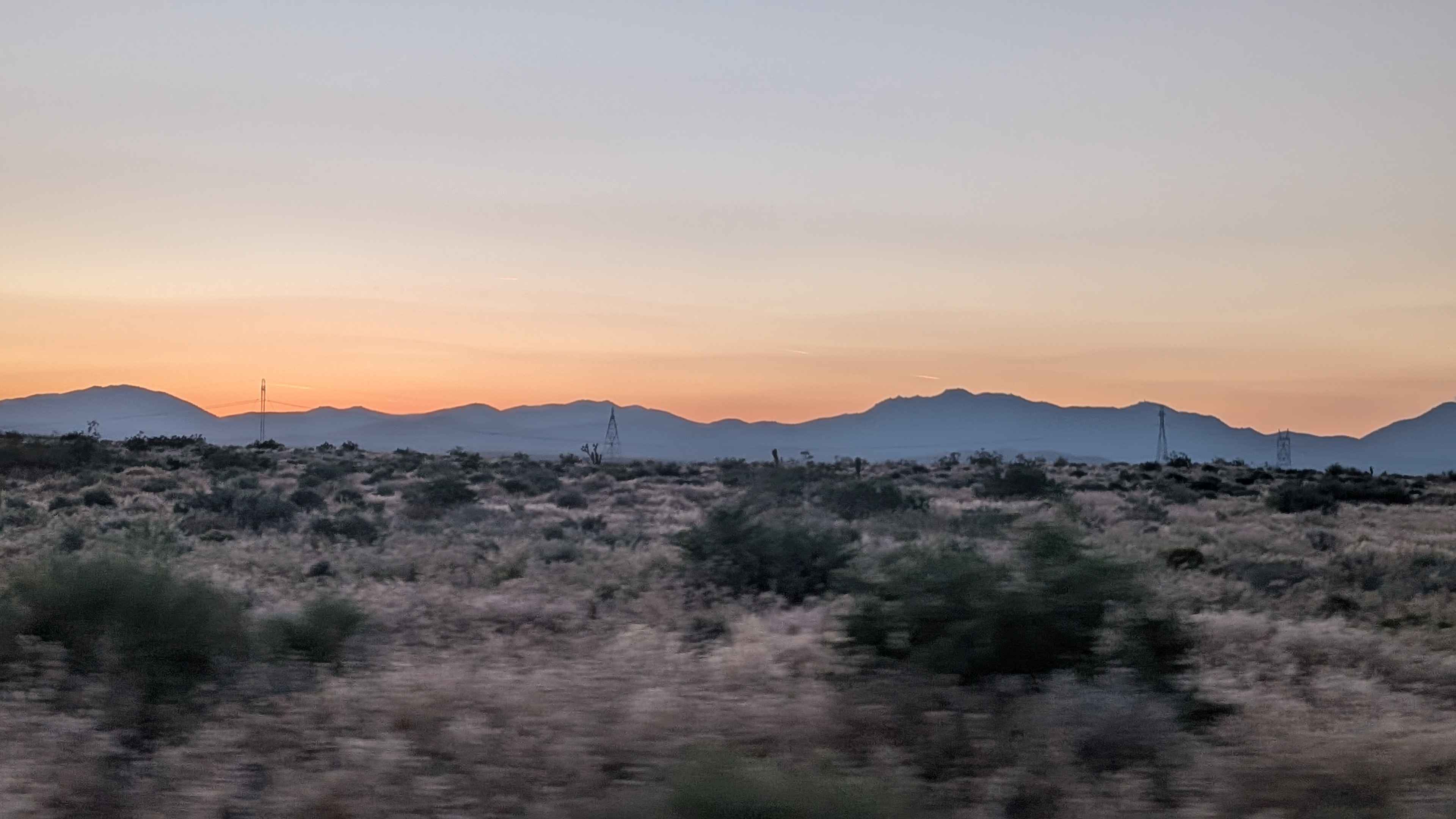
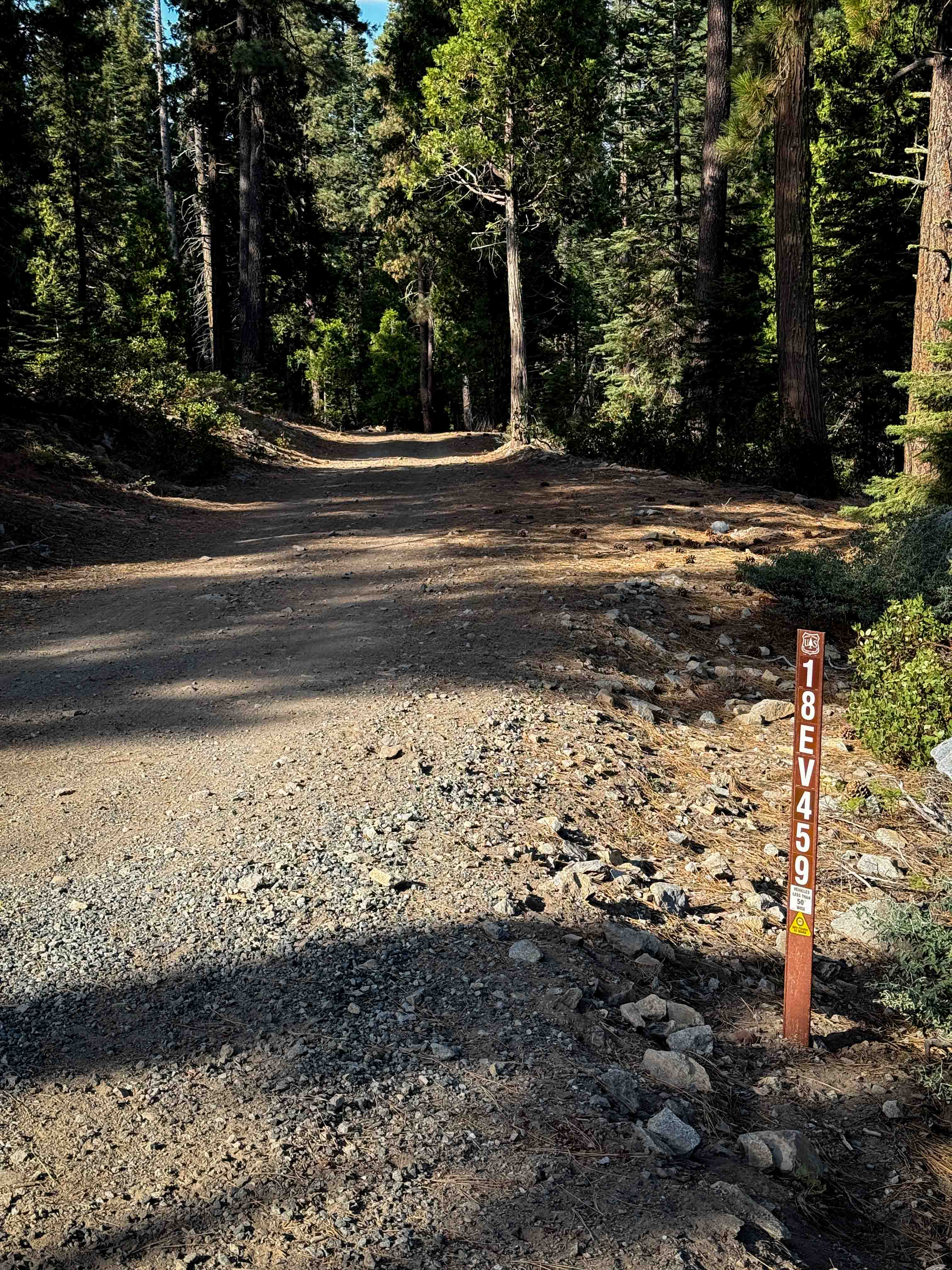
Photos of Red Rock Inyokern South
Difficulty
While traveling this route, drivers should expect to encounter washboards, ruts, and slightly off-camber sections.
Status Reports
Red Rock Inyokern South can be accessed by the following ride types:
- High-Clearance 4x4
- SUV
- SxS (60")
- ATV (50")
- Dirt Bike
Red Rock Inyokern South Map
Popular Trails
Forest Service Road 3S121A
Leviathan Road East - FS 31052
Choose Your Own Adventure Whoops
The onX Offroad Difference
onX Offroad combines trail photos, descriptions, difficulty ratings, width restrictions, seasonality, and more in a user-friendly interface. Available on all devices, with offline access and full compatibility with CarPlay and Android Auto. Discover what you’re missing today!