Off-Road Trails in California
Discover off-road trails in California
Learn more about Salt Spring Valley - 18N38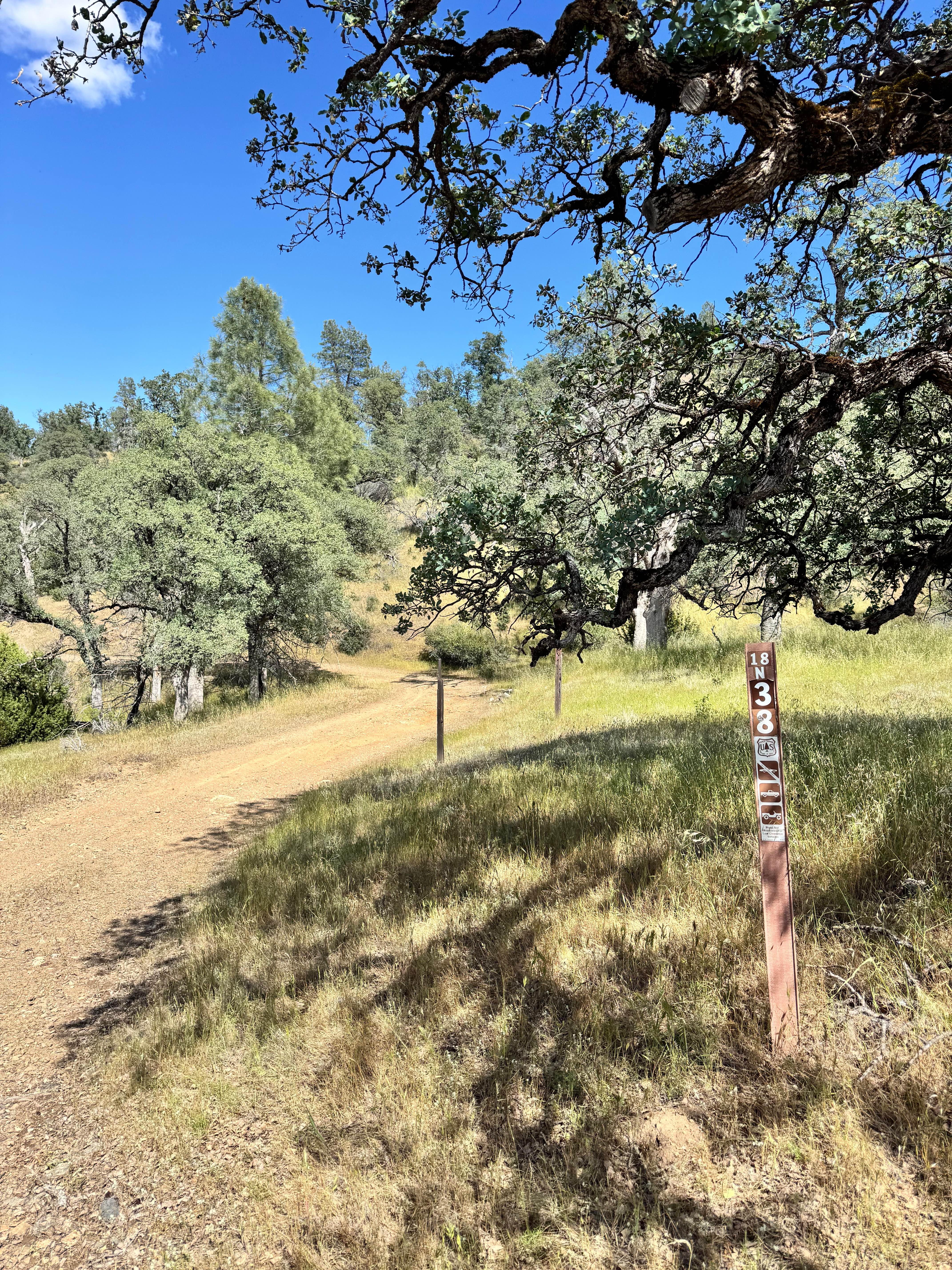
Salt Spring Valley - 18N38
Total Miles
4.1
Tech Rating
Easy
Best Time
Spring, Summer, Fall
Learn more about Saltbrush Trail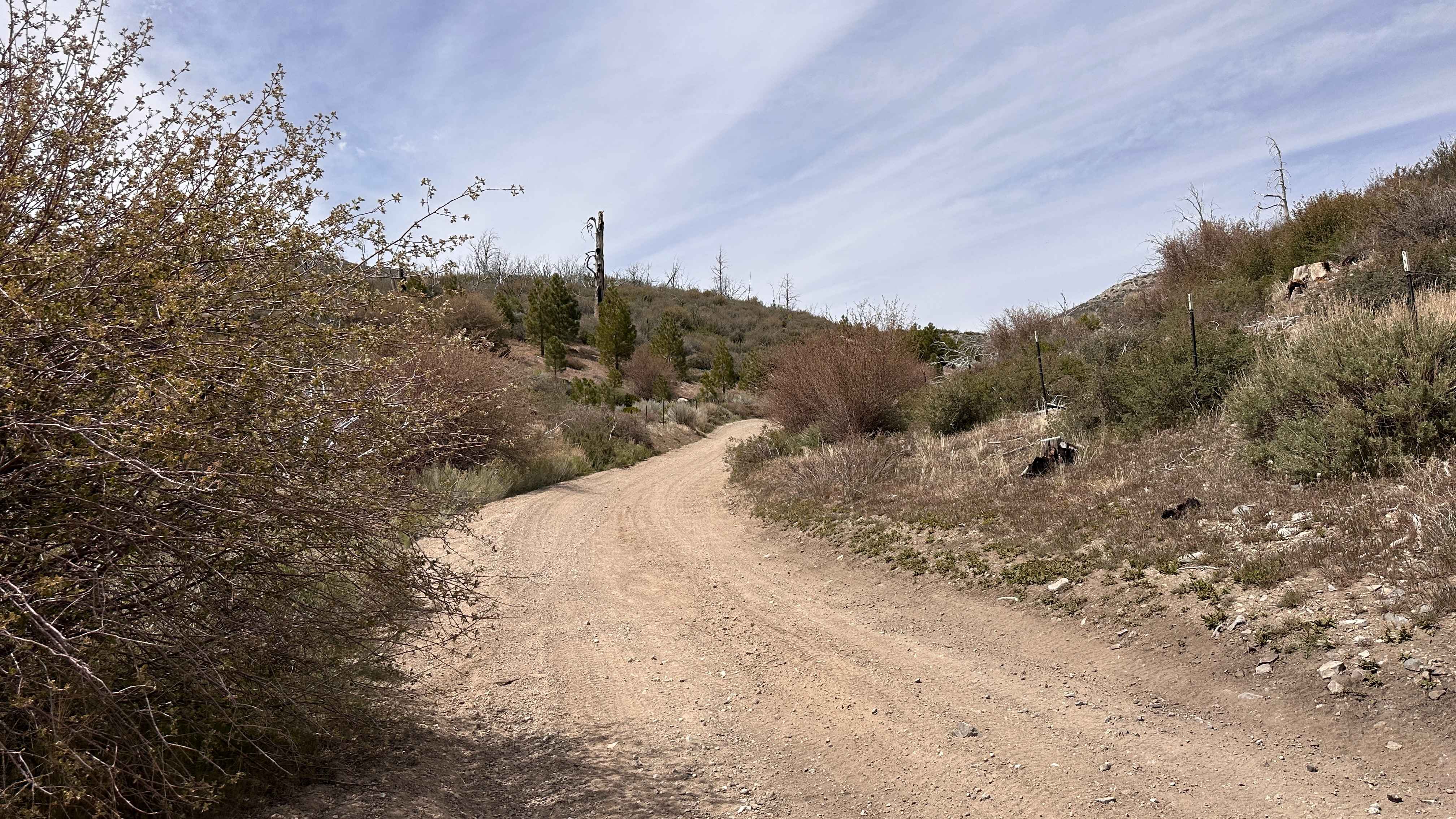
Saltbrush Trail
Total Miles
0.6
Tech Rating
Easy
Best Time
Spring, Summer, Fall, Winter
Learn more about Salton Sea to Bradshaw's Trail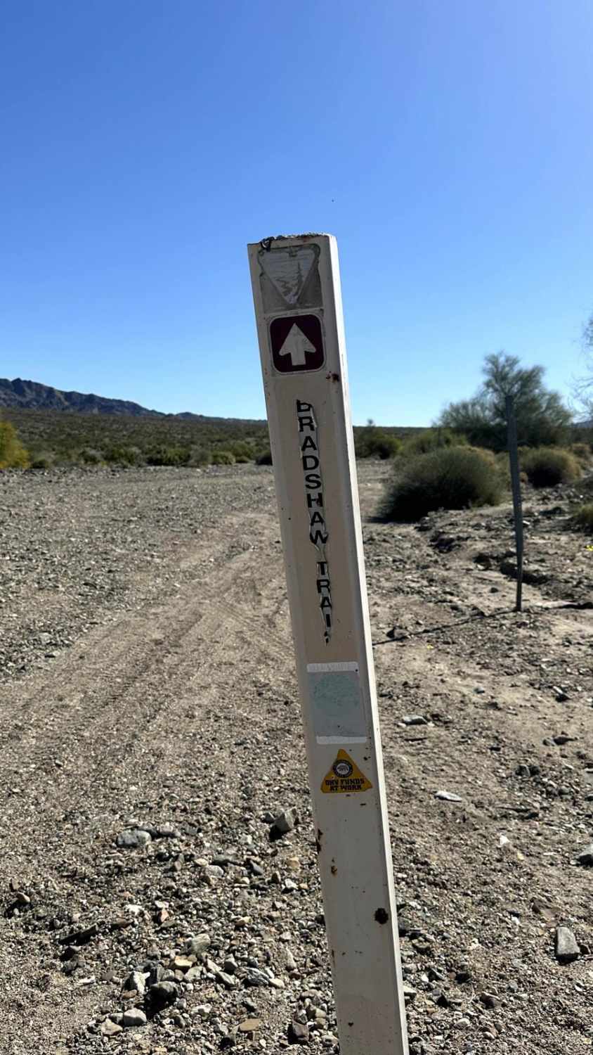
Salton Sea to Bradshaw's Trail
Total Miles
9.9
Tech Rating
Easy
Best Time
Spring, Fall
Learn more about Sample Meadow Campground
Sample Meadow Campground
Total Miles
3.6
Tech Rating
Easy
Best Time
Summer
Learn more about San Diego and Eastern AZ Railway Run
San Diego and Eastern AZ Railway Run
Total Miles
2.8
Tech Rating
Moderate
Best Time
Winter, Fall, Spring
Learn more about San Emigdio - FS 9N34
San Emigdio - FS 9N34
Total Miles
3.3
Tech Rating
Easy
Best Time
Spring, Summer, Fall
Learn more about San Felipe Jeep Trail
San Felipe Jeep Trail
Total Miles
7.4
Tech Rating
Easy
Best Time
Fall, Winter, Spring
Learn more about San Felipe Wash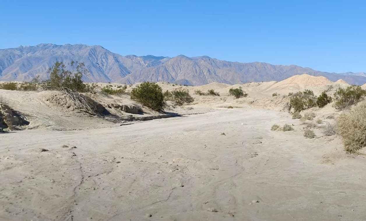
San Felipe Wash
Total Miles
18.2
Tech Rating
Easy
Best Time
Spring, Summer, Fall, Winter
Learn more about San Francisquito Motorway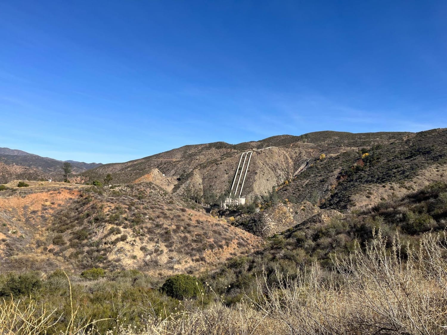
San Francisquito Motorway
Total Miles
6.2
Tech Rating
Easy
Best Time
Spring, Summer, Fall, Winter
Learn more about San Jacinto Ridge Trail (FS 5S09)
San Jacinto Ridge Trail (FS 5S09)
Total Miles
10.9
Tech Rating
Easy
Best Time
Spring, Summer, Fall
Learn more about San Martin
San Martin
Total Miles
1.9
Tech Rating
Easy
Best Time
Spring, Summer, Fall, Winter
Learn more about San Martin Cliffside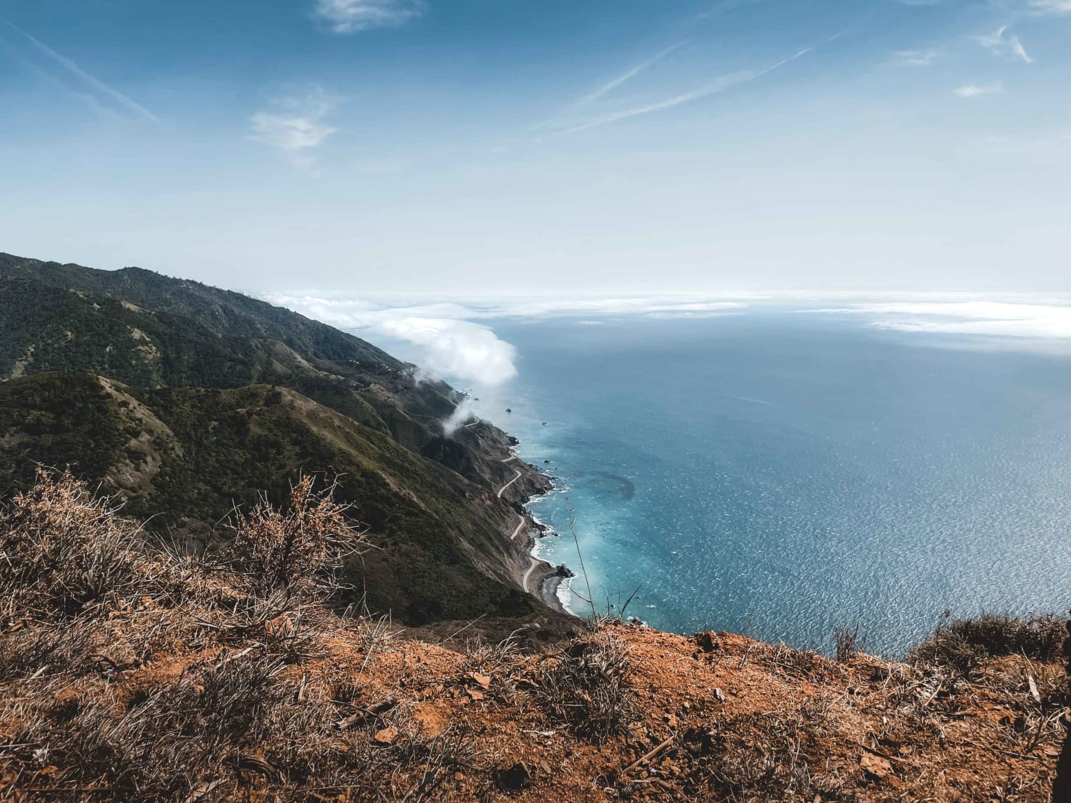
San Martin Cliffside
Total Miles
0.1
Tech Rating
Moderate
Best Time
Summer, Spring, Fall, Winter
Learn more about Sanborn - FS 17N63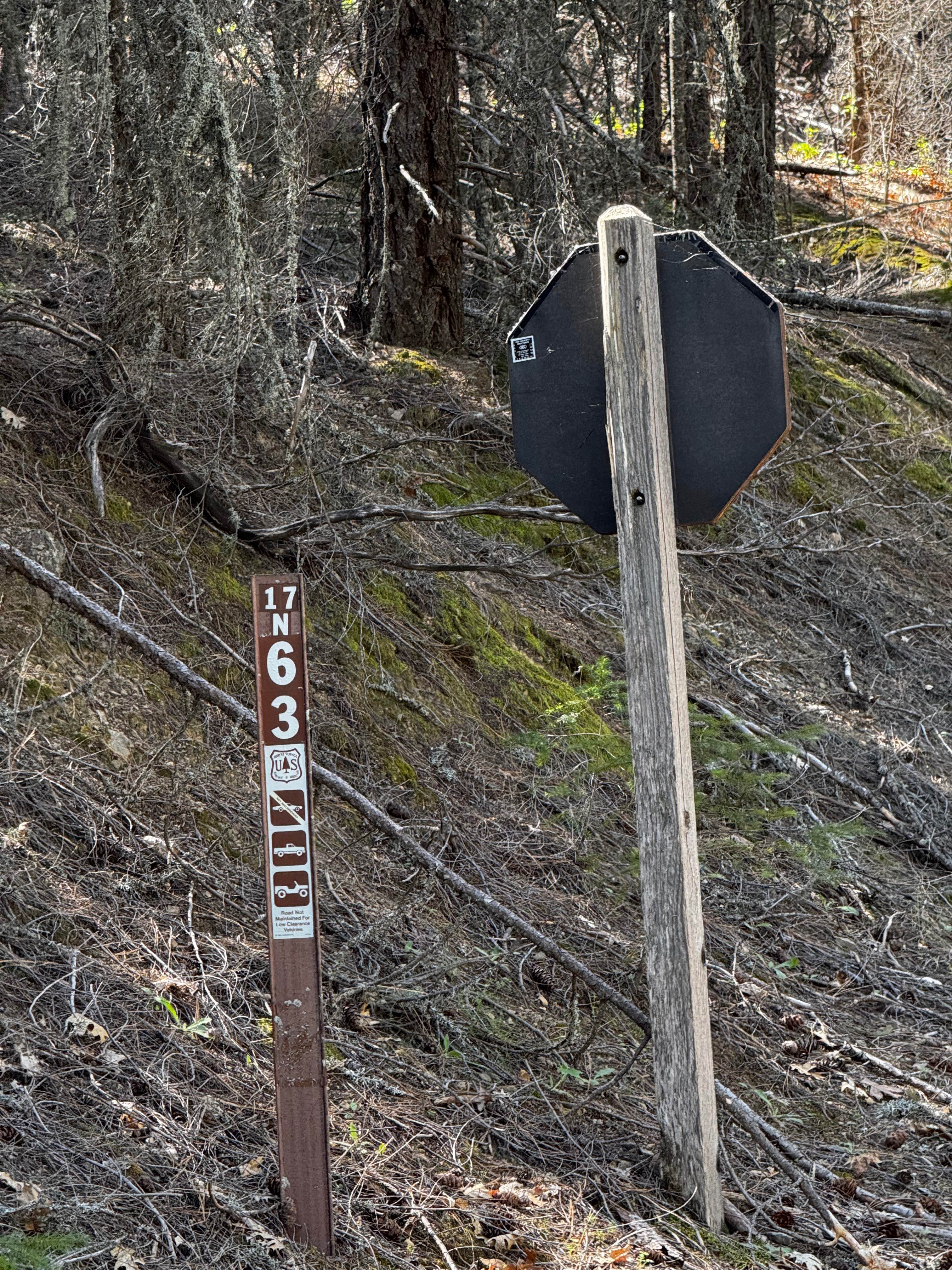
Sanborn - FS 17N63
Total Miles
0.9
Tech Rating
Easy
Best Time
Spring, Summer, Fall
Learn more about Sand Canyon - FS 2N27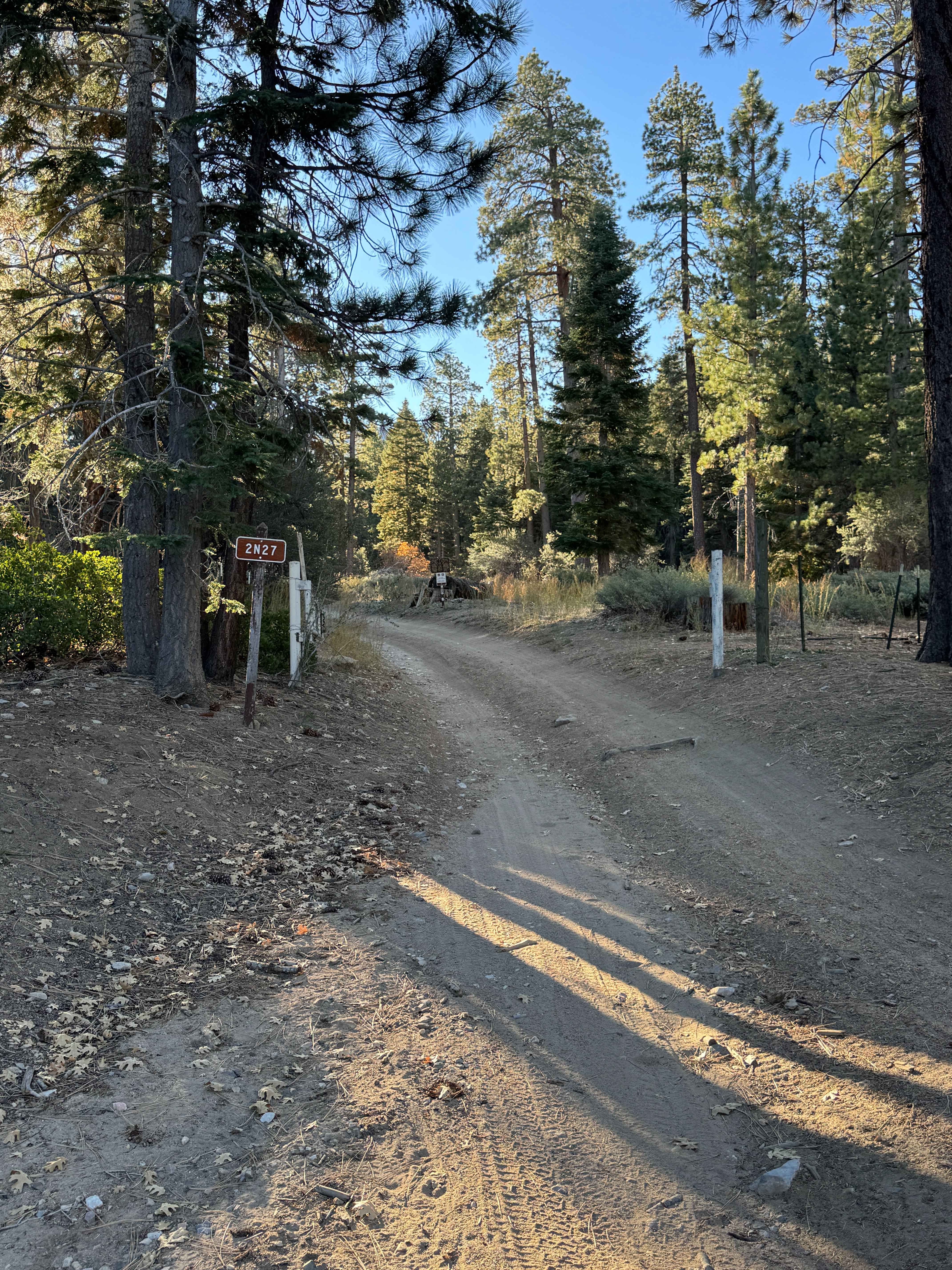
Sand Canyon - FS 2N27
Total Miles
3.5
Tech Rating
Easy
Best Time
Spring, Summer, Fall
Learn more about Sand Canyon Cliff Road - BLM 117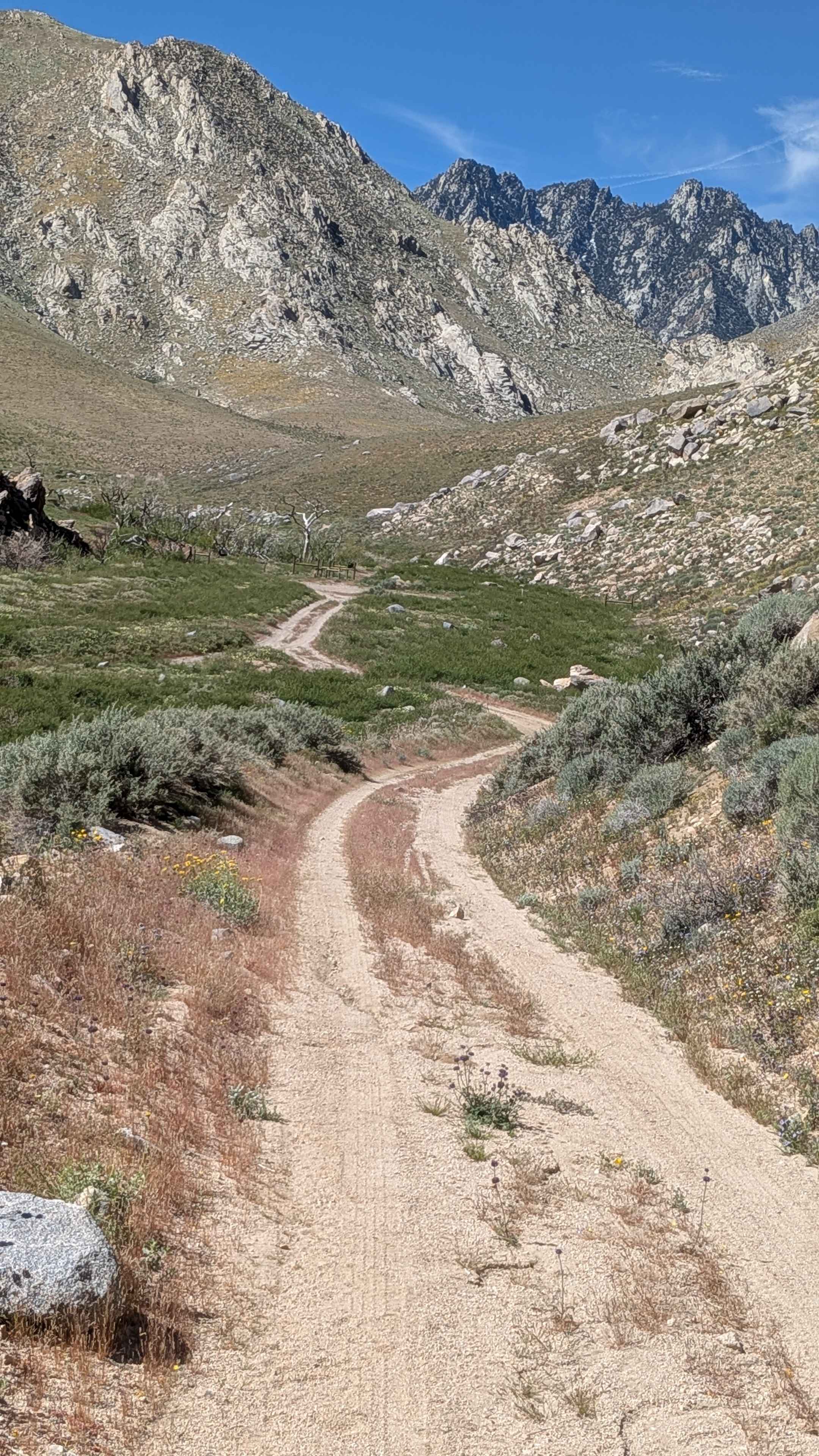
Sand Canyon Cliff Road - BLM 117
Total Miles
1.6
Tech Rating
Easy
Best Time
Fall, Summer, Spring
Learn more about Sand Canyon Road - BLM SE117
Sand Canyon Road - BLM SE117
Total Miles
3.1
Tech Rating
Moderate
Best Time
Fall, Summer, Spring
Learn more about Sand Dam Canyon - BLM 336
Sand Dam Canyon - BLM 336
Total Miles
2.5
Tech Rating
Moderate
Best Time
Winter, Fall, Spring
Learn more about Sand Dune Expedition
Sand Dune Expedition
Total Miles
11.6
Tech Rating
Easy
Best Time
Spring, Summer, Fall, Winter
Learn more about Sand Flat FS 3S38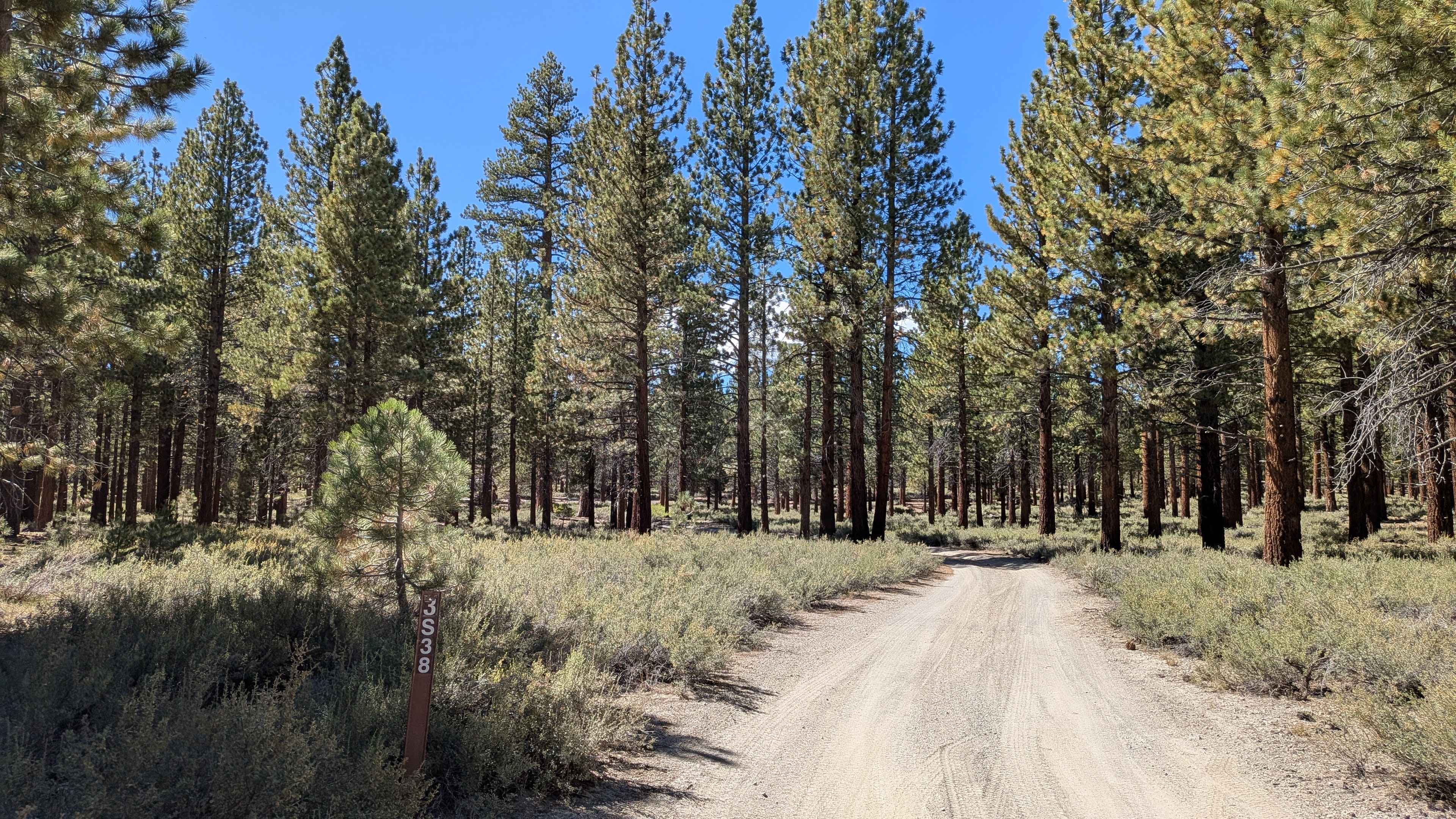
Sand Flat FS 3S38
Total Miles
5.1
Tech Rating
Easy
Best Time
Summer, Fall
ATV trails in California


UTV/side-by-side trails in California


Learn more about 3N267 Fenner Saddle (4N12)
3N267 Fenner Saddle (4N12)
Total Miles
3.8
Tech Rating
Difficult
Best Time
Spring, Summer, Fall, Winter

The onX Offroad Difference
onX Offroad combines trail photos, descriptions, difficulty ratings, width restrictions, seasonality, and more in a user-friendly interface. Available on all devices, with offline access and full compatibility with CarPlay and Android Auto. Discover what you’re missing today!