San Jacinto Ridge Trail (FS 5S09)
Total Miles
10.9
Technical Rating
Best Time
Spring, Summer, Fall
Trail Type
Full-Width Road
Accessible By
Trail Overview
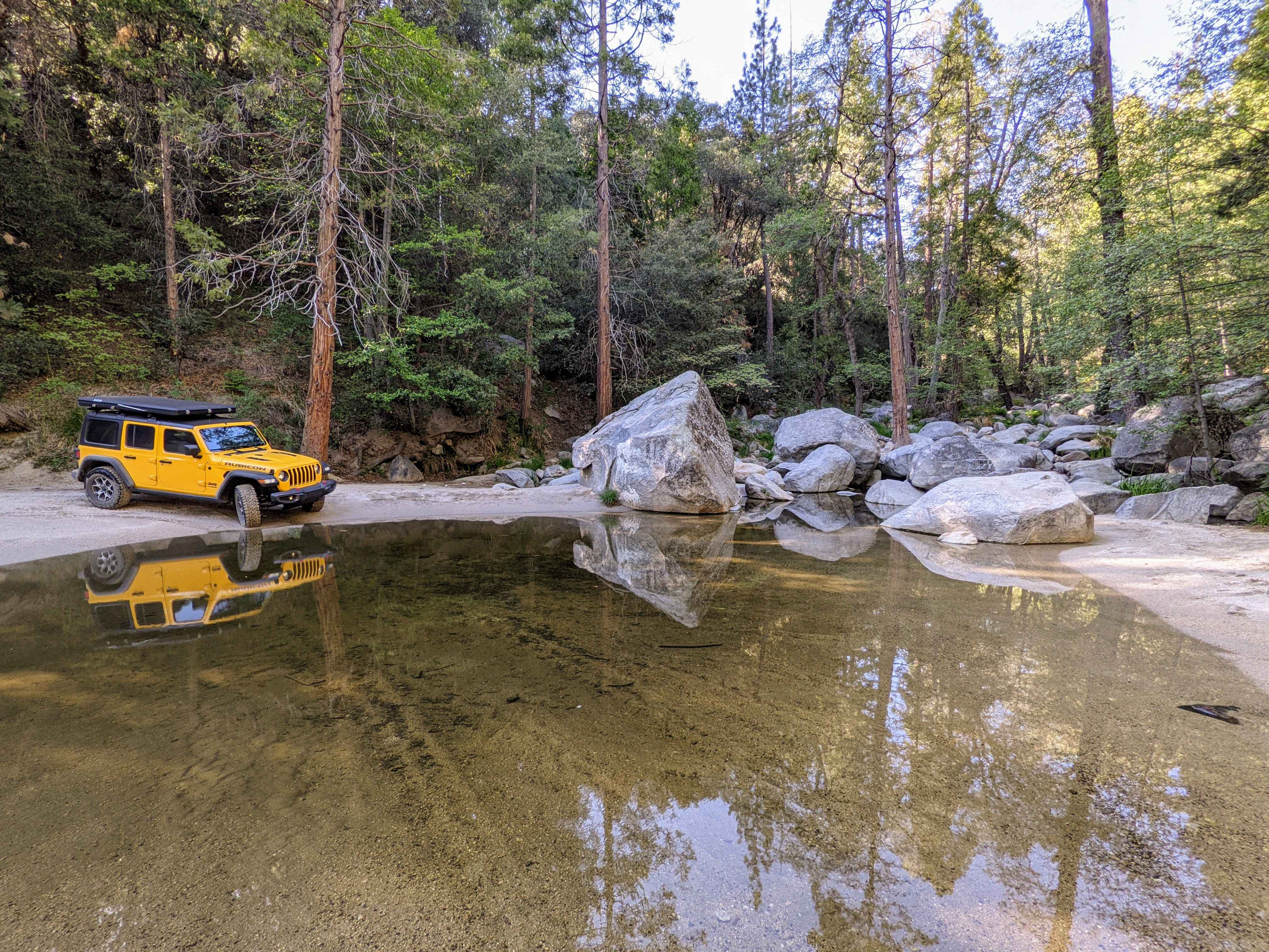
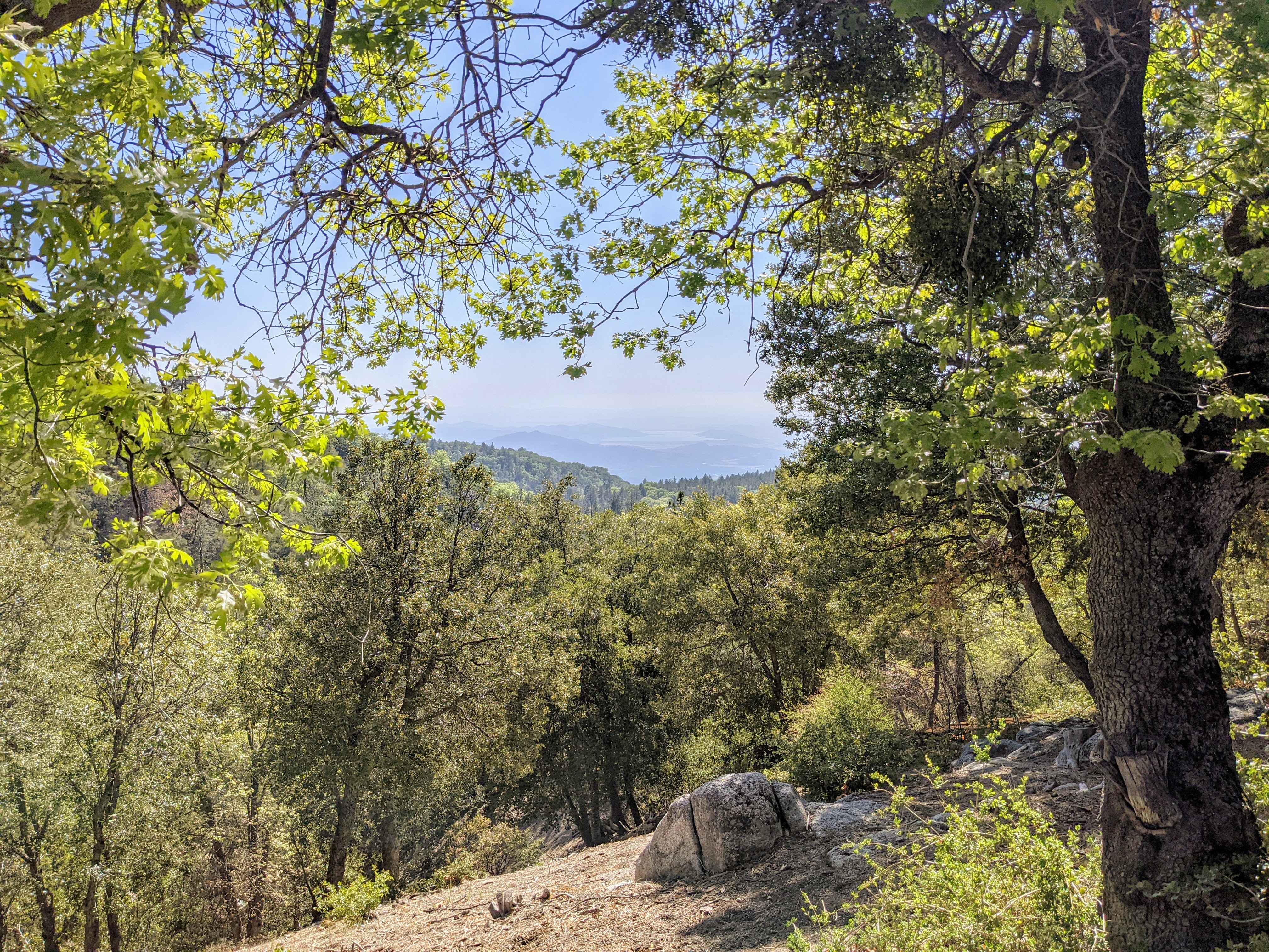
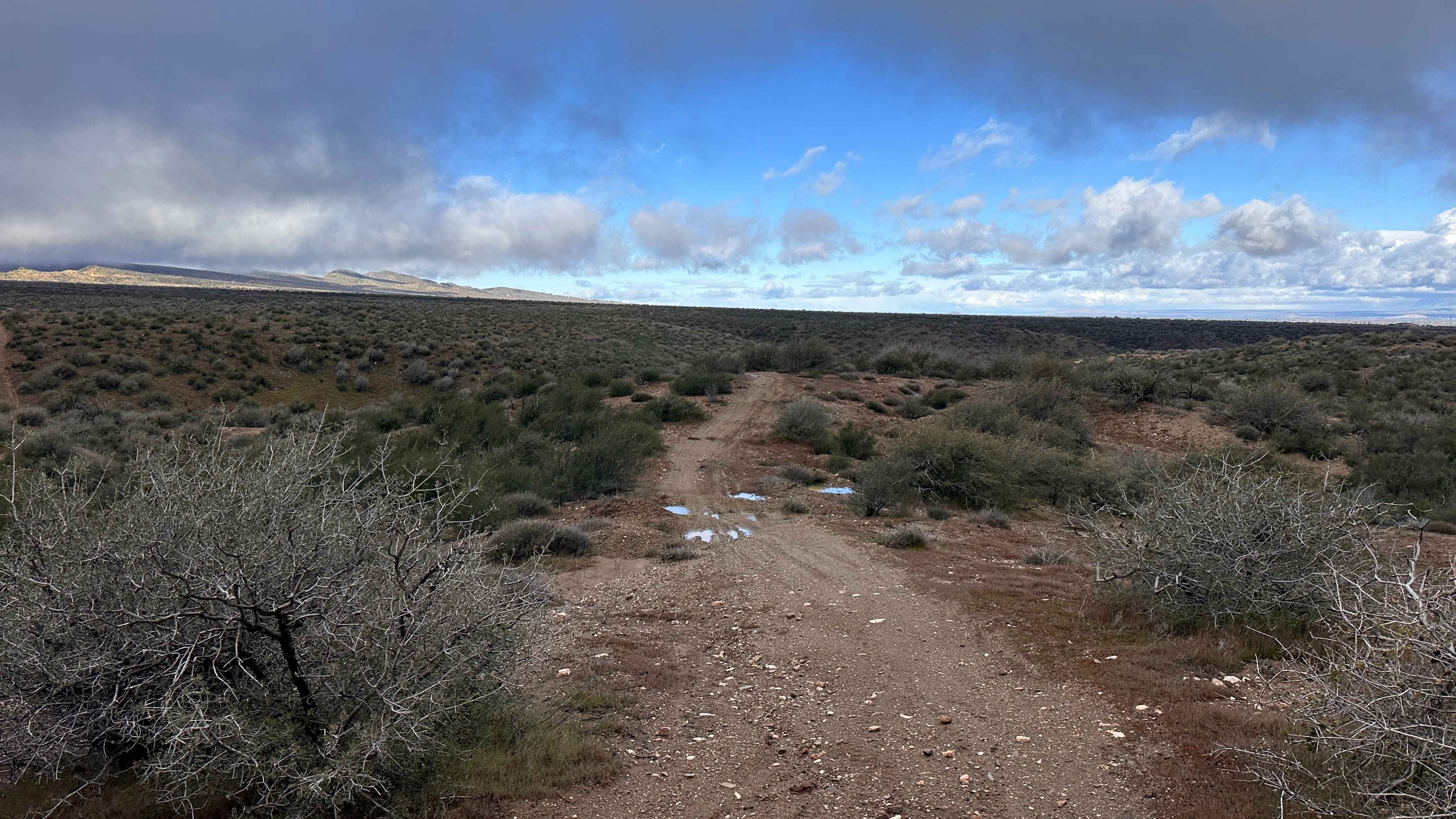
San Jacinto Ridge is a two-way trail running East to West between the Banning-Idyllwild Panoramic Highway (SR 243) and Bee Canyon Road (FS 5S07) in the San Bernardino National Forest. Comprised of mostly hard-pack dirt, the trail weaves through chaparral and pine trees and crosses over the North fork of the San Jacinto River. Several semi-improved yellow post campsites are located along the trail and are available on a first-come first-served basis. San Jacinto Ridge is rated by the National Forest Service as "More Difficult", the middle of a three-tiered rating system. The most significant obstacles are a shallow water crossing and mild rain ruts that can easily be negotiated by most unmodified high-clearance AWD vehicles. In early spring, snow melt may cause muddy conditions on portions of the trail with poor drainage. Due to occasional snowfall, this trail is best traveled between April and November.
Photos of San Jacinto Ridge Trail (FS 5S09)
Difficulty
The most significant obstacles are a shallow water crossing and mild rain ruts that can easily be negotiated by most unmodified high-clearance AWD vehicles. In early spring, snow melt may cause muddy conditions in portions of the trail with poor drainage.
History
The San Jacinto Ridge Trail lies along the Banning-Idyllwild Panoramic Highway which is part of the Palms to Pines Scenic Byway. The highway was originally completed in 1910 and officially designated as State Route 243 in 1970.
Status Reports
San Jacinto Ridge Trail (FS 5S09) can be accessed by the following ride types:
- High-Clearance 4x4
- SUV
- SxS (60")
- ATV (50")
- Dirt Bike
San Jacinto Ridge Trail (FS 5S09) Map
Popular Trails
South Section of the Sand Superhighway
BM Bush Run
The onX Offroad Difference
onX Offroad combines trail photos, descriptions, difficulty ratings, width restrictions, seasonality, and more in a user-friendly interface. Available on all devices, with offline access and full compatibility with CarPlay and Android Auto. Discover what you’re missing today!