Cerro Gordo Backdoor
Total Miles
16.6
Technical Rating
Best Time
Spring, Summer, Fall
Trail Type
High-Clearance 4x4 Trail
Accessible By
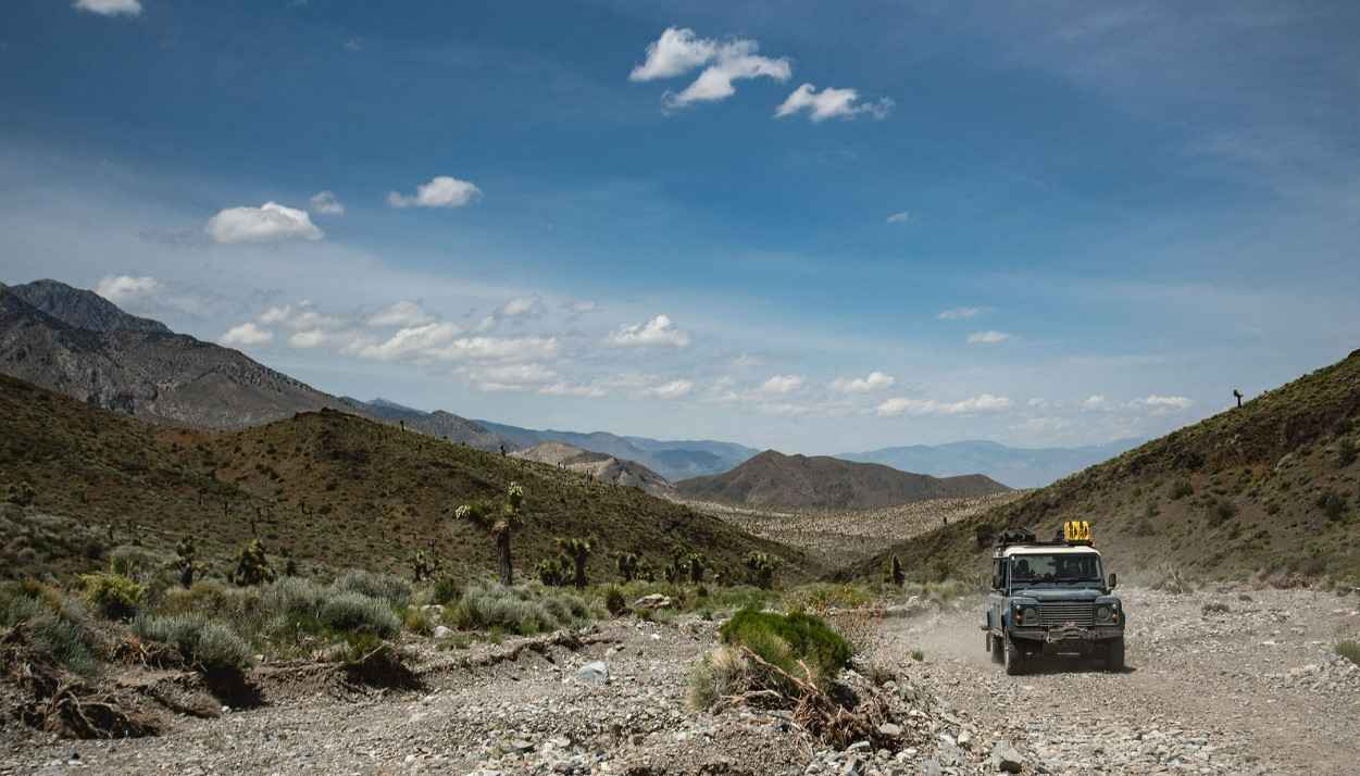
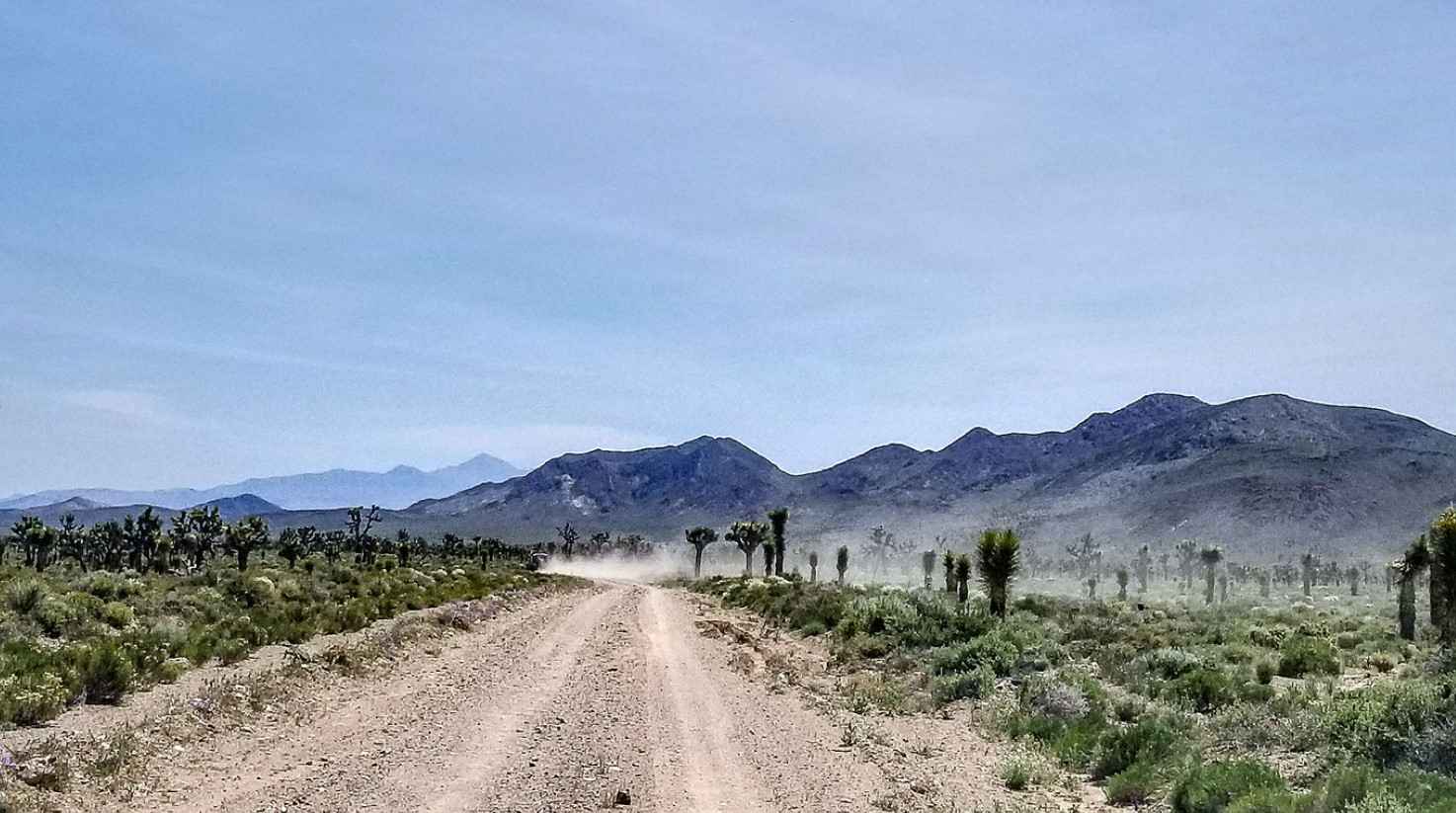
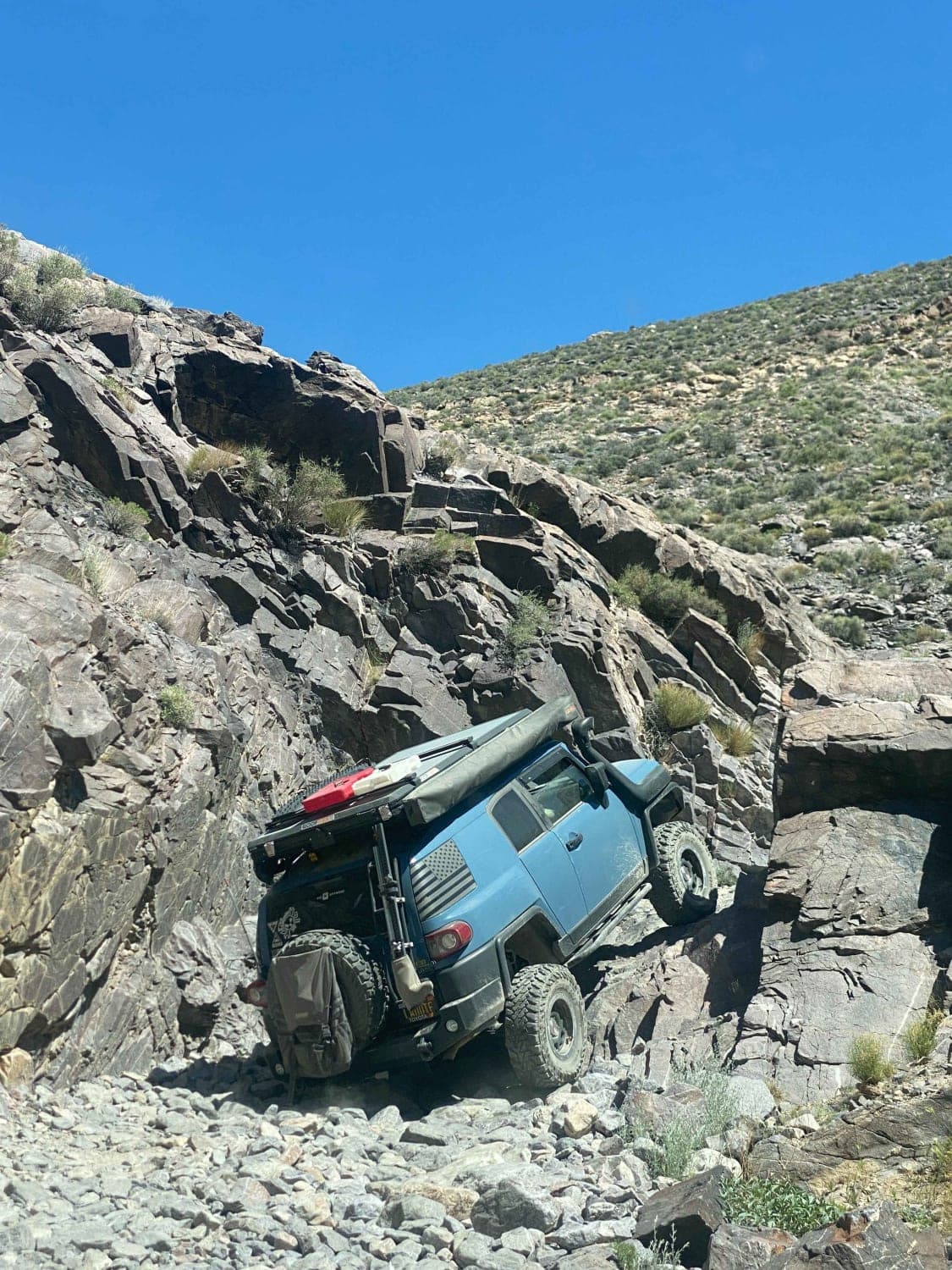
Trail Overview
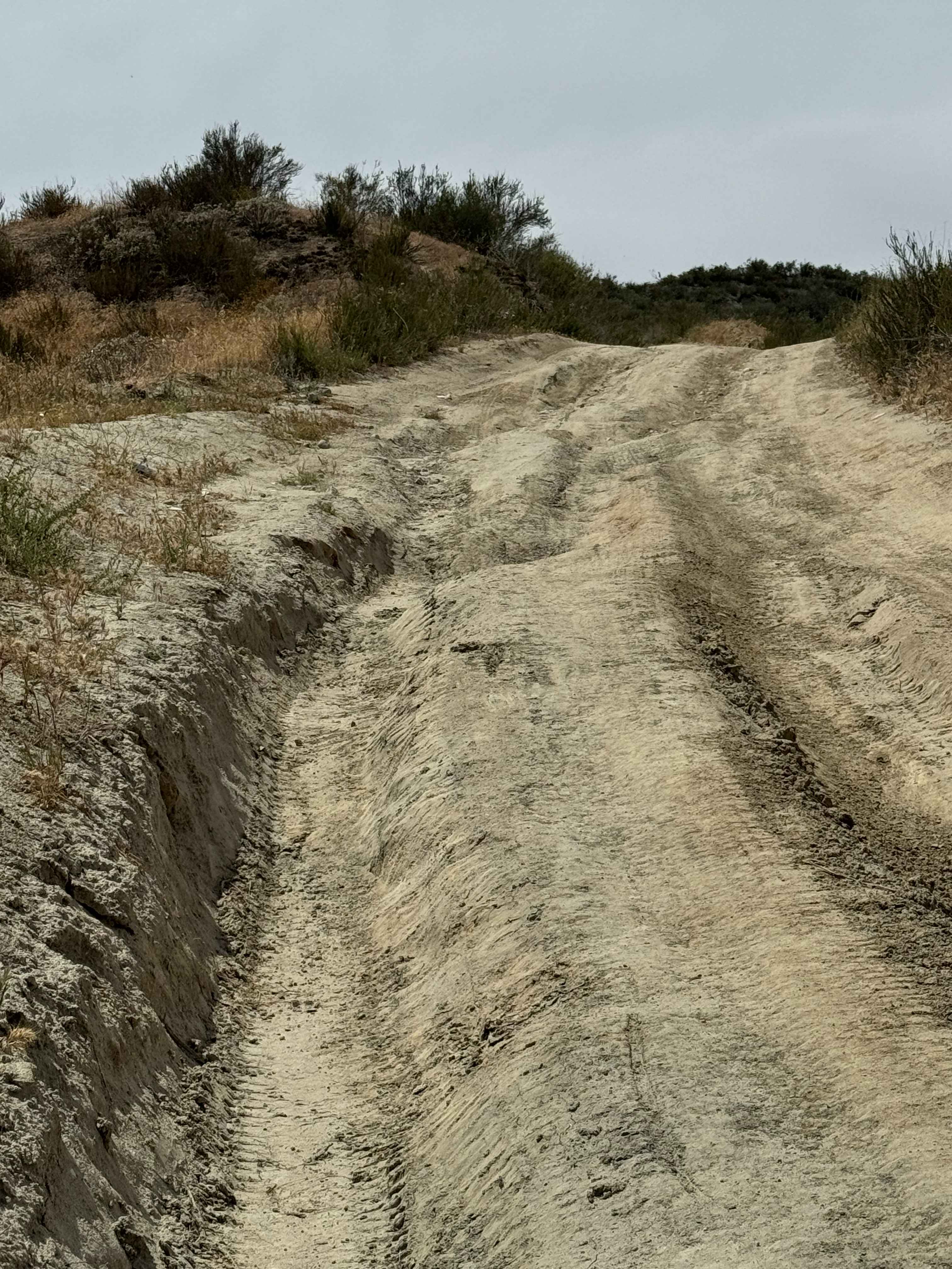
This little-used route provides access to the Cerro Gordo mining ghost town from Death Valley. The route follows White Talc Road from Saline Valley Road in Death Valley, meandering along the valley floor at roughly 5,000 feet, and then climbs steeply up 3,000 feet along the Cerro Gordo Road. This route is mostly rough rock. There is no signal, and other than the occasional ranger patrol along the White Talc road down in the valley (the ranger was surprised to see us), it receives very little use. A portion of this route is in the Death Valley National Park, where all vehicles are required to be street legal. This route is seasonally closed by snow.
Photos of Cerro Gordo Backdoor
Difficulty
rated 4 for steep and loose climbs
Status Reports
Cerro Gordo Backdoor can be accessed by the following ride types:
- High-Clearance 4x4
Cerro Gordo Backdoor Map
Popular Trails
Forest Service Road 1S22
Funeral Mountains Trail
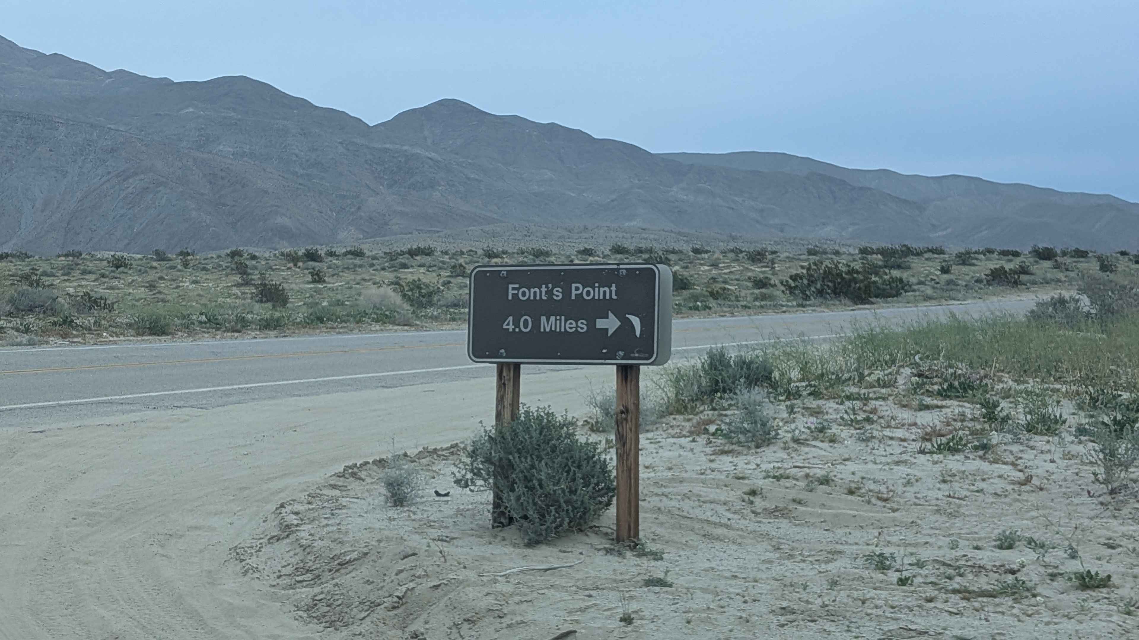
Fonts Point Wash
The onX Offroad Difference
onX Offroad combines trail photos, descriptions, difficulty ratings, width restrictions, seasonality, and more in a user-friendly interface. Available on all devices, with offline access and full compatibility with CarPlay and Android Auto. Discover what you’re missing today!