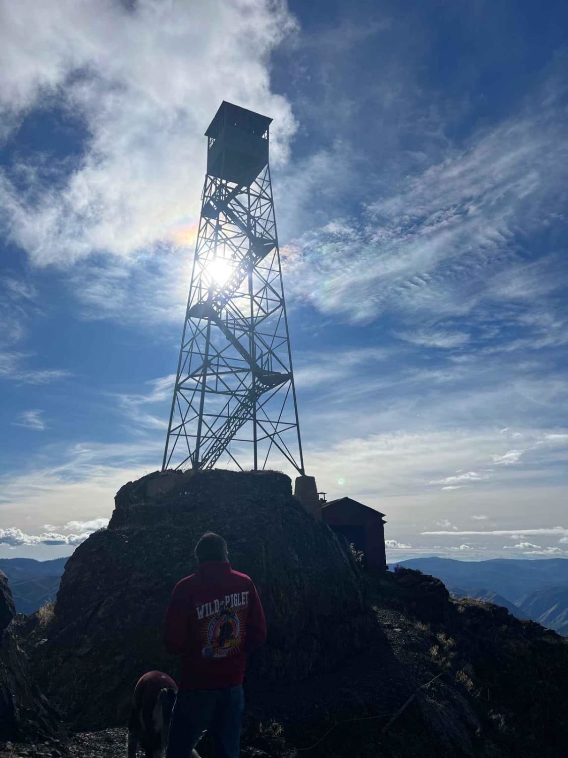
Trumbull Peak
Total Miles
18.5
Technical Rating
Best Time
Spring, Summer, Fall
Trail Type
Full-Width Road
Accessible By
Trail Overview
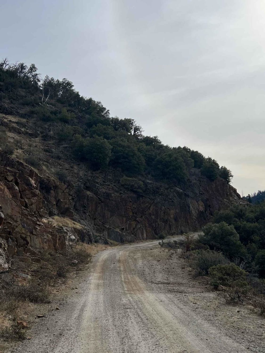
This is a beautiful drive between the Groveland and Yosemite areas leading up to the (45-foot-tall) Trumbull Peak fire tower built in 1934-35. On your way to the tower, you will get some pretty breathtaking views of Half Dome and the surrounding mountain ranges as well as the Merced River Canyon. The trail starts as easy forest roads but does get a little rutted and rocky as well as narrow on the last stretch to the tower. The trail is closed from December 15 to April 15 due to seasonal road closures.
Photos of Trumbull Peak
Difficulty
The trail starts out easy (no 4x4 needed) but does get a little more technical in the last mile or two to the tower. There are some bigger rocks and ruts to maneuver through and some narrow bushes on the way to the tower, so pinstripes are inevitable.
History
This is a special interest area, so stay on the trail. You are also not supposed to camp in the parking area of the tower. There is more information about the tower on the USFS website.
Status Reports
Trumbull Peak can be accessed by the following ride types:
- High-Clearance 4x4
- SUV
- SxS (60")
- ATV (50")
- Dirt Bike
Trumbull Peak Map
Popular Trails

Old Searles Station Road
Idyllwild Mountain Road
Panum Crater Pit - FS 1N30
Pinnacles to Spangler Hills OHV Area
The onX Offroad Difference
onX Offroad combines trail photos, descriptions, difficulty ratings, width restrictions, seasonality, and more in a user-friendly interface. Available on all devices, with offline access and full compatibility with CarPlay and Android Auto. Discover what you’re missing today!
