15S18 Sheephead Mountain Road
Total Miles
6.9
Technical Rating
Best Time
Spring, Summer, Fall, Winter
Trail Type
Full-Width Road
Accessible By
Trail Overview
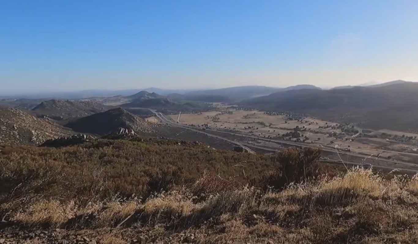
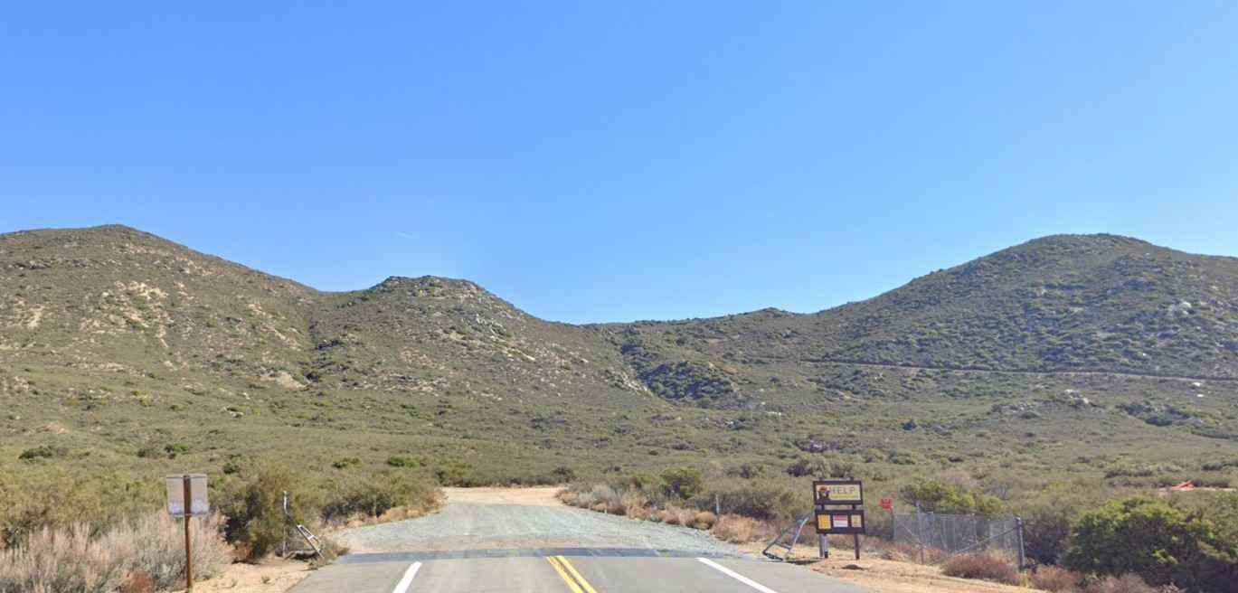
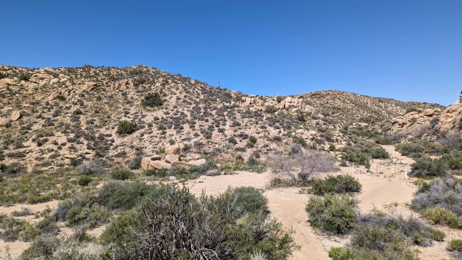
15S18 Sheephead Mountain Road is a 4.6-mile out-and-back trail rated 3 of 10 located within the Cleveland National Forest, Descanso Ranger District. The trail to the top is a full 6.8 miles, but due to a slide, the trail is closed at the 2.3-mile point. This trail is a continual climb from the trailhead to this point of nearly 1,000 feet. The remaining 4.5 miles will gain an additional 1,000 feet for those that hike to the top. The trail starts relatively smooth but quickly becomes more of a shelf road with multiple washouts during the climb. There is plenty of room to turn around at the end of the trail and a permanent fence marks the beginning of the hiking trail. Cell phone service is intermittent. The nearest services are located along Interstate 8.
Photos of 15S18 Sheephead Mountain Road
Difficulty
The trail consists of loose rocks, dirt, and sand with some slick rock surfaces. Mud holes are possible, but there are no steps higher than 12 inches. 4WD may be required, and aggressive tires are a plus.
History
Sheephead Mountain is a rather prominent peak in the southern end of the Laguna Mountains of eastern San Diego County. Although its flanks are dominated by chaparral, manzanita, and similar brush, the surrounding lands have matured stands of pine trees and nice grassy meadows. Sheephead Mountain gets its name from the unusual boulder formation on its summit which resembles an entire sheep's body, not just its head. Though it falls short of the San Diego 6,000-footer list, it does make the Sierra Club Hundred Peaks Section List, and its summit views are fantastic. With views far into Mexico and the eastern desert, on clearer days, Sheephead Mountain allows you to see Toro Peak and San Jacinto Peak to the north and the Pacific Ocean to the west.
Status Reports
15S18 Sheephead Mountain Road can be accessed by the following ride types:
- High-Clearance 4x4
- SUV
15S18 Sheephead Mountain Road Map
Popular Trails
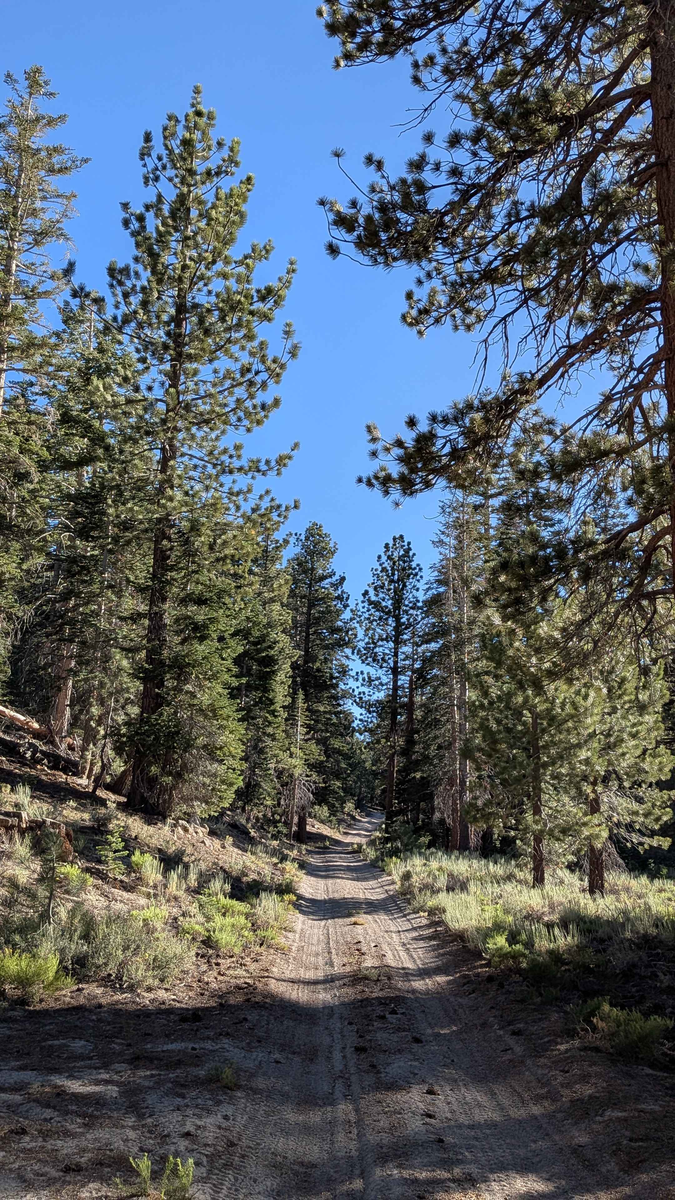
Red Fir Road - FS3S24
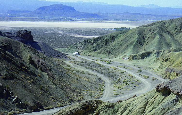
Odessa-Doran Loop

Thor's Hammer
Spur - BLM C2315
The onX Offroad Difference
onX Offroad combines trail photos, descriptions, difficulty ratings, width restrictions, seasonality, and more in a user-friendly interface. Available on all devices, with offline access and full compatibility with CarPlay and Android Auto. Discover what you’re missing today!
