Webber Mill
Total Miles
8.1
Technical Rating
Best Time
Spring, Summer, Fall
Trail Type
Full-Width Road
Accessible By
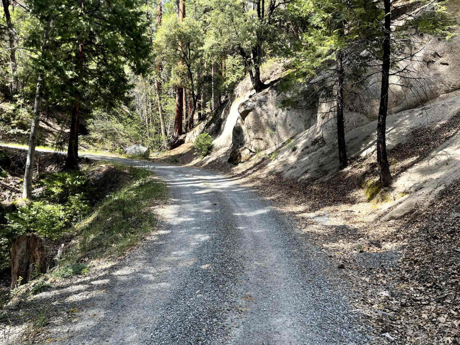
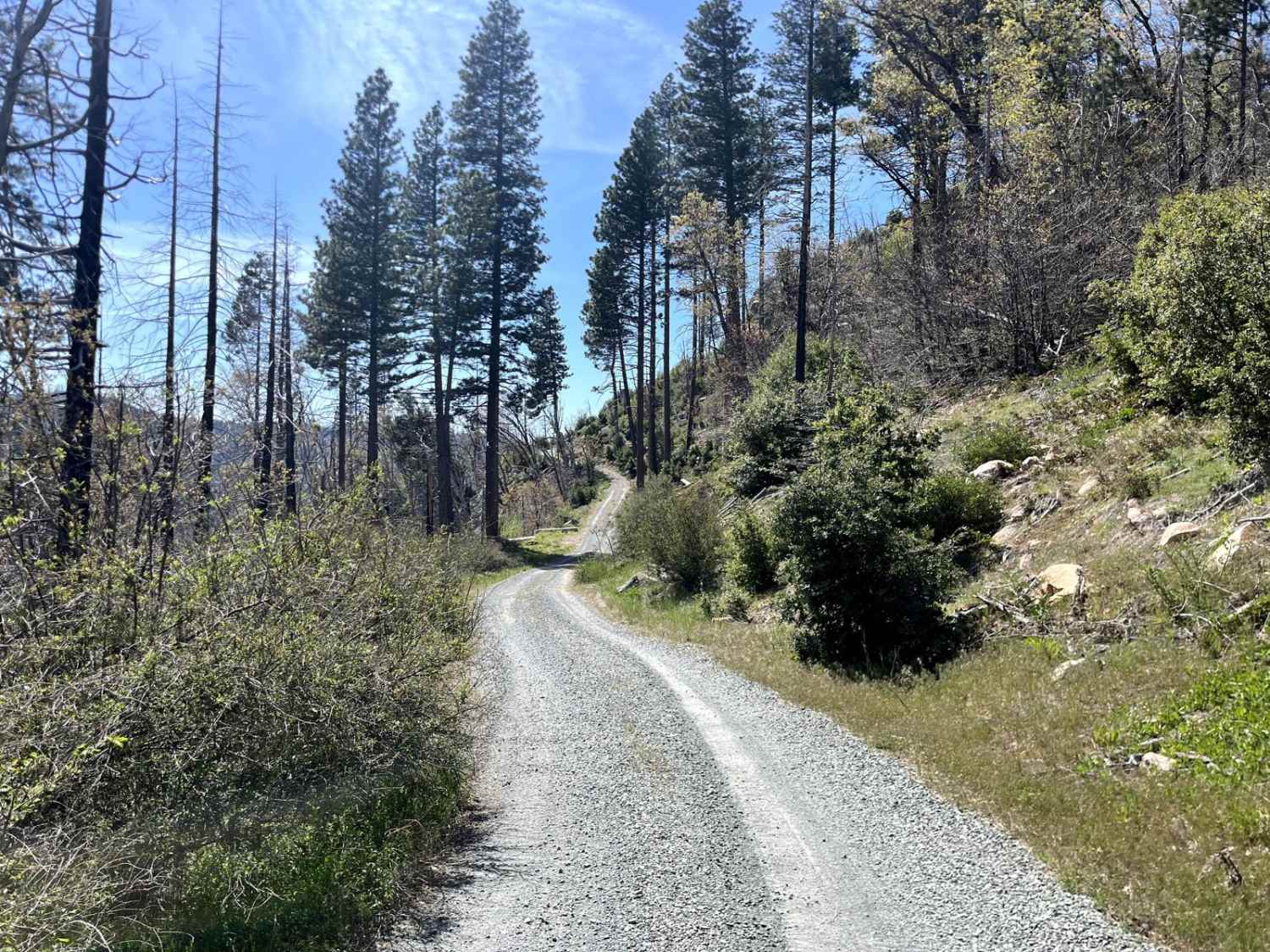
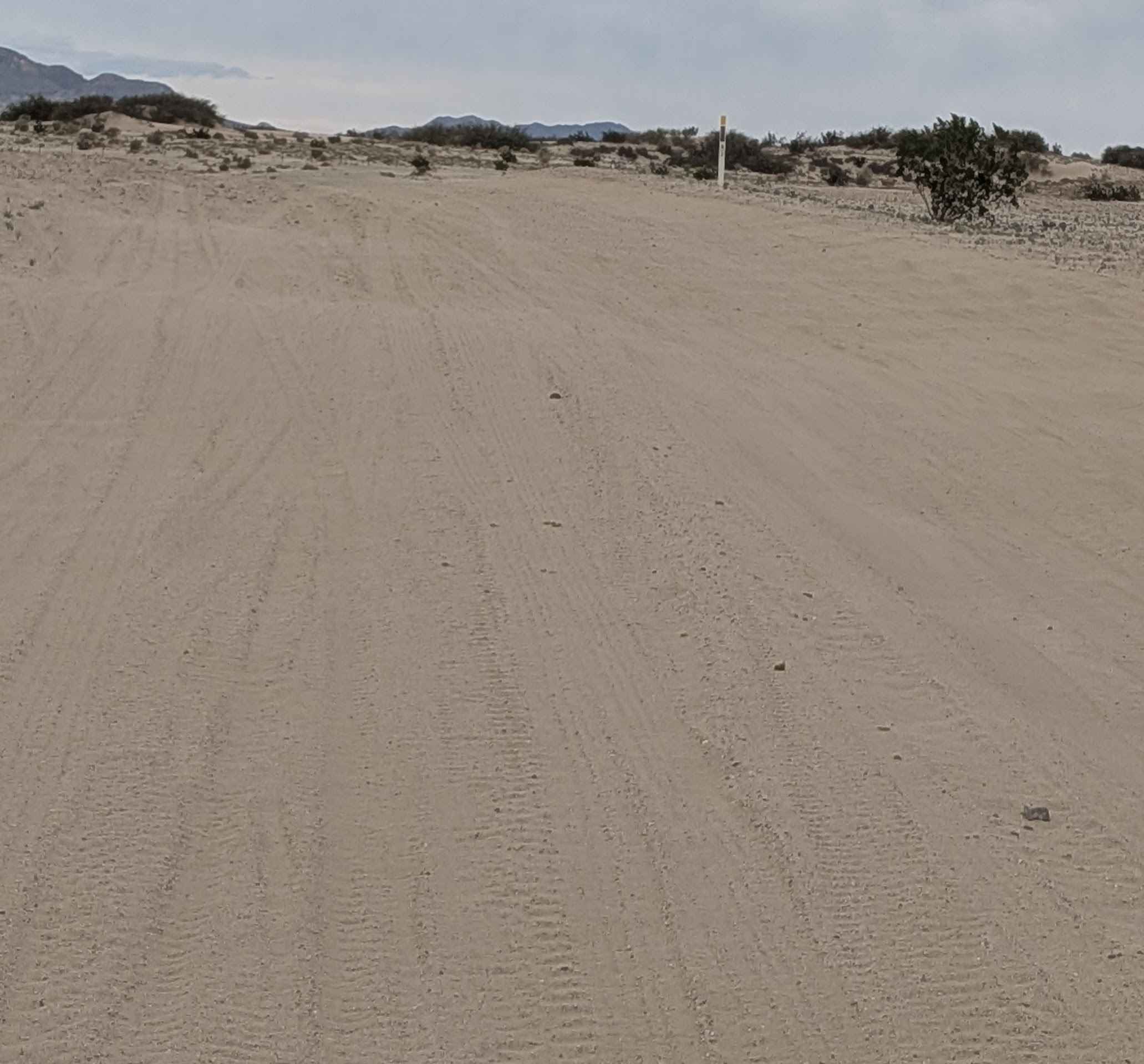
Trail Overview
Webber Mill is an easy gravel road that follows an 8-mile section of the Pony Express Trail and is also a small part of the Northern California BDR. The trail winds along the side of the mountain from just east of Sand Flat Campground to Ice House Road and overlooks the South Fork of the American River and Highway 50. There are a few trails that shoot off of Webber Mill, along with a few spots to camp along the way.
Photos of Webber Mill
Difficulty
The trail is a maintained gravel road that's easy for any high-clearance vehicle.
History
Historical Route that is part of the Pony Express Trail
Status Reports
Webber Mill can be accessed by the following ride types:
- High-Clearance 4x4
- SUV
- Dirt Bike
Webber Mill Map
Popular Trails
Lower Kessler Peak Trail
The Main North to South Access Wash
Barrel Spring Trail
Racetrack via Hunter Mountain
The onX Offroad Difference
onX Offroad combines trail photos, descriptions, difficulty ratings, width restrictions, seasonality, and more in a user-friendly interface. Available on all devices, with offline access and full compatibility with CarPlay and Android Auto. Discover what you’re missing today!