San Francisquito Motorway
Total Miles
6.2
Technical Rating
Best Time
Spring, Summer, Fall, Winter
Trail Type
Full-Width Road
Accessible By
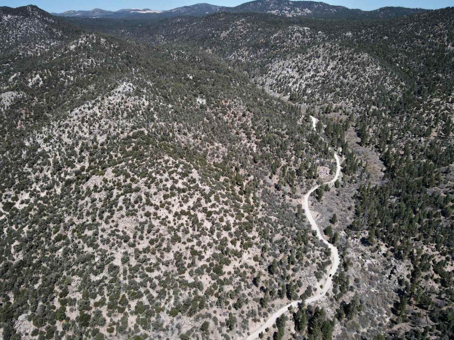
Trail Overview
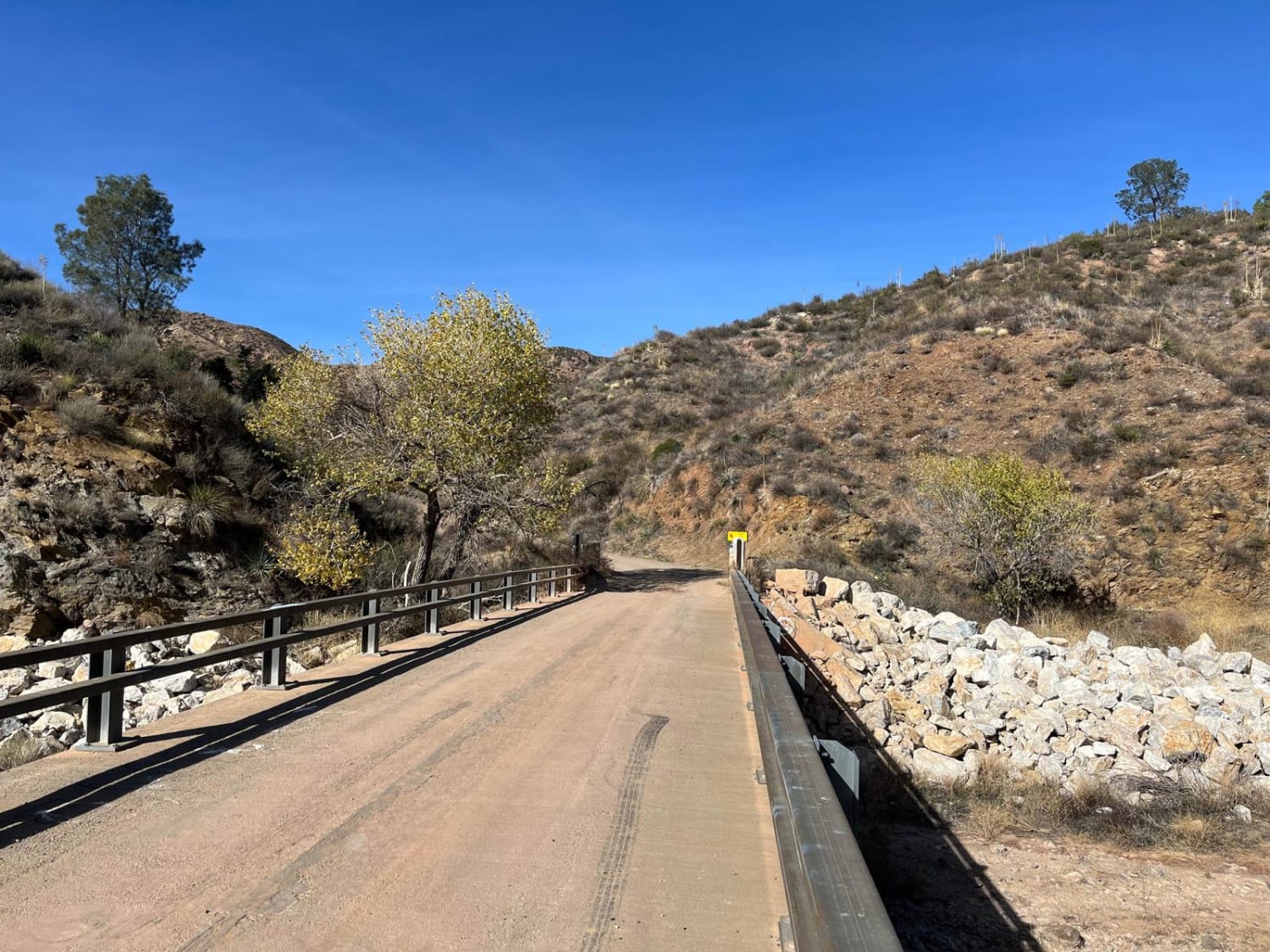
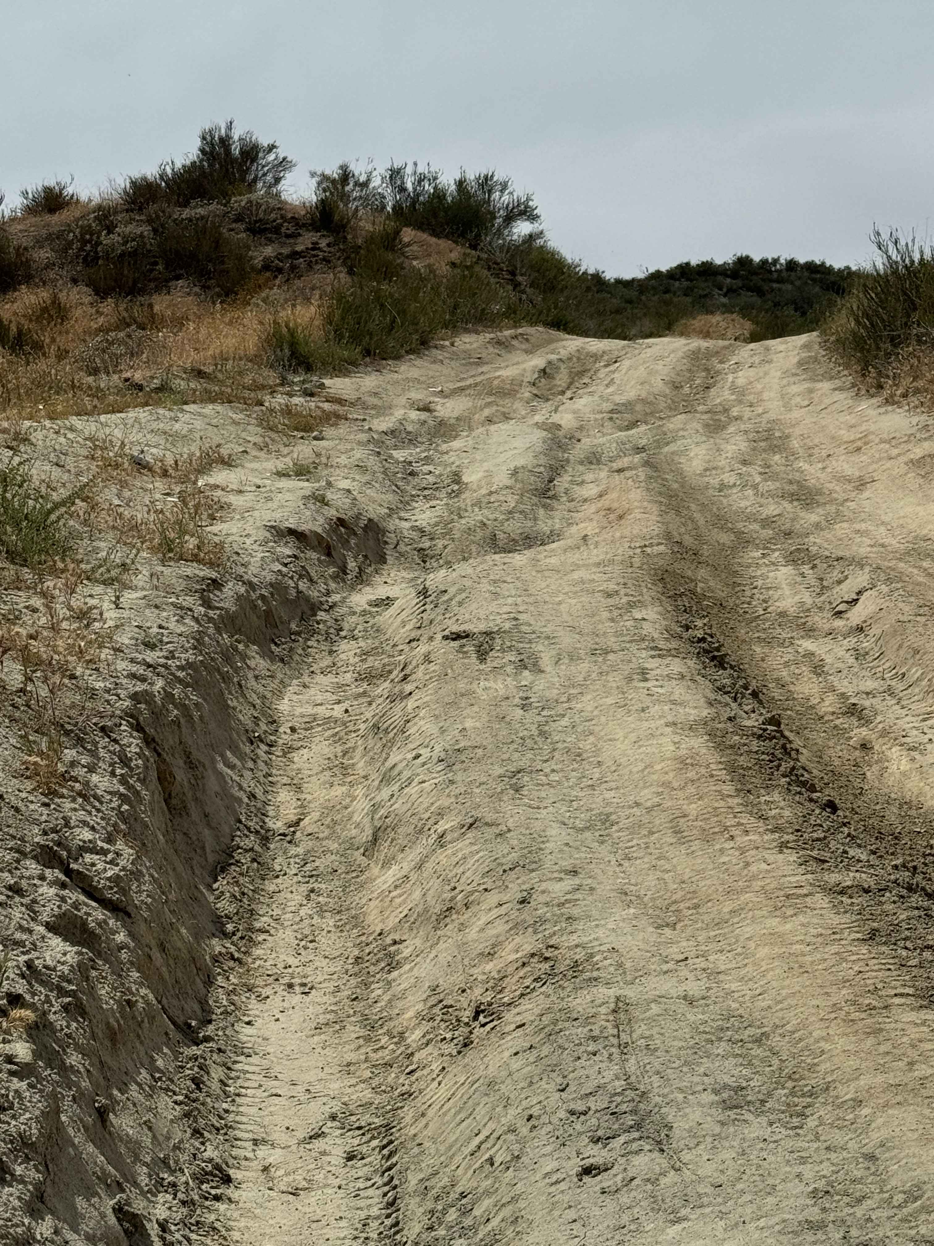
This is a relatively easy dirt road just outside Santa Clarita. It is usually low-traffic, and the main road doesn't even require 4x4. There are however several side trails (mostly short) that are steep, rutted, and require 4x4 and in some cases a rear locker. There are plenty of turnouts and viewpoints. There is also a short hike you can take out to a viewpoint to see the old St. Francis Dam disaster. This great short route to get out and away from the city.
Photos of San Francisquito Motorway
Difficulty
Usually doable without 4x4. Still potential for some rutting and rocks, so some clearance is preferable. Some of the side obstacles may require lockers, but all are optional.
History
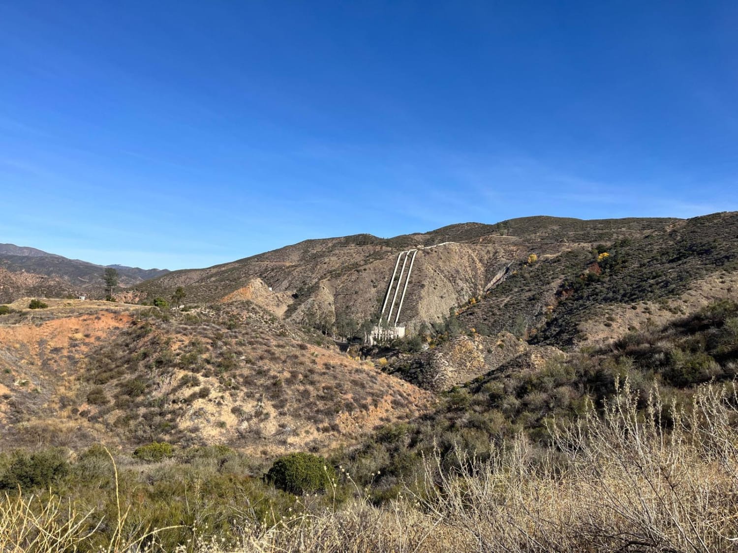
The trail runs along St. Francisquito Canyon, the site of the 1928 St. Francis Dam disaster and the Los Angeles Aqueduct. If you hike out to the viewpoint, you can still see remnants of the dam disaster, which killed at least 431 people. At the beginning of the trail, you can also see the pipes from the Los Angeles Aqueduct.
Status Reports
San Francisquito Motorway can be accessed by the following ride types:
- High-Clearance 4x4
- SUV
- SxS (60")
- ATV (50")
- Dirt Bike
San Francisquito Motorway Map
Popular Trails
Van Dusen Canyon - 3N09

Peavine - FS 33
The onX Offroad Difference
onX Offroad combines trail photos, descriptions, difficulty ratings, width restrictions, seasonality, and more in a user-friendly interface. Available on all devices, with offline access and full compatibility with CarPlay and Android Auto. Discover what you’re missing today!