Sage Hen Meadows Road
Total Miles
4.5
Technical Rating
Best Time
Summer, Fall, Spring
Trail Type
Full-Width Road
Accessible By
Trail Overview
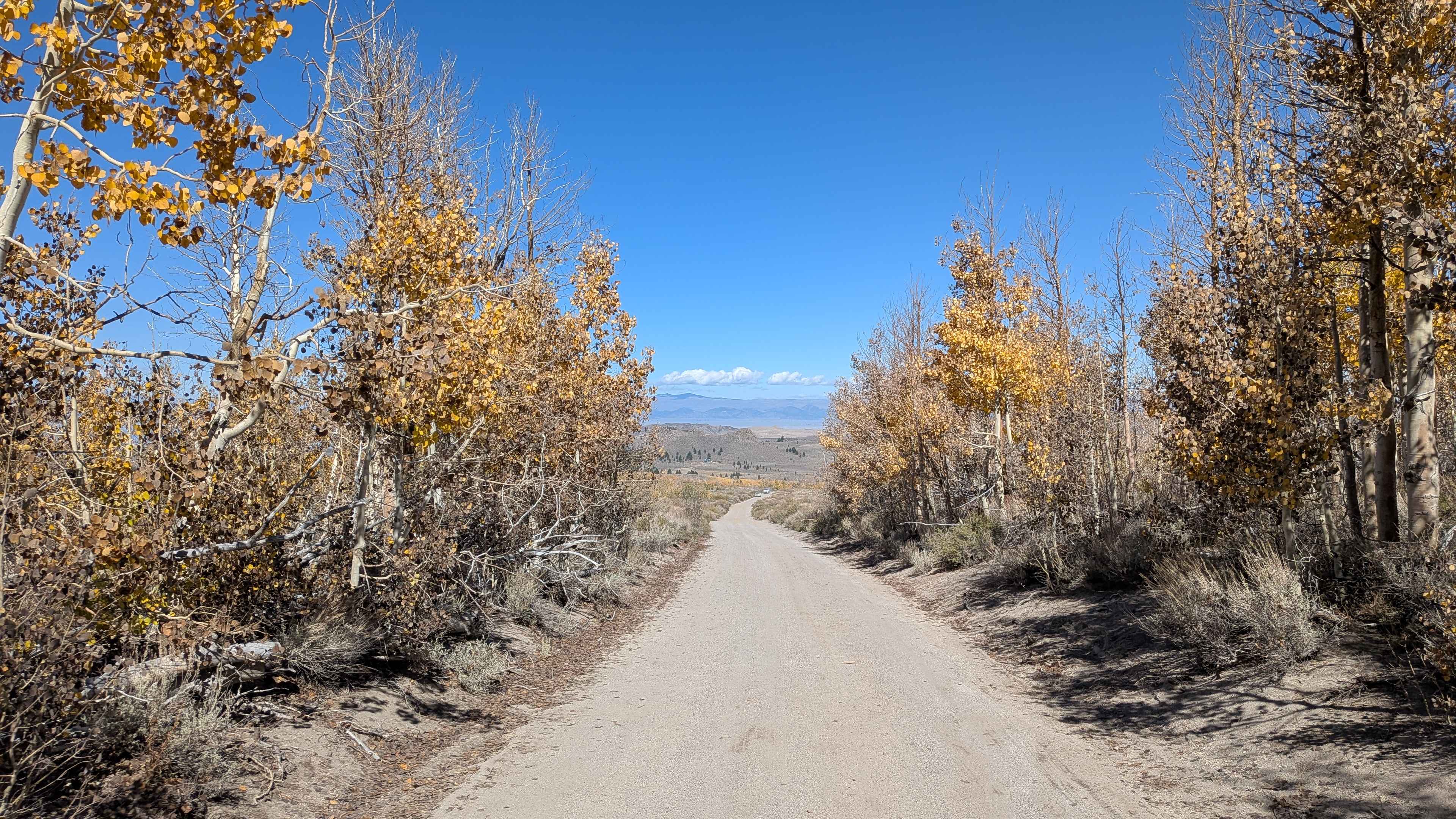
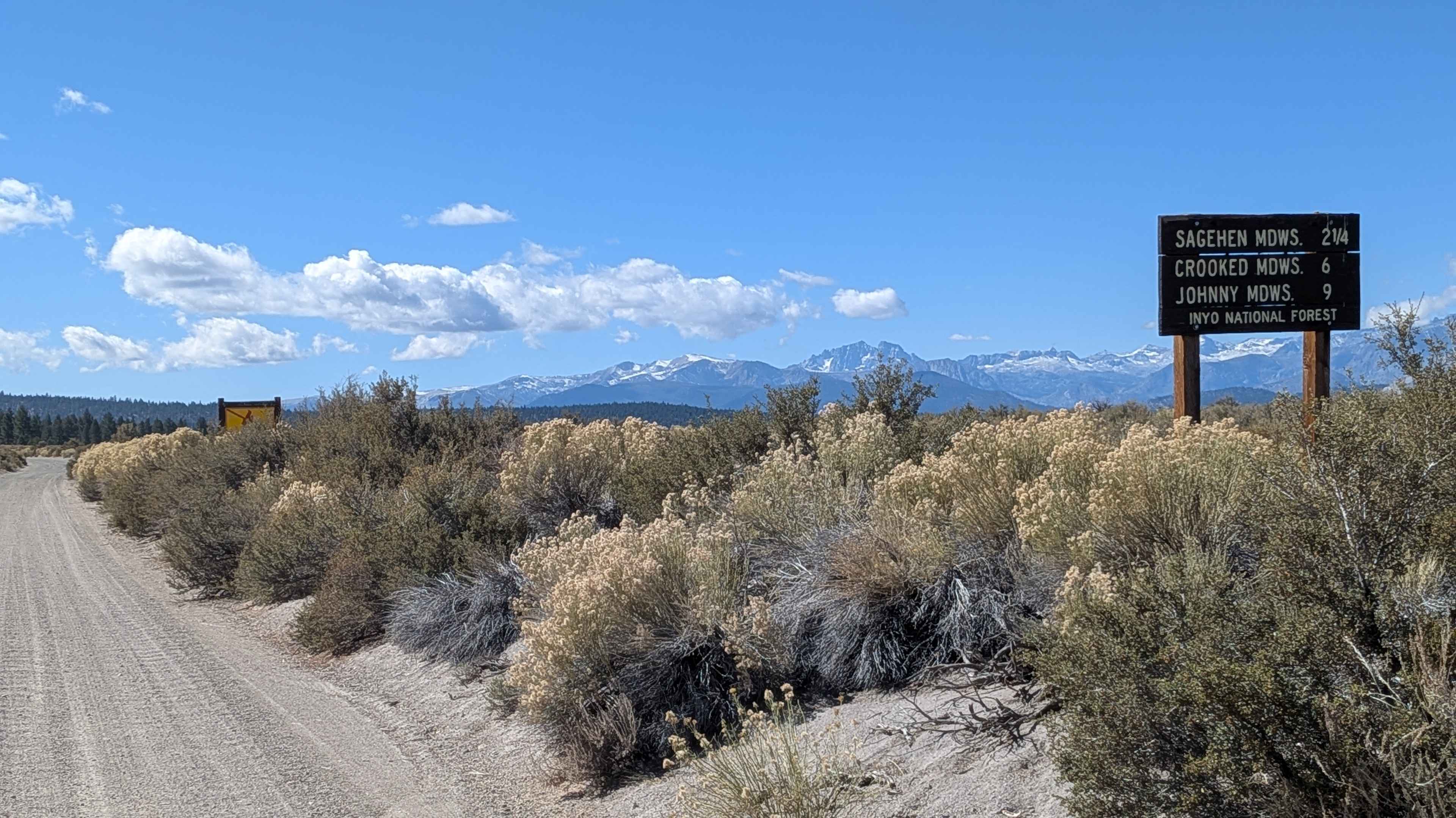
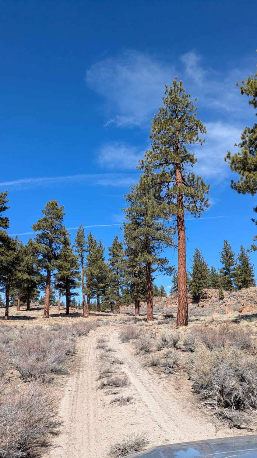
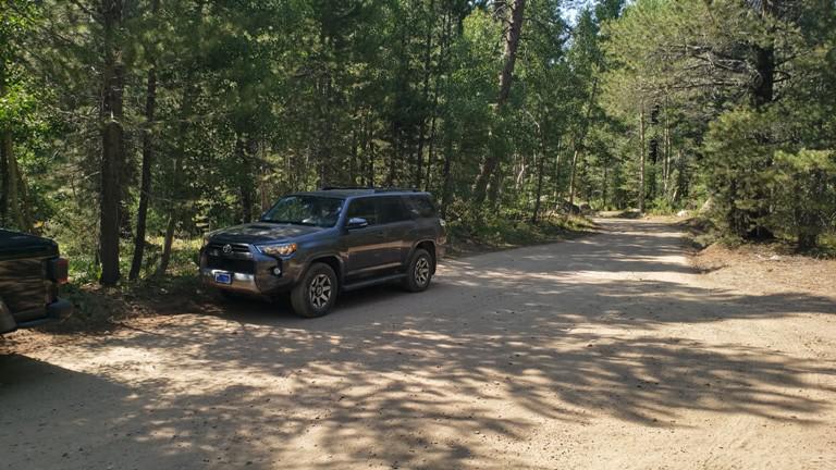
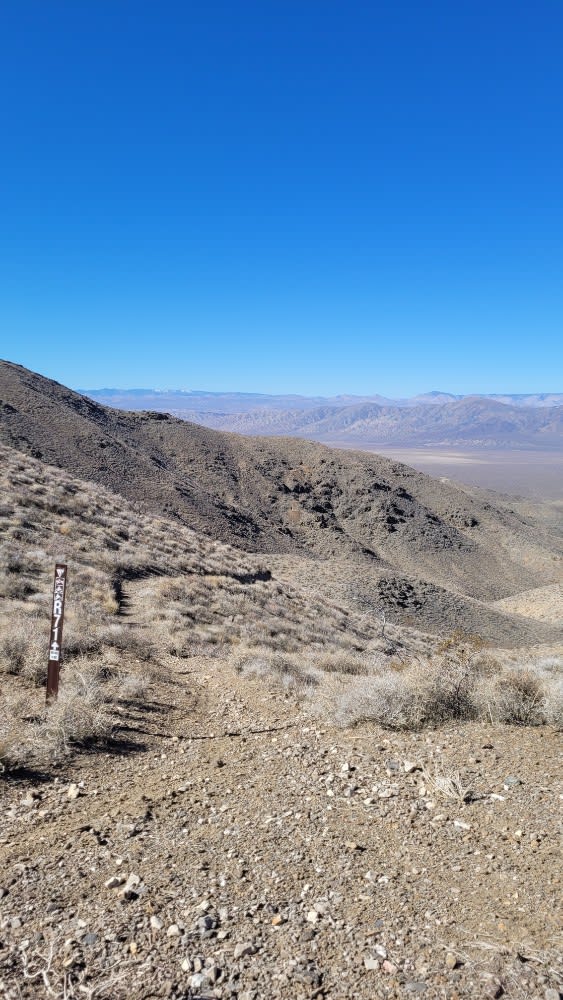
This 4.5-mile point-to-point trail climbs almost 1,000 feet and drops almost 200 feet from Highway 120 to FS 1N02. The sand and pumice surface is 1.5 to 2 vehicles wide and seasonally graded, so watch for incoming traffic. The trail goes by Sage Hen Peak with Sage Hen Campground nearby. Lined with pines and aspens, this trail runs through Sage Hen Meadows, a full aspen grove with stunning fall colors, making it very popular for foliage tours. Views include rock formations,the Eastern Sierra mountains, and the mountain ranges toward Nevada. After the aspen meadow, it opens up and then enters a pine forest. It is a very dusty trail.
Photos of Sage Hen Meadows Road
Difficulty
This trail features significant washboarding close to Highway 120 due to heavy traffic, but is otherwise free of obstacles.
History
The terrain in this region, including the meadows, reflects a long legacy of glacial activity, with valleys carved out by glacial ice. This glacial shaping, along with the hydrology of the area, created the conditions for a lush, wet meadow to form, which functions like a natural "sponge" by absorbing water and releasing it slowly.
Status Reports
Sage Hen Meadows Road can be accessed by the following ride types:
- High-Clearance 4x4
- SUV
- SxS (60")
- ATV (50")
- Dirt Bike
Sage Hen Meadows Road Map
Popular Trails
Round Mountain Loop - FS4S55
Burnside Lake Road - 31019

Silver Knob - FS 6S063
The onX Offroad Difference
onX Offroad combines trail photos, descriptions, difficulty ratings, width restrictions, seasonality, and more in a user-friendly interface. Available on all devices, with offline access and full compatibility with CarPlay and Android Auto. Discover what you’re missing today!