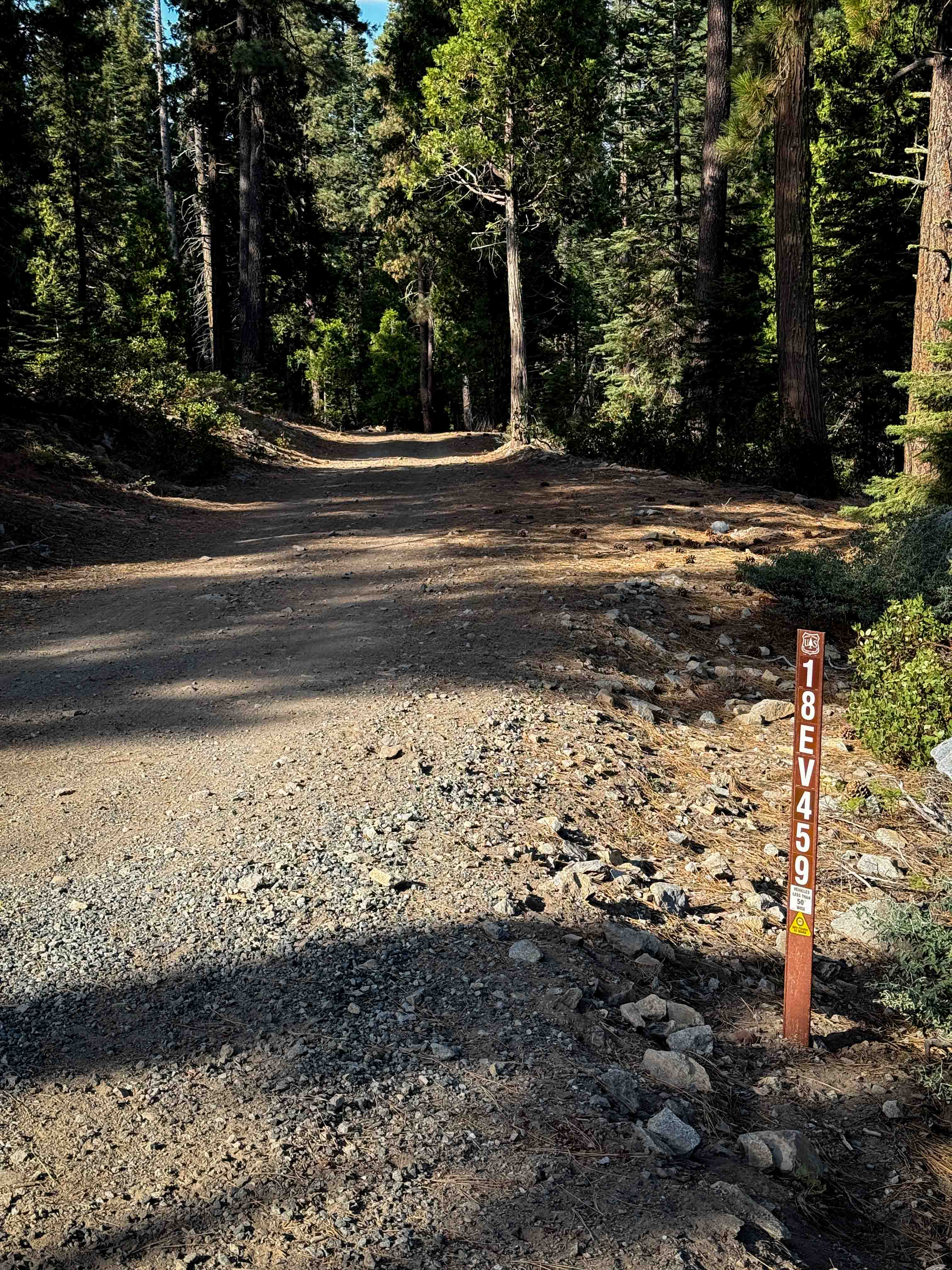
Sawmill Connector
Total Miles
1.4
Technical Rating
Best Time
Summer, Fall
Trail Type
Full-Width Road
Accessible By
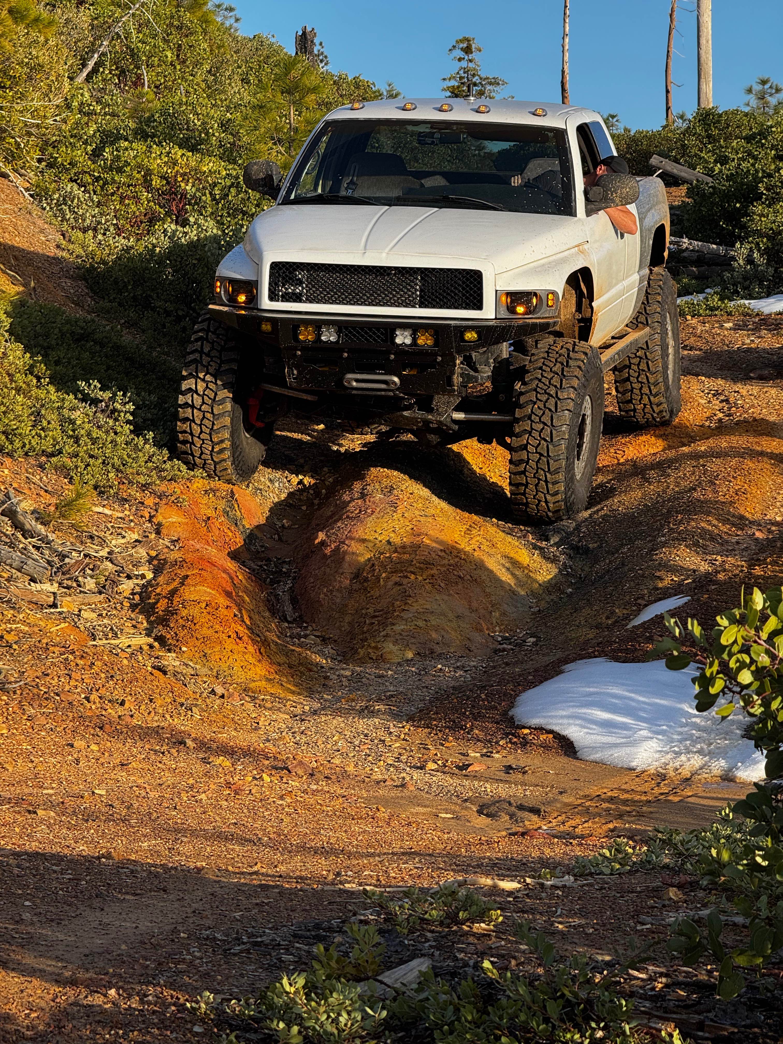
Trail Overview
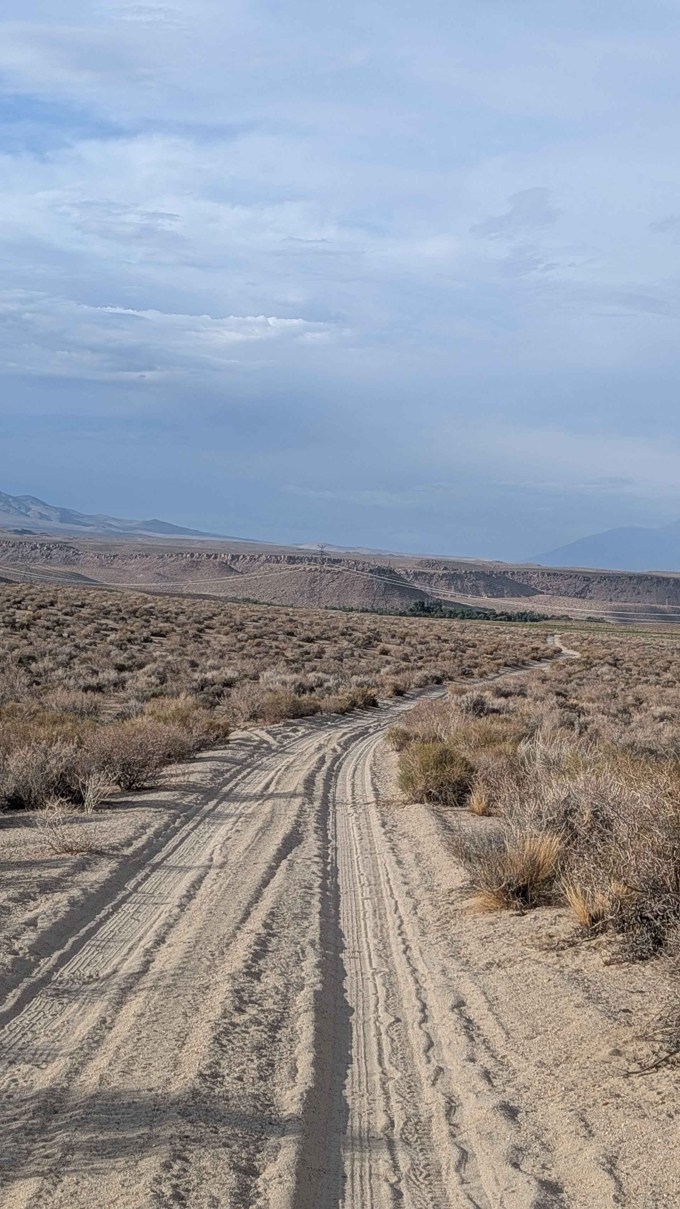
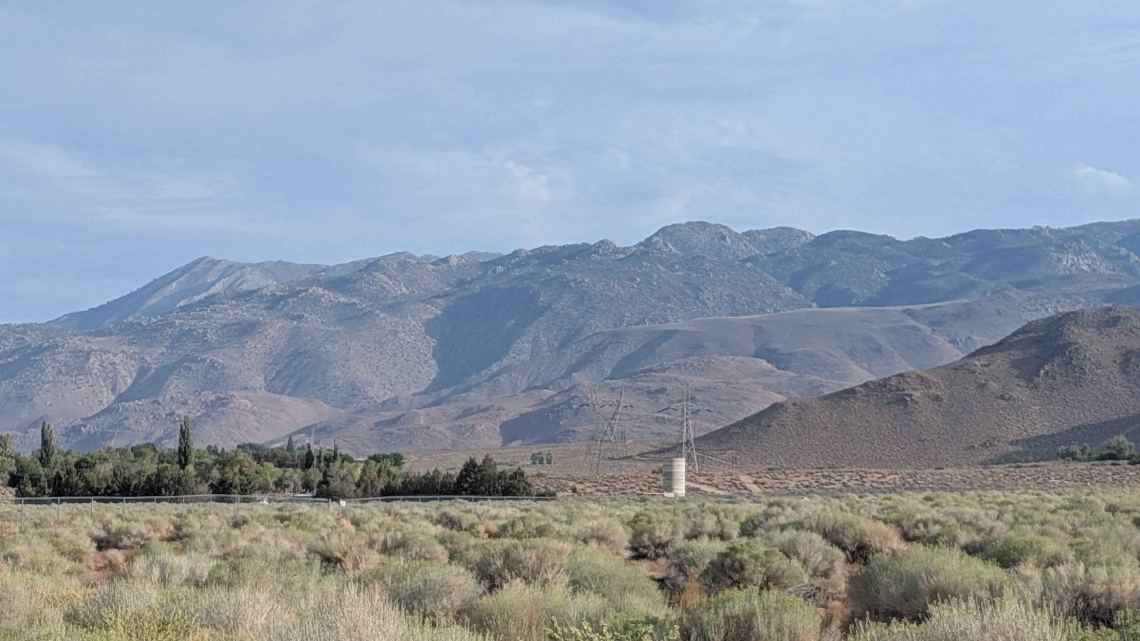
This sandy cutoff trail connects Sawmill Road with Tungsten City Road, dropping almost 300 feet in almost 1.5 miles. The route offers views in all directions, including the Eastern Sierras, the White Mountains, the Buttermilk area, as well as Bishop and Round Valley. The 395 is visible down below, along with the Owens River Gorge, providing a comprehensive panoramic perspective of the Eastern Sierra landscape from this elevated vantage point.
Photos of Sawmill Connector
Difficulty
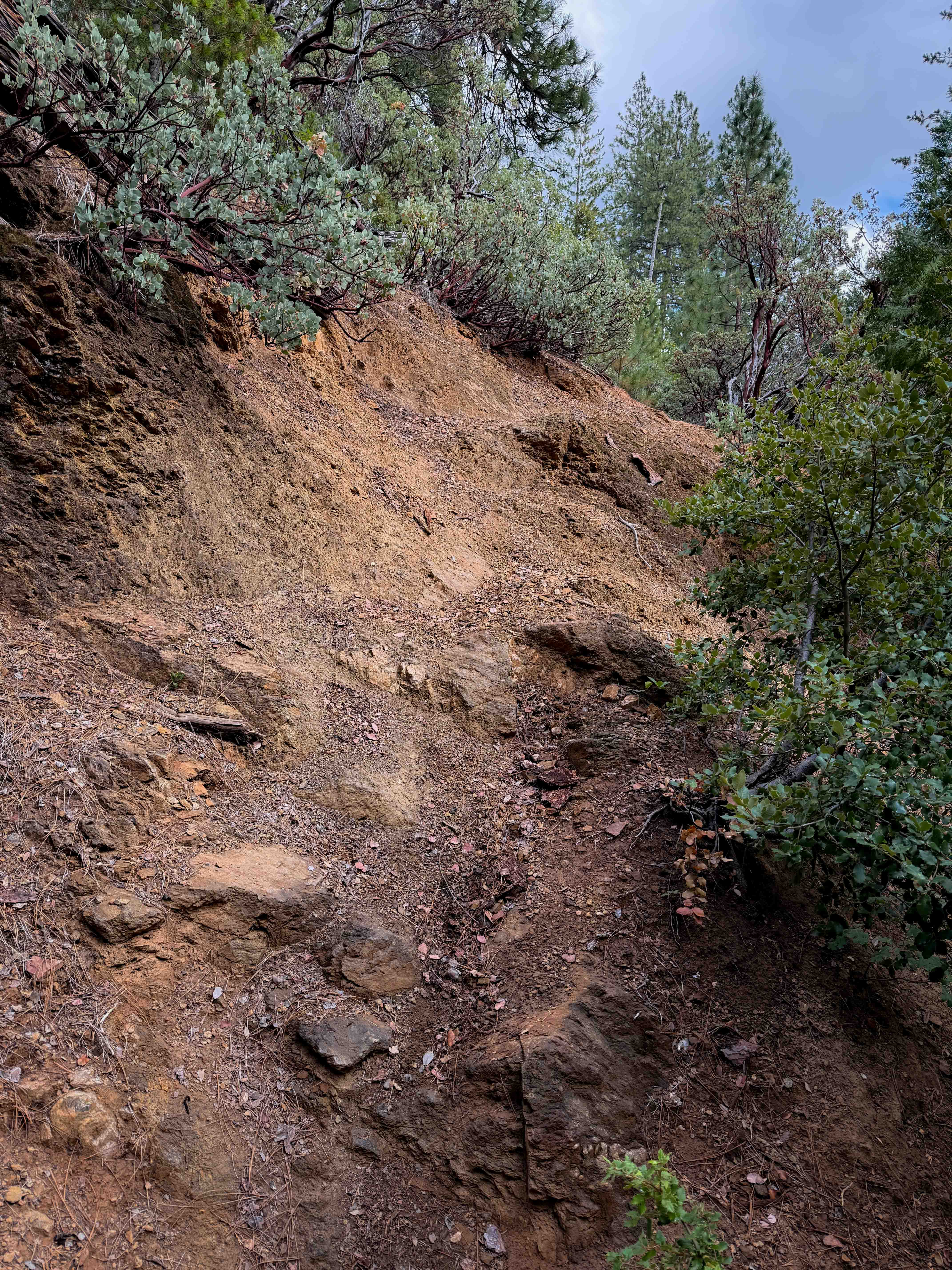
The trail is mostly sandy but has some rocks scattered and embedded throughout.
Status Reports
Sawmill Connector can be accessed by the following ride types:
- High-Clearance 4x4
- SUV
- SxS (60")
- ATV (50")
- Dirt Bike
Sawmill Connector Map
Popular Trails
The onX Offroad Difference
onX Offroad combines trail photos, descriptions, difficulty ratings, width restrictions, seasonality, and more in a user-friendly interface. Available on all devices, with offline access and full compatibility with CarPlay and Android Auto. Discover what you’re missing today!