R50
Total Miles
9.4
Technical Rating
Best Time
Spring
Trail Type
Full-Width Road
Accessible By
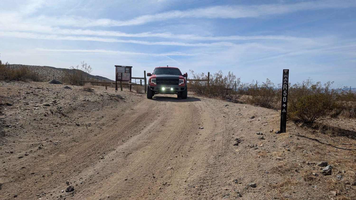
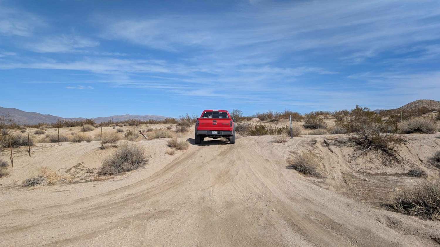
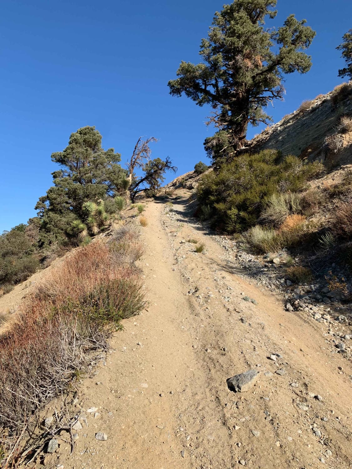
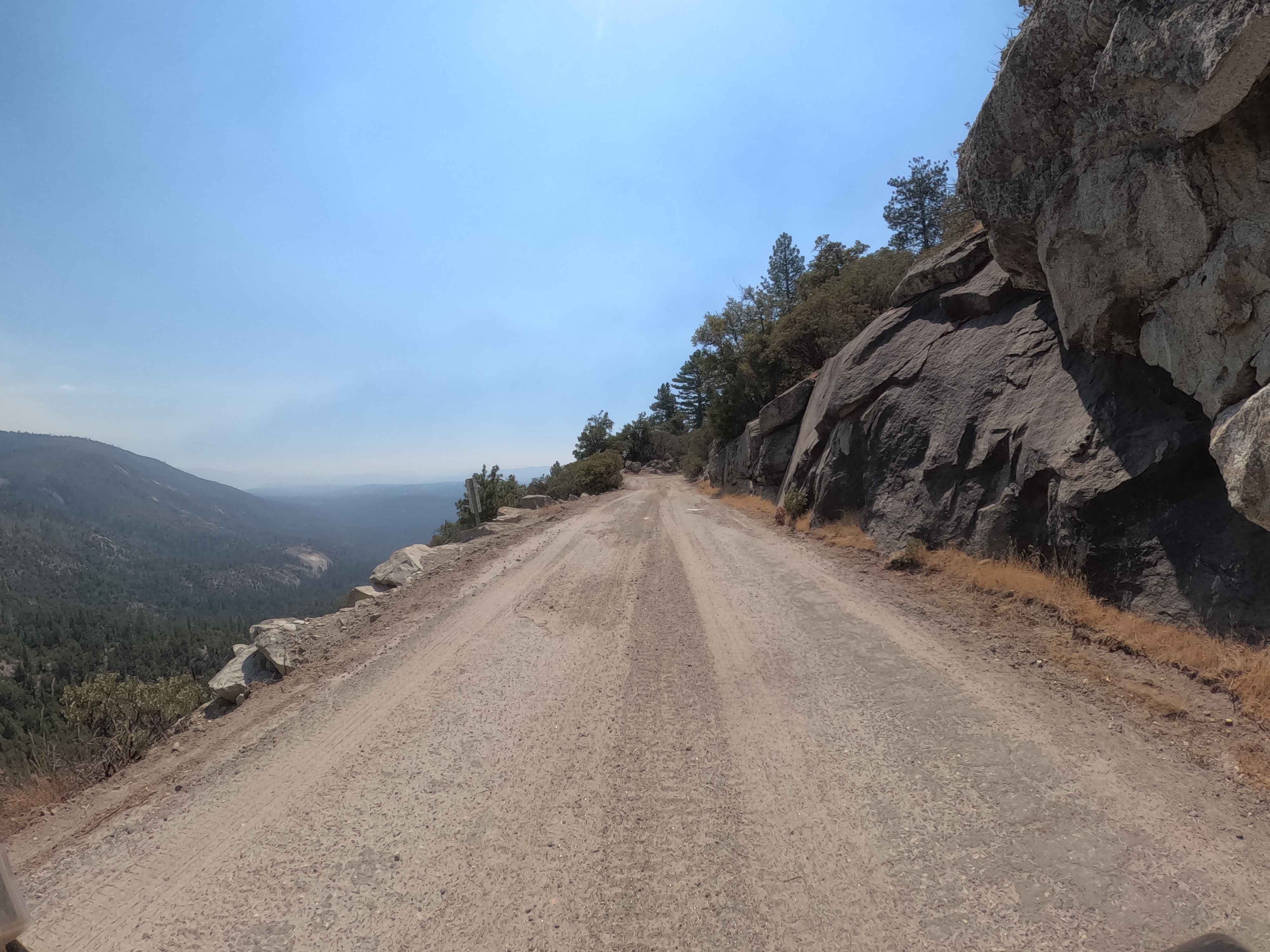
Trail Overview
This is a long, meandering trail along the base of the Rand Mountains on the Garlock side. There are a lot of loose rocks, some sand washes, and a few larger ruts. Watch for flash floods, the washes can fill up fast in thunderstorms. The cell signal is weak.
Photos of R50
Difficulty
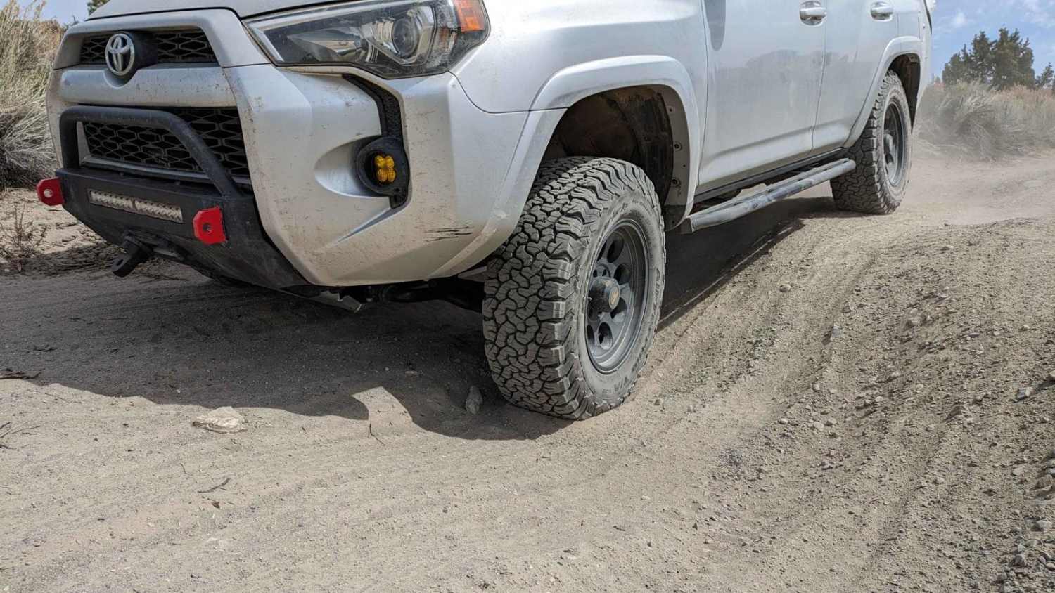
This is a very rocky trail with many washes to cross. There are some large ruts that make high clearance 4x4 almost a requirement.
Status Reports
R50 can be accessed by the following ride types:
- High-Clearance 4x4
- SUV
- SxS (60")
- ATV (50")
- Dirt Bike
R50 Map
Popular Trails
Little Hot Creek Hill Loop

To the Edge and Back
Central Camp - FS 6S042
The onX Offroad Difference
onX Offroad combines trail photos, descriptions, difficulty ratings, width restrictions, seasonality, and more in a user-friendly interface. Available on all devices, with offline access and full compatibility with CarPlay and Android Auto. Discover what you’re missing today!