Off-Road Trails in California
Discover off-road trails in California
Learn more about Open Ridge Black Diamond East - FS 18N02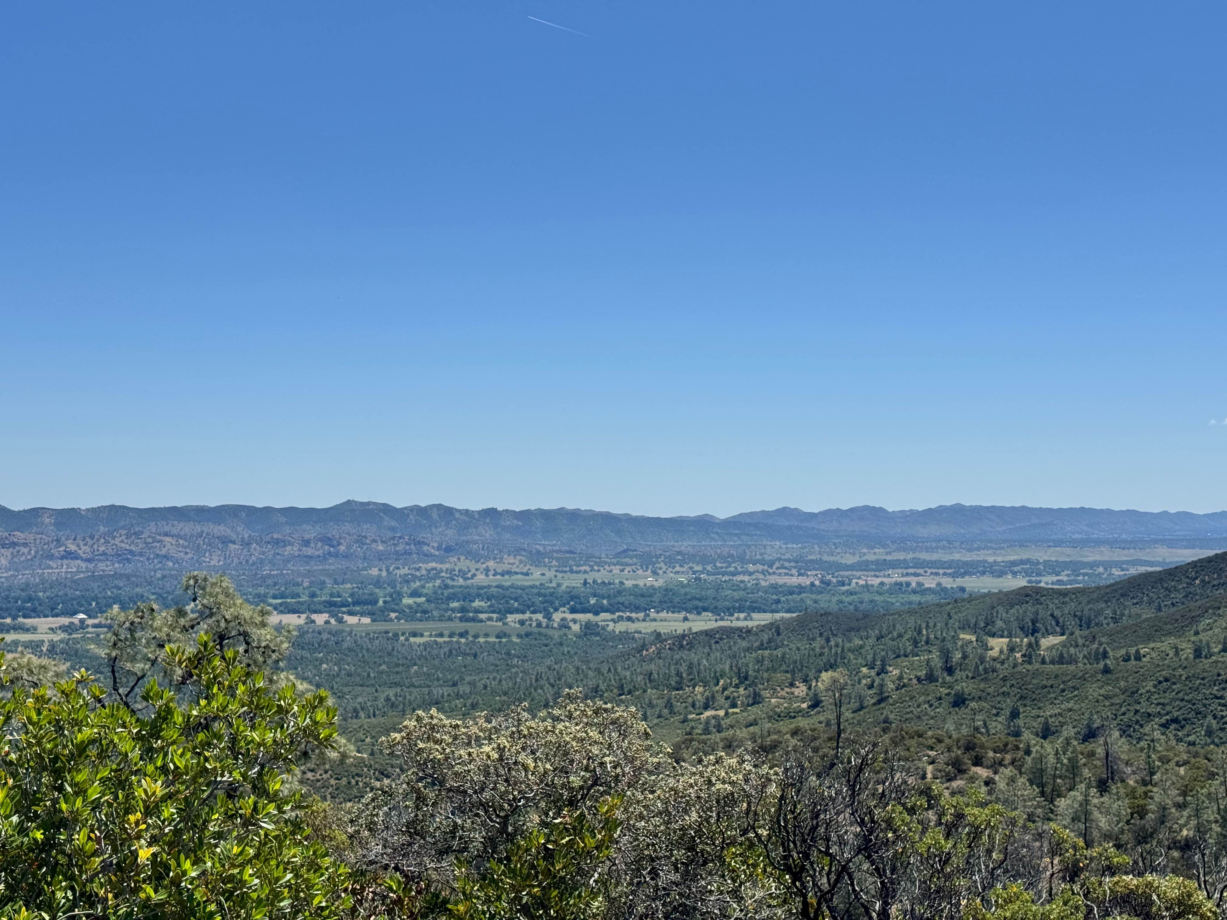
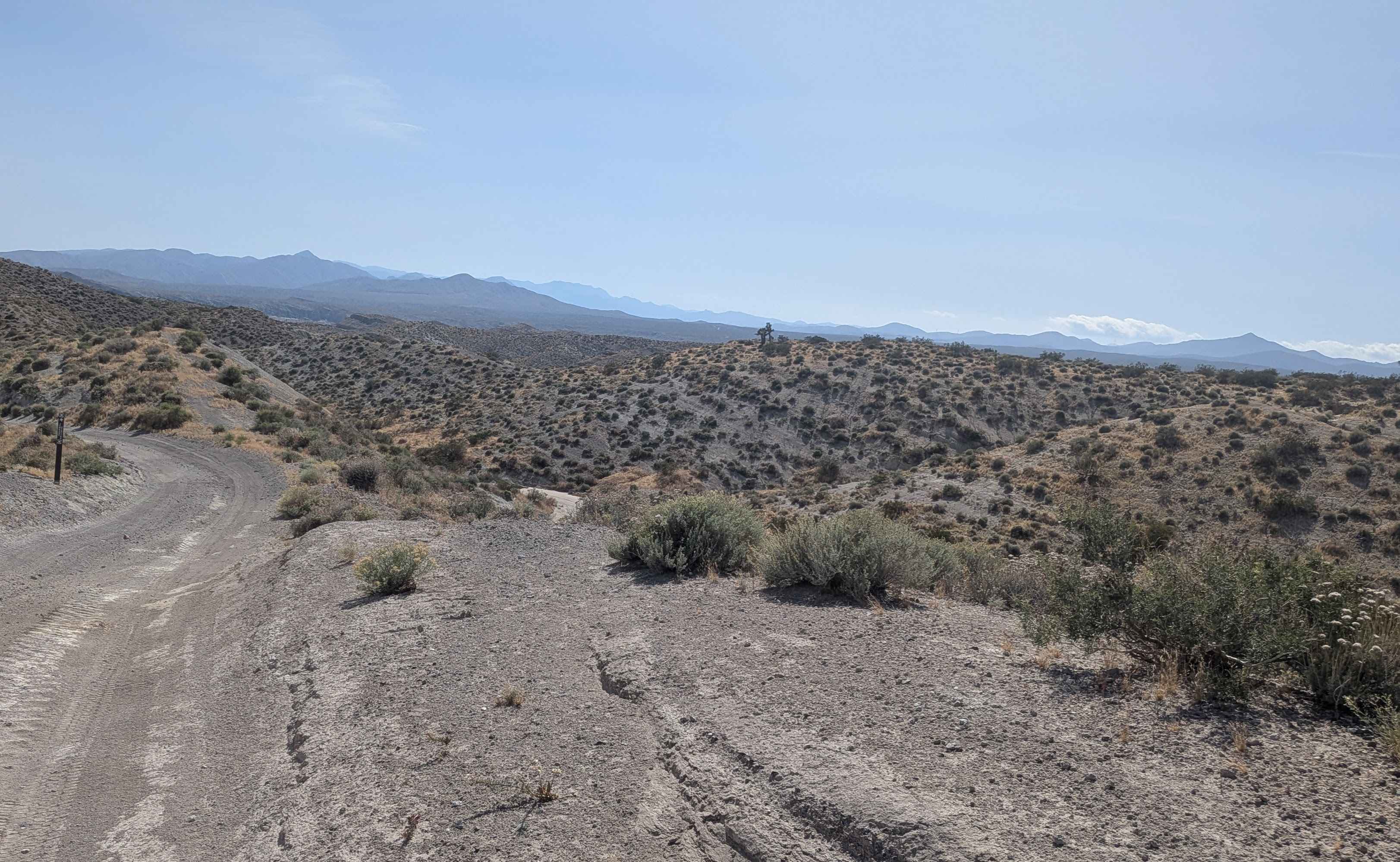
Open Ridge Black Diamond East - FS 18N02
Total Miles
6.8
Tech Rating
Easy
Best Time
Spring, Summer, Fall
Learn more about Open Ridge Black Diamond West - FS 18N02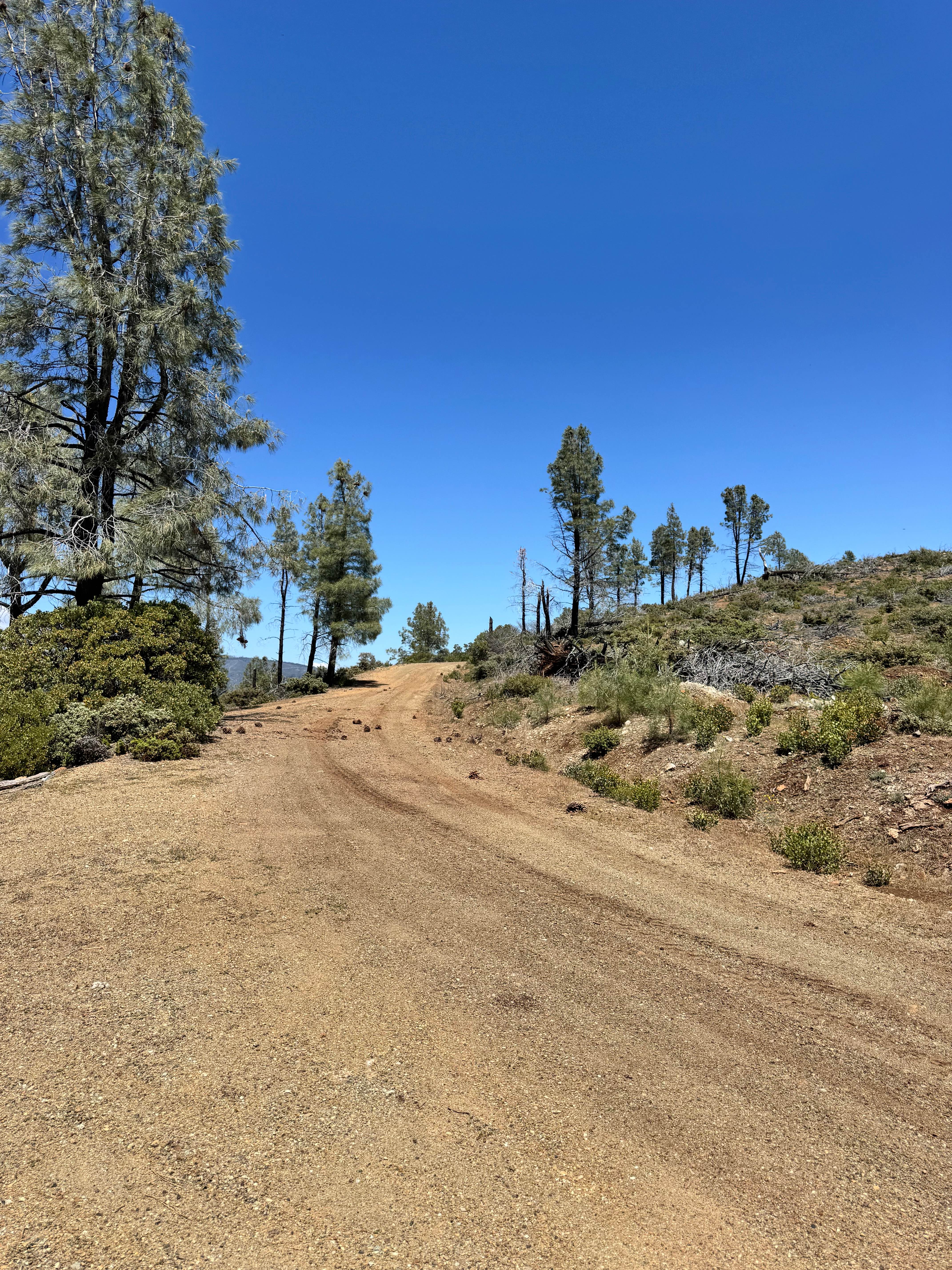
Open Ridge Black Diamond West - FS 18N02
Total Miles
11.9
Tech Rating
Easy
Best Time
Spring, Summer, Fall
Learn more about Oriflamme Canyon Backdoor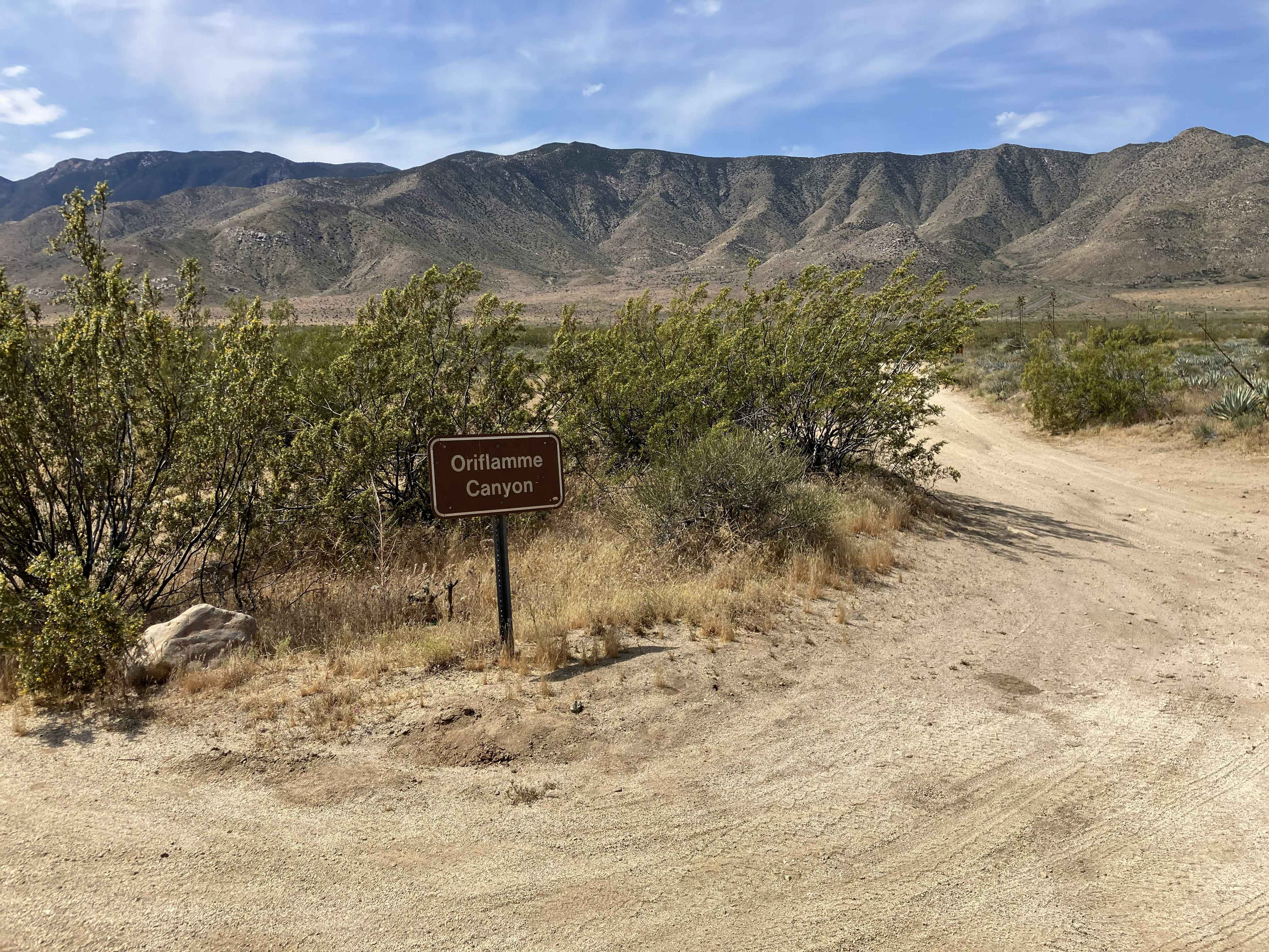
Oriflamme Canyon Backdoor
Total Miles
2.0
Tech Rating
Easy
Best Time
Winter, Spring, Fall
Learn more about Oriflamme Canyon Loop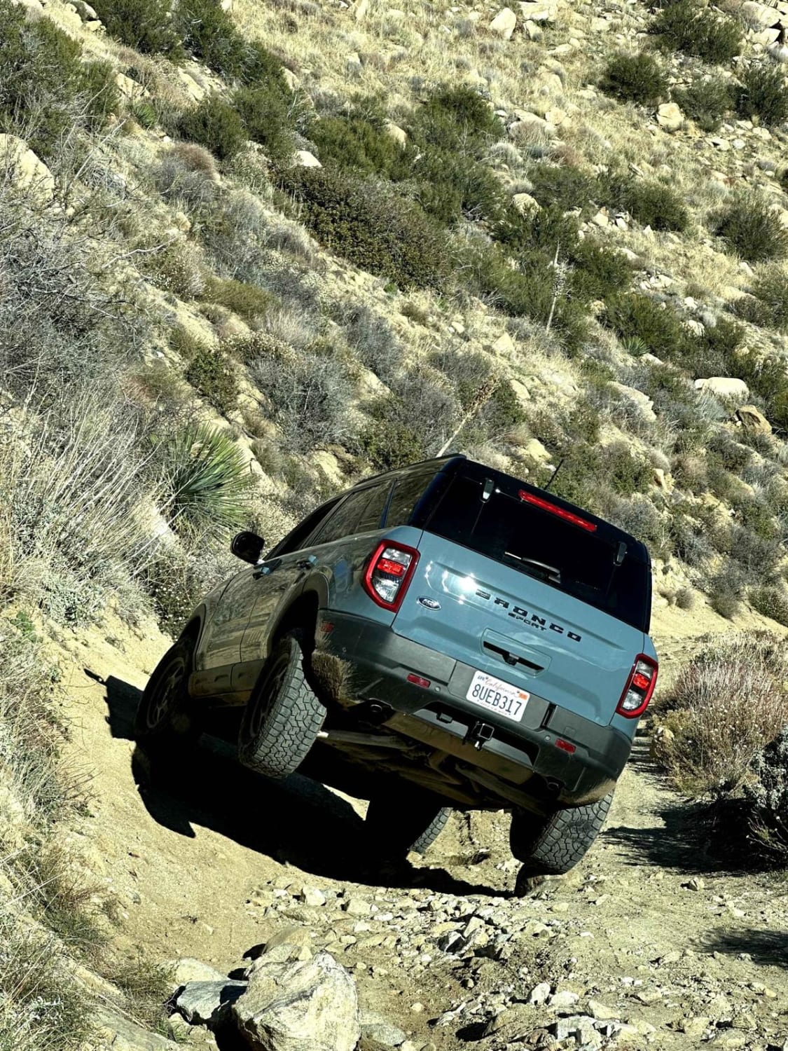
Oriflamme Canyon Loop
Total Miles
14.7
Tech Rating
Easy
Best Time
Spring, Summer, Fall, Winter
Learn more about Orosco Ridge Truck Trail 12S02
Orosco Ridge Truck Trail 12S02
Total Miles
5.6
Tech Rating
Easy
Best Time
Spring, Summer
Learn more about Otay Mountain Truck Trail
Otay Mountain Truck Trail
Total Miles
14.0
Tech Rating
Easy
Best Time
Winter, Fall, Spring, Summer
Learn more about Otay Mountain Truck Trail (Lower Trail)
Otay Mountain Truck Trail (Lower Trail)
Total Miles
1.4
Tech Rating
Easy
Best Time
Spring, Summer, Fall, Winter
Learn more about Otay Mountain Truck Trail (Upper Trail)
Otay Mountain Truck Trail (Upper Trail)
Total Miles
1.9
Tech Rating
Easy
Best Time
Spring, Summer, Fall, Winter
Learn more about Otay Mountain Truck Trail West
Otay Mountain Truck Trail West
Total Miles
7.5
Tech Rating
Easy
Best Time
Spring, Summer, Fall, Winter
Learn more about Otay Mtns Truck Trail
Otay Mtns Truck Trail
Total Miles
14.1
Tech Rating
Easy
Best Time
Winter, Fall, Spring, Summer
Learn more about Outer Limits
Outer Limits
Total Miles
1.9
Tech Rating
Extreme
Best Time
Spring, Summer, Fall, Winter
Learn more about Outlook - FS 9s010w
Outlook - FS 9s010w
Total Miles
1.9
Tech Rating
Easy
Best Time
Summer, Fall
Learn more about Owen's River Road
Owen's River Road
Total Miles
12.3
Tech Rating
Easy
Best Time
Summer, Fall, Spring
Learn more about Owens Gorge Loop - FS 4S05
Owens Gorge Loop - FS 4S05
Total Miles
1.7
Tech Rating
Easy
Best Time
Fall, Summer, Spring
Learn more about Owens Gorge Road
Owens Gorge Road
Total Miles
5.3
Tech Rating
Easy
Best Time
Fall, Summer, Spring
Learn more about Owls Hole Springs
Owls Hole Springs
Total Miles
22.5
Tech Rating
Easy
Best Time
Summer, Spring, Fall
Learn more about Oyster Shell Wash
Oyster Shell Wash
Total Miles
0.9
Tech Rating
Easy
Best Time
Spring, Fall, Winter
Learn more about P-Town Loop Out
P-Town Loop Out
Total Miles
3.0
Tech Rating
Moderate
Best Time
Spring, Summer, Fall, Winter
Learn more about Pachalka Road
Pachalka Road
Total Miles
9.8
Tech Rating
Easy
Best Time
Spring, Fall, Winter
ATV trails in California


UTV/side-by-side trails in California


Learn more about 3N267 Fenner Saddle (4N12)
3N267 Fenner Saddle (4N12)
Total Miles
3.8
Tech Rating
Difficult
Best Time
Spring, Summer, Fall, Winter

The onX Offroad Difference
onX Offroad combines trail photos, descriptions, difficulty ratings, width restrictions, seasonality, and more in a user-friendly interface. Available on all devices, with offline access and full compatibility with CarPlay and Android Auto. Discover what you’re missing today!