Off-Road Trails in California
Discover off-road trails in California
Learn more about Pack Rat Wash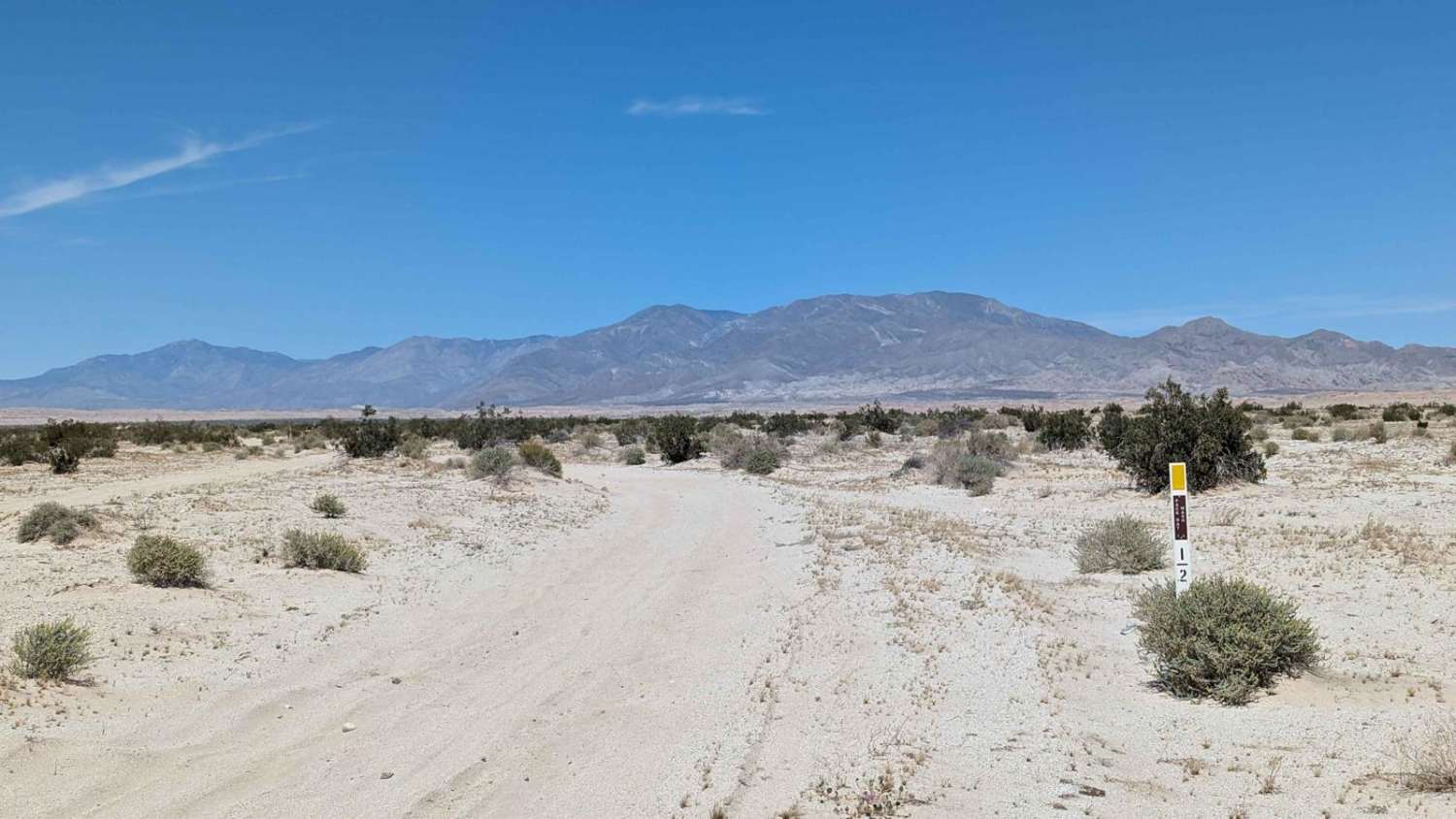
Pack Rat Wash
Total Miles
4.6
Tech Rating
Easy
Best Time
Spring, Summer, Fall, Winter
Learn more about Pack Saddle Drop
Pack Saddle Drop
Total Miles
0.4
Tech Rating
Easy
Best Time
Spring, Fall, Summer
Learn more about Pack Saddle Loop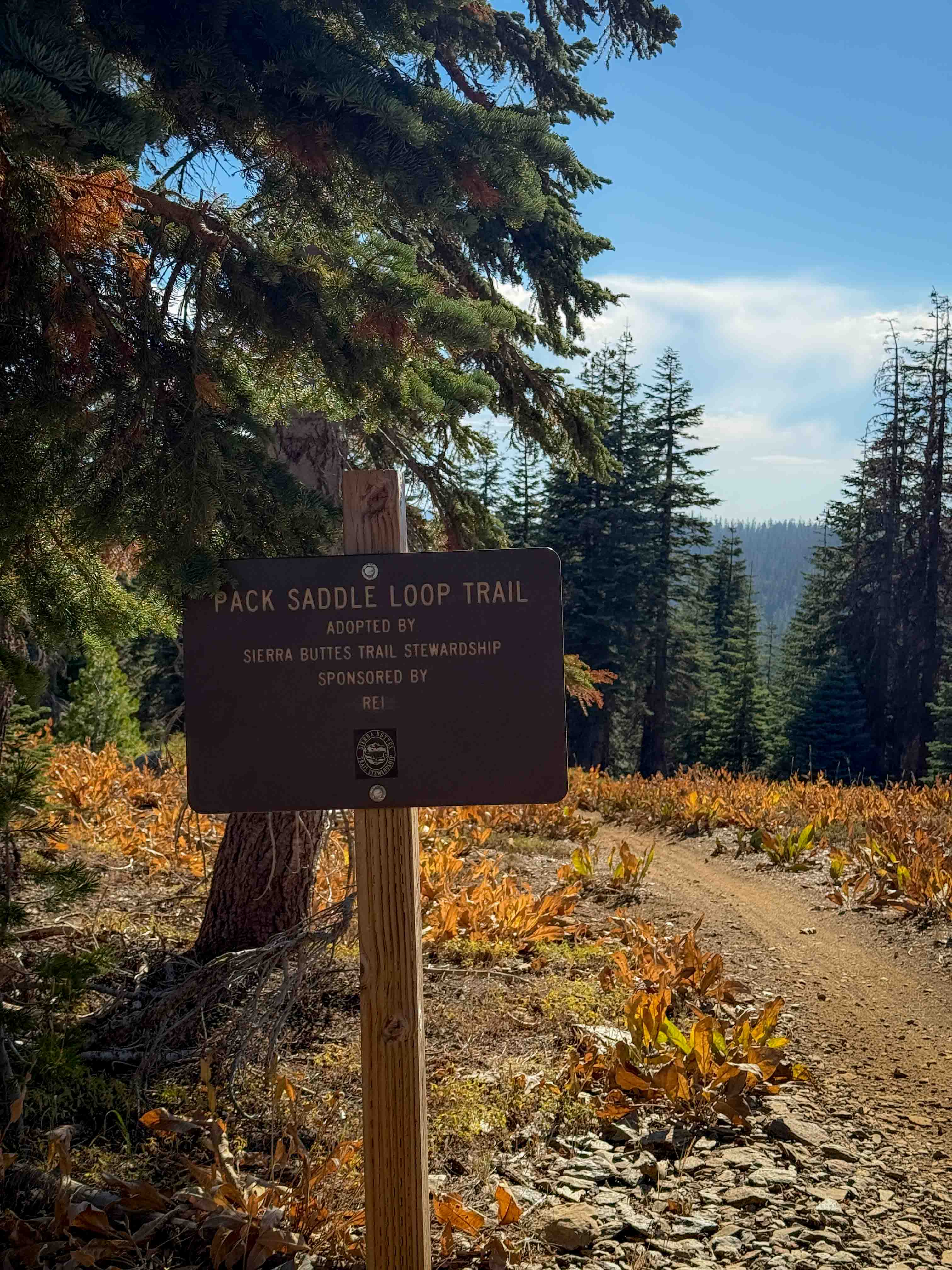
Pack Saddle Loop
Total Miles
0.6
Tech Rating
Easy
Best Time
Spring, Fall, Summer
Learn more about Packard Canyon Road
Packard Canyon Road
Total Miles
15.5
Tech Rating
Easy
Best Time
Summer, Fall
Learn more about Packers Ridge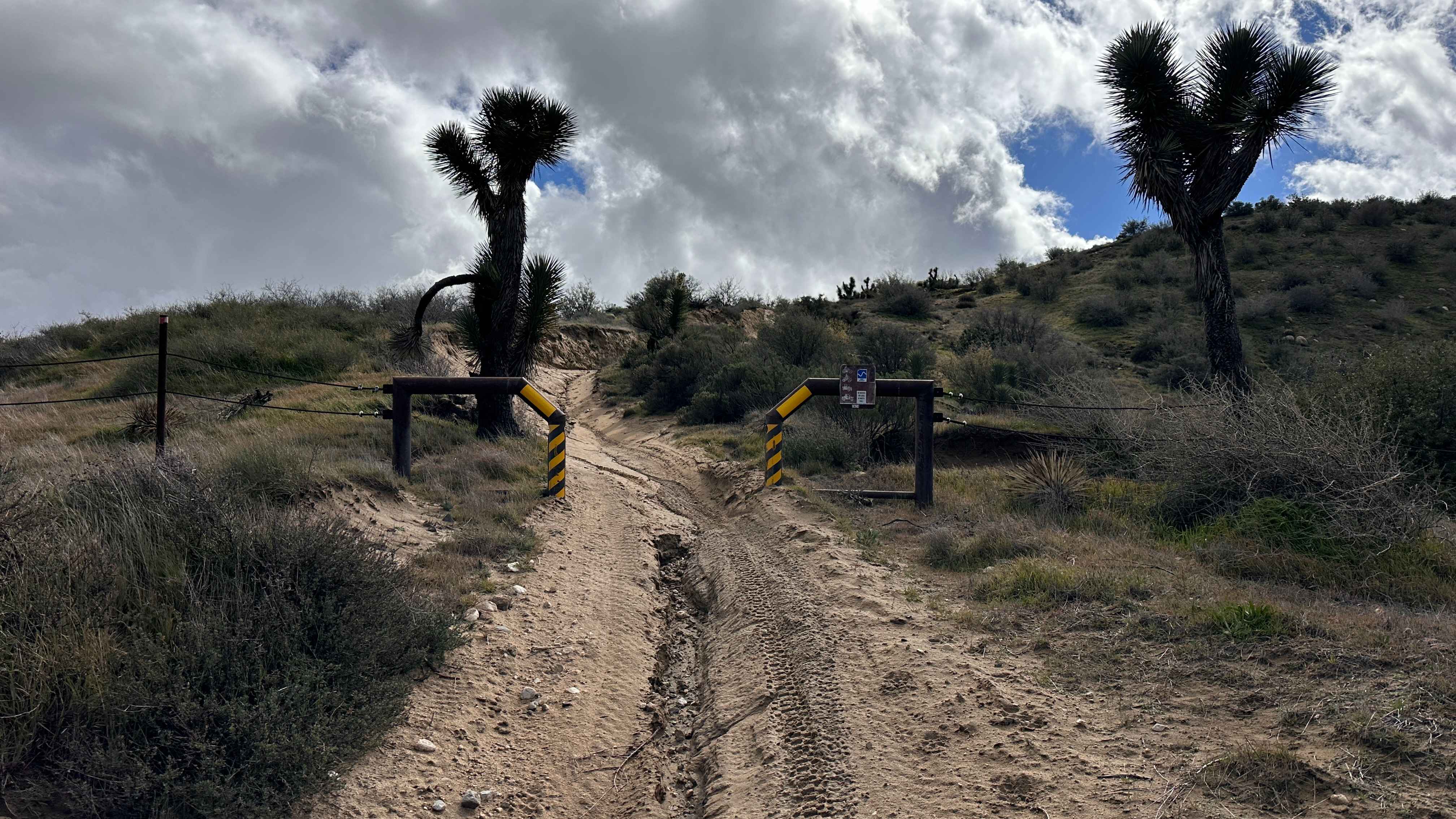
Packers Ridge
Total Miles
1.2
Tech Rating
Extreme
Best Time
Spring, Summer, Fall, Winter
Learn more about Packsaddle - FS 18N25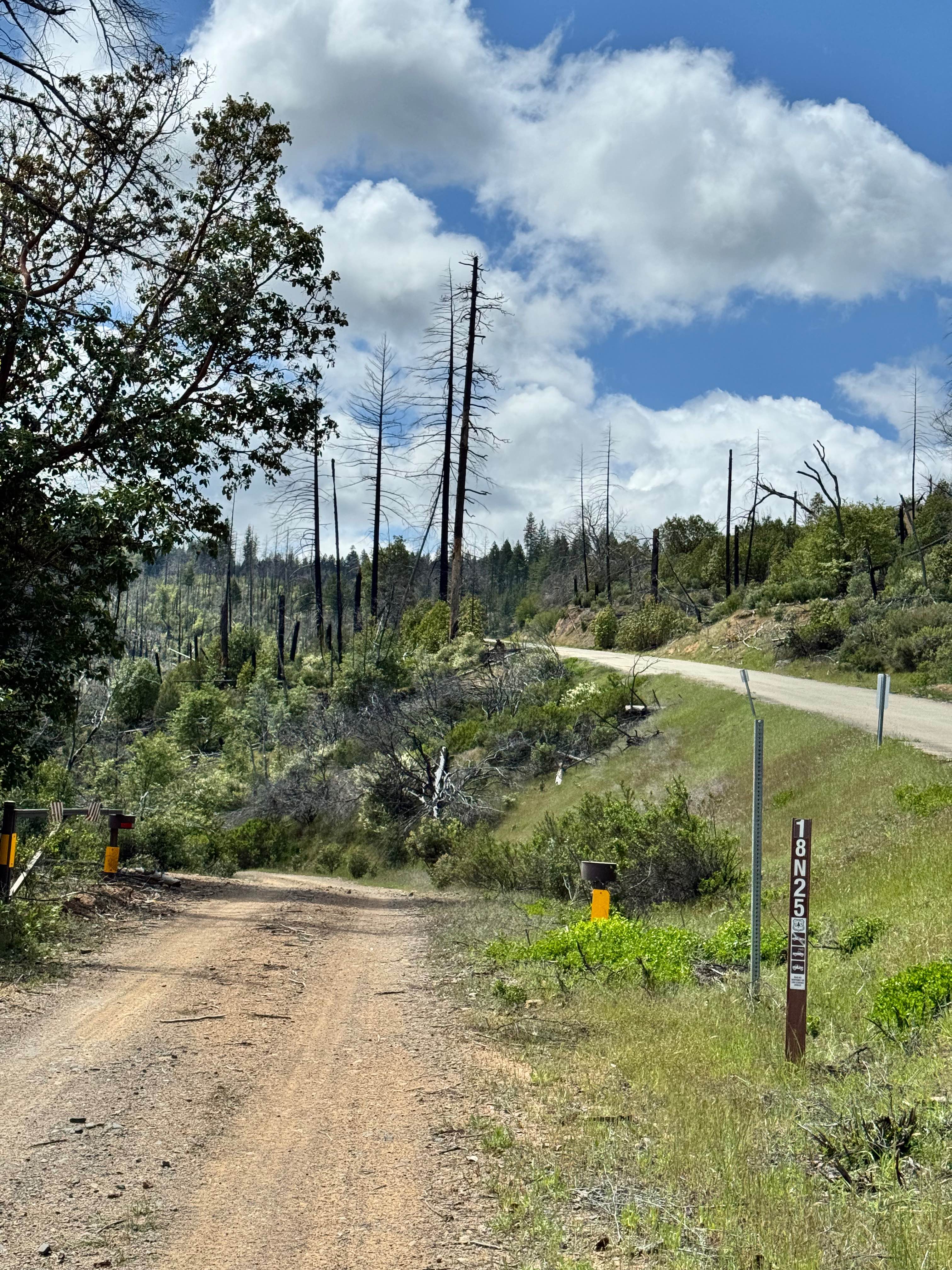
Packsaddle - FS 18N25
Total Miles
6.3
Tech Rating
Easy
Best Time
Spring, Summer, Fall
Learn more about Packsaddle - FS 23S26
Packsaddle - FS 23S26
Total Miles
1.5
Tech Rating
Easy
Best Time
Fall, Summer, Spring
Learn more about Padre Madre Mine
Padre Madre Mine
Total Miles
6.0
Tech Rating
Moderate
Best Time
Spring, Fall, Winter
Learn more about Pah - FS 23E276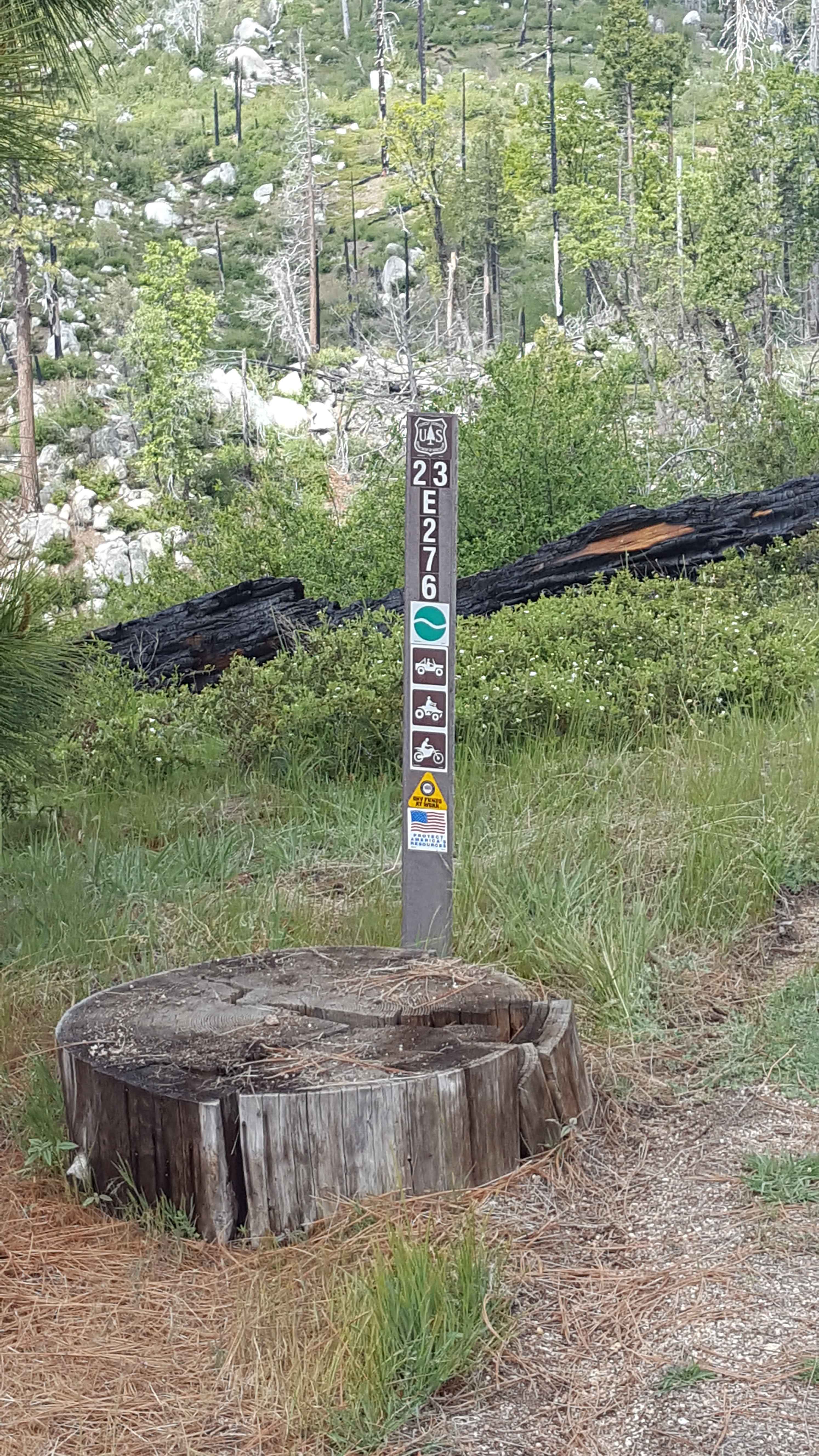
Pah - FS 23E276
Total Miles
0.7
Tech Rating
Easy
Best Time
Spring, Summer, Fall
Learn more about Painted Canyon Road
Painted Canyon Road
Total Miles
4.8
Tech Rating
Easy
Best Time
Spring, Fall, Summer
Learn more about Painted Canyon Run
Painted Canyon Run
Total Miles
0.8
Tech Rating
Moderate
Best Time
Spring, Summer, Fall, Winter
Learn more about Painted Gorge Road - BLM 236
Painted Gorge Road - BLM 236
Total Miles
5.0
Tech Rating
Easy
Best Time
Winter, Fall, Spring
Learn more about Painted Gorge Trail
Painted Gorge Trail
Total Miles
1.4
Tech Rating
Moderate
Best Time
Summer, Fall
Learn more about Painted Hills - BLM 214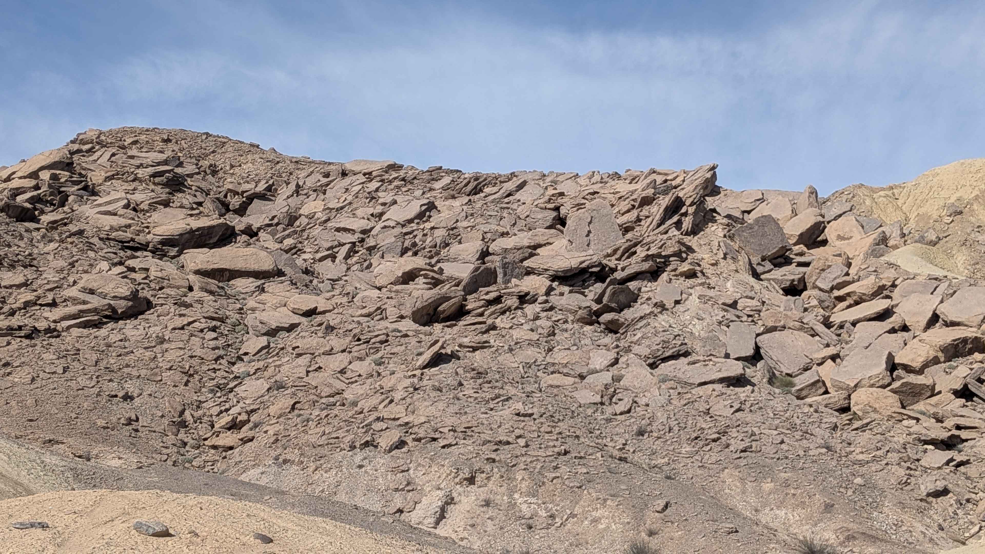
Painted Hills - BLM 214
Total Miles
1.4
Tech Rating
Easy
Best Time
Fall, Winter, Spring
Learn more about Painted Hills Cutoff
Painted Hills Cutoff
Total Miles
1.5
Tech Rating
Easy
Best Time
Winter, Fall, Spring
Learn more about Palm Wash
Palm Wash
Total Miles
6.5
Tech Rating
Easy
Best Time
Spring, Summer, Fall, Winter
Learn more about Palo Verde Wash
Palo Verde Wash
Total Miles
10.7
Tech Rating
Easy
Best Time
Spring, Summer, Fall, Winter
Learn more about Palomar Divide (9S07)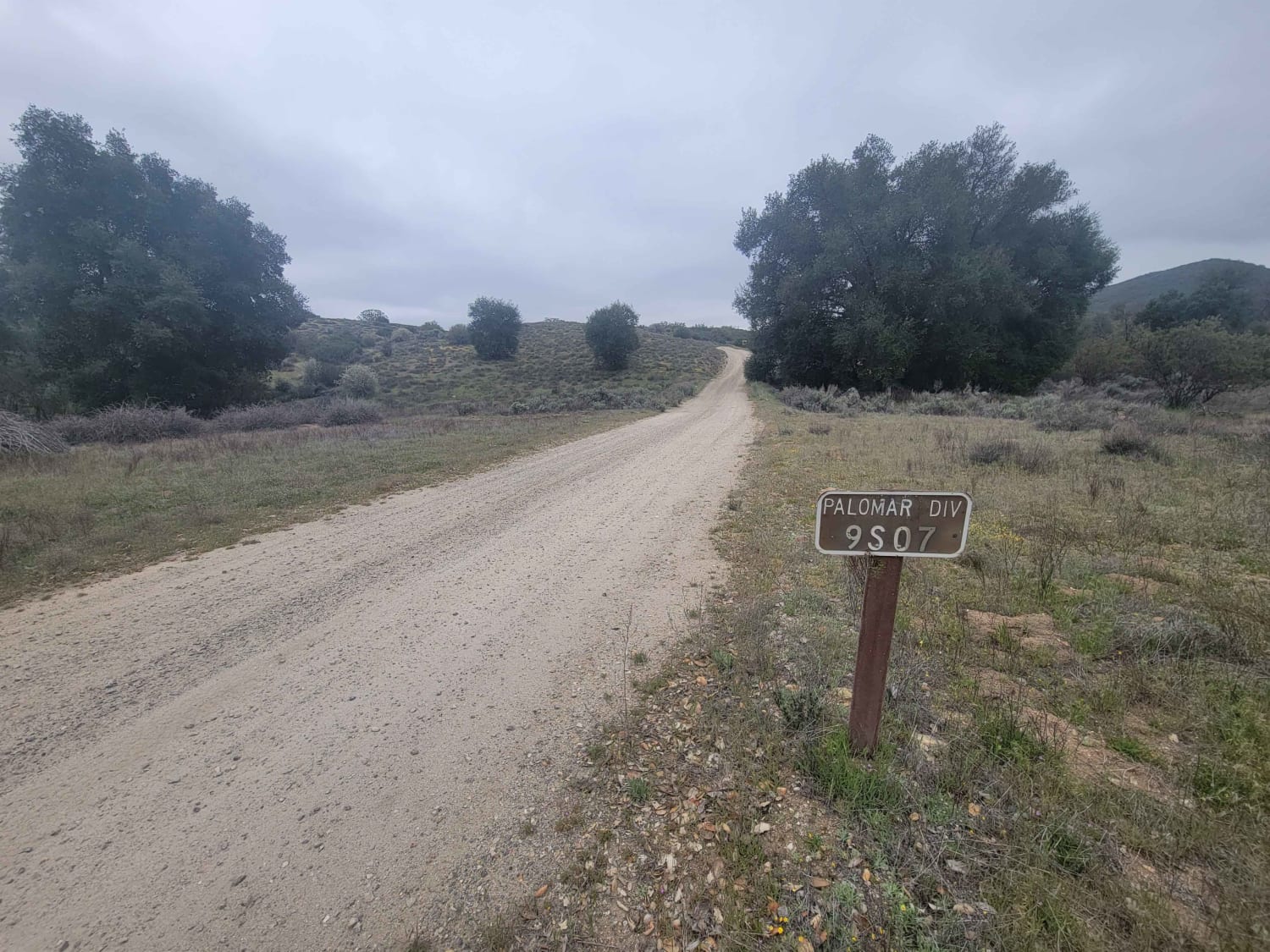
Palomar Divide (9S07)
Total Miles
11.5
Tech Rating
Easy
Best Time
Spring, Summer, Fall, Winter
Learn more about Pandre Madre Mine
Pandre Madre Mine
Total Miles
6.0
Tech Rating
Moderate
Best Time
Spring, Fall, Winter
ATV trails in California


UTV/side-by-side trails in California


Learn more about 3N267 Fenner Saddle (4N12)
3N267 Fenner Saddle (4N12)
Total Miles
3.8
Tech Rating
Difficult
Best Time
Spring, Summer, Fall, Winter

The onX Offroad Difference
onX Offroad combines trail photos, descriptions, difficulty ratings, width restrictions, seasonality, and more in a user-friendly interface. Available on all devices, with offline access and full compatibility with CarPlay and Android Auto. Discover what you’re missing today!