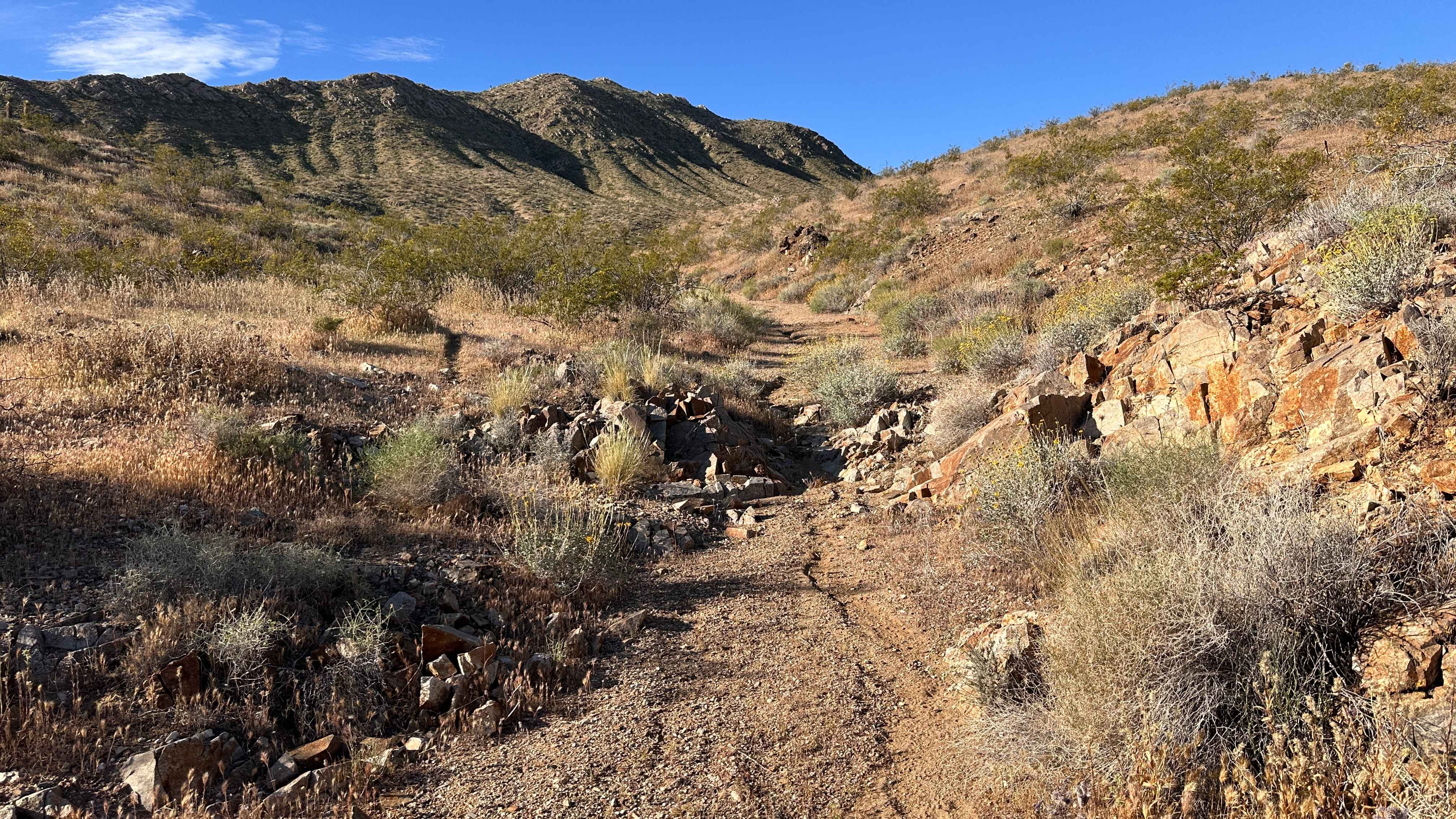
Palen Pass
Total Miles
22.7
Technical Rating
Best Time
Spring, Fall, Winter
Trail Type
Full-Width Road
Accessible By
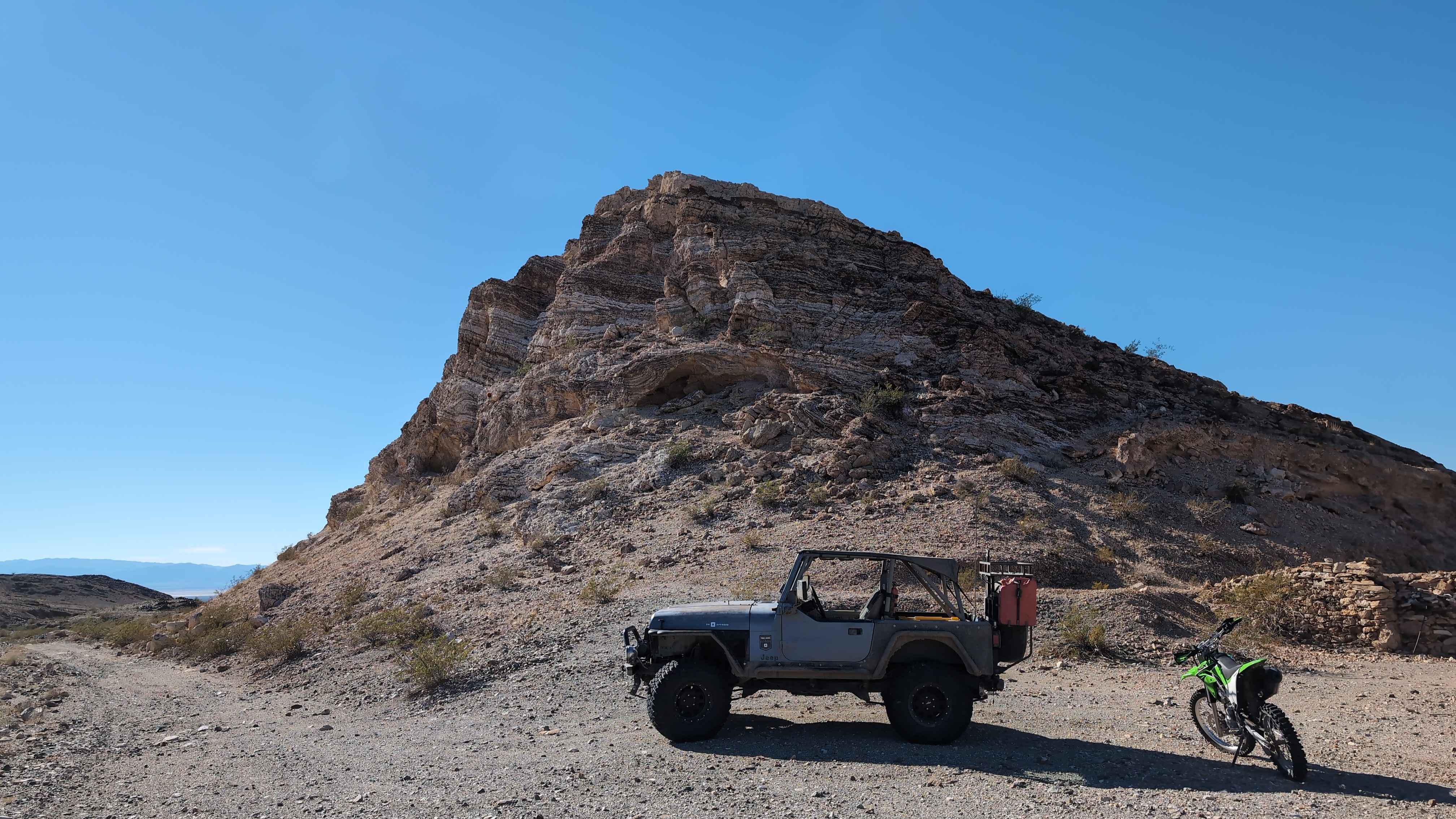
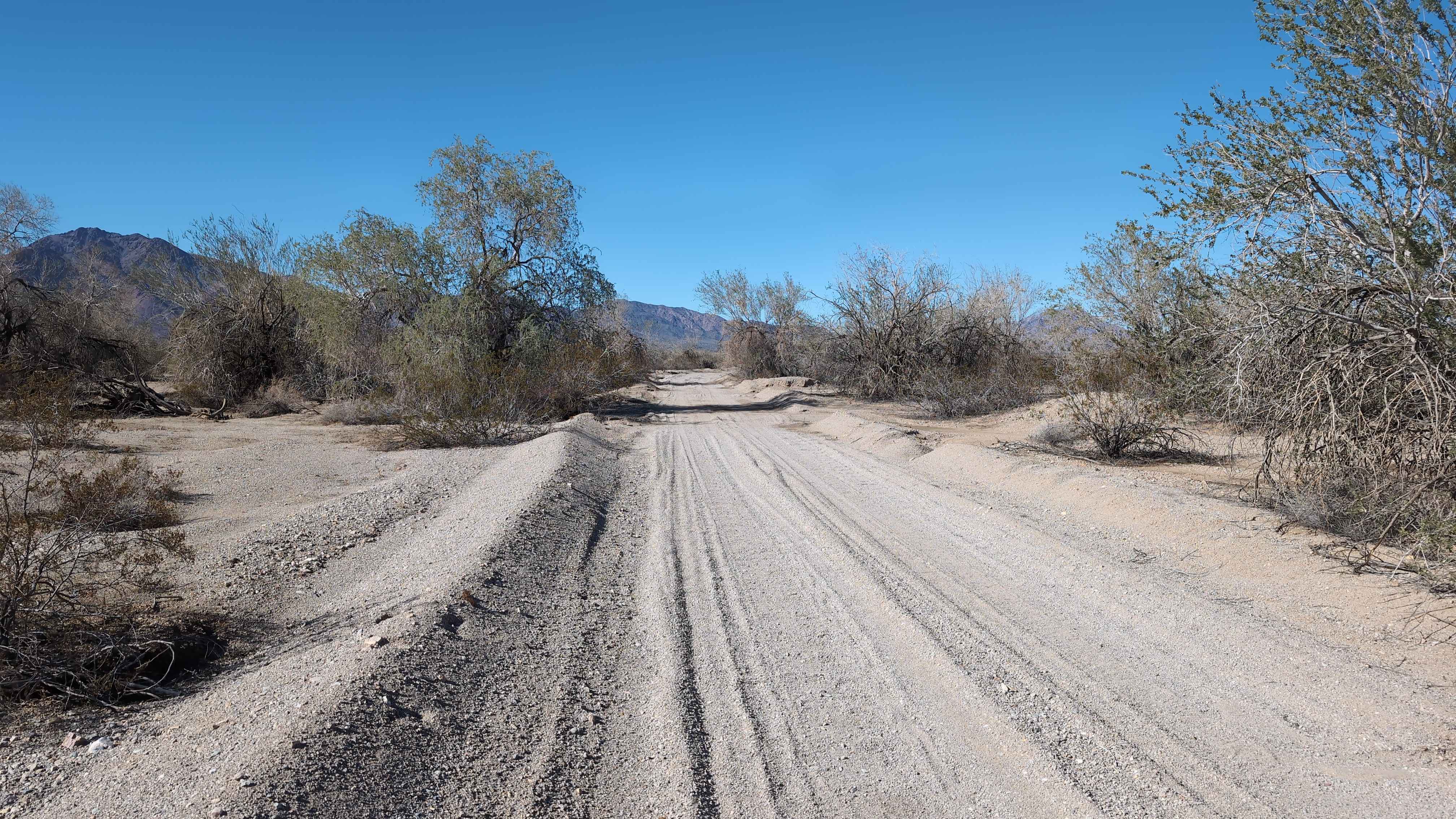
Trail Overview
Palen Pass is an old WWII Army training ground used by General Patton. The trail is hardpack dirt with some soft sand in washes. The trail is easy enough that large fuel trucks can get to some of the off-grid radio towers along the trail. The trail starts off Arlington Mine Road and goes all the way to Highway 177. This trail connects Blythe and Desert Center. This trail is simple, and besides, its length is easy to complete.
Photos of Palen Pass
Difficulty
Some of the washes can get deep, but this trail gets maintained fairly well.
History
The Palen Pass Maneuver Area was the largest training zone within the Desert Training Center/California-Arizona Maneuver Area. Many exercises occurred, including the mock battles of Palen Pass and Southern California, which involved two Divisions and supporting units divided into two teams. One team's goal was to move forward through the Palen Pass, while the other team was to prevent passage. This training served to test the various skills and tactics that had been achieved by troops during the 13 weeks of training they received. Upon completion, soldiers were transferred to WWII battlefronts.
Status Reports
Palen Pass can be accessed by the following ride types:
- High-Clearance 4x4
- SUV
- SxS (60")
- ATV (50")
- Dirt Bike
Palen Pass Map
Popular Trails
Pickett Peak Road 31053
Dry Wash Trail
The onX Offroad Difference
onX Offroad combines trail photos, descriptions, difficulty ratings, width restrictions, seasonality, and more in a user-friendly interface. Available on all devices, with offline access and full compatibility with CarPlay and Android Auto. Discover what you’re missing today!