Orosco Ridge Truck Trail 12S02
Total Miles
5.6
Technical Rating
Best Time
Spring, Summer
Trail Type
High-Clearance 4x4 Trail
Accessible By
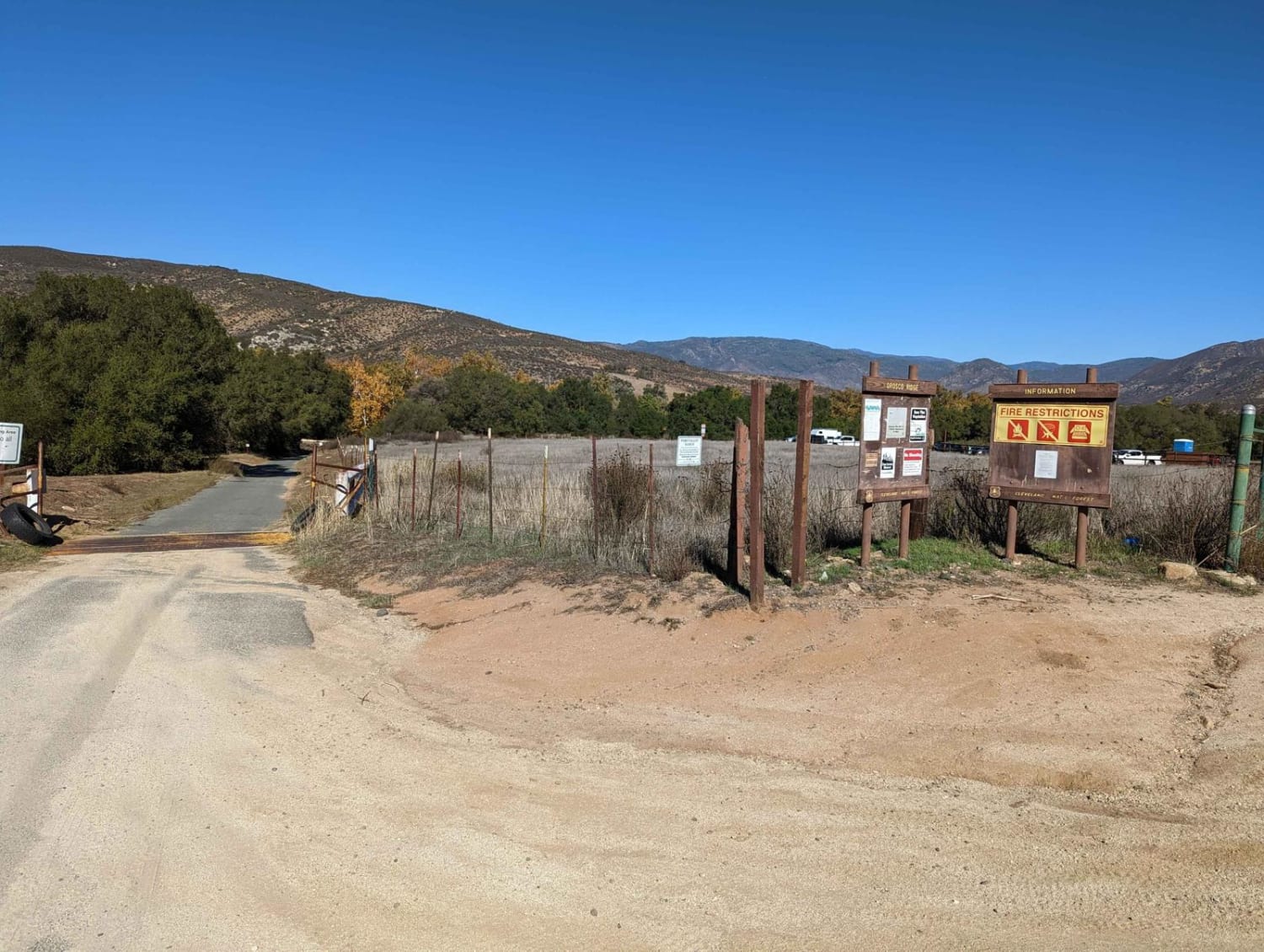
Trail Overview
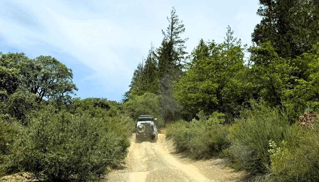
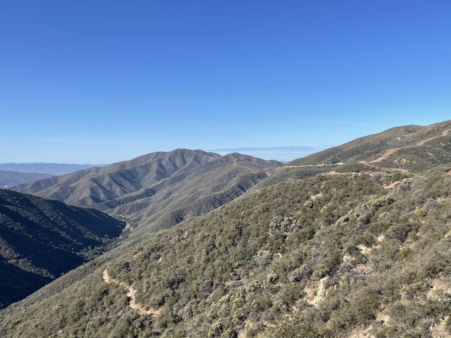
This trail winds its way through the Cleveland Forest from Pamo Road to the Guejito Truck Trail. The trail is not very well maintained. It is very rutted. The trail takes you up and over some good hills in Pamo Valley. Parts of the trail are very scenic and beautiful.
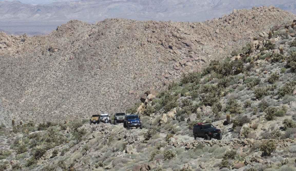
Photos of Orosco Ridge Truck Trail 12S02
Difficulty
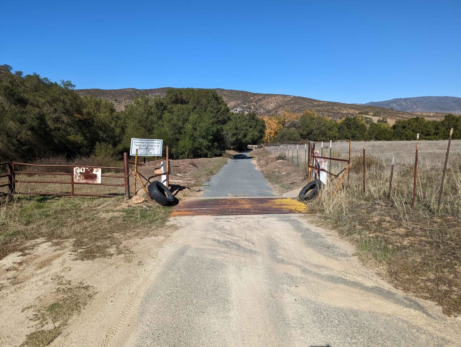
Starting from Pamo Rd, the first mile is pretty rutted out with several dry ruts across the trail. This trail could become very difficult during or after rain. Traction is not a problem when dry. All of the up and down hills are mild. Most sections of the trail are a narrow 2-track.About 3 miles from the trailhead, you will be making a sharp turn to the right, almost a U-turn. The trail will continue to the left. But, if you want to stay on Orosco Ridge, take the trail to the hard right. Picture of the turn included below.
Status Reports
Orosco Ridge Truck Trail 12S02 can be accessed by the following ride types:
- High-Clearance 4x4
- SxS (60")
- ATV (50")
- Dirt Bike
Orosco Ridge Truck Trail 12S02 Map
Popular Trails
Erickson Ridge Loop

Sawmill Crossover 1S16
Tule Divide
EC 33 Table Mountain
The onX Offroad Difference
onX Offroad combines trail photos, descriptions, difficulty ratings, width restrictions, seasonality, and more in a user-friendly interface. Available on all devices, with offline access and full compatibility with CarPlay and Android Auto. Discover what you’re missing today!