Otay Mtns Truck Trail
Total Miles
14.1
Technical Rating
Best Time
Winter, Fall, Spring, Summer
Trail Type
Full-Width Road
Accessible By
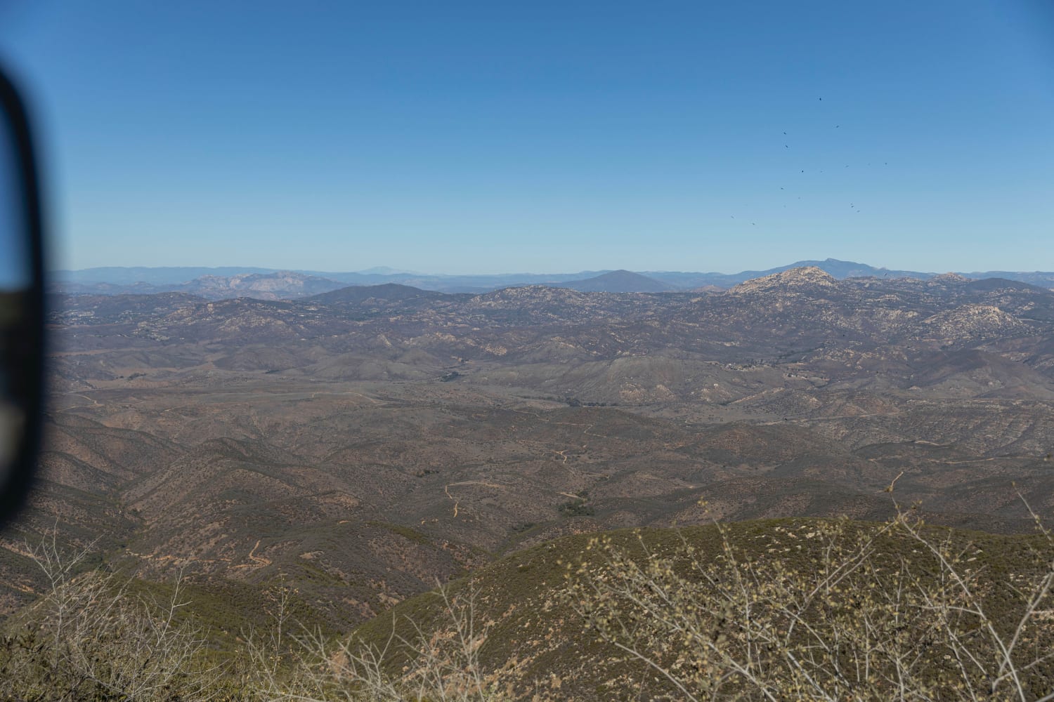
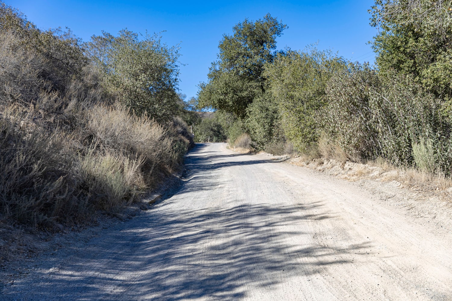
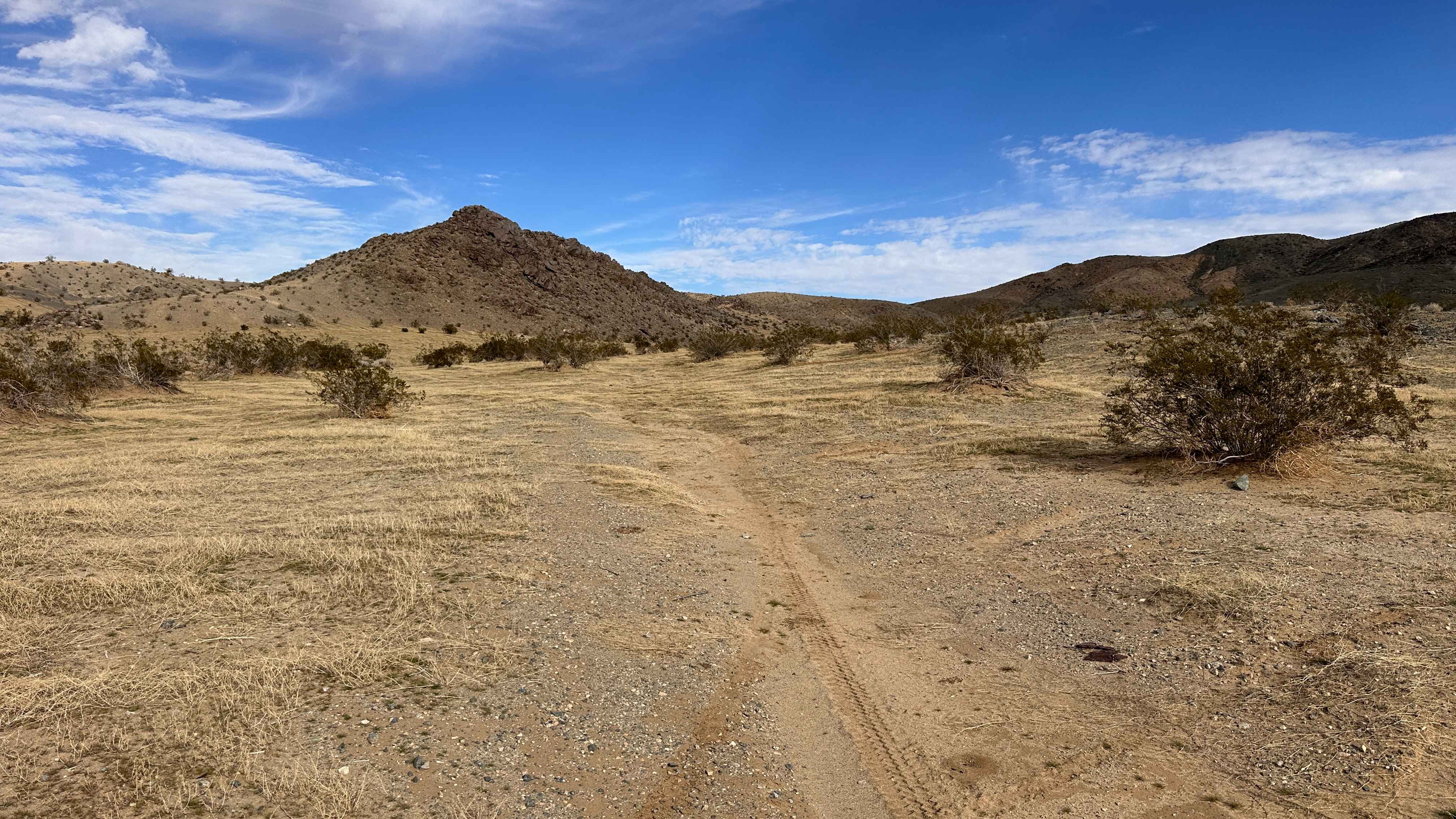
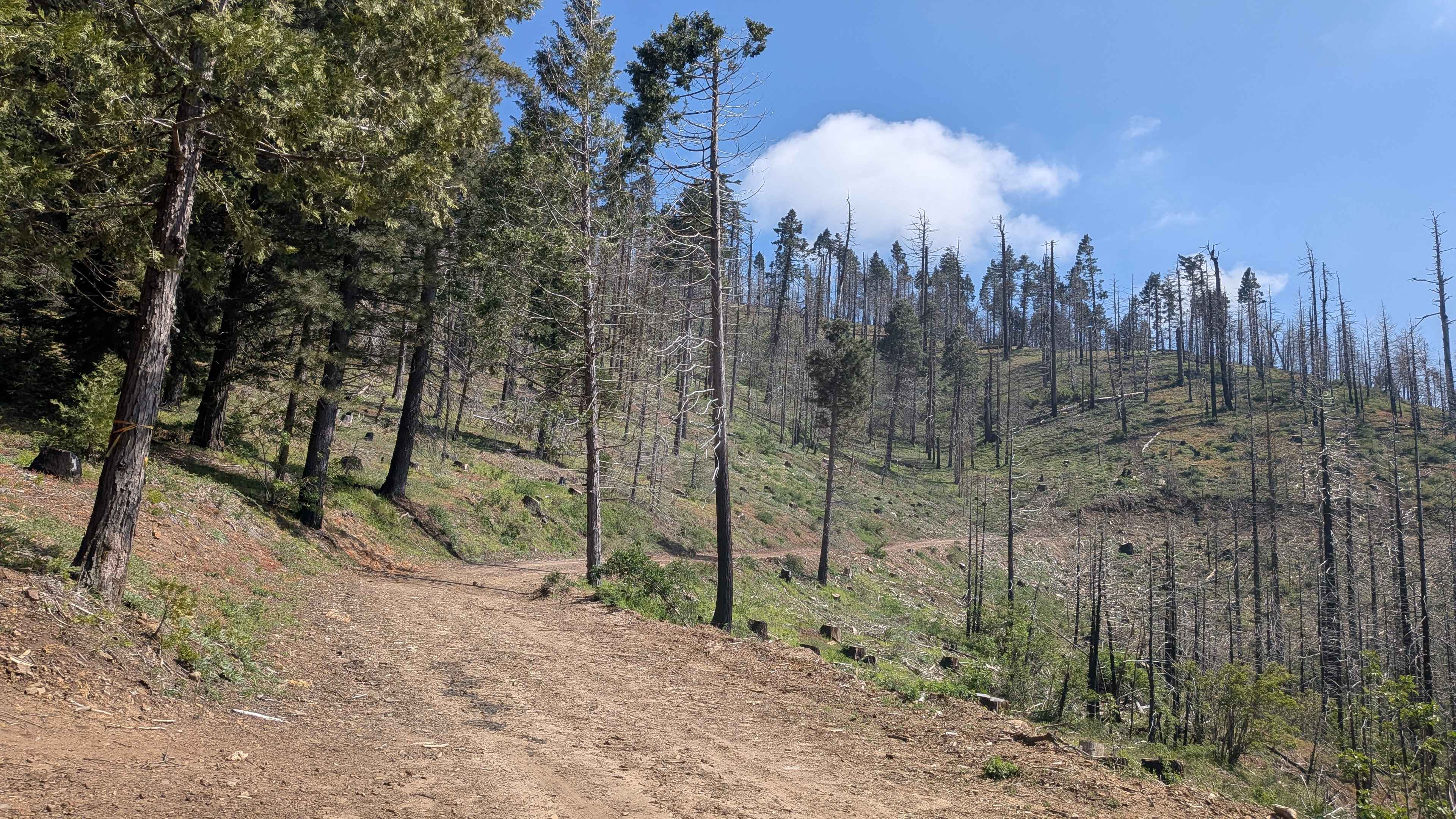
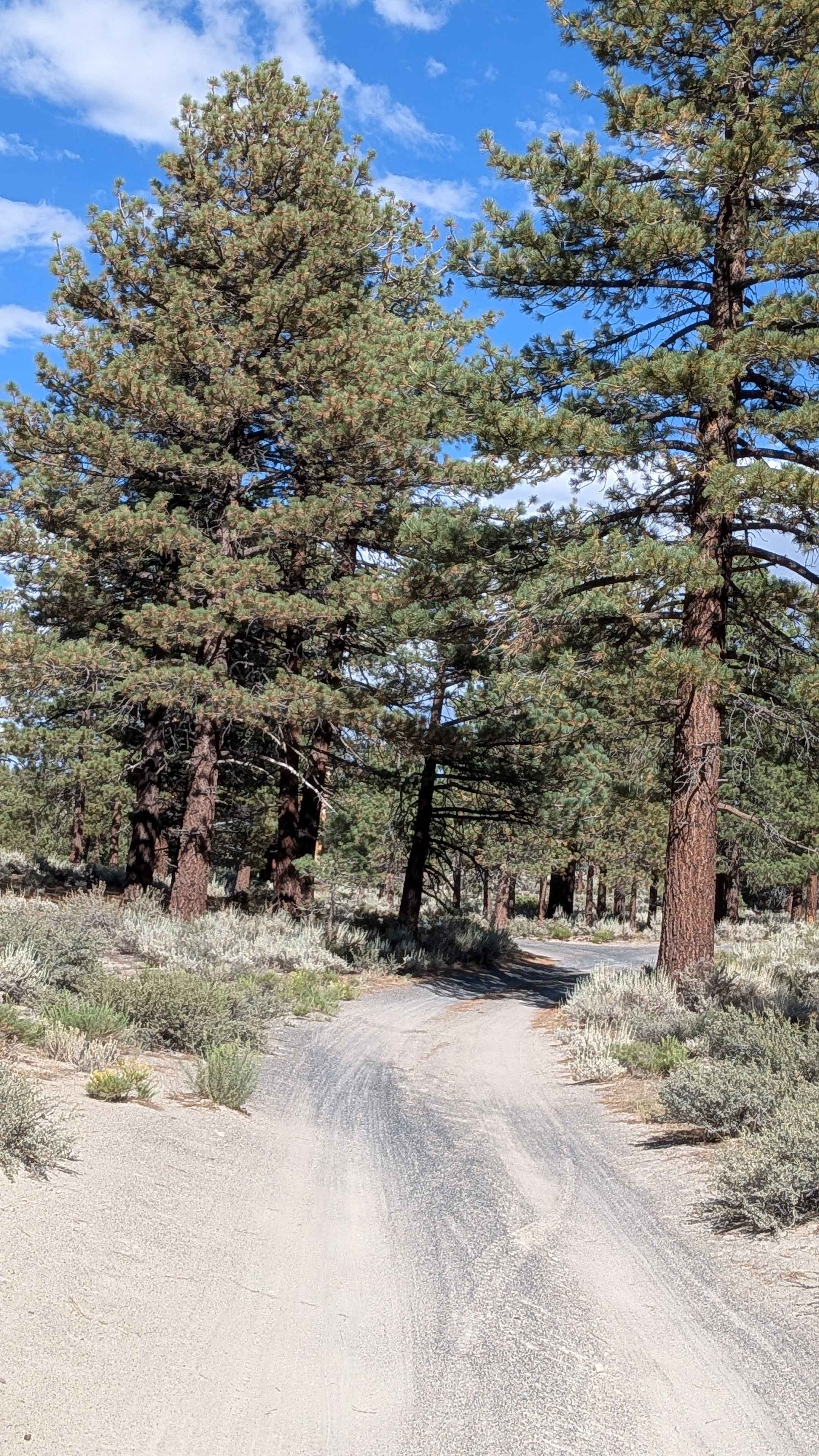
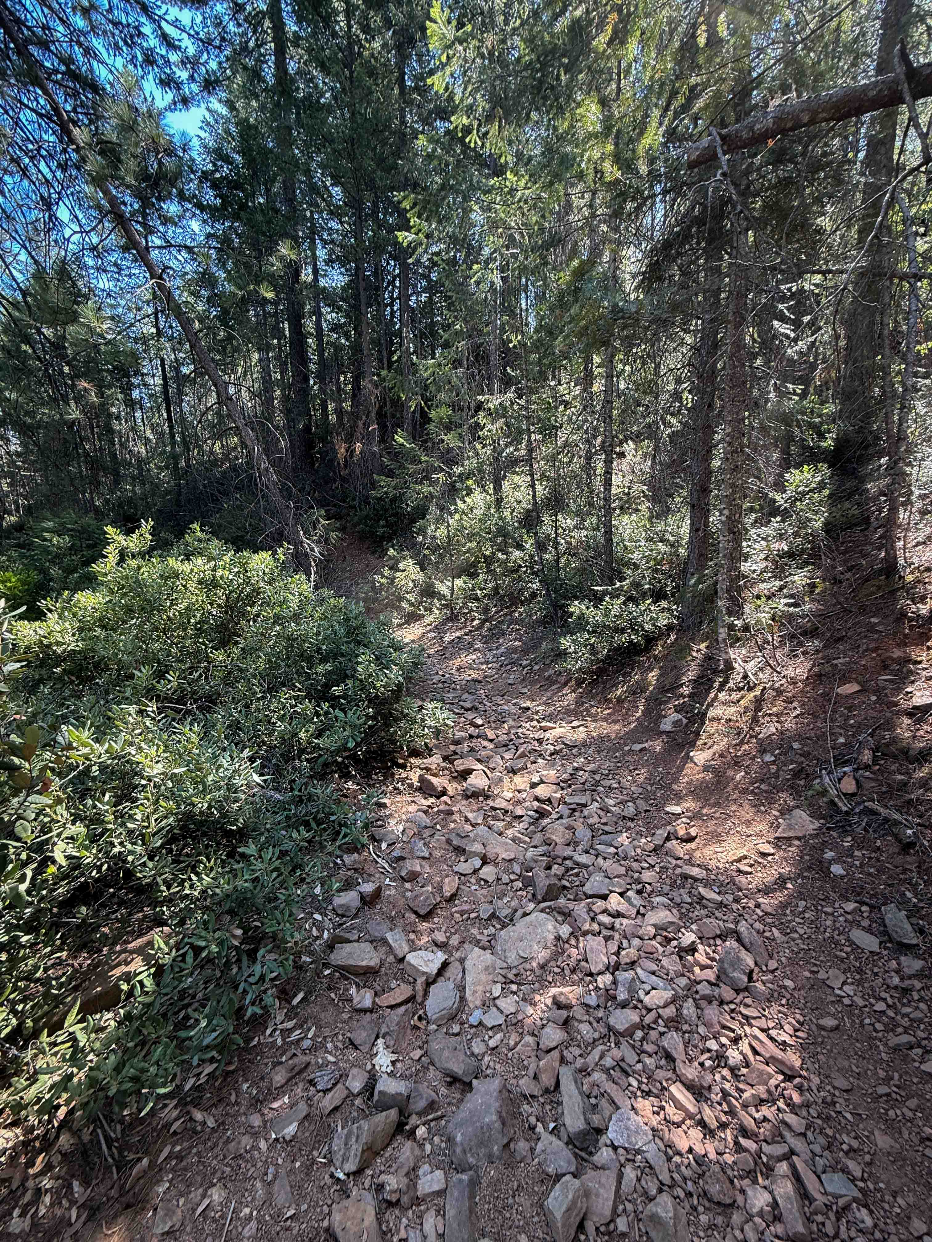
Trail Overview
This route goes up and over Otay Mountain with sweeping views over the San Ysidro Mountains, and a little bit of San Diego in the distance. The road is made up entirely of dirt and gravel and stays relatively even throughout. This is a great trail on hazy/foggy days as it is well above the marine layer, revealing the sunshine above. Border patrol agents frequently pass by, and the mountain gets busy on weekends. There are mirrors set above tight corners, making it easy to see whether anyone is coming and avoid collisions.
Photos of Otay Mtns Truck Trail
Difficulty
The road is even and reasonably wide and winds steadily through the mountains. It poses no major challenges.
History
Otay Mountain is the highest point of the San Ysidro Mountains.
Status Reports
Otay Mtns Truck Trail can be accessed by the following ride types:
- High-Clearance 4x4
- SUV
- SxS (60")
- ATV (50")
- Dirt Bike
Otay Mtns Truck Trail Map
Popular Trails
JNF Lower Copper Mountain Line
Wendy Gap - FS 25S17
Forest Service Road 3S130
Trail 1-3 (11E30)
The onX Offroad Difference
onX Offroad combines trail photos, descriptions, difficulty ratings, width restrictions, seasonality, and more in a user-friendly interface. Available on all devices, with offline access and full compatibility with CarPlay and Android Auto. Discover what you’re missing today!