8s099 - Snowball
Total Miles
1.2
Technical Rating
Best Time
Summer, Fall
Trail Type
Full-Width Road
Accessible By
Trail Overview
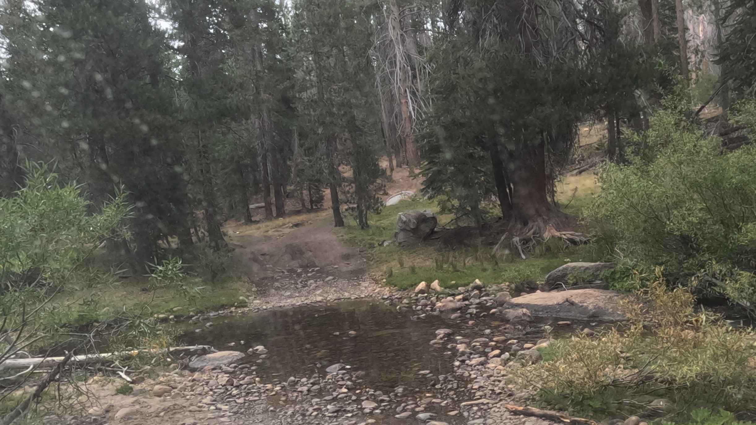
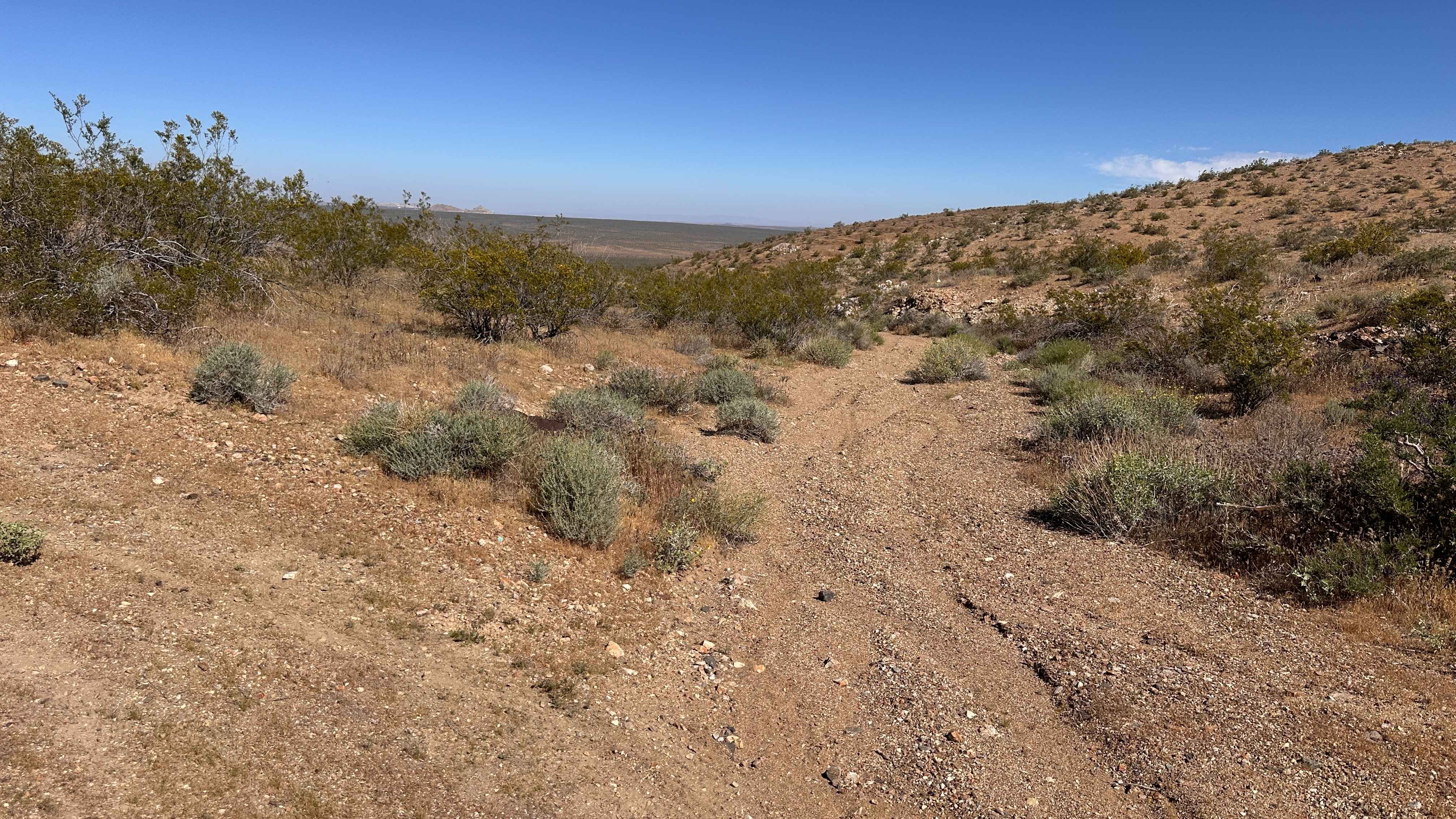
This is an easy, fast 2.3-mile forest service road that provides efficient transit from the high ridge network back down toward Highway 168. The road is a clear two-track with a primarily packed dirt and loose aggregate surface, allowing for fast descending speeds. The trail passes through a mixed-severity 2020 Creek Wildfire burn zone (snags visible in photos), creating vast views and occasional open patches. Caution: Despite the ease of travel, the surrounding dead timber constitutes an extreme falling snag hazard, requiring constant vigilance while driving and especially when stopping or camping. Numerous dispersed campsites are accessible along the route.
Photos of 8s099 - Snowball


Difficulty
Rated 2 (Controlled Descent): This road is suitable for all passenger vehicles when dry, as the surface is generally smooth. The R2 rating is given for the required high clearance to comfortably handle the minor unevenness and small embedded rocks during the descent, and the need for controlled speed management due to blind corners. No 4WD is necessary for transit.
Status Reports
8s099 - Snowball can be accessed by the following ride types:
- High-Clearance 4x4
- SUV
8s099 - Snowball Map
Popular Trails

Bodie High Desert Highway
Beasore - A Spur - FS 5s007a

Casa Diablo Mountain FS S134
Black Butte Trail
The onX Offroad Difference
onX Offroad combines trail photos, descriptions, difficulty ratings, width restrictions, seasonality, and more in a user-friendly interface. Available on all devices, with offline access and full compatibility with CarPlay and Android Auto. Discover what you’re missing today!