Patterson Lane - FS 26S34
Total Miles
0.8
Technical Rating
Best Time
Fall, Summer, Spring
Trail Type
Full-Width Road
Accessible By
Trail Overview
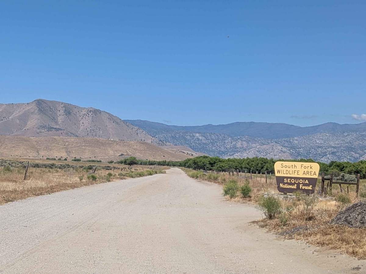
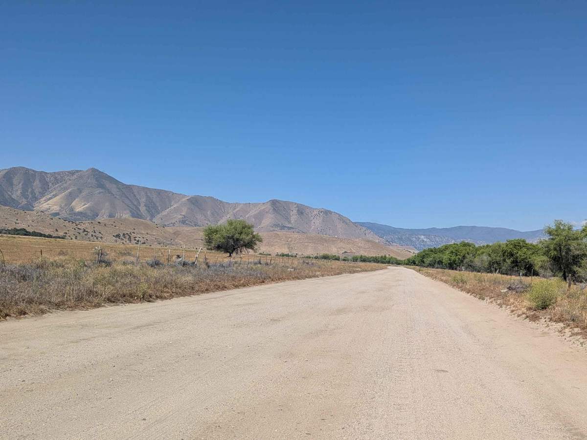
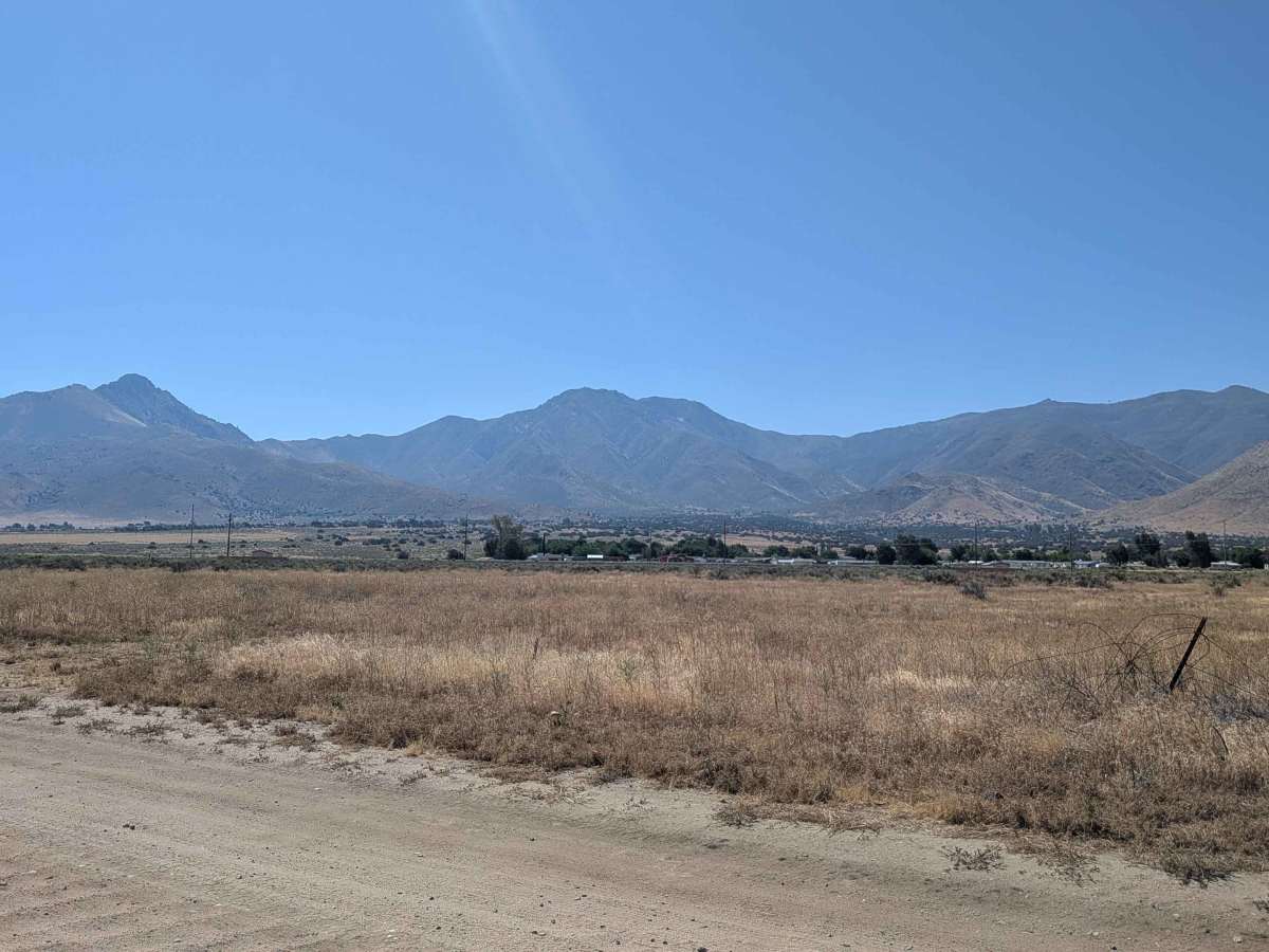
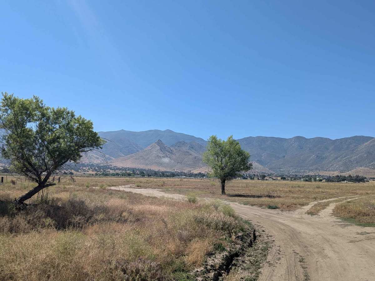
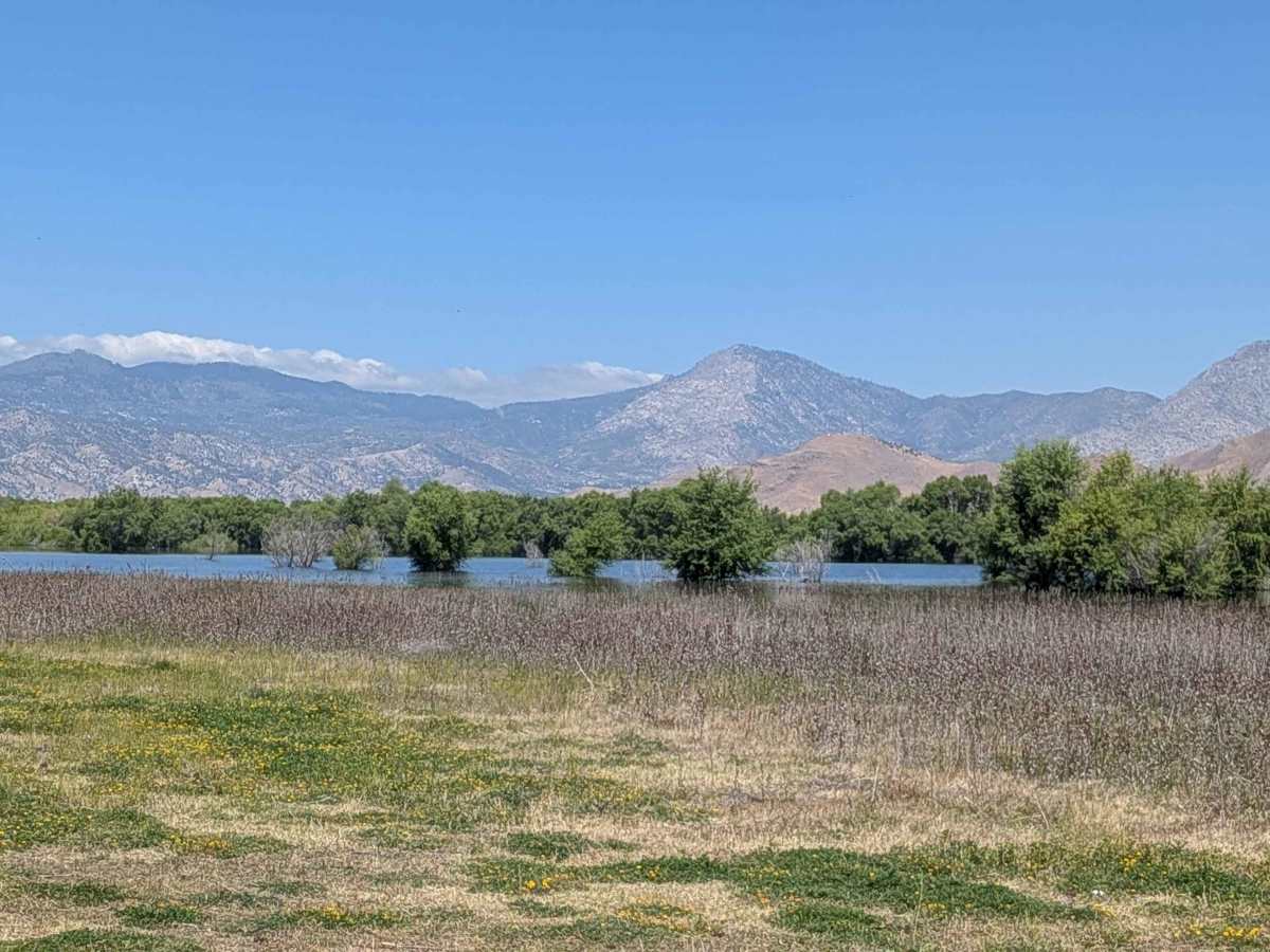
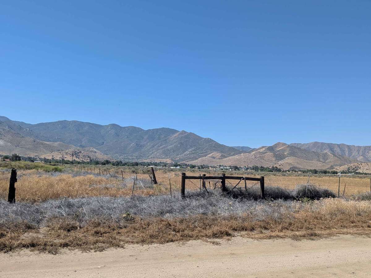
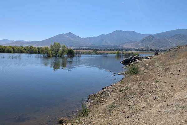
Patterson Lane (FS 26S34) departs from California Route 198 and enters the South Fork Wildlife Area within Sequoia National Forest, offering a gentle and scenic drive through protected forest land. The hard-packed sand surface and Rating 2 character make this one of the more accessible routes in the network. After approximately 0.75 miles, the trail bends toward Lake Isabella, then runs along the lake's east bank through a corridor of trees. The forested lakeside stretch is a notable change of scenery from the open desert trails in the surrounding area. Views of the Sequoia National Forest mountains frame the route throughout. Spring conditions and periods of heavy rainfall can flood this area, particularly near the lake and low-lying sections of the trail. Check conditions before visiting during or after wet weather.
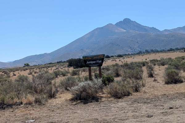
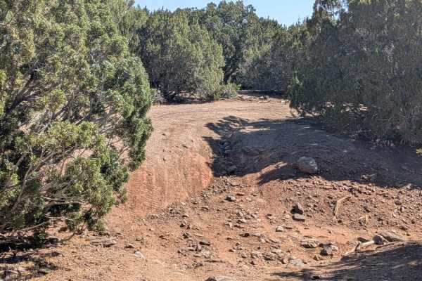
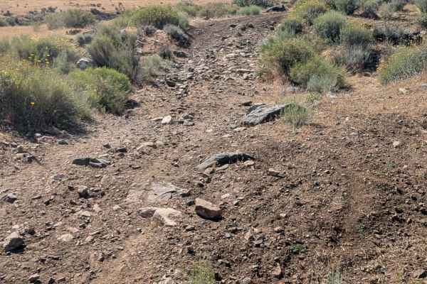
Photos of Patterson Lane - FS 26S34
Difficulty
This trail features washboards and some ruts, and there can be flooded terrain near the lake.
Status Reports
Patterson Lane - FS 26S34 can be accessed by the following ride types:
- High-Clearance 4x4
- SUV
- SxS (60")
- ATV (50")
- Dirt Bike
Patterson Lane - FS 26S34 Map
Popular Trails
East Indian Canyon 4S10
Shell Reef Expressway
San Jacinto Ridge Trail (FS 5S09)
The onX Offroad Difference
onX Offroad combines trail photos, descriptions, difficulty ratings, width restrictions, seasonality, and more in a user-friendly interface. Available on all devices, with offline access and full compatibility with CarPlay and Android Auto. Discover what you’re missing today!