2 trails found in California
Which "peckinpah" are you looking for?
We found 2 off-road trails in California matching your search. Pick the one you're looking for below.
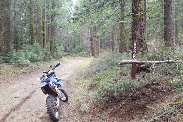
Peckinpah Meadow - FS 8S26
This is a point-to-point trail that creates a loop with Peckinpah Road. It runs past a large meadow area as well as along the mountainside, providing great scenic views of North Fork. The route is at least as wide as a full-size vehicle and has many wider areas allowing vehicles to pass each other e...
Learn more about Peckinpah Meadow - FS 8S26
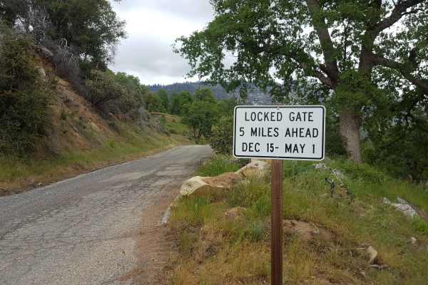
Peckinpah
Peckinpah Trail (FS Route 8S009) is a rugged backcountry route in the Sierra National Forest that challenges experienced offroaders with its rocky climbs and tight forested passages. Ideal for high-clearance 4WDs, dirt bikes, and ATVs, this technical trail offers a rewarding escape for those seeking...
Learn more about Peckinpah