Trail Overview
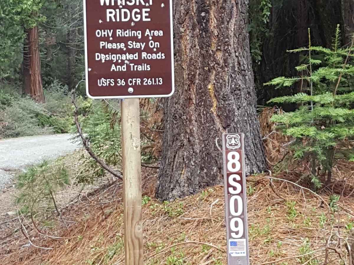
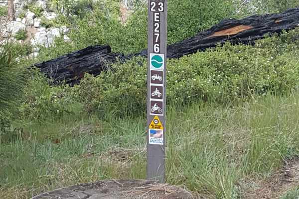
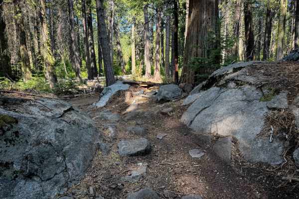
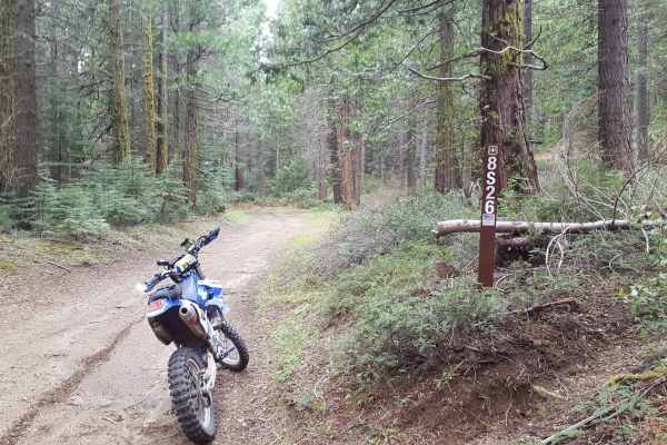
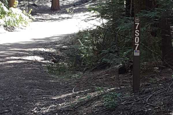
Peckinpah Trail (FS Route 8S009) is a rugged backcountry route in the Sierra National Forest that challenges experienced offroaders with its rocky climbs and tight forested passages. Ideal for high-clearance 4WDs, dirt bikes, and ATVs, this technical trail offers a rewarding escape for those seeking solitude and off-camber terrain in the mountains northwest of North Fork.
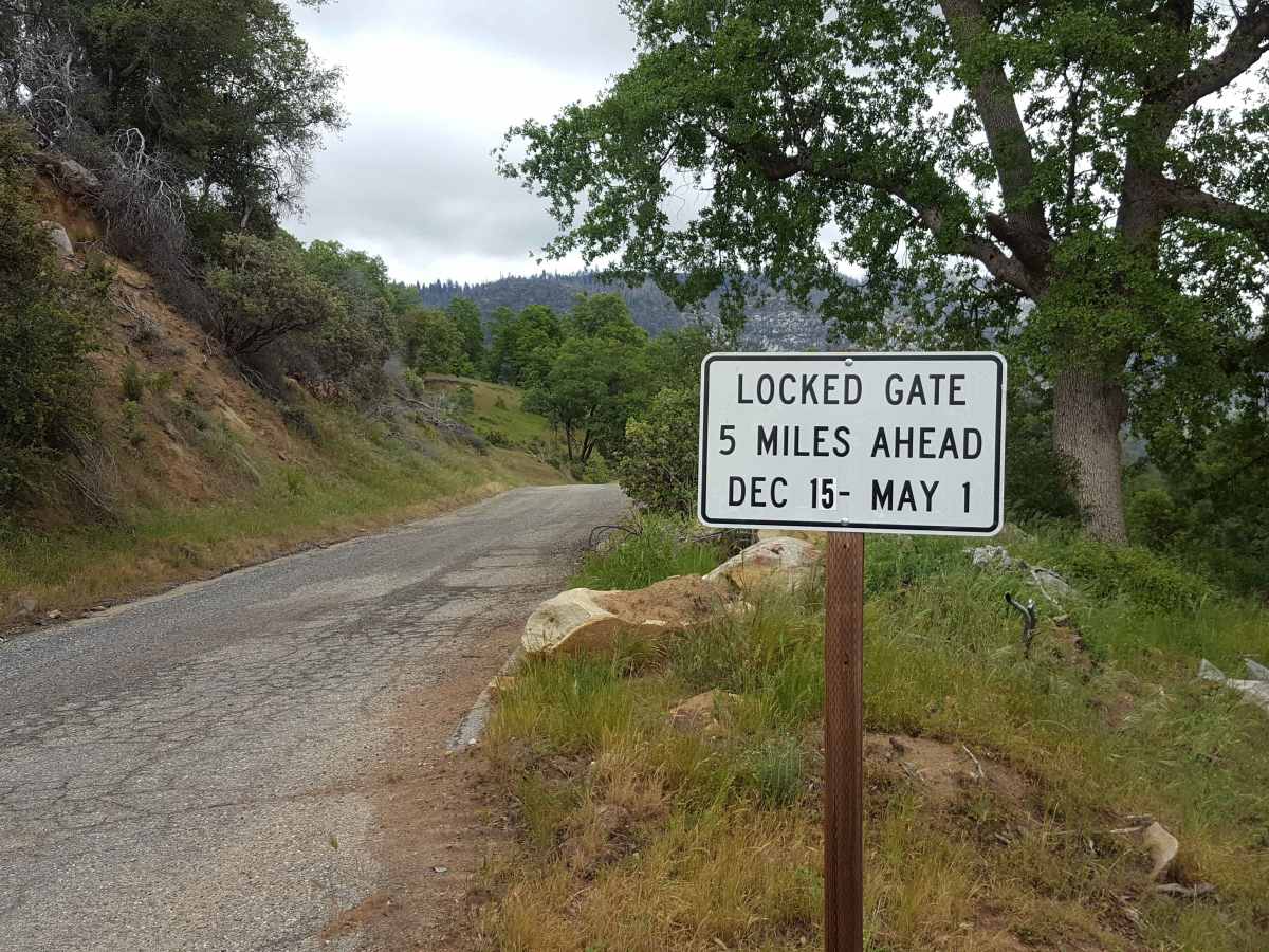
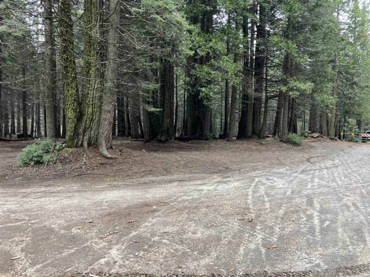
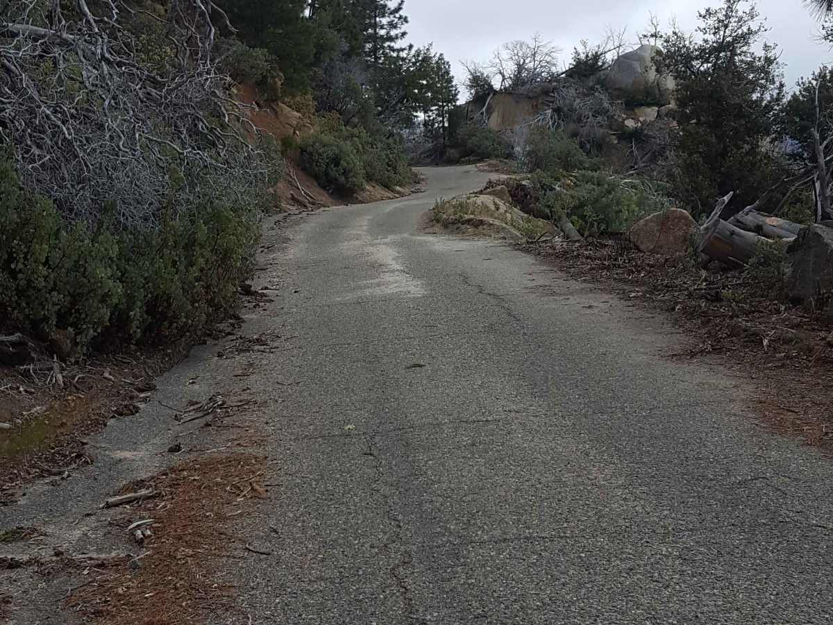
The trail winds through a mix of decomposed granite, loose dirt, and exposed rock, with several steep sections that demand careful tire placement and throttle control. While full-width vehicles like Jeeps and pickups are permitted, narrow sections and limited turnarounds mean you’ll want to know your rig’s dimensions and have recovery gear ready. Peckinpah is part of the Sierra National Forest’s designated OHV network, shown on the Bass Lake MVUM, and is legally open to both street-legal and non-street-legal OHVs where not connected to county roads. Due to its elevation and forested location, access is typically limited to late spring through fall; snow, fallen trees, or erosion after storms can quickly change conditions, so check with the Bass Lake Ranger District before heading out.
One pro tip: after a storm, carry a saw or winch line. You might be the first one breaking trail past a downed log, and there’s not always space to turn around.
Difficulty
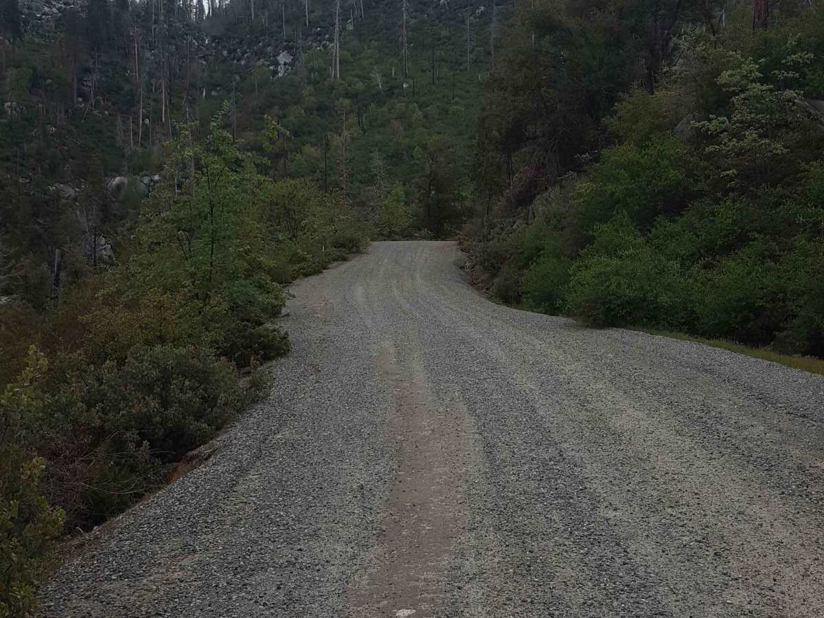
This trail is primarily graded or packed dirt with short sections of broken asphalt or gravel. There can be small rocks, shallow ruts, and mud holes along the route, especially in the upper northern section. Vehicles with moderate clearance should be able to handle the road easily with 2WD unless it is very wet and muddy.