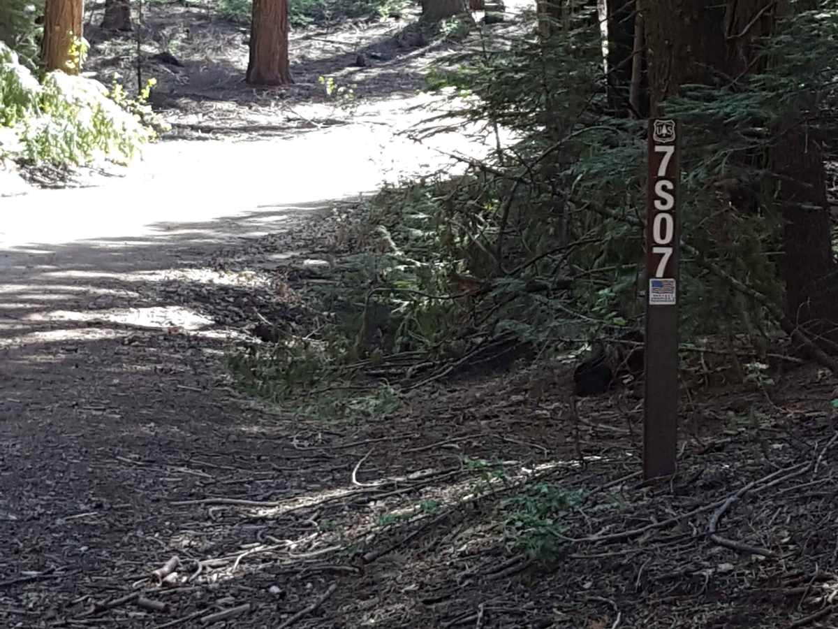
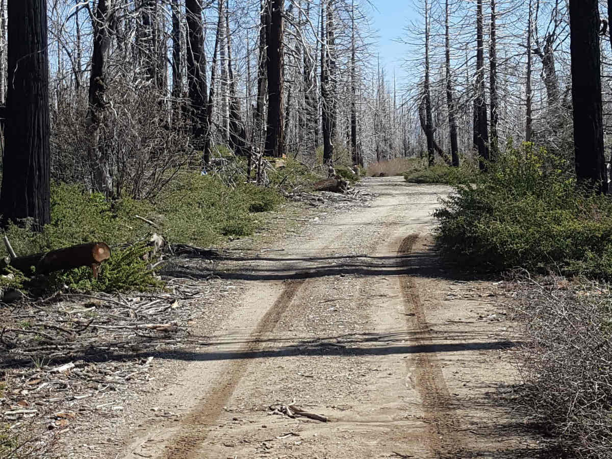
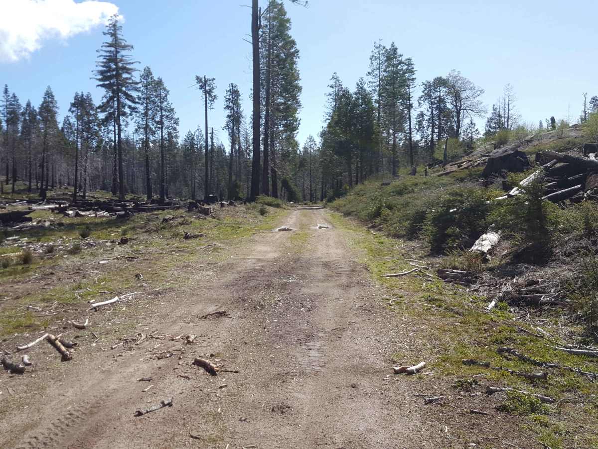
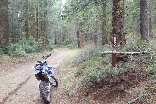
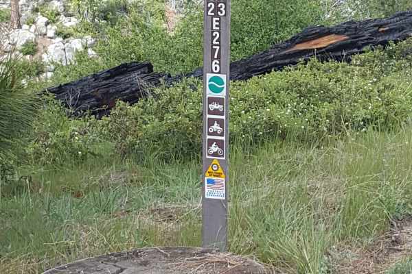
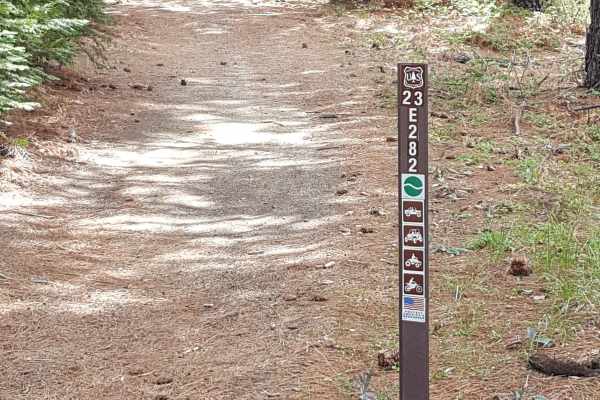
Trail Overview
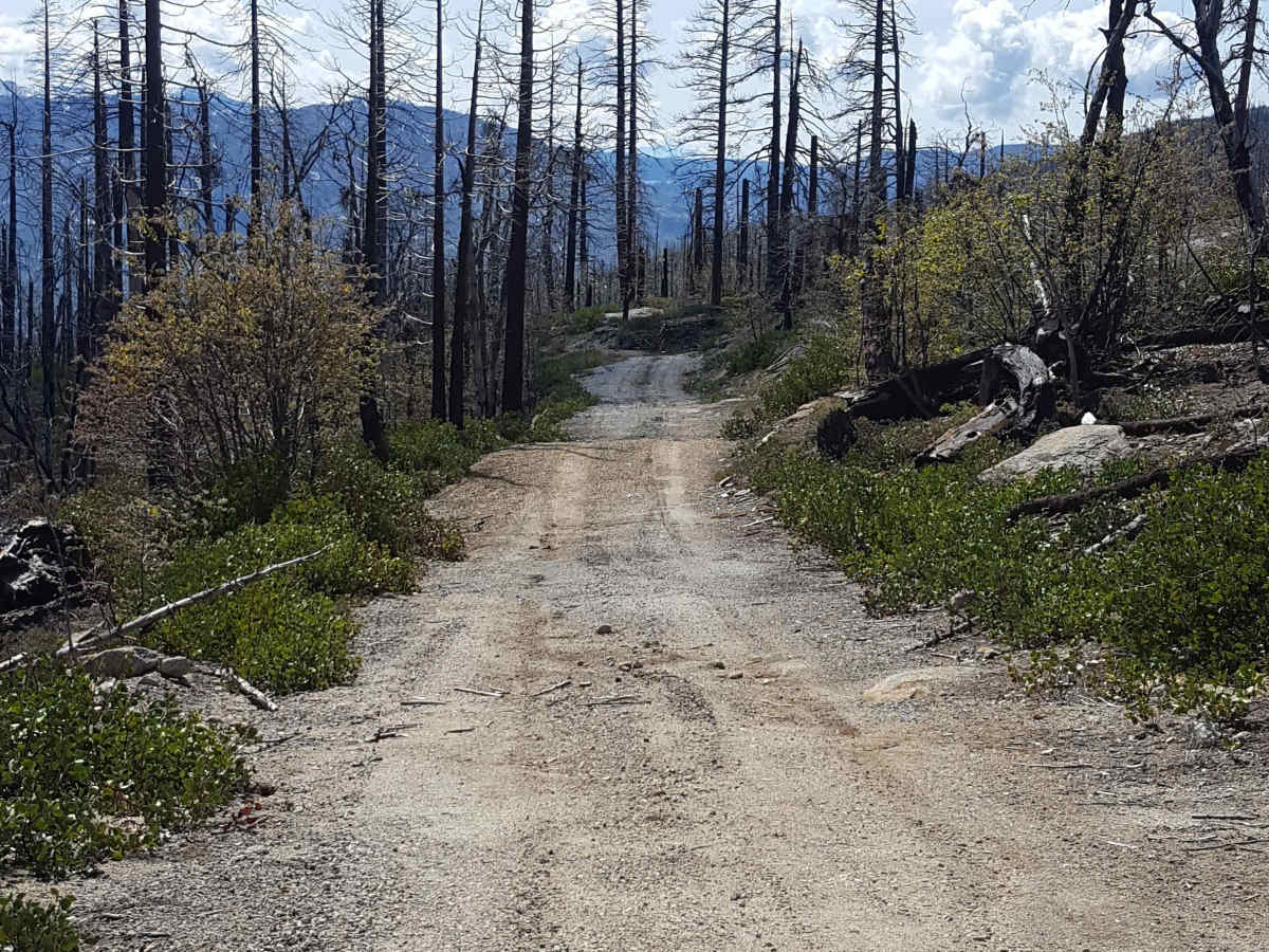
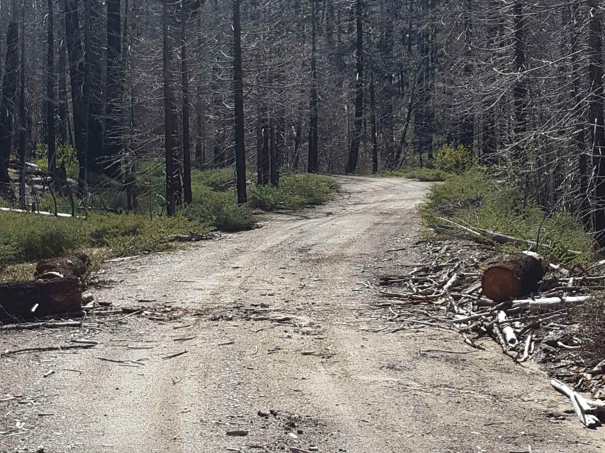
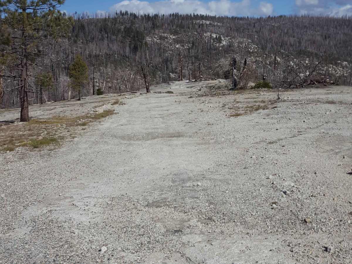
This is a main FS road that will take you out towards Whiskey Ridge and through the Fish and Ross Creek areas, where you can access several other trailheads. Panoramic views of the surrounding forest are possible in sections of this route as it passes along the side of the mountain. The road is generally wide enough in most places for vehicles to pass. It is primarily packed and graded dirt with small rocks. It will have occasional shallow ruts and mud holes depending on the weather. Long stretches pass through areas of forest fire damage, so be aware of unstable burned trees and possible newly fallen tree obstacles across the road. The trail is closed from December to mid-April/early May. There is a pit toilet building and staging area at the west end. Dispersed camping is allowed 150 ft from the trail and 100 ft from natural water sources along this road. There is weak to no cellular phone service in the area and no potable water sources along the trail. Tread Lightly and Pack-It-Out.
Difficulty
This trail is primarily graded or packed dirt with short sections of gravel. There can be small rocks, shallow ruts and mud holes along the route and the potential for newly fallen tree obstacles. Vehicles with moderate clearance should be able to handle the road easily with 2WD unless it is very wet and muddy.