Pilot Rock Road
Total Miles
8.8
Technical Rating
Best Time
Winter, Spring, Summer, Fall
Trail Type
Full-Width Road
Accessible By
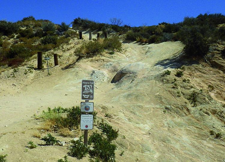
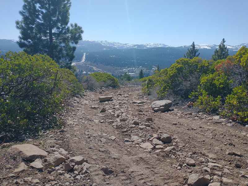
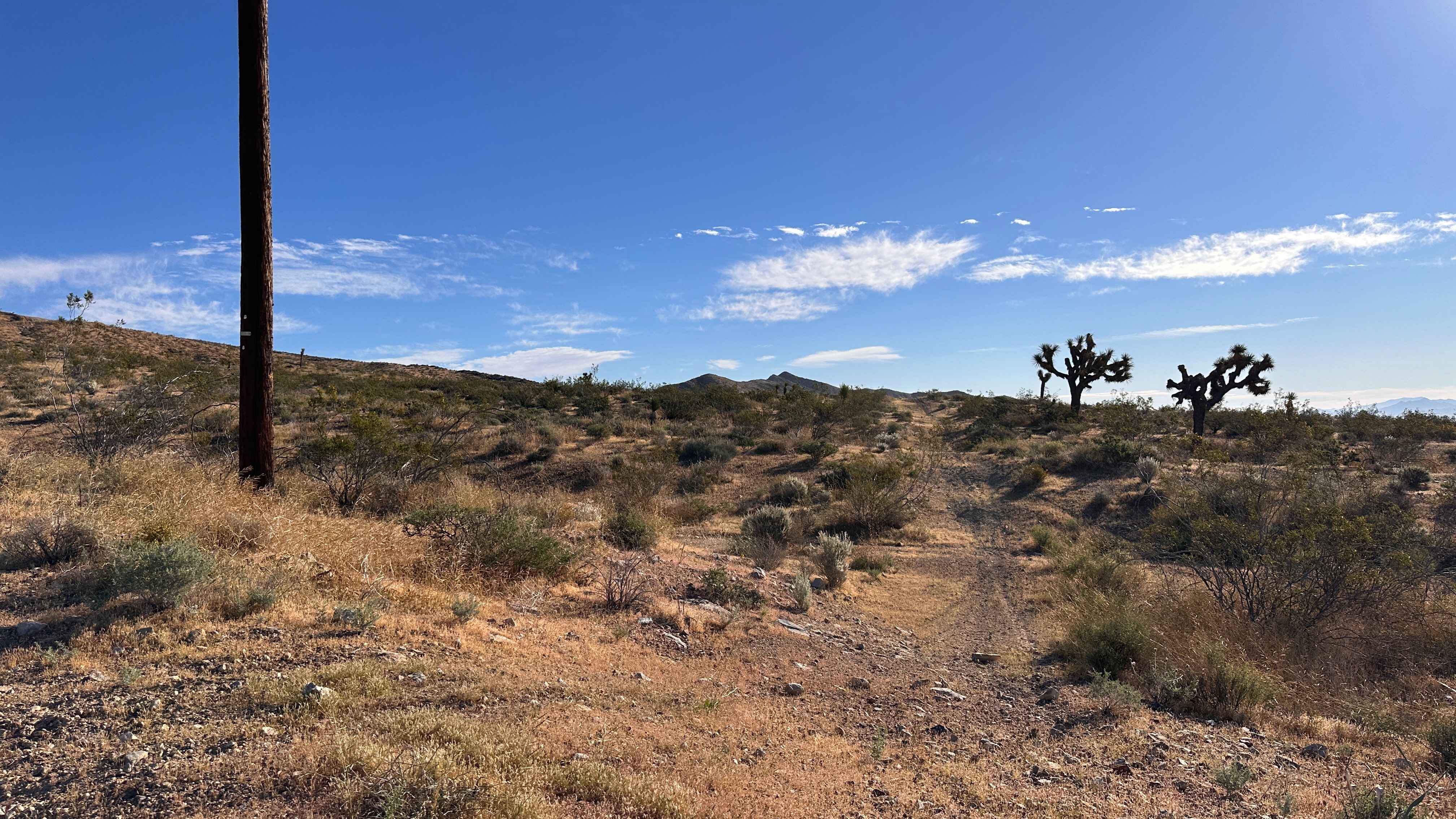
Trail Overview
Photos of Pilot Rock Road
Difficulty
Easy: The main route described here is steep and narrow in a few places but suitable for any high clearance 4x4 vehicle. Ridge route is much steeper with large ruts. Road 2N17X is a hardcore OHV route.
History
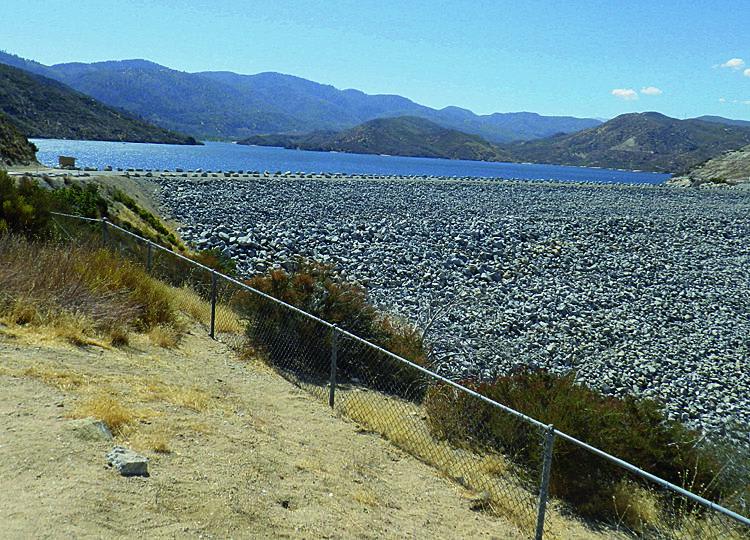
The dam at Silverwood Lake, aka Cedar Springs Dam, was built in 1971. In the early part of the 1900s, about 100 farming families lived in the small town of Cedar Springs, which would now be located at the bottom of the lake, had it not been razed before the lake was filled.
Status Reports
Pilot Rock Road can be accessed by the following ride types:
- High-Clearance 4x4
- SUV
- SxS (60")
- ATV (50")
- Dirt Bike
Pilot Rock Road Map
Popular Trails
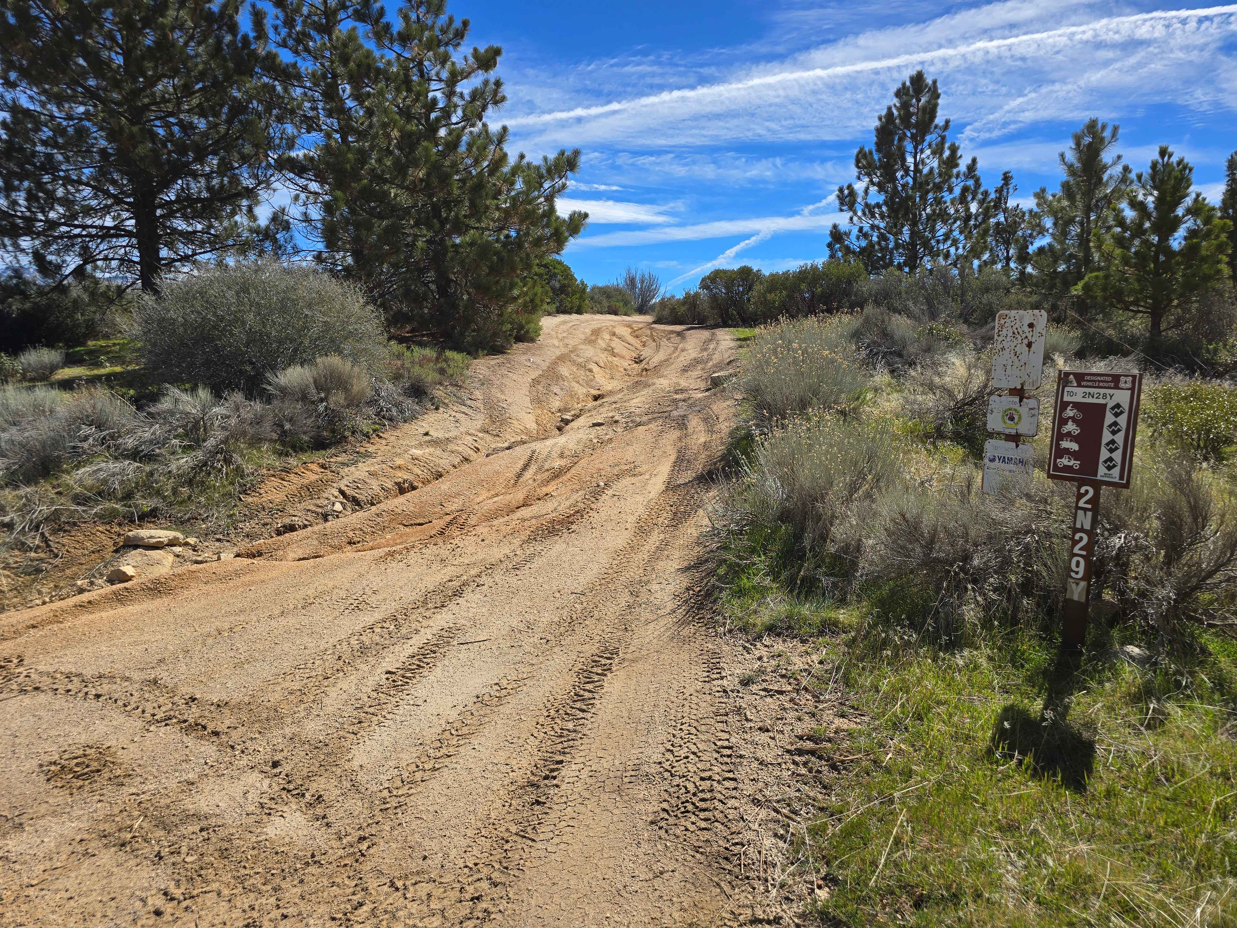
Plantation OHV Road - 2N29Y
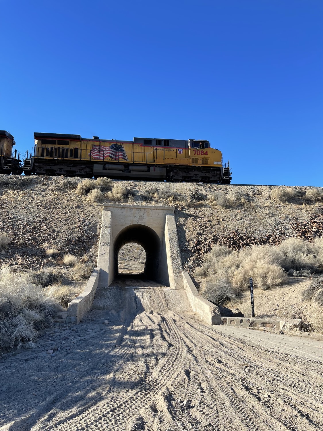
Don't Miss the Train
Iron Mesa
The onX Offroad Difference
onX Offroad combines trail photos, descriptions, difficulty ratings, width restrictions, seasonality, and more in a user-friendly interface. Available on all devices, with offline access and full compatibility with CarPlay and Android Auto. Discover what you’re missing today!