Pettit - FS 26S37
Total Miles
6.1
Technical Rating
Best Time
Fall, Summer, Spring
Trail Type
Full-Width Road
Accessible By
Trail Overview
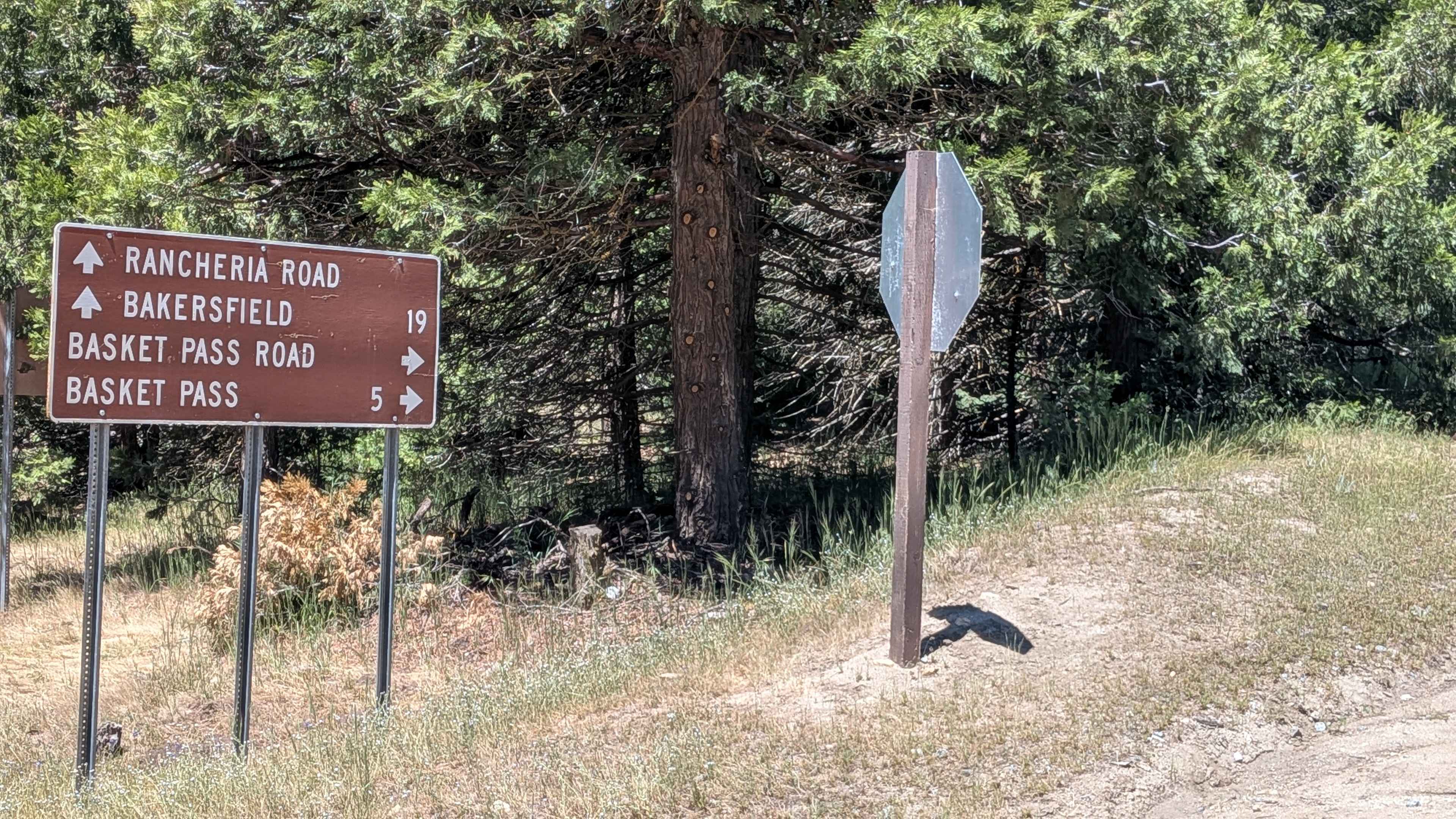
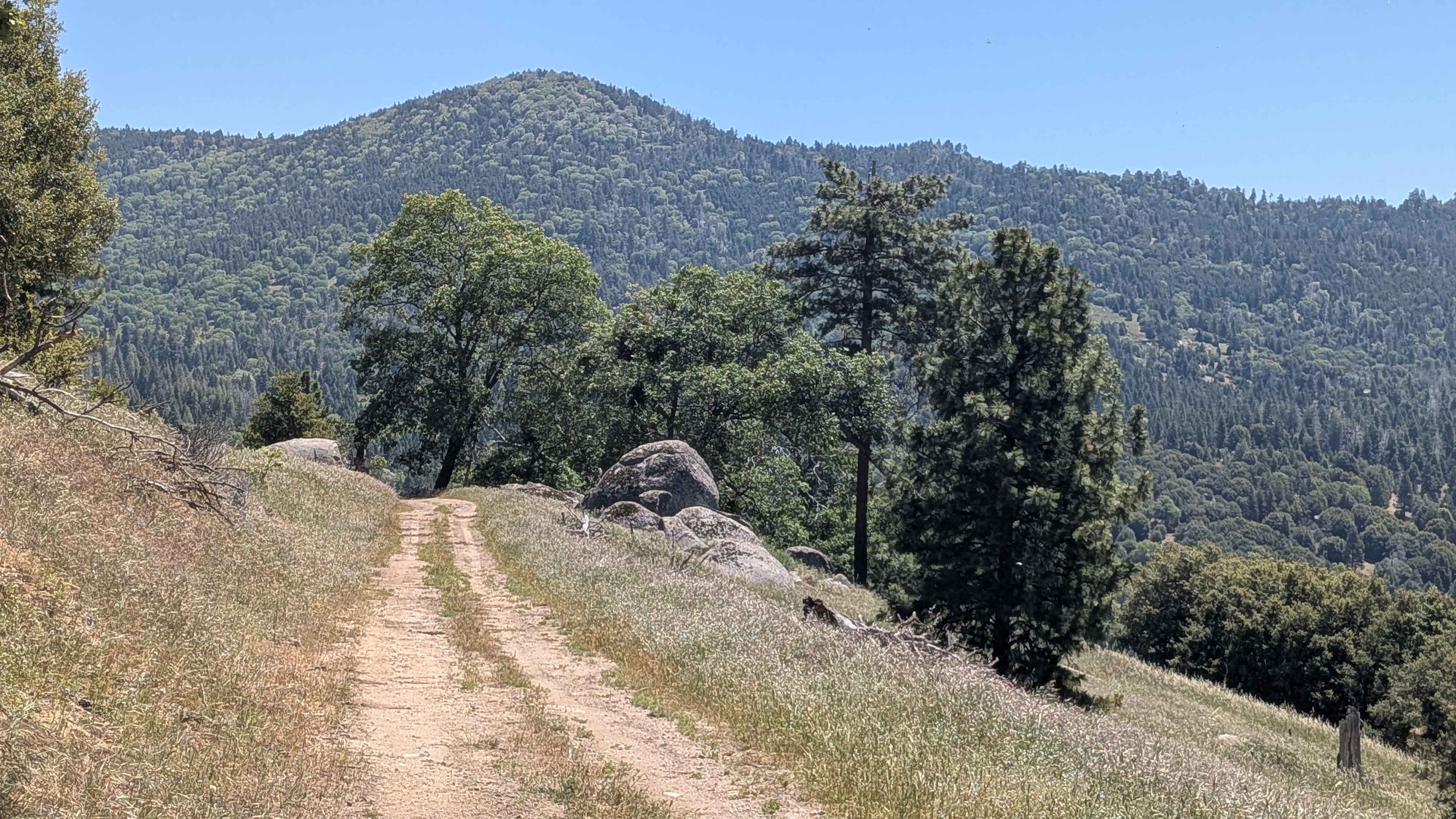
Pettitt (FS 26S03) runs 6 miles from Basket Pass down to Rancheria Road South, dropping 900 feet and gaining 437 feet along a varied course through the thick Sequoia National Forest. The trail is lined with a mix of pine and oak trees, with occasional boulder fields adding visual interest along the way. Shelf road sections open up views of the valleys and hills below at intervals. Evidence of the 2021 French Fire is visible throughout. At approximately the halfway point, the trail passes through Pettit Place, a low area where the trail can be slightly wet depending on the season and recent rainfall. The generous 1.5 vehicle width provides comfortable passing room for oncoming traffic throughout most of the route.
Photos of Pettit - FS 26S37
Difficulty
Pettitt rates a 2 under dry conditions. Small ruts and mild uneven terrain are the primary obstacles and remain manageable on the hard-packed dirt surface when dry. Wet conditions at Pettit Place near the midpoint add a variable element, and the rating can increase with moisture. The overall elevation change across 6 miles is gradual enough to avoid any sustained steep sections.
Status Reports
Pettit - FS 26S37 can be accessed by the following ride types:
- High-Clearance 4x4
- SUV
- SxS (60")
- ATV (50")
- Dirt Bike
Pettit - FS 26S37 Map
Popular Trails
Aquaduct Service Road Grapevine - BLM LA1
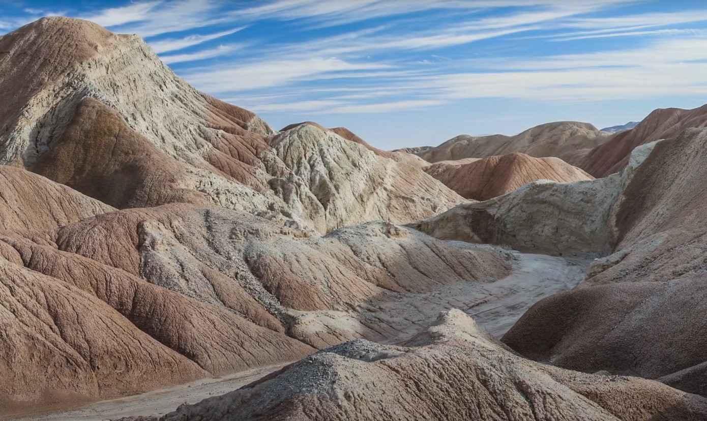
Hills of the Moon
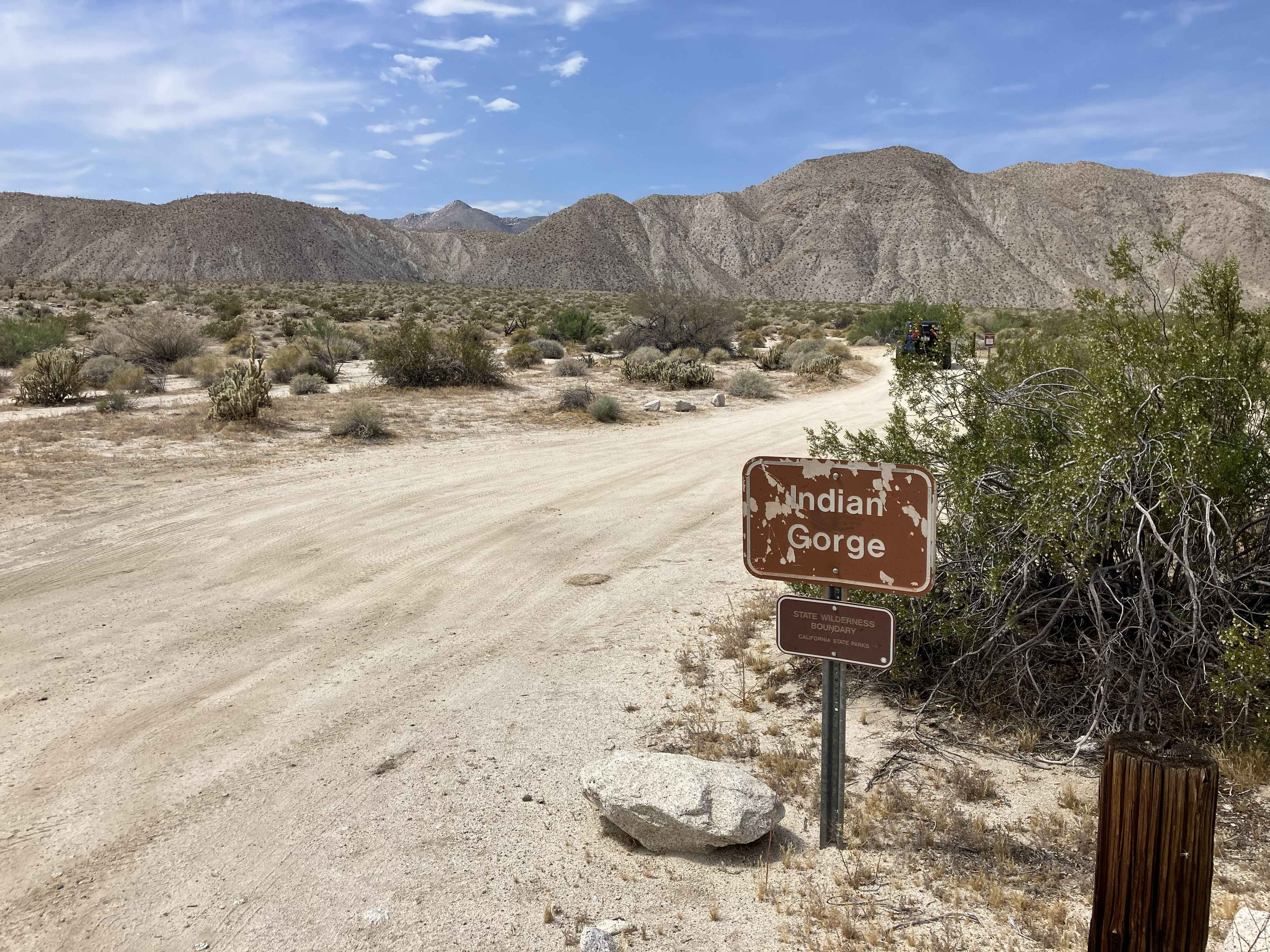
Indian Gorge Road
The onX Offroad Difference
onX Offroad combines trail photos, descriptions, difficulty ratings, width restrictions, seasonality, and more in a user-friendly interface. Available on all devices, with offline access and full compatibility with CarPlay and Android Auto. Discover what you’re missing today!