Off-Road Trails in Washington
Discover off-road trails in Washington
Learn more about Bethel Ridge Road 15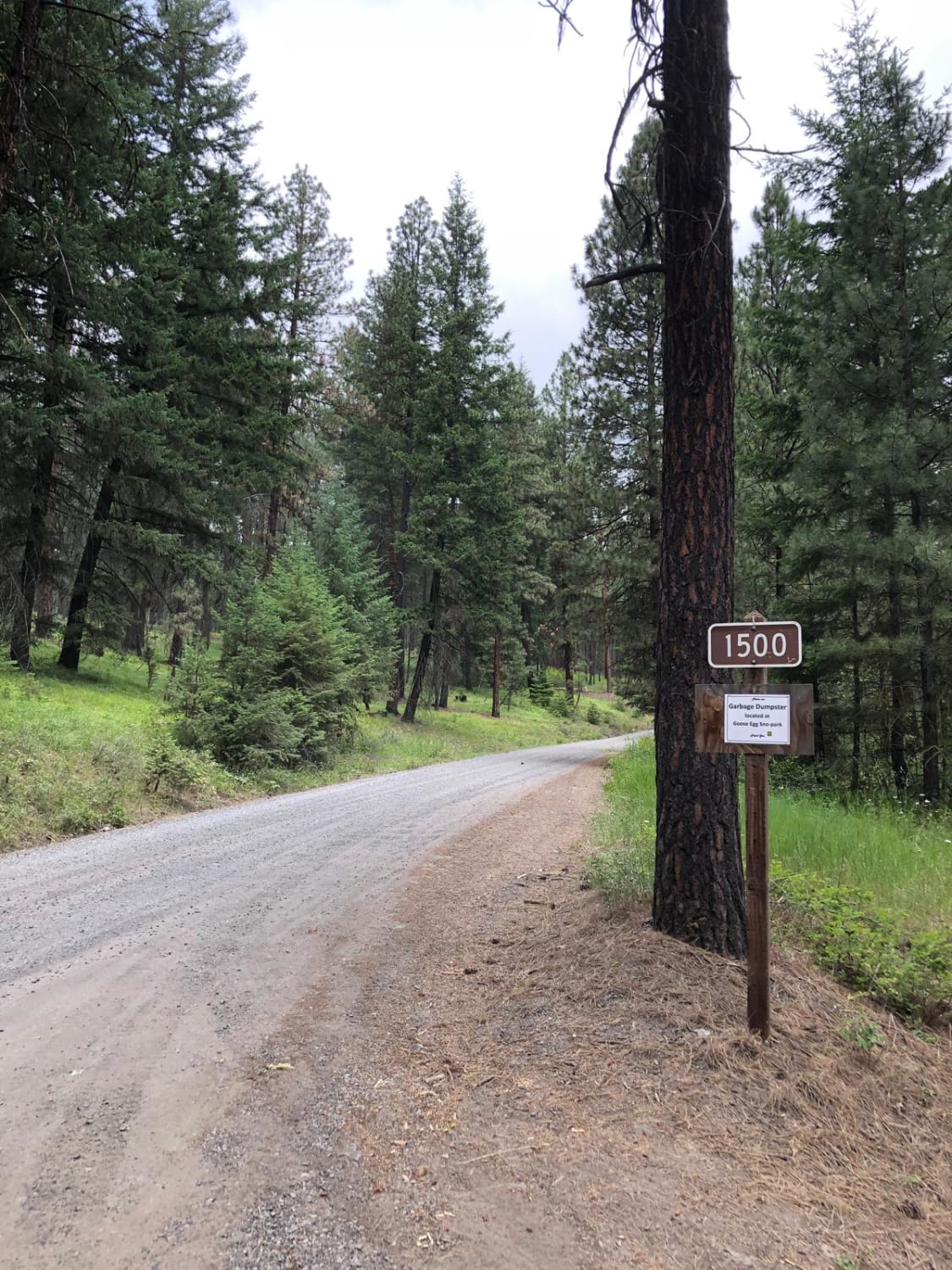
Bethel Ridge Road 15
Total Miles
6.7
Tech Rating
Easy
Best Time
Spring, Summer, Fall
Learn more about Bethel Ridge Road East
Bethel Ridge Road East
Total Miles
6.0
Tech Rating
Moderate
Best Time
Summer, Fall
Learn more about Bethel Ridge Road West
Bethel Ridge Road West
Total Miles
2.1
Tech Rating
Easy
Best Time
Summer, Fall
Learn more about Bethel Ridge Tie Road
Bethel Ridge Tie Road
Total Miles
7.2
Tech Rating
Easy
Best Time
Summer, Fall
Learn more about Big Butte Lookout
Big Butte Lookout
Total Miles
0.6
Tech Rating
Easy
Best Time
Spring, Summer, Fall
Learn more about Big Lava Bed Trail
Big Lava Bed Trail
Total Miles
21.7
Tech Rating
Easy
Best Time
Spring, Summer, Fall, Winter
Learn more about Big Meadow Creek Road
Big Meadow Creek Road
Total Miles
5.3
Tech Rating
Easy
Best Time
Spring, Summer, Fall
Learn more about Big Quil Dam Road
Big Quil Dam Road
Total Miles
7.5
Tech Rating
Easy
Best Time
Spring, Summer, Fall, Winter
Learn more about Blag Mountain
Blag Mountain
Total Miles
5.2
Tech Rating
Easy
Best Time
Spring, Summer, Fall
Learn more about Blanchard Mountain
Blanchard Mountain
Total Miles
3.8
Tech Rating
Easy
Best Time
Spring, Summer, Fall
Learn more about Blue Creek NF9738
Blue Creek NF9738
Total Miles
12.1
Tech Rating
Easy
Best Time
Spring, Summer, Fall
Learn more about Boardman Lake Trail
Boardman Lake Trail
Total Miles
6.0
Tech Rating
Easy
Best Time
Summer, Fall
Learn more about Bohinkleman Road
Bohinkleman Road
Total Miles
3.0
Tech Rating
Easy
Best Time
Spring, Summer, Fall
Learn more about Boulder Alley
Boulder Alley
Total Miles
0.4
Tech Rating
Moderate
Best Time
Spring, Summer, Fall


Learn more about Bowen Mountain - FS 1500-190
Bowen Mountain - FS 1500-190
Total Miles
1.9
Tech Rating
Easy
Best Time
Spring, Summer, Fall
ATV trails in Washington


Learn more about 4104504 - Deep Woods Adventure
4104504 - Deep Woods Adventure
Total Miles
5.8
Tech Rating
Moderate
Best Time
Spring, Summer, Fall
UTV/side-by-side trails in Washington
Learn more about 4104504 - Deep Woods Adventure
4104504 - Deep Woods Adventure
Total Miles
5.8
Tech Rating
Moderate
Best Time
Spring, Summer, Fall
The onX Offroad Difference
onX Offroad combines trail photos, descriptions, difficulty ratings, width restrictions, seasonality, and more in a user-friendly interface. Available on all devices, with offline access and full compatibility with CarPlay and Android Auto. Discover what you’re missing today!