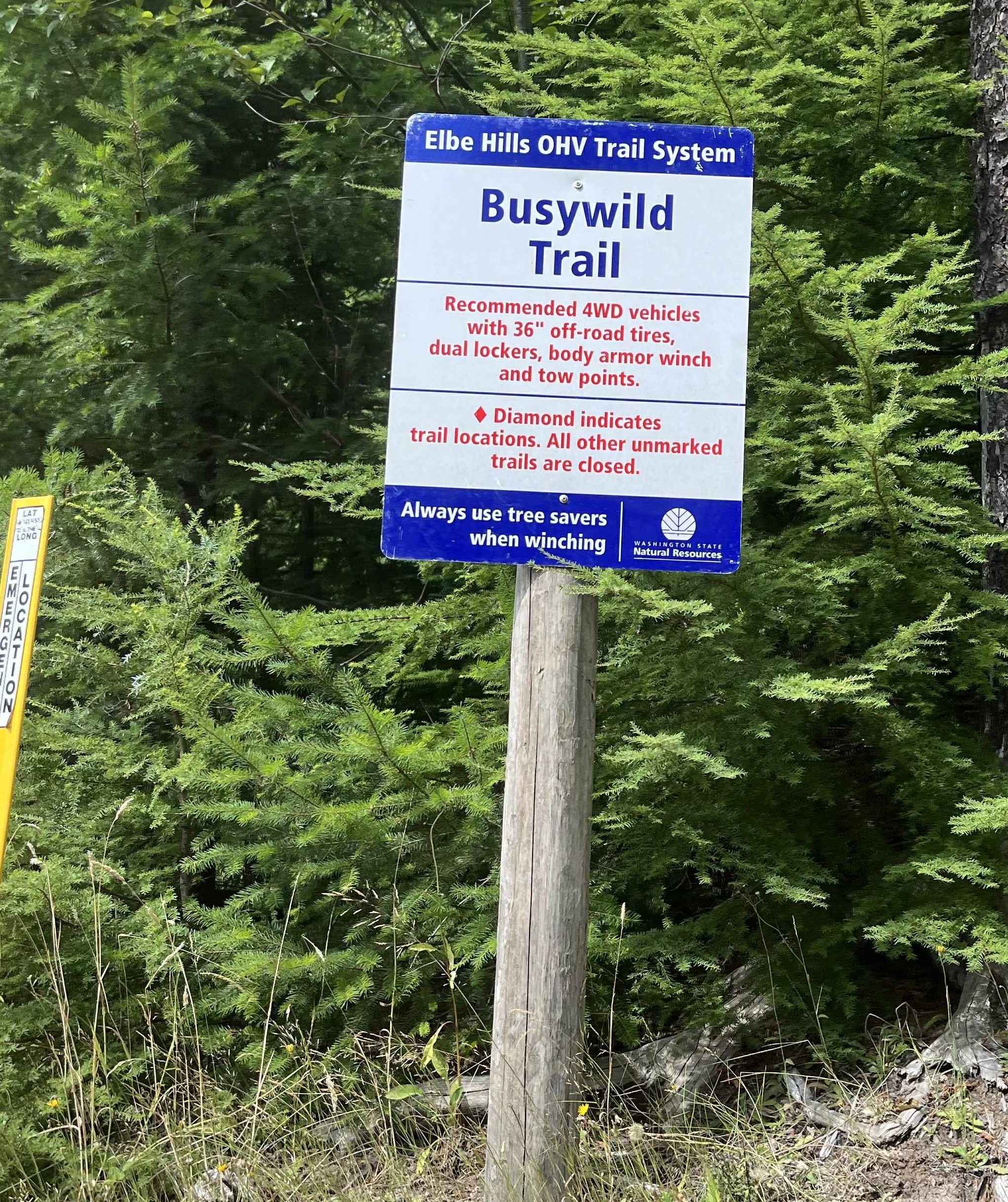
Off-Road Trails in Washington
Discover off-road trails in Washington
Learn more about Box Canyon - FS 1500-030
Box Canyon - FS 1500-030
Total Miles
3.7
Tech Rating
Easy
Best Time
Spring, Summer, Fall
Learn more about Box Canyon Creek - FS 4930
Box Canyon Creek - FS 4930
Total Miles
4.0
Tech Rating
Easy
Best Time
Spring, Summer, Fall
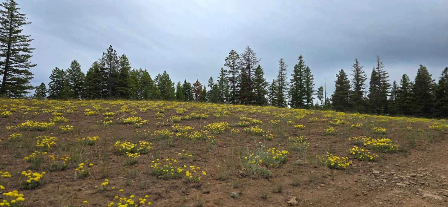
Learn more about Box Canyon Road
Box Canyon Road
Total Miles
3.3
Tech Rating
Easy
Best Time
Spring, Summer, Fall, Winter
Learn more about Bremer Mountain
Bremer Mountain
Total Miles
8.8
Tech Rating
Easy
Best Time
Summer, Spring, Fall
Learn more about Brewton Gulch Road
Brewton Gulch Road
Total Miles
5.8
Tech Rating
Easy
Best Time
Spring, Summer, Fall
Learn more about Brickel Creek Road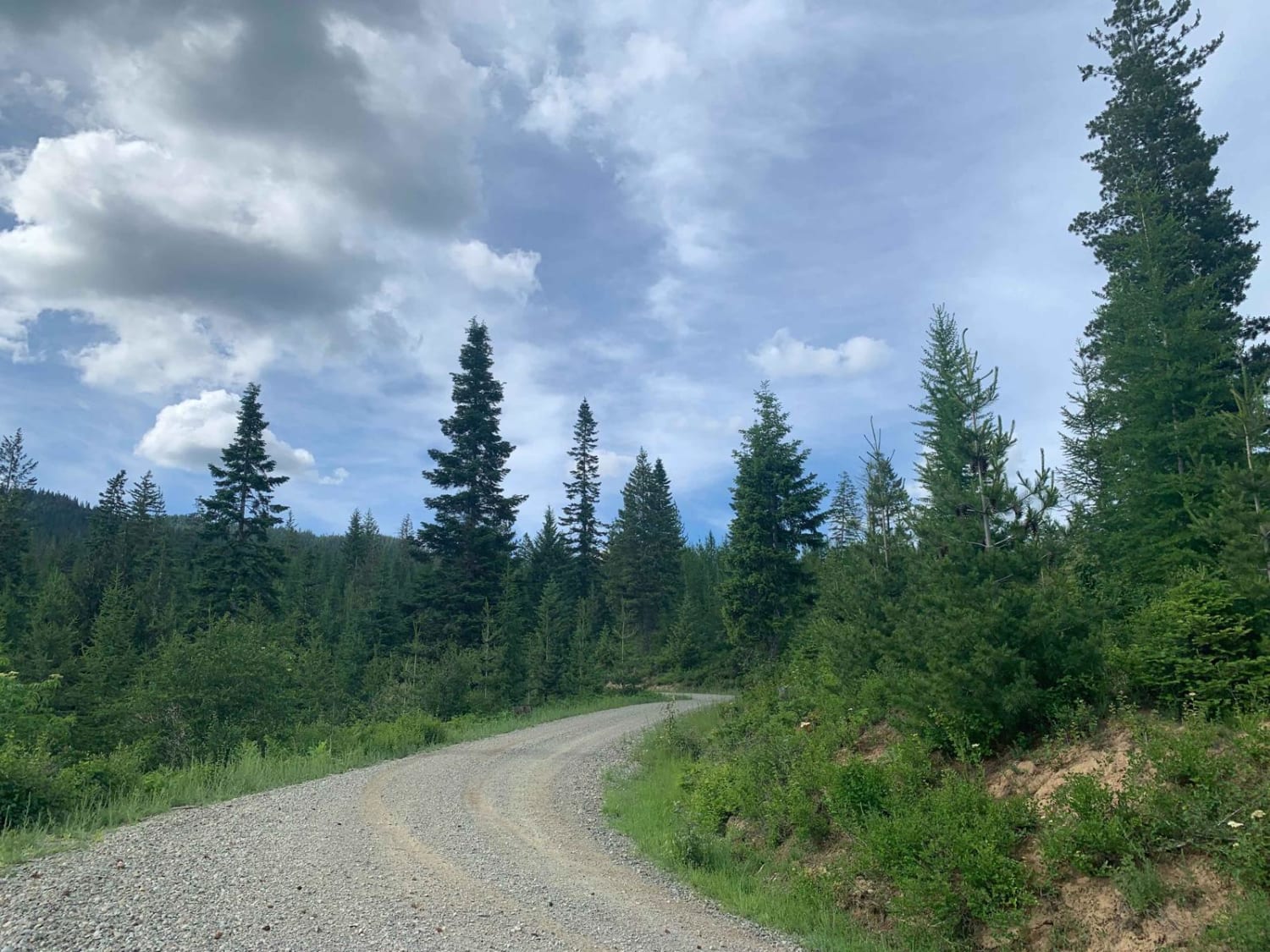
Brickel Creek Road
Total Miles
7.4
Tech Rating
Easy
Best Time
Summer, Fall, Spring
Learn more about Bridge Brook Drive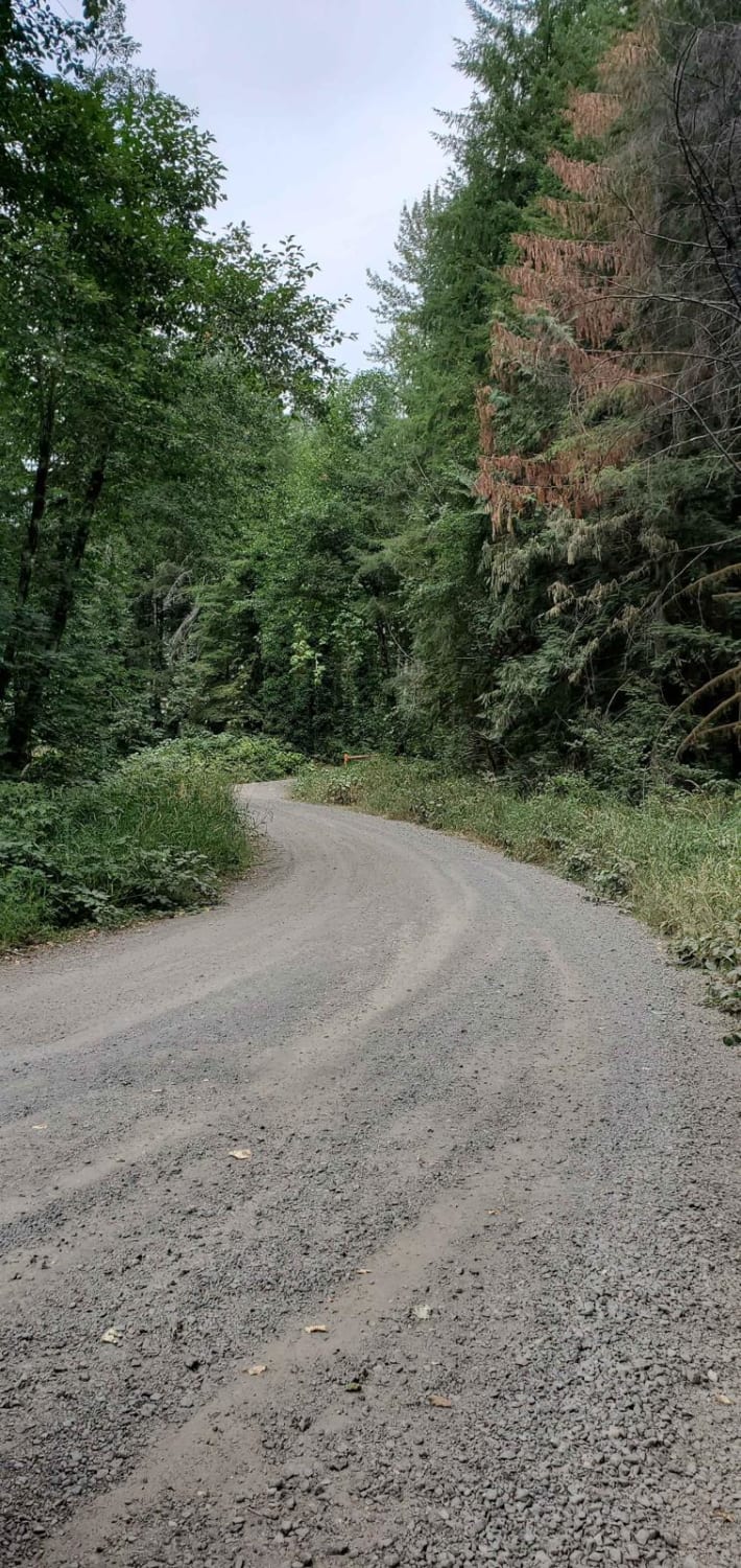
Bridge Brook Drive
Total Miles
1.6
Tech Rating
Easy
Best Time
Spring, Summer, Fall
Learn more about Buck Creek N-1000 to Little Baldy Peak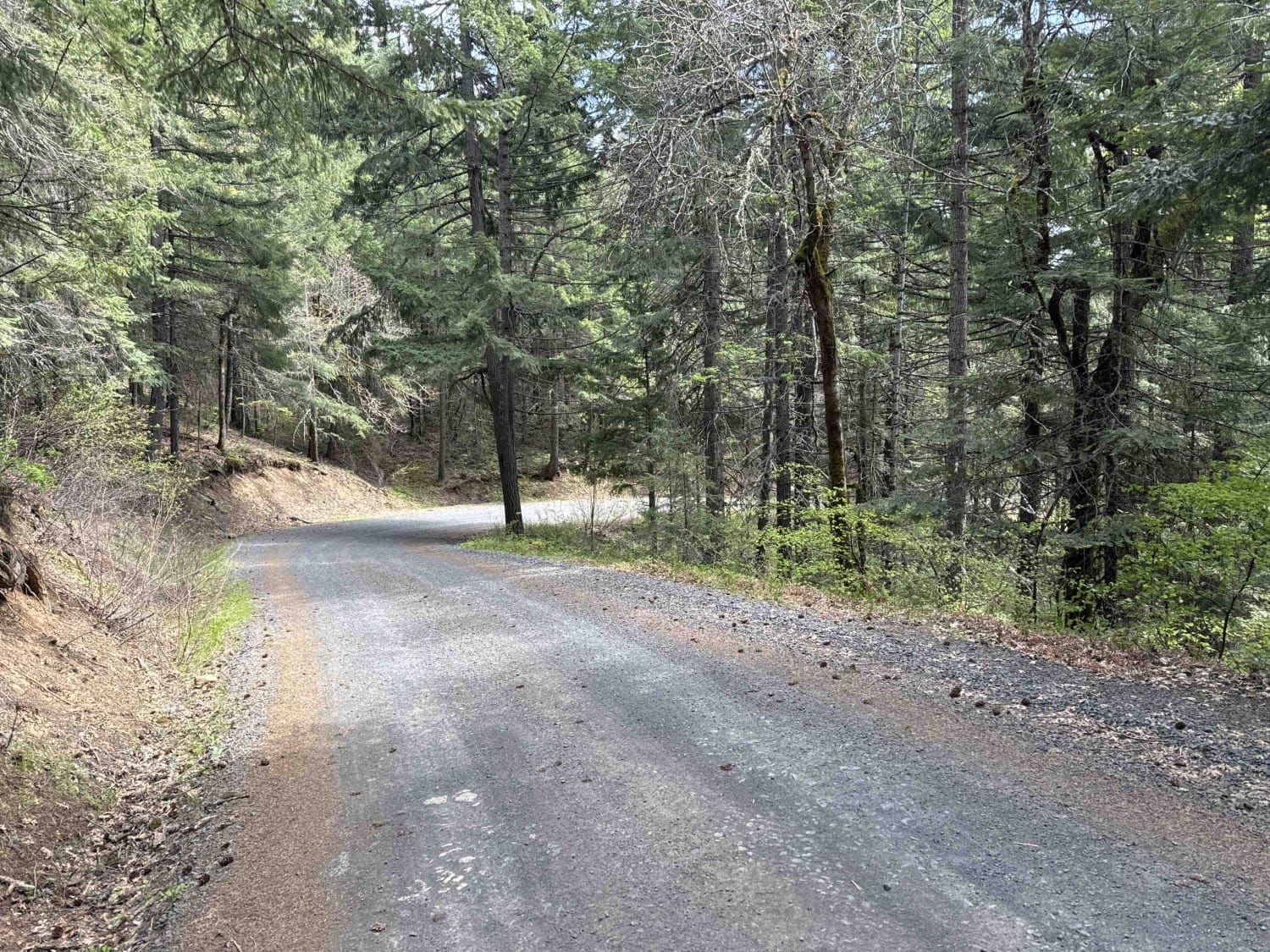
Buck Creek N-1000 to Little Baldy Peak
Total Miles
8.2
Tech Rating
Easy
Best Time
Spring, Summer, Fall
Learn more about Buck Mountain Ridge Rd - FS 2060060
Buck Mountain Ridge Rd - FS 2060060
Total Miles
2.6
Tech Rating
Easy
Best Time
Spring, Summer, Fall
Learn more about Buck Ridge B Line Connector
Buck Ridge B Line Connector
Total Miles
8.1
Tech Rating
Easy
Best Time
Spring, Summer, Fall, Winter
Learn more about Buffalo Ridge Road
Buffalo Ridge Road
Total Miles
3.4
Tech Rating
Easy
Best Time
Spring, Summer, Fall, Winter
Learn more about Burley Mountain Road
Burley Mountain Road
Total Miles
9.6
Tech Rating
Easy
Best Time
Spring, Summer, Fall
Learn more about Burley Mountain Trail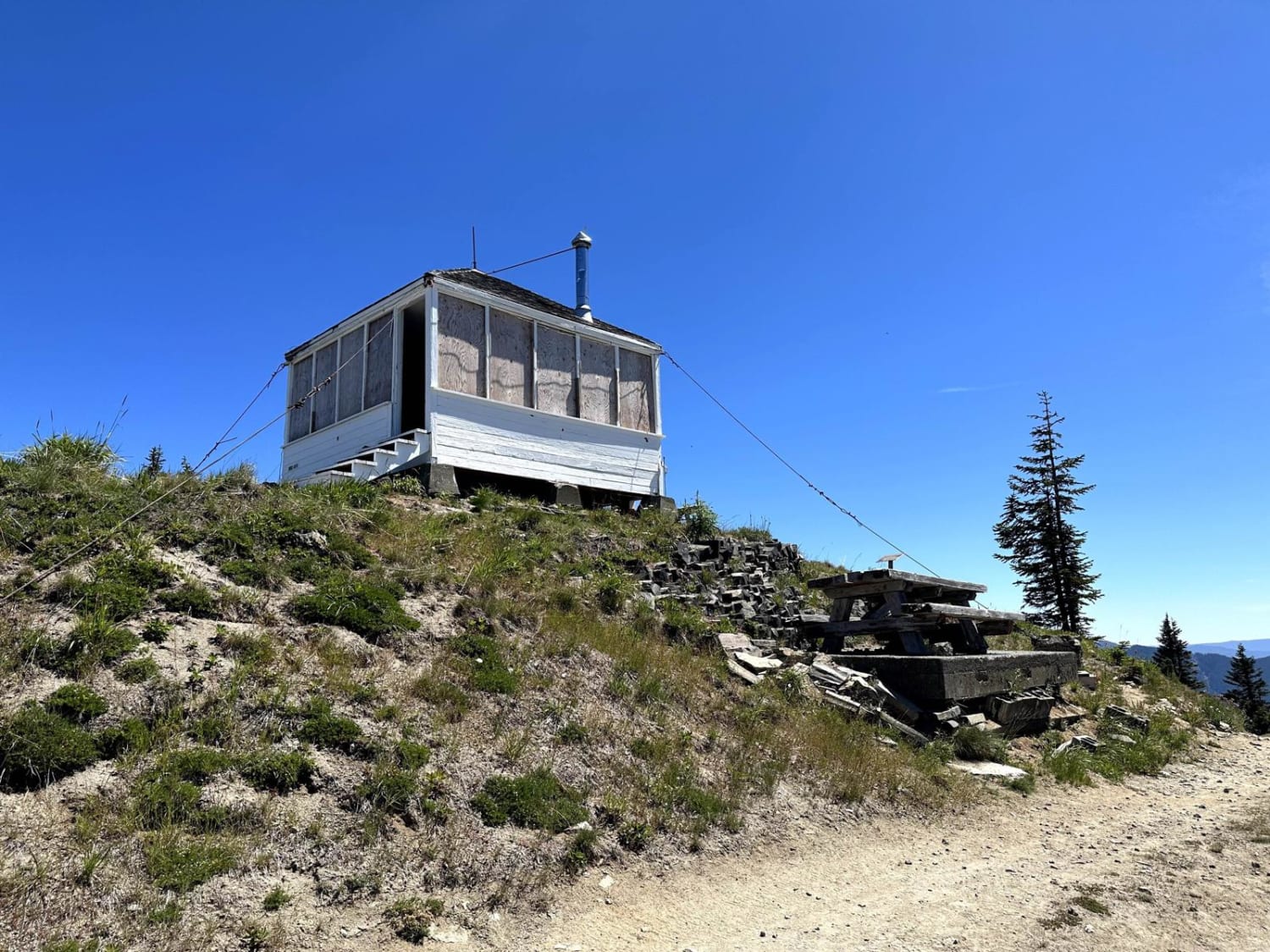
Burley Mountain Trail
Total Miles
2.6
Tech Rating
Easy
Best Time
Spring, Summer, Fall
Learn more about Butter Creek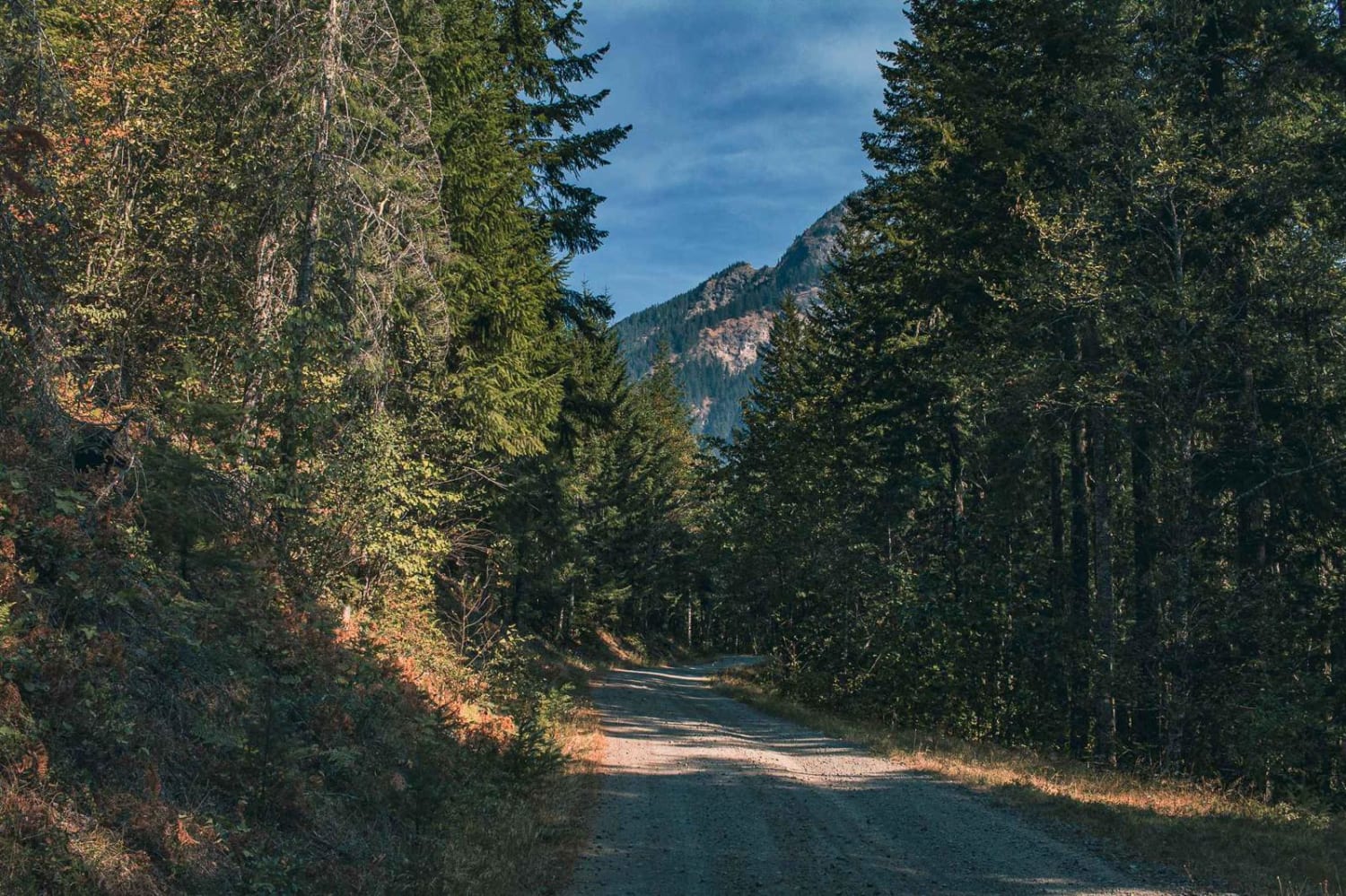
Butter Creek
Total Miles
7.4
Tech Rating
Easy
Best Time
Spring, Summer, Fall, Winter
Learn more about C Line Connector - C Line Road
C Line Connector - C Line Road
Total Miles
5.7
Tech Rating
Easy
Best Time
Summer, Fall, Spring
ATV trails in Washington


Learn more about 4104504 - Deep Woods Adventure
4104504 - Deep Woods Adventure
Total Miles
5.8
Tech Rating
Moderate
Best Time
Spring, Summer, Fall
UTV/side-by-side trails in Washington
Learn more about 4104504 - Deep Woods Adventure
4104504 - Deep Woods Adventure
Total Miles
5.8
Tech Rating
Moderate
Best Time
Spring, Summer, Fall
The onX Offroad Difference
onX Offroad combines trail photos, descriptions, difficulty ratings, width restrictions, seasonality, and more in a user-friendly interface. Available on all devices, with offline access and full compatibility with CarPlay and Android Auto. Discover what you’re missing today!