
Off-Road Trails in Washington
Discover off-road trails in Washington
Off-Road Trails in Washington
Discover the best off-road trails in Washington. Browse trail maps, check difficulty ratings, and find your next adventure — whether you're looking for a quick ride or an all-day expedition.

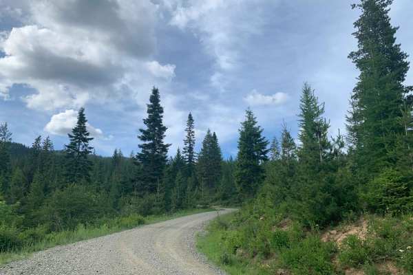
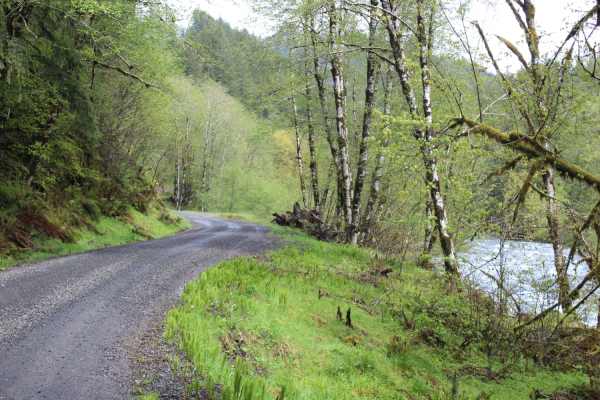
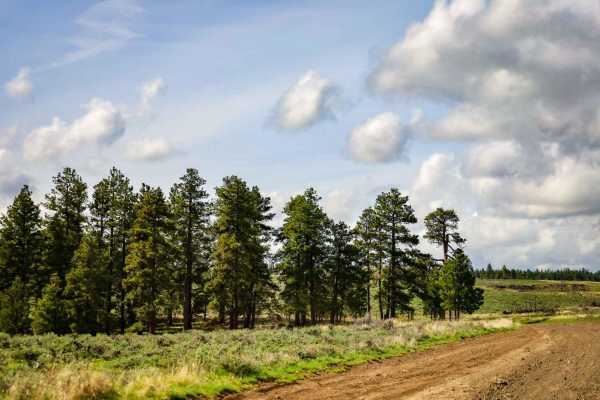
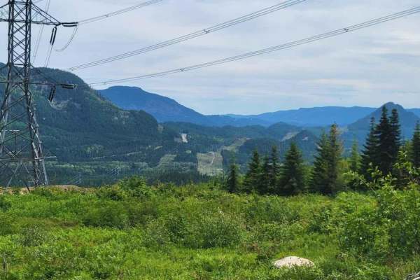
L-1100
L-1100 is located in the Yacolt Burn State Forest which is nestled at the base of the Cascade Mountain Range in Southwest Washington. These roads are well maintained and are gravel with very few potholes. There are houses and private property along this route for the first section of this trail. The...
Learn more about L-1100
Brickel Creek Road
This road travels east/west through Inland Empire Paper's Brickel Creek Gate and connects to multiple other trails. The road is normally in decent shape with just a few ruts and washouts along the way. Mud or snow conditions may add to the difficulty level in spring and fall. This is a popular ar...
Learn more about Brickel Creek Road
East Waddell Basin
Easternmost trail that runs between Middle Waddell, the Southernmost staging area, and Rock Candy, the Northernmost staging area. The trail runs through fast flowy wooded sections, along with up and down switchbacks in the trees and out in the clear cuts. The trail is mostly composed of clay dirt, w...
Learn more about East Waddell Basin
FS70 Greenwater to Cliffdell
You will find FS70 outside Greenwater, heading east off of SR410. This road is paved for the first 10 miles. There are many camping spots along the way. When you reach the sno-park, the gravel will start. In the winter, the road stops here and is only accessible to snowmobiles. The gravel is easy, w...
Learn more about FS70 Greenwater to Cliffdell
Cleman Mountain
The Cleman Mountain trail is a relatively easy trail with great views. This trail is mainly a one vehicle wide road with lots of wide places to pass. The trail does not have many obstacles but is very rough with some loose rock and a few rutted sections. Along the way you will go through some meadow...
Learn more about Cleman Mountain
Graves Creek Camp Trail
After passing a very inviting lake and community, expect a dusty dirt road with some winding turns and potholes in the road. Mostly one vehicle wide. No RV or trailers are allowed at the campground or on the road to it. Prior to the sign, trailers are okay. Very scenic, with pull-outs to hike trails...
Learn more about Graves Creek Camp Trail
NF-2550 (HooDoo)
This route crosses over Mt HooDoo (elevation 5,119') from Blanchard to Priest River via National Forest Road 2550. The views up here are incredible on a clear day. Mt. Hoodoo is a popular spot for off-roading, hunting, and ATV's. It's also popular with snowmobilers during the winter months.
Learn more about NF-2550 (HooDoo)

L-1200
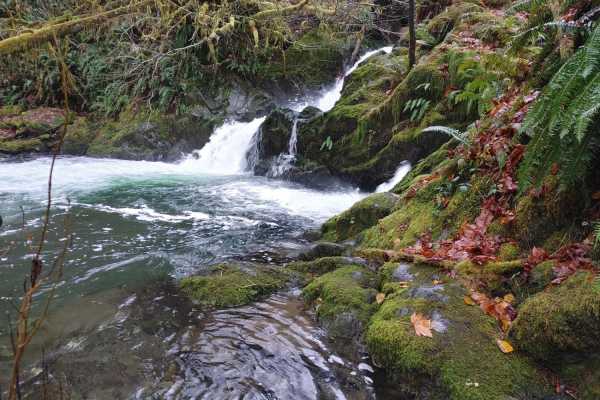
L-1200 is located in the Yacolt Burn State Forest. It's an easy gravel road that is well maintained by the state. Once on the trail, you will first cross the West Fork Washougal River where you can stop and enjoy the scenery and the small waterfall and even camp if you'd like. From there you continu...
Learn more about L-1200
Jubilee to Tiger Creek
This trail covers a large portion of the northern section of Jubilee. This trail is covered in snow during the winter and most of spring as well. This trail was rutted in some areas, and the brush was pretty tight for my full-size truck in places. There are some nice potential campsites tucked away ...
Learn more about Jubilee to Tiger Creek
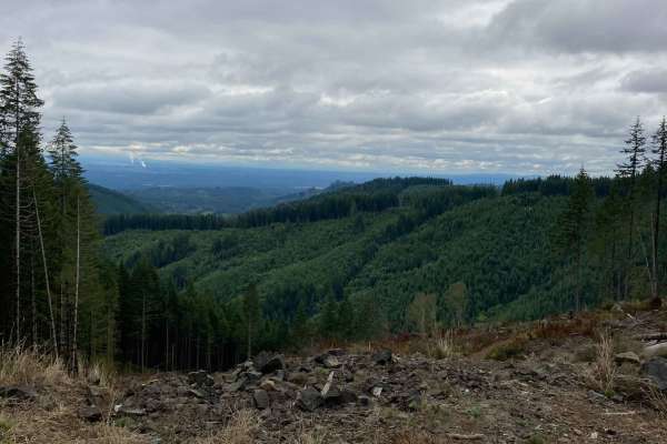
West Shady Pass to Big Hill
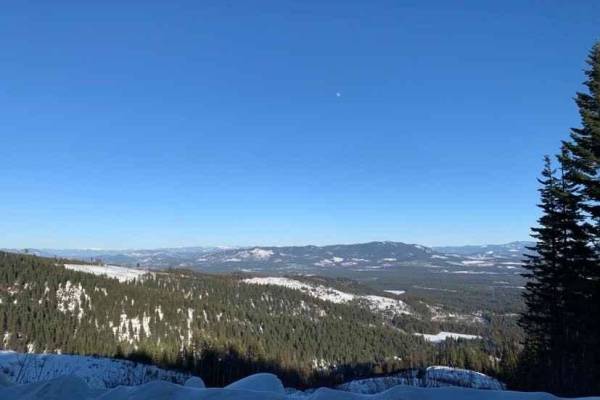
Big Hill is one of the best campsites in Washington. 360-degree views cover both the Chelan Mountains and Lake Chelan with some of the most incredible sunrises and sunsets you'll ever experience. The cabin at the top of Big Hill is open to the public but there is also a flat area for tents. The Fore...
Learn more about West Shady Pass to Big Hill
King of the Hill
This route starts from the Jones Creek Exit off the highway and immediately onto a dirt road. You will end up taking North Fork Wilson River Road, the first half of the route you are driving side by side with the river, not much incline in the first section. The road is dirt/mud in some sections and...
Learn more about King of the Hill
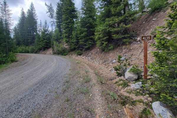
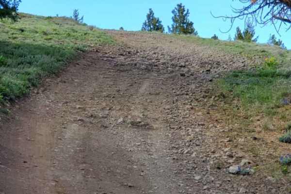
NF 4235 - Starvation Mountain
Turning North off of Forest Road 42, this trail weaves and winds its way upward into the Okanogan National Forest. The trail begins as a nice wide road but the higher up the mountainside, the more narrow it becomes. Water erosion and runoff were noted on the trail during rainy/wet conditions. Aside ...
Learn more about NF 4235 - Starvation Mountain
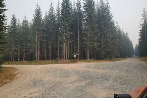
Washington Backcountry Discovery Route Section 1
This route covers all of section 1 of the Washington Backcountry Discovery Route (WABDR) from Carson to Packwood. Weather and route conditions can vary significantly from one area to the next, especially in early spring or late fall. This route is mostly impassible in winter due to snow. Early sprin...
Learn more about Washington Backcountry Discovery Route Section 1
Sherlock Peak Byway
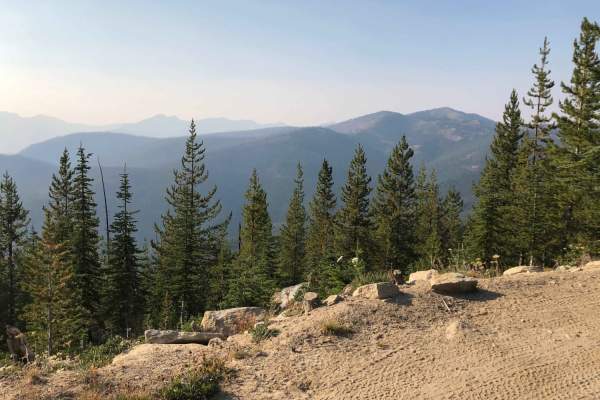
This Sherlock Peak Byway gives a slow steady drive with some washed-out areas of the road during Spring and Fall. Along this trail, you'll see great views and deep treed areas providing an enjoyable ride any time of the year. It also encompasses part of the Cottonwood Divide Trail and joins the Cott...
Learn more about Sherlock Peak Byway

North Fork Gold Creek
The North Fork Gold Creek trail begins 7.25 miles from Highway 153 at the junction with Buttermilk-Libby Road. This easy route is made up of gravel and crushed granite and travels almost entirely through the Okanogan National Forest except for the final 3 miles, which pass through an area of 15 priv...
Learn more about North Fork Gold Creek
Quilomene Ridge Road
This route is a continuation of Quiomene Ridge Road. The trail combines dirt, loose rocks with scattered mud puddles. All the mud puddles we traversed were up to one foot deep. The trail is much wider on this section of the Quilomene Ridge Road and than the section that takes you down to Quilomene B...
Learn more about Quilomene Ridge Road
Frisco Standard - Boundary
Frisco Standard Road is the northernmost access from the Juanita border crossing into Canada across into Pend Oreille County, emerging at Boundary Dam. It's a USFS gravel road and is 2WD in good weather; it's not a year-round road for wheeled vehicles. Both Stevens and Pend Oreille County roads ar...
Learn more about Frisco Standard - Boundary
FR- 716021
This forest road leads to dispersed camping alongside the Ranger Creek Airstrip. This is an active airstrip for smaller personal planes in the spring/summer/fall but is closed during the winter. When traveling down this forest road, the dispersed camping area is on the right-hand side. To my knowled...
Learn more about FR- 716021
Capitol Forest Tour
This is an easy trail if you stay on the main tracks--mostly gravel roads, with some asphalt mixed in. There are plenty of places to venture off the main track and find mud, tight technical spots, and some camp areas. It gets tight and slippery back there; I advise going with another vehicle or havi...
Learn more about Capitol Forest Tour
Cabin Creek Road (NF-41)
As you start on Cabin Creek Road, from the Stampede Pass side, you'll begin to ascend about 900 feet over 4.5 miles that will lead you along some beautiful views looking east over the mountains and hills. Be warned though, this part of the journey does ride close to some very steep drop offs and is ...
Learn more about Cabin Creek Road (NF-41)
ATV trails in Washington
Explore ATV-friendly trails in Washington. These trails are accessible for vehicles up to 50 inches wide, perfect for ATVs and smaller off-road machines.
L-1100
L-1100 is located in the Yacolt Burn State Forest which is nestled at the base of the Cascade Mountain Range in Southwest Washington. These roads are well maintained and are gravel with very few potholes. There are houses and private property along this route for the first section of this trail. The...
Learn more about L-1100
Brickel Creek Road
This road travels east/west through Inland Empire Paper's Brickel Creek Gate and connects to multiple other trails. The road is normally in decent shape with just a few ruts and washouts along the way. Mud or snow conditions may add to the difficulty level in spring and fall. This is a popular ar...
Learn more about Brickel Creek Road
East Waddell Basin
Easternmost trail that runs between Middle Waddell, the Southernmost staging area, and Rock Candy, the Northernmost staging area. The trail runs through fast flowy wooded sections, along with up and down switchbacks in the trees and out in the clear cuts. The trail is mostly composed of clay dirt, w...
Learn more about East Waddell Basin
Cleman Mountain
The Cleman Mountain trail is a relatively easy trail with great views. This trail is mainly a one vehicle wide road with lots of wide places to pass. The trail does not have many obstacles but is very rough with some loose rock and a few rutted sections. Along the way you will go through some meadow...
Learn more about Cleman Mountain
UTV/side-by-side trails in Washington
Find UTV and side-by-side trails in Washington. These trails accommodate vehicles up to 60 inches wide, ideal for UTVs, side-by-sides, and wider off-road rigs.
L-1100
L-1100 is located in the Yacolt Burn State Forest which is nestled at the base of the Cascade Mountain Range in Southwest Washington. These roads are well maintained and are gravel with very few potholes. There are houses and private property along this route for the first section of this trail. The...
Learn more about L-1100
Brickel Creek Road
This road travels east/west through Inland Empire Paper's Brickel Creek Gate and connects to multiple other trails. The road is normally in decent shape with just a few ruts and washouts along the way. Mud or snow conditions may add to the difficulty level in spring and fall. This is a popular ar...
Learn more about Brickel Creek Road
Cleman Mountain
The Cleman Mountain trail is a relatively easy trail with great views. This trail is mainly a one vehicle wide road with lots of wide places to pass. The trail does not have many obstacles but is very rough with some loose rock and a few rutted sections. Along the way you will go through some meadow...
Learn more about Cleman Mountain
NF-2550 (HooDoo)
This route crosses over Mt HooDoo (elevation 5,119') from Blanchard to Priest River via National Forest Road 2550. The views up here are incredible on a clear day. Mt. Hoodoo is a popular spot for off-roading, hunting, and ATV's. It's also popular with snowmobilers during the winter months.
Learn more about NF-2550 (HooDoo)
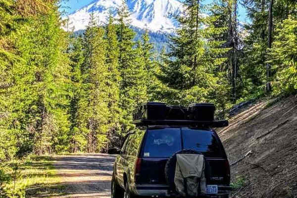
The onX Offroad Difference
onX Offroad combines trail photos, descriptions, difficulty ratings, width restrictions, seasonality, and more in a user-friendly interface. Available on all devices, with offline access and full compatibility with CarPlay and Android Auto. Discover what you're missing today!
Open Trail Map